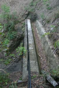
Remnants of the uprights of the old railway trestle crossing the creek on the original alignment just south of Mooloolah can still be seen on the western side of the road near the road bridge that has been closed to motor vehicle use.
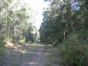
While the forests along the route have been very heavily logged in the past, the park still preserves the species sets that are typical of the sandstone landscapes of this area.
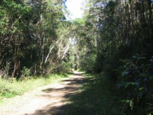
The tunnel has a beautiful natural low reverberation pitch.
Last updated: 23 November 2022
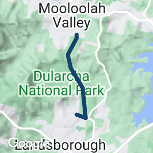
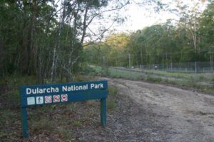
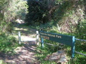
This short rail trail actually follows the main Brisbane-Cairns railway line between Landsborough and Mooloolah in what is sort of a “railway” national park, the Dularcha National Park.
It incorporates some of the original alignment of the railway line that was abandoned in 1931 when a flatter route was opened.
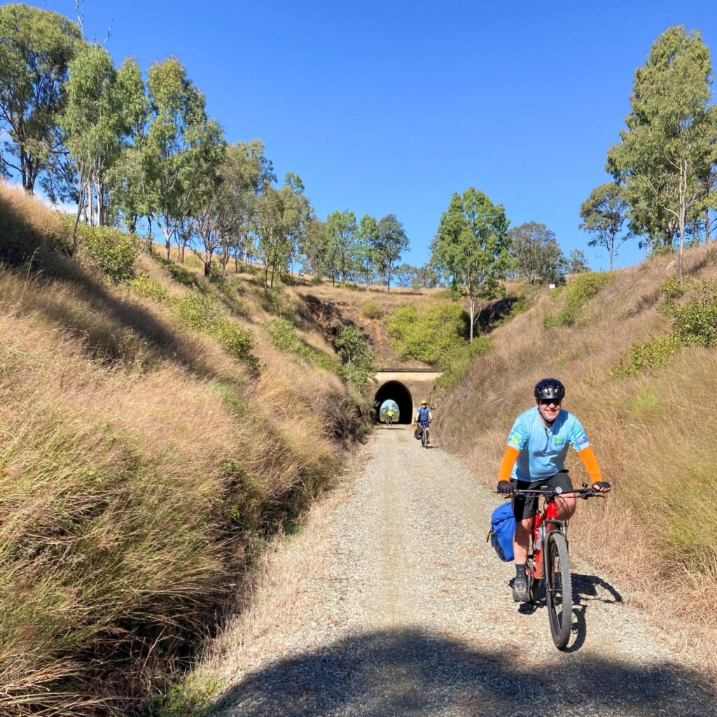
This original alignment incorporates a 100m tunnel constructed in 1890.
Section Guides
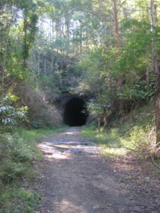
Most of the section of the track adjacent to the current railway line is fenced securely. The old railway alignment and the tunnel are used by at least two utility providers, for Telstra fibre optics and a Caloundra City Council sewerage main.
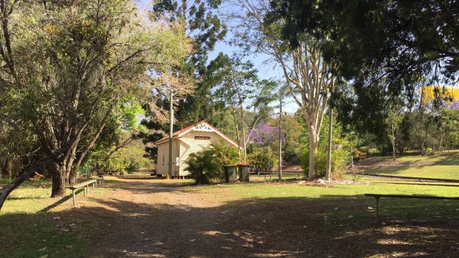
At the northern end, access by car is via King Rd and Dorson St because an old timber bridge on Paget St has been closed to vehicles. Pedestrians and cyclists can take the more direct route via Jones St then Paget St.
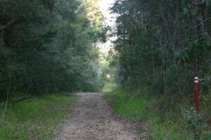
Landsborough Dularcha just south of tunnel.
Landsborough Dularcha - south portal.
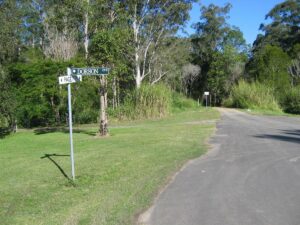
Paget Street.
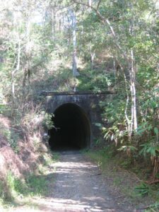
North portal.
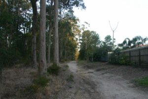
North End.
North End.
Do you know of a bike hire or transportation service on this rail trail that should appear here? If so, let us know at admin@railtrails.org.au.
Information and Links
The trail is managed by the Queensland Government Department of National Parks, Recreation, Sports and Racing
Queensland Government Department of National Parks, Recreation, Sports and Racing
Report any issues via the above website or through Ph 13 QGOV (13 74 68).
There are no toilets or water along this trail.
This route is well suited to use of the train to travel from one end to the other before undertaking the walk back to the station of your choice (Landsborough or Mooloolah Stations).
Schedules for the City train and Railbus services can be obtained from TRANSLINK, phone 131230 or website www.tranlink.com.au
To advertise your rail trail support business on this page, please click here
To contact us about this trail, email or click here qld@railtrails.org.au
July 2013
Contact Rail Trails Australia
To contact us about this rail trail, email qld@railtrails.org.au
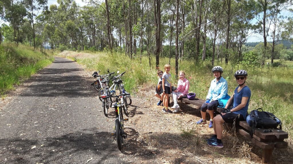
Enjoy a Guided walk along the Dularcha National Park Rail Trail (QLD)
Posted: 13/10/14
The Glasshouse Country Festival on again, Saturday 25 October . So why not Join the "Mooloolah Mob" ...
More...Glasshouse Country Festival
Posted: 02/10/13
Come out for a day in the country and vist the many events wihich are ...
More...Nearby Trails
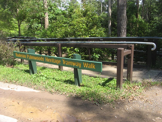
Buderim Tramway Heritage Trail
100 km north of Brisbane
2 km


Caboolture – Wamuran & Loop Rail Trail
Caboolture, 47km north of Brisbane
10.5 km


Mary Valley Rail Trail
158km north of Brisbane (via Caboolture), 167km via Gympie, 53km west of Noosa
5 km

Ferny Grove Rail Trail
Samford Valley, north west of Brisbane, 16km from Brisbane
5 km
Brisbane Valley Rail Trail
Wulkuraka is 46km southwest of Brisbane
161 km

Wulkuraka – Brassall Rail Trail
41 km west of Brisbane.
3 km
Kilkivan – Kingaroy Rail Trail
SE Qld, 225 km northwest of Brisbane
89 km
Bethania to Beaudesert Rail Trail
South of Brisbane, 40km from Brisbane
3.5 km
Nearby Trails
Buderim Tramway Heritage Trail
100 km north of Brisbane
2 km
Caboolture – Wamuran & Loop Rail Trail
Caboolture, 47km north of Brisbane
10.5 km
Mary Valley Rail Trail
158km north of Brisbane (via Caboolture), 167km via Gympie, 53km west of Noosa
5 km
Ferny Grove Rail Trail
Samford Valley, north west of Brisbane, 16km from Brisbane
5 km
Brisbane Valley Rail Trail
Wulkuraka is 46km southwest of Brisbane
161 km
Wulkuraka – Brassall Rail Trail
41 km west of Brisbane.
3 km
Kilkivan – Kingaroy Rail Trail
SE Qld, 225 km northwest of Brisbane
89 km
Bethania to Beaudesert Rail Trail
South of Brisbane, 40km from Brisbane
3.5 km
One review of “Dularcha National Park Rail Trail”
We tried to access the trail from the end of Rose Road. Where the road ends, there is a multi-user trailhead marker to the right of the road, but the track is very overgrown and I think it would be quite steep to access from here.