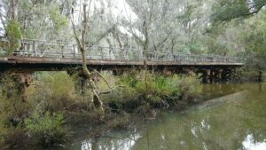
- The Sidings Rail Trail follows part of the route of the Nannup Branch Railway, linking the small settlement of Jarrahwood with the town of Nannup. Running alongside St Johns Brook, the trail provides views from rail bridges across the brook and the Blackwood River as it enters Nannup
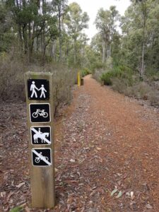
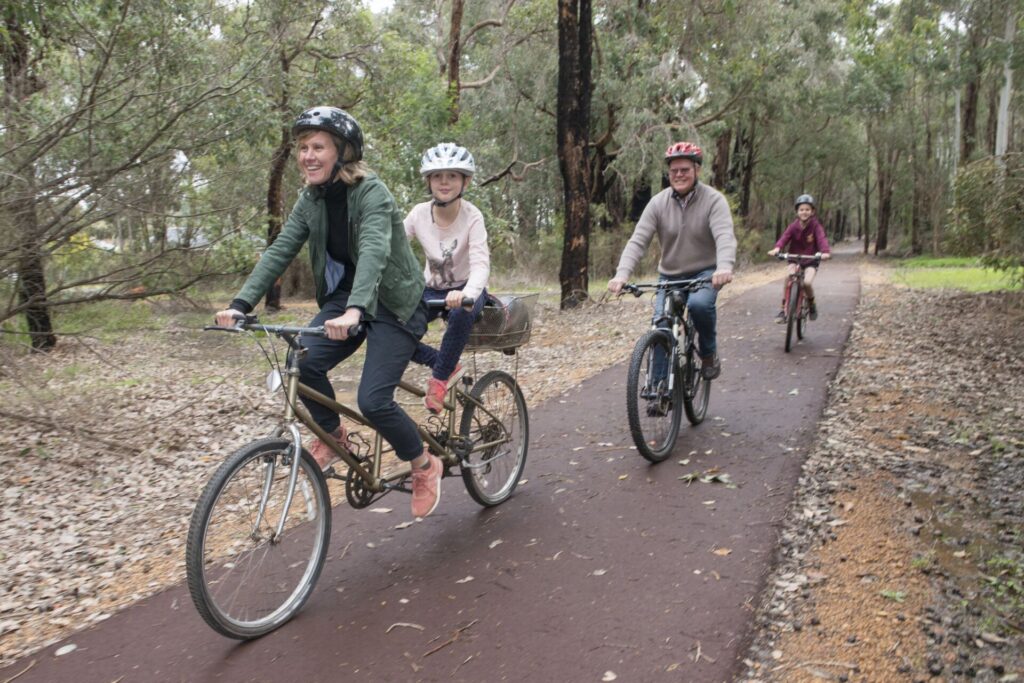
- A gentle and easy ride suitable for families and less experienced riders, the trail forms part of the 1000 km Munda Biddi Trail that stretches from Mundaring in the Perth Hills south to Albany
Nearby Attractions
- A gentle, easy ride along a well maintained rail trail
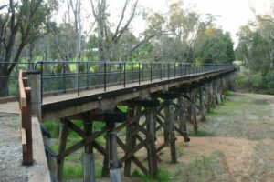
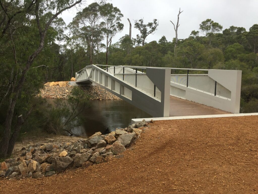
- Crossing the impressive rail bridges over the Blackwood River and St Johns Brook, and passing several more disused bridges
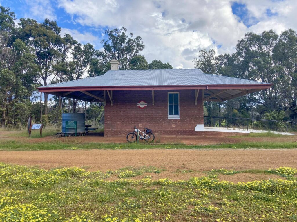
- Informative panels on the area’s railway and timber heritage
- Views of the ‘flood tree,’ which marks major flood events along the river
- Riding and walking through stands of mature jarrah forest and along St Johns Brook
- Wildflower blooms, particularly in late spring
- Overnight camping in Jarrahwood at the Munda Biddi’s Nala Mia shelter
- Can be combined with the Old Timberline Trail to form a comfortable day loop ride from the trail town of Nannup
Last updated: 9 December 2022
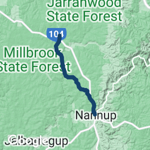
Jarrahwood to Nannup
Starting at the small settlement of Jarrahwood, the trail leaves town via Old Vasse Rd parallel to the rail formation, then joins the rail formation as the trail crosses Vasse Hwy. Passing a number of disused rail bridges, the trail goes gently downhill as it crosses St Johns Brook on the way to Cambray Siding, where the Old Timberline Trail provides an alternative route to Nannup.
From Cambray Siding, the trail is mildly uphill as it passes Rocky Gully and farmland before crossing Vasse Hwy. Passing through a mix of Jarrah forest and farmland, the trail reaches the banks of Blackwood River as it crosses the Old Railway Bridge into Nannup.
The southern end of the trail is at the railway bridge at Nannup

Typical scenery between Cambray Sidings and Nannup. (Garry Long 2018)
Typical scenery Jarrahdale and Cambray Sidings. (Garry Long 2018)
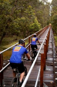
Bridge between Jarrahdale and Cambray Sidings (Garry Long 2018)
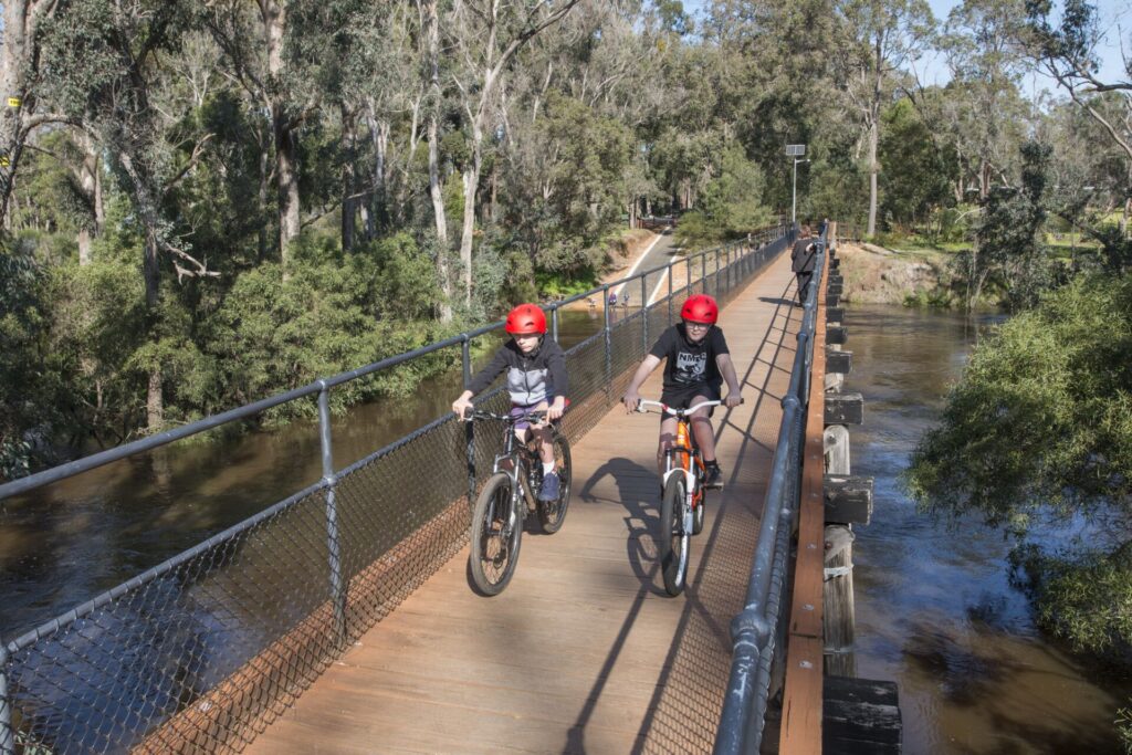
Crossing the timber railway bridge over St John Brook. (Department of Environment and Conservation and Munda Biddi Trail Foundation)
Do you know of a bike hire or transportation service on this rail trail that should appear here? If so, let us know at admin@railtrails.org.au.
Information and Links
See Services tab above for links to services and businesses along this trail
For more information:
- Trails WA
- The Long Way’s Better for a detailed description of the trail experience
The trail is managed by the Department of Biodiversity, Conservation and Attractions and the Munda Biddi Trail Foundation.
To report any issues or problems please contact the DBCA Blackwood Office on 9752 5555 or the Munda Biddi Trail Foundation via its online form
Contact Rail Trails Australia
To contact us about this rail trail, email wa@railtrails.org.au
Background Information
Traditional owners
We acknowledge the Bibbulman people, the traditional custodians of the land and waterways on which the rail trail is built.
Development and future of the rail trail
The Warren-Blackwood 2050 Cycling Strategy identifies the disused Ruabon-Tutunup rail corridor as an opportunity to link Jarrahwood with Busselton, which would see the trail cover all of the old Nannup Branch Railway.
Rail line history
The Nannup Branch Railway from Wonnerup to Jarrahwood was completed in 1898 by the Jarrah Wood and Saw Mills Company to transfer timber to the port of Busselton. The line operated until 1903 before being bought by the WA Government Railways in 1907. The line was completed to Nannup via Cambray Siding in 1909 and operated until 1984.
Nearby Trails
Old Timberline Trail
97km south of Bunbury
20 km


Wadandi Track
220 km south of Perth
54 km

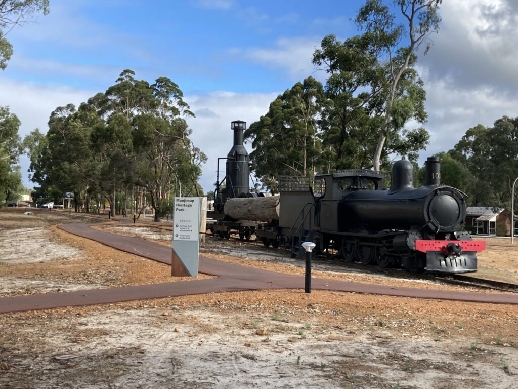
Manjimup to Deanmill Heritage Trail
290 km south of Perth
6 km
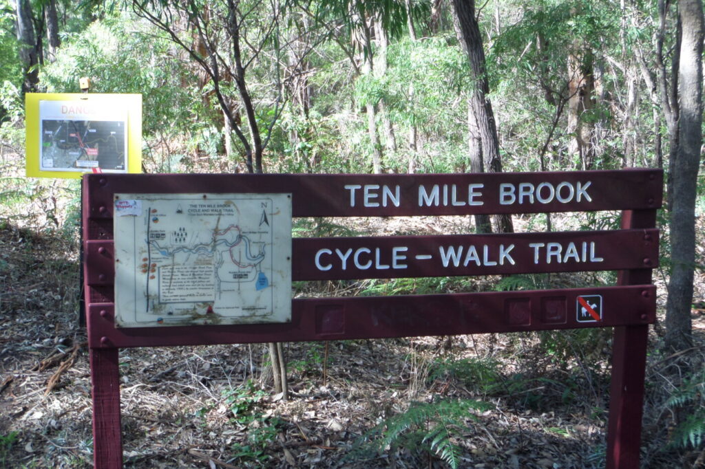
Ten Mile Brook Trail
270km south of Perth
7 km
Manjimup Linear Path
290 km south of Perth
4 km


Darch Trail
270 km south of Perth
3 km
Collie – Darkan Rail Trail
219km south of Perth/ 75km from Bunbury
63 km

Nearby Trails
Old Timberline Trail
97km south of Bunbury
20 km
Wadandi Track
220 km south of Perth
54 km
Manjimup to Deanmill Heritage Trail
290 km south of Perth
6 km
Ten Mile Brook Trail
270km south of Perth
7 km
Manjimup Linear Path
290 km south of Perth
4 km
Darch Trail
270 km south of Perth
3 km
Collie – Darkan Rail Trail
219km south of Perth/ 75km from Bunbury
63 km