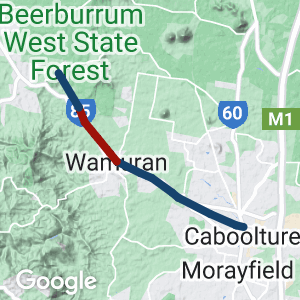
- This is a showcase rail trail that accommodates multiple active transport modalities and represents best practice in the design and delivery of a sealed surface rail trail
- Provides commuting and recreational opportunities for the local community
- Completed in 2021, this is a high quality urban rail trail with some rural sections close to Brisbane.
- There is an existing short but scenic trail west of Wamuran.
Nearby Attractions
- All-weather sealed surface
- Extensive landscaping, including railway themed pavement treatments at road crossings
- Superb trailhead shelters at both ends with shade, seating, water (for people and dogs), bike repair stations and heritage information displays
- Landscape moves from inner city to rural residential with extensive tree plantings along more exposed sections towards Caboolture, and incorporating heavily treed sections near Wamuran
- Information signs detailing the area’s heritage
Last updated: 31 October 2023
- Car parking is available at both trailheads.
- The first section of the trail from Caboolture marks a change from light industry to residential suburbs and provides a commuting pathway for a number of schools that border or are close to the trail.
- Approaching Wamuran, the trail passes a sawmill and timber yard that were once served by the railway as well as farmland that is still used to grow strawberries and pineapples.
Section Guides
Caboolture to Wamuran (10.5km)
- It has a 3m to 3.5m wide asphalt surface commencing from Beerburrum Road, Caboolture and terminating at Atwood Street, Wamuran.
- The rail trail includes a major entry statement in Caboolture and Wamuran and also include shelters, lighting, information map boards, drinking fountains, seating, and landscaping.
- The pathway is designed for all-weather usage being mostly constructed of asphalt with some key entry sections of decorative concrete.
- Features of the trail include bridges, road crossings, seating nodes, landscaping and way finding signage.
- If driving to the entry at Caboolture it is recommended to park in Toohey St.
- The trail provides a key transport link for pedestrians and cyclists attending local schools including Tullawong State School, Tullawong State High School, Grace Lutheran College, St Peter’s Catholic Primary School and St Paul’s Lutheran Primary School.
Wamuran Forest (6 km)
This trail winds through state forest near the Glasshouse Mountains. It is an attractive walk or ride and is included in Bicycle Queensland’s book Good Rides in South East Queensland.
- It has a reasonably smooth dirt surface.
- The trail starts at Mylett Road. This road is a dead end, and the trail starts at the gate at the end of the road. It finishes at a gate on Raaen Road. This gate is marked with a TRAIL sign.
- It is possible to ride from the trail head at Wamuran to access the Mylett Road trail head on quiet roads for approx 5kms. See the map.
These TRAIL signs actually mark the “Wamuran Loop Trail” (28km) which runs through the forest and, also starting at Raaen Road. The Loop Trail also takes in a short section of former railway beside the highway just west of Wamuran.
Durundur Railway
At Woodford, 13km north west of Wamuran, a short section of the old line has been developed as a tourist railway. The original station buildings from both Wamuran and D’Aguilar can be found there. The 1km railway has been built to 2 foot (610mm) gauge and is based around locomotives from sugar cane lines.Trains operate on the 1st and 3rd Sunday of each month. For more information see the Railway’s Website.

Locals enjoying the rail trail in all weather! (2019, Moreton Bay Regional Council)
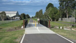
Typical bridge, here outside Grace College (2019)
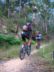
Mountain bikers enjoying the Wamuran section (2006)
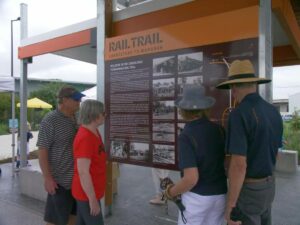
Interpretive signage portrays the history of the rail trail (2019, Moreton Bay Regional Council)
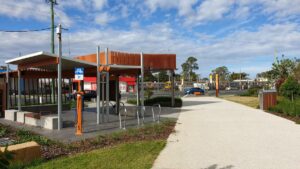
Bike repair station among the amenities at the start at Caboolture. Trains at the real station in the background (2019)
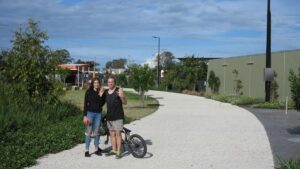
All ages are making use of the trail. (2019)
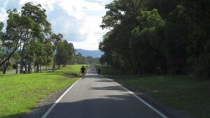
Walkers enjoying the scenery near Henzell Rd (2019)
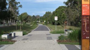
Current end of the Caboolture section at Bluebell Park (2019)
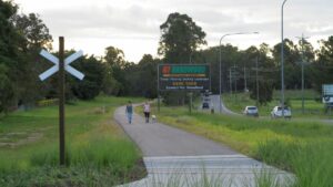
An open section near Wamuran (2019)
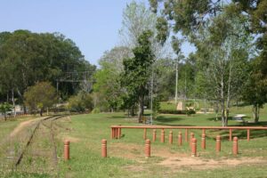
The railway station at Wamuran (2007)
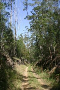
The middle of the DAguilar section (2007).
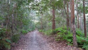
The state of the D'Aguilar loop section in 2019
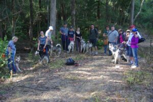
Dogs and their owners also enjoy the trail. (2011)
Do you know of a bike hire or transportation service on this rail trail that should appear here? If so, let us know at admin@railtrails.org.au.
Information and Links
Contact Rail Trails Australia
To contact us about this rail trail, email qld@railtrails.org.au
Background Information
Traditional owners
We acknowledge the Gubbi Gubbi people, the traditional custodians of the land and waterways on which the trail is built.
Development and future
The first stage of the rail trail to Wamuran was opened in 2019. Stage 2 was completed in 2020, and the last section was completed bin 2021.
The project is part of a $7 million investment by Moreton Bay Regional Council and the Queensland Government to deliver cycle and pedestrian facilities between Caboolture and Wamuran making sustainable travel easier.
The trail was officially opened in 2021 as a joint project of the Moreton Bay Regional Council and the Queensland Government. Investigations are ongoing to investigate extending the trail to Woodford.
Rail line history
The first major section of the railway, from Caboolture to Woodford, opened in December 1909 and was extended to Kilcoy in November 1913. The line included sidings or branch lines and loading platforms to allow freight and produce to be loaded to and from railway carriages at the Moodlu, Wamuran, Bracalba, D’Aguilar and Woodford stations. At the time Caboolture was a major sawmilling centre.
During the early 1900s the railway played an important role in the development of the region at a time when road transport was inefficient and unreliable. The railway enabled local sawmills to support the needs of a growing Brisbane and transported crops to feed the city’s increasing population. In turn, it provided a reliable transport link to the city and delivered mail and other supplies to the region’s towns.
Although the line between Wamuran and Kilcoy closed in July 1964, the section between Wamuran and Caboolture remained open and was used for freight transport. By this time the growth of industrial processing meant most local pineapple production was destined for the Golden Circle Cannery at Northgate. Fresh produce such as bananas and strawberries continued to be shipped to Brisbane and to southern States.
In the 1970s the Wamuran line became popular for day-trip steam train excursions, many using heritage trains. While this novelty bolstered the train runs, the demand for freight from the region was ebbing away as international markets were developed. The last operating section of the line from Caboolture to Wamuran was suspended in September 1996 and the line was officially closed in 2008. The original Wamuran Railway Station building has been relocated and is now used by the Australian Narrow Gauge Railway Museum Society in Woodford.
Caboolture Rail Trail Opens First Stage
Posted: 19/05/19
The first stage of the 10.5km Caboolture to Wamuran Rail Trail, north of Brisbane has ...
More...Wamuran Rail Trail Loop
Posted: 13/01/14
Damage to Caboolture- Wamuran Rail Loop, 50 km north of Brisbane from last years severe weather ...
More...Nearby Trails
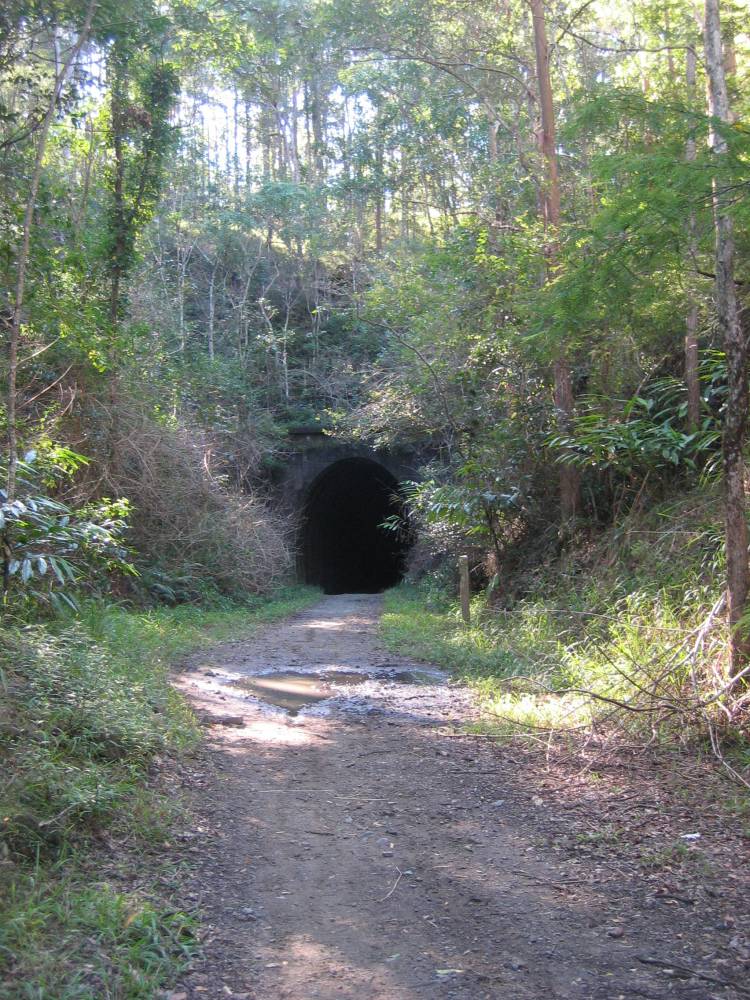
Dularcha National Park Rail Trail
North of Brisbane, 77km from Brisbane
3.2 km


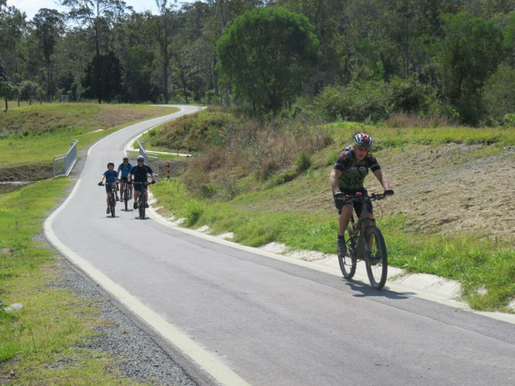
Ferny Grove Rail Trail
Samford Valley, north west of Brisbane, 16km from Brisbane
5 km


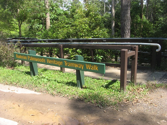
Buderim Tramway Heritage Trail
100 km north of Brisbane
2 km

Brisbane Valley Rail Trail
Wulkuraka is 46km southwest of Brisbane
161 km


Wulkuraka – Brassall Rail Trail
41 km west of Brisbane.
3 km


Mary Valley Rail Trail
158km north of Brisbane (via Caboolture), 167km via Gympie, 53km west of Noosa
5 km


Bethania to Beaudesert Rail Trail
South of Brisbane, 40km from Brisbane
3.5 km


Fassifern Rail Trail
Boonah South East of Brisbane
6 km


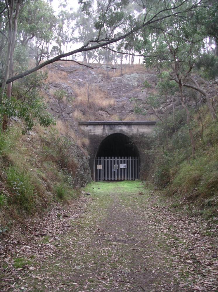
Muntapa Tunnel
15km south of Cooyar, north of Toowoomba, 210km from Brisbane
0.6 km

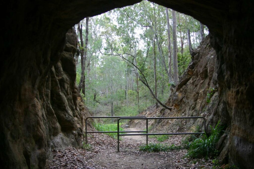
Canungra Tramway Tunnel
Canungra, south of Brisbane, 80km from Brisbane
1 km


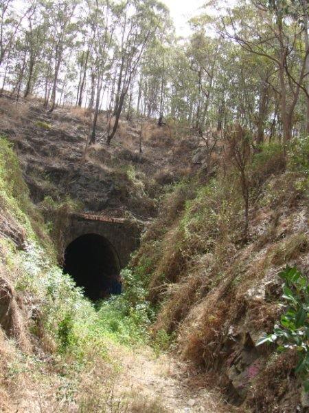
South Coast Rail Trail and Ernest Junction Tunnel
60 km from Brisbane
0.75 km


4 reviews of “Caboolture – Wamuran & Loop Rail Trail”
This certainly is a well built trail and the pavement is sealed in a thick bitumen which is very smooth to ride on. The trail has lots of landscaping with native trees and being spring time the blooms are a plenty.
Plenty of signage, water stations, seats and picnic areas at the trail heads . Also a tools, pump and bike stand at the Caboolture end. Sadly a few signs of vandalism and I had a motorbike rider pass me twice which just takes away from the rail trail experience and visit. A nice, short but enjoyable ride well worth the effort to go there. Another one of the short rail trails which you can include when on a trip elsewhere and you are
passing.
Well built trail from Caboolture to Wamuran. Enjoyable. Very difficult to find loop ride on directions given.
Nice to see rails included at the Wamuran trail head of this short 10km long rail trail which travels to Caboolture.
It's paved all the way and has some nice infrastructure along the way including bike tools, water bottle filling stations and plenty of benches.
The trail passes through a couple of tree lined cuttings and is a relaxing ride which ends near Caboolture Railway station. I saw plenty of families using this trail.
Not a trail I would visit just to ride it, but still it's a nice ride if you're in the area. I assume it is well used by the locals as a commuter route.
There is a less developed short bush ride section further west towards Woodford but from what I saw from a brief stop at the western trail head there is a major washaway.
Moreton Bay Council had just announced that the trail from Caboolture to Wamuran was open so we took a ride to check it out on 15May20. We started at Caboolture and rode the 10km to Wamuran and then back. The finished section of the trail is in excellent condition and reasonably flat, but the middle part was still under construction with graders and workers on the road doing the road base, although you can still cycle through safely.
It was a pretty ride and well signposted with good coffee shops close the start and finish.
At this stage it is hard to find the start or finish addresses so we took lots of photos and added these details to Google maps, but if you want to start at Caboolture enter ’51 Toohey Rd, Caboolture’ into Google maps and this will take you to the rail trail carpark.