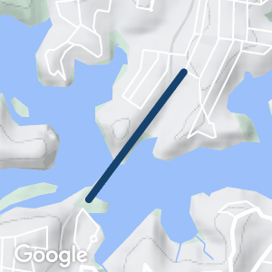
This former railway bridge spans the Georges River and connects the southern suburbs of Como (to the south) and Oatley (to the north) on either side of the river.
The old bridge is significant as the longest single-track lattice girder bridge in NSW, and is a rare example of its type.
Nearby Attractions
- Bush and river scenery
- Historic bridge with excellent sealed surface
- The Como bridge can be part of a larger cycle tour in the southern suburbs of Sydney
Last updated: 28 November 2022
A sealed 1.5 km walking and cycle path begins at the end of Myra Place, about 1 km from Oatley Railway station and travels south along the old railway corridor, crossing the bridge and finishing in Cremona Rd Como.
At the Como end, the path continues through Como Reserve to the historic Como Hotel and adjacent streets.
Section Guides
Oatley to Como
Como Bridge crosses the Georges River on the old railway alignment.
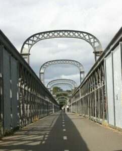
Como BridgeNSW
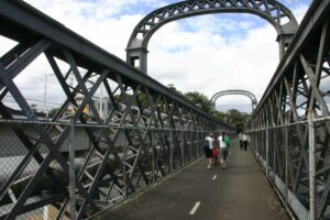
The Oatley/Como Rail Trail Bridge
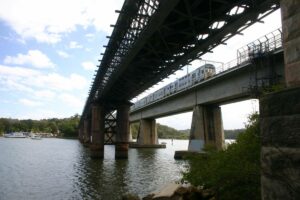
Old and new bridges
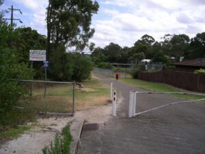
Oatley end of the pathway just 1 klm before the bridge
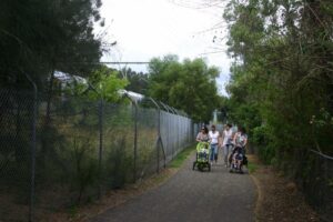
On the Trail
Do you know of a bike hire or transportation service on this rail trail that should appear here? If so, let us know at admin@railtrails.org.au.
Information and Links
Check websites dealing with Sydney’s bicycle pathways for more information about connecting paths.
The Como Bridge is located in the Georges River Council LGA: https://www.georgesriver.nsw.gov.au/Home
Contact Rail Trails Australia
To contact us about this rail trail, email nsw@railtrails.org.au
Background Information
Traditional Owners
We acknowledge the Tharawal people, the traditional custodians of the land and waterways on which the rail trail is built.
Rail Trail development
A well-maintained black-top carriageway has been installed on the old bridge, providing an excellent walking and cycling route for recreational use.
Railway history
The steel truss bridge was opened in 1885 and once carried a single track on the main line from Sydney to Port Kembla.
It closed in 1972 and was replaced by an adjacent new double track bridge.
Nearby Trails
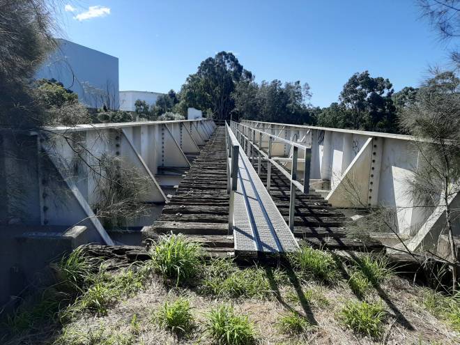
Pippita Rail Trail
19 km west of Sydney, near Sydney Olympic Park

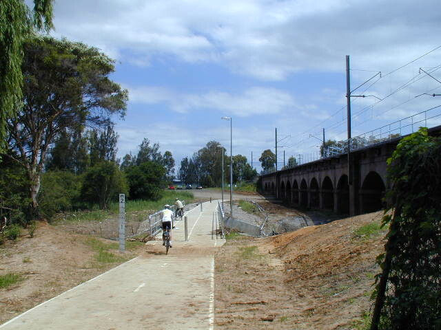
Parramatta to Liverpool Railside Trail
25 km west of Sydney CBD
17 km


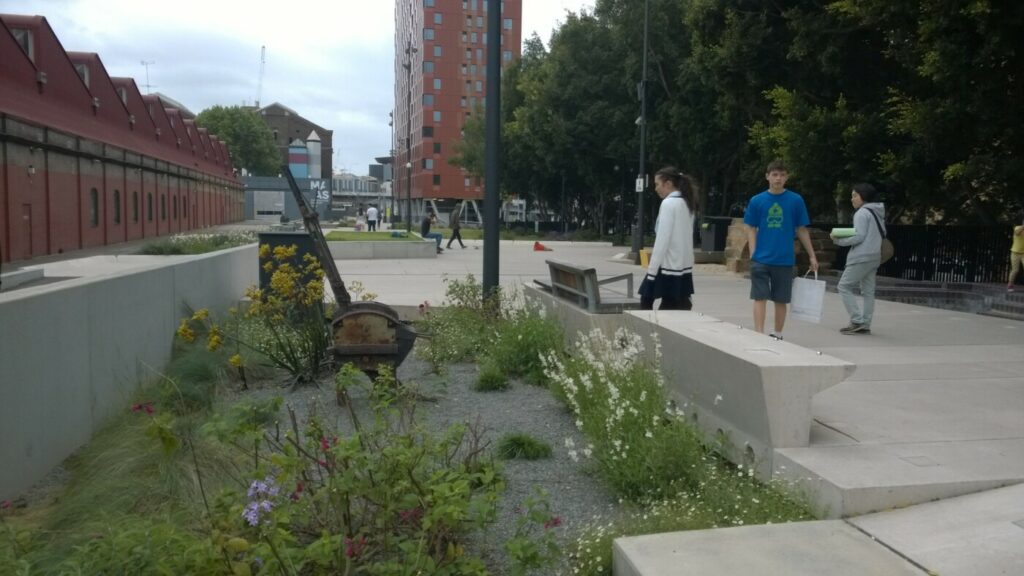
The Goods Line
2 km from the Sydney GPO
1 km


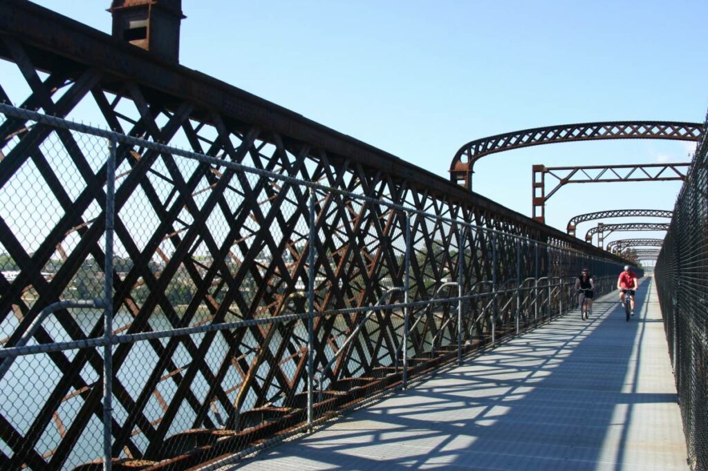
Meadowbank Railway Bridge
15 km west of Sydney
0.5 km


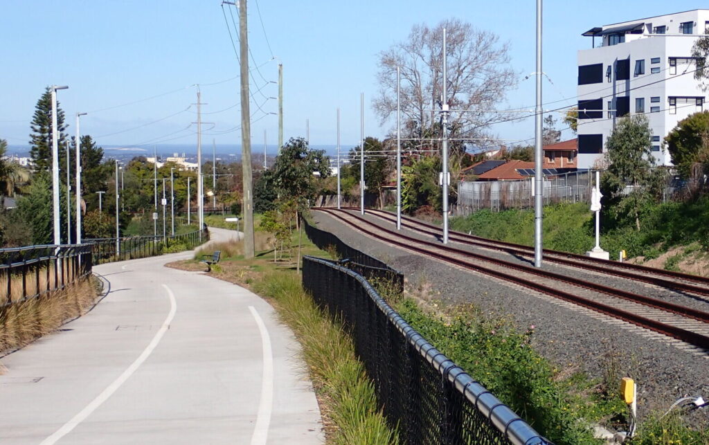
Rosehill to Carlingford Railside Trail
Western Sydney, 23km from Sydney CBD
5 km


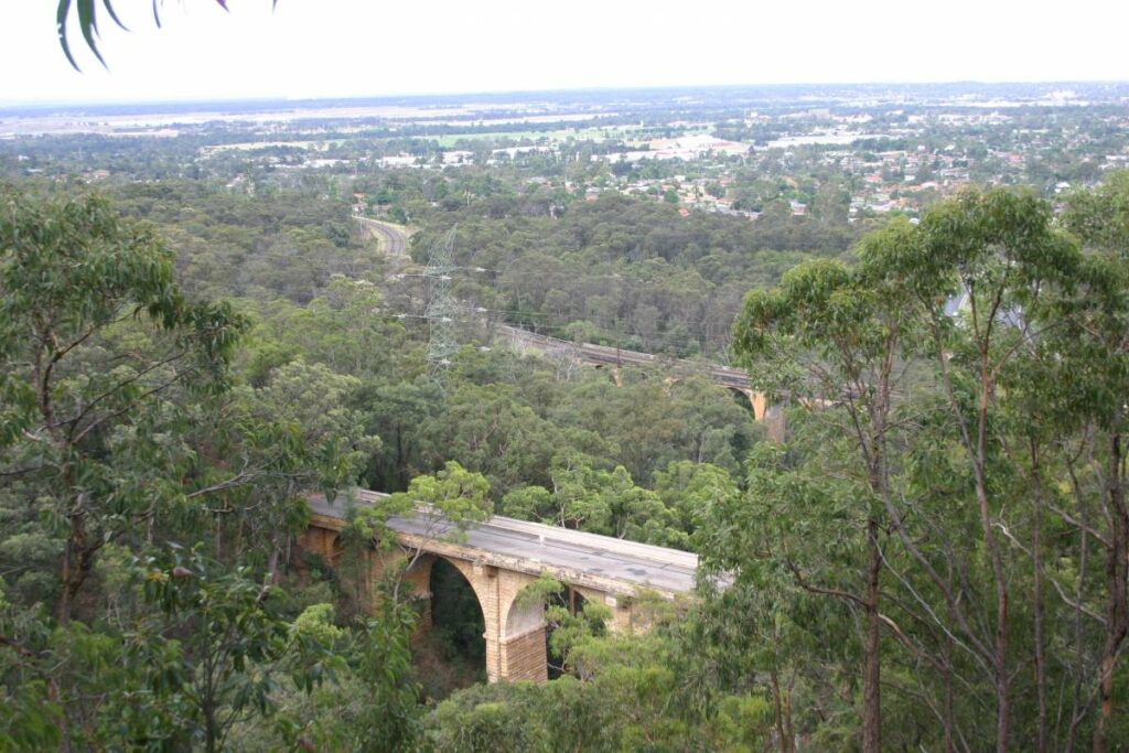
Lapstone Knapsack Viaduct and Zig-Zag
60 km west of Sydney
1.5 km


Mt Kembla Memorial Pathway
100 km south of Sydney
2 km


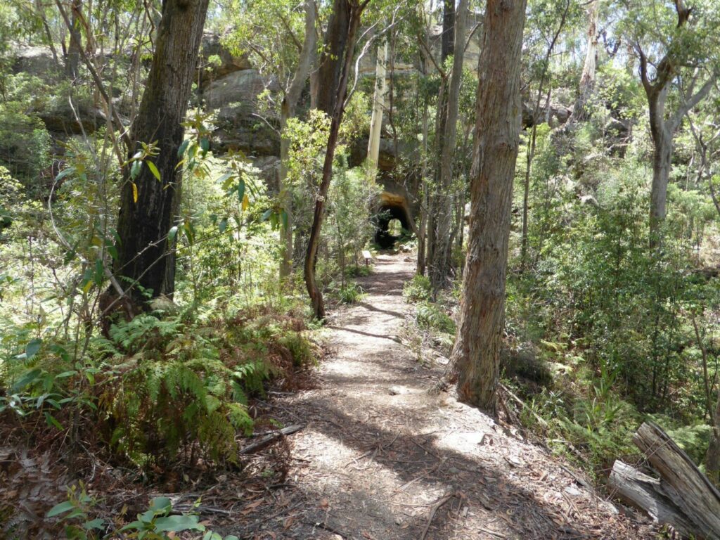
Box Vale Tramway Trail
110 km south-west of Sydney, in the Southern Highlands
5 km


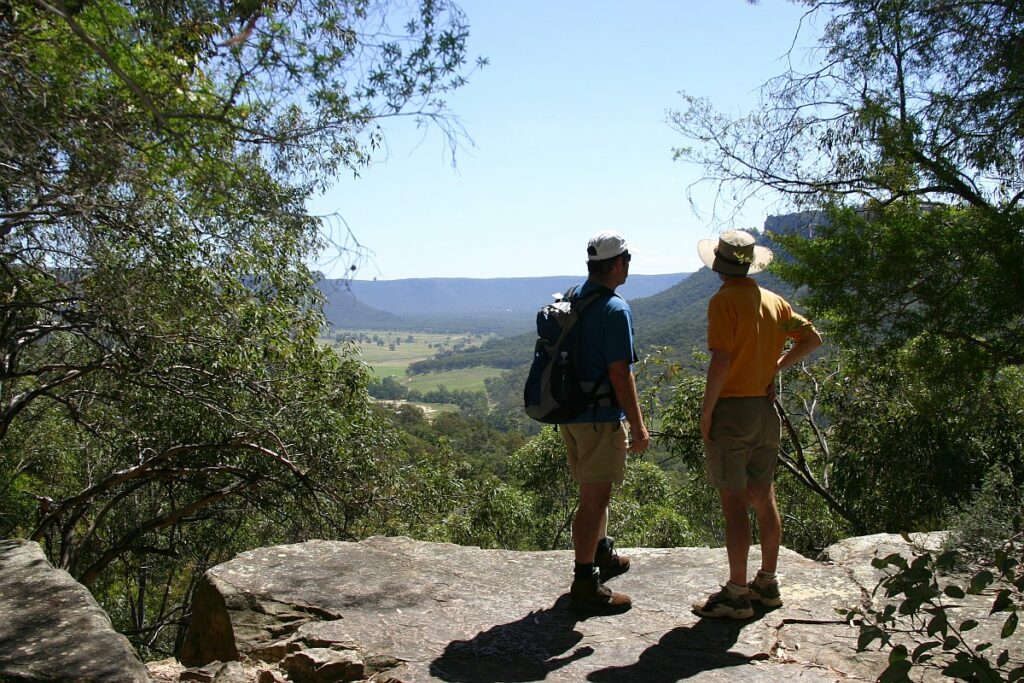
Wolgan Valley Rail Trail
Newnes is 190 km West of Sydney
11 km


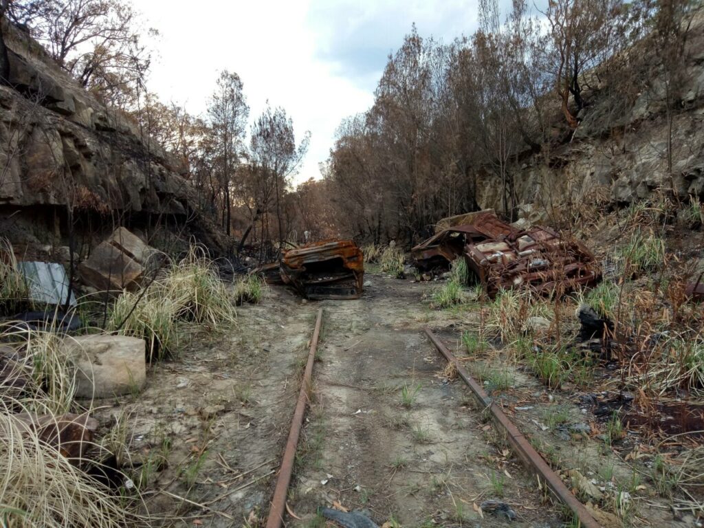
Awaba – Wangi Wangi Rail Trail
130 km north of Sydney

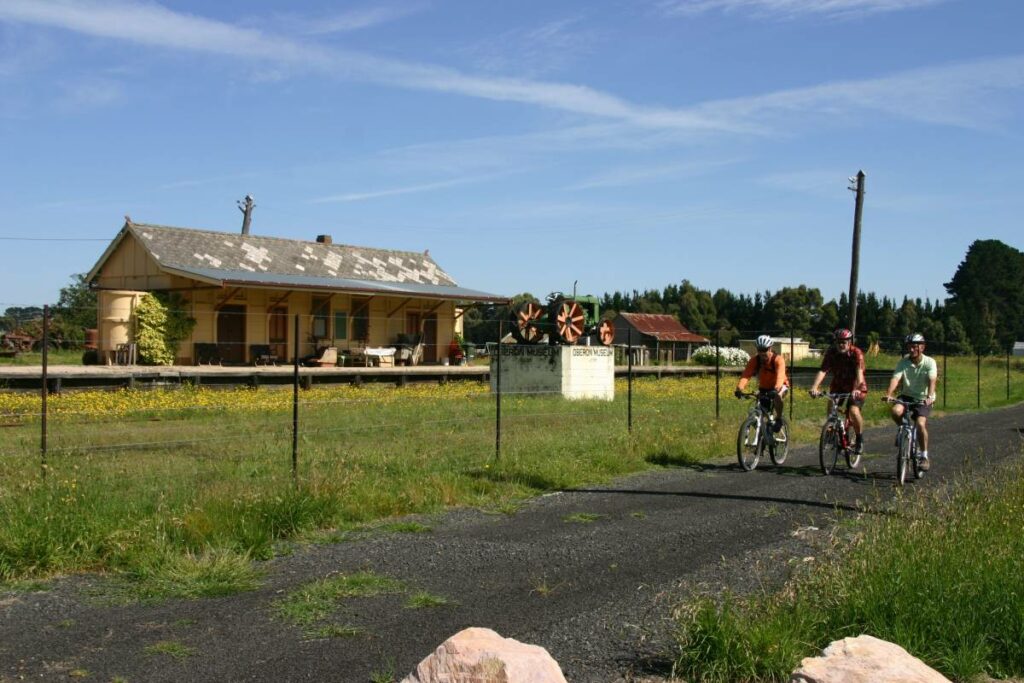
Pioneer Rail Trail Oberon
180 km west of Sydney
6 km


3 reviews of “Como Bridge”
I lived in Como for around 20 years until 2014 and used the Como Bridge trail on a regular basis to go between Como and Oatley and return. It is a near enough to level track with well maintained bitumen.
Since the renovation of the Como Pleasure Grounds on the southern side of the bridge, there is now a great little cafe to enjoy a coffee and light snack along the way. Remnants of the original Como railway station remain but are fenced off.
Fabulous other than some cyclists that refuse to slow down over the bridge. This is a great community link and pre-dates the rail trail movement by decades.
I rode this trail late this afternoon (24/3/16), and it’s a great little trail. The bridge over the Georges River is the highlight with good views. Surface quality is fine and no major obstacles that a rider needs to worried about. Alot of pedestrians.
G’day,
I ride the bridge a couple of times each week. There are two things that riders should know.
Firstly, there is a 30m section at the southern end between the lookout and the railway access gate where the surface is very bumby. On a road bike it is very uncomfortable.
Secondly, the posted maximum speed for bicycles is – wait for it – 5kph!
If you try to ride at that pace you will be passed by pedestrians.
Other than that, it’s a great venue to ride.
Bill