- A rail trial steeped in Colonial and Maritime history
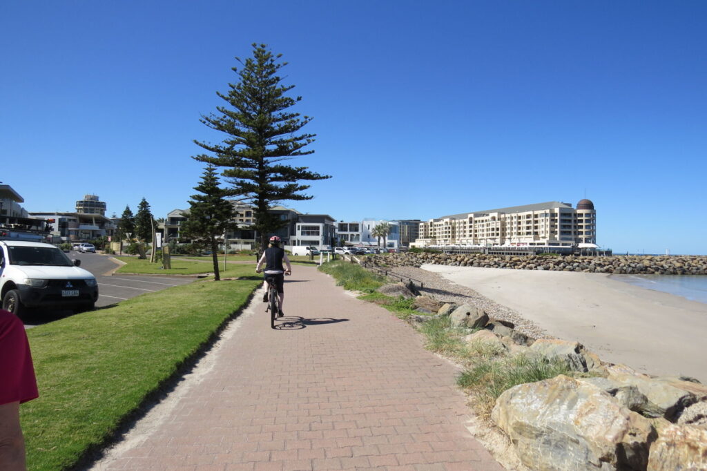
- The trail connects with the Coast Park, a 28km shared use trail along a continuous sandy beach coast line
- The trail links with several side trails that explore the Port Dock precinct and the coastal beach area of Semaphore
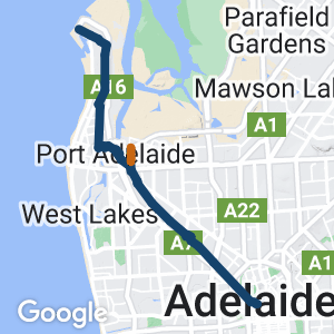
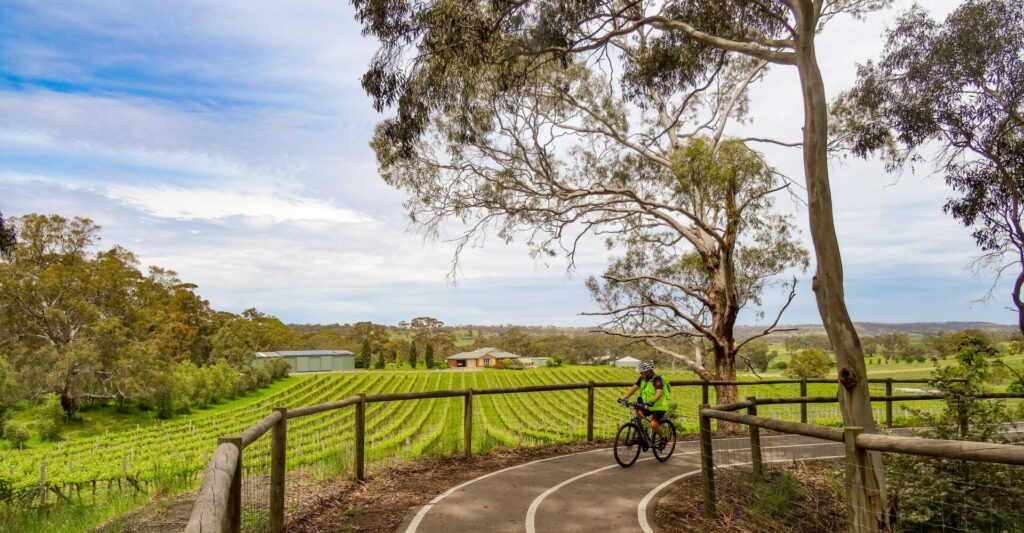
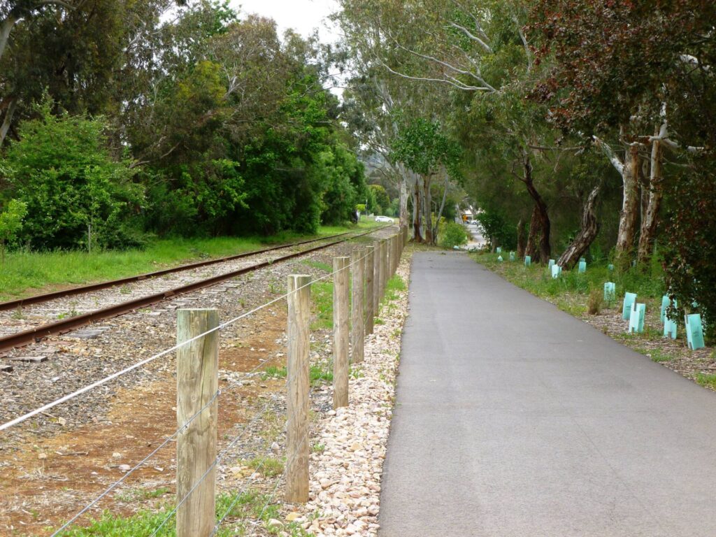
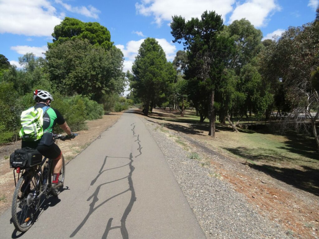
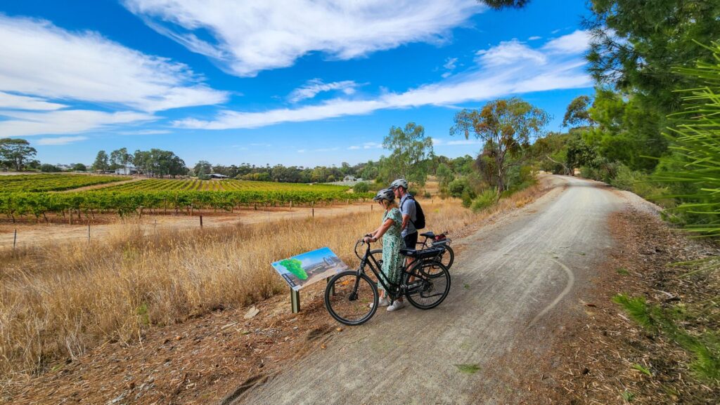
- A flat 23.5km ride on quiet roads and paths, adjacent to an existing railway line
- Suitable for all the family
Nearby Attractions
- Three quality Museums in one street – National Railway Museum, SA Aviation Museum and SA Maritime Museum
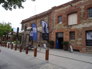
- Port Dock historic precinct
- Access to the Coast Park and beach facilities
- Anna Rennie (Inner Harbour) Loop Trail
Last updated: 15 April 2024
The trail is divided into three sections commencing from the Adelaide Parklands and following the existing rail corridor to the Port Dock precinct and then on to the Outer Harbour. The Outer Harbour Railway Line was constructed in 1856 to transport passengers and freight between Adelaide and the Outer Harbour / Port Dock sea ports.
Section Guides
Adelaide Parklands to Woodville Railway Station (8 km)
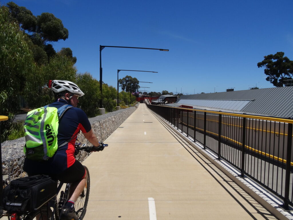
The trail commences on the cycle track near the Morphett Street Bridge and follows the River Torrens and the rail line westward past the Torrens Weir and then under the railway line into Bonython Park. Follow the river to the first bridge and cross it and continue to the edge of the Park Lands where the path turns right and crosses the railway line again and follows the line under the roadway. From this point onward the trail is clearly marked and progresses through the new Bowden / Brompton housing development and utilises bridges to cross main roads.
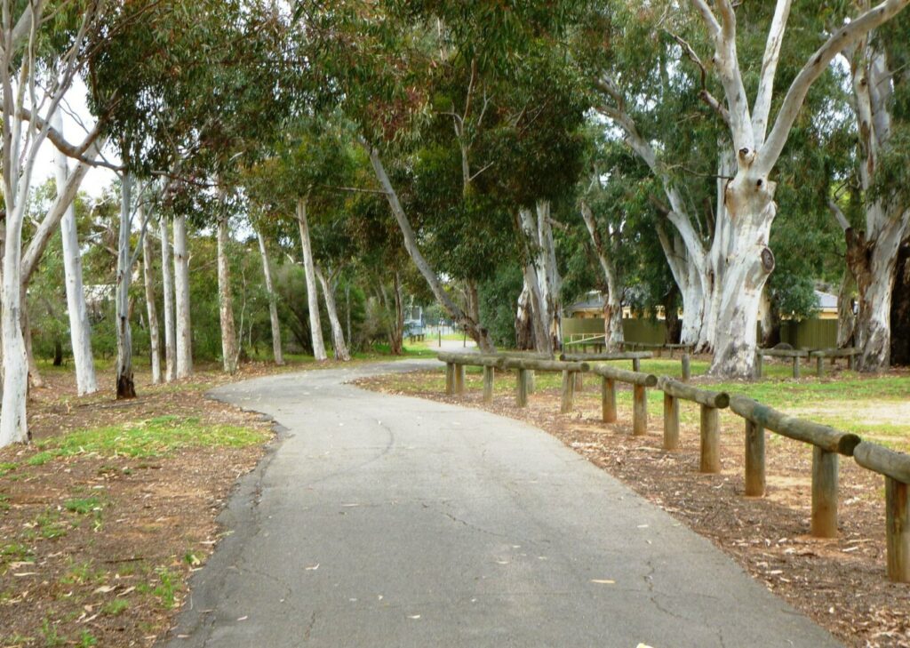
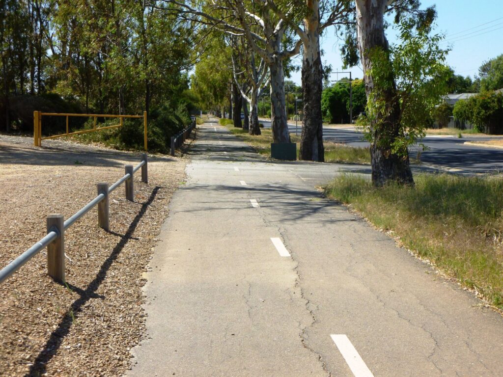
The trail follows the quiet suburban streets adjacent to the railway line through to the Woodville Railway Station. If you need a rest, stop at the MJ McInerney Reserve.
Woodville Railway Station to Port Dock Precinct (6 km)
At the Woodville Railway Station continue straight on. There is a path on the opposite side of the railway line that follows the branch line toward the suburb of Grange. This path is still in development but will soon form a rail side trail.
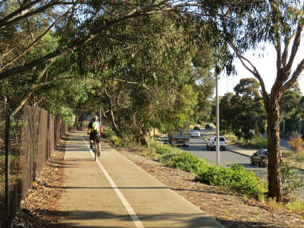
The trail continues on either quiet streets or shared use paths however there are several points where the trail crosses main roads. Fortunately, the crossing points are controlled by traffic lights.
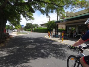
The path passes under Grand Junction Road, winds through suburban streets until it enters the old Port Dock rail yards. At this point you will see the Aviation Museum, then, in Lipson Street, you will pass the Railway Museum and once you cross St Vincent Street you will see the Maritime Museum on the right. All the Museums are excellent for children and can take some time to visit.
Please note that Lipson Street is one way so the return trip uses Timpson Street – please check the Rail Trails Map.
You are now in the Port Dock Precinct and you will come to the Port River at the end of Lipson Street. You may notice some interesting paving along the wharf area which indicates where some of the old railway lines were located. This area had numerous train, tram and trolly bus tracks, along wharfs, down streets and over bridges. There is an interesting shared use 3.5km trail (the Anna Rennie Loop Trail) that circles the Port Dock area. Further details are available in the Side Trails section below.
Port Dock Precinct to Outer Harbour (9.5 km)
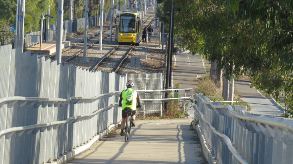
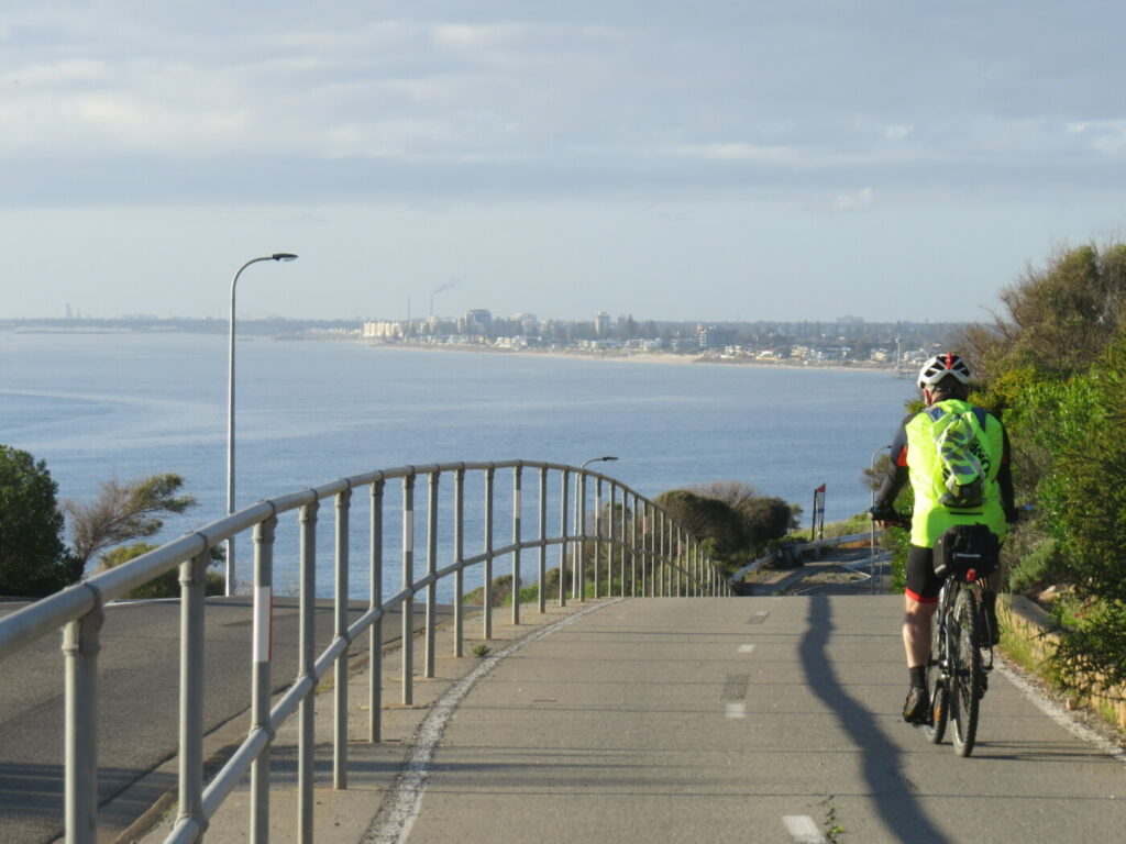
The trail uses the Birkenhead Bridge to cross the Port River and then crosses Semaphore Road and follows the existing rail line along Mead Street and then weaves its way through suburbia until finally crossing the rail line into Lady Ruthven Drive. The trail crosses Lady Ruthven Drive and then continues on a short distance to a large roundabout. Follow the shared use path to the left until you get to Lady Ruthven Reserve and the Outer Harbour Lookout. This is the end of the rail trail however there is a great option for the return trip by following the Coast Park shared use trail south along the coast to Semaphore and then returning to Port Dock via the Semaphore Rail Trail.
Side Routes
Anna Rennie Loop Path – previously known as the Inner Harbour Loop rail trail (3.5km loop)
Please note that the Anna Rennie Loop Trail overlaps the Outer Harbour Rail Trail where it crosses the Port River (Birkenhead Bridge) and follows Jenkins Street and a small section of Semaphore Road.
The Loop trail circles the Port Dock precinct, also known as the New Port which replaced the Old Port dock which was further upstream in the Port River and was basically a mosquito infested, smelly swamp. It was so despised by the colonists that it was called Port Misery. The New Port on the other hand was well constructed on reclaimed land with modern timber wharfs and bridges. The loop circles the Port River and provides cyclists and walkers with convenient and safe path. The trail has many interactive maps that allow the viewer to superimpose historical photographs from a century ago over todays view of the Port. Also of interest, is Hart’s Mill Playground, a convenient place to rest while the kids burn-off some energy. Further details and maps can be found in the Information and Links section below
Coast Park Trail
A 28km trail which follows the coast from Outer Harbour to Seacliff, south of Adelaide. Please note that a 5km section of the trail currently follows Military Road from Third Avenue Semaphore Park to the Grange Jetty. This 5km section is expected to be converted into a shared use path along the coast over the next few years. The Coast Park also connects with the Mike Turtur Rail Trail and the River Torrens Linear Park. Further information is available from the TrailsSA – see the link below.
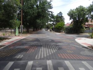
distinctive paving - Day St West Croydon
trail passes over Rosetta St at the West Croydon railway station
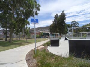
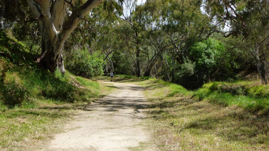
trail passes through McInerney Reserve
Bellmore Tce Woodville
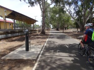
bike repair station adjacent to the Woodville Station
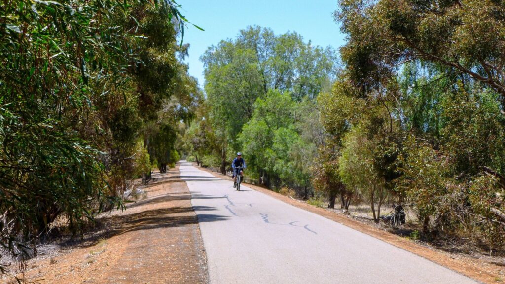
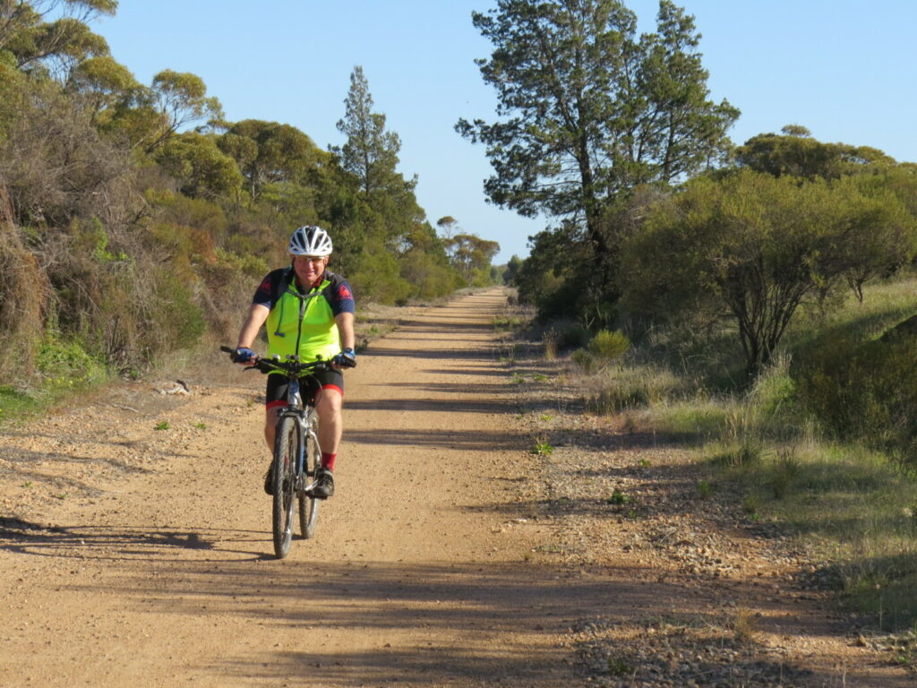
The trail follows quiet streets adjacent to the railway
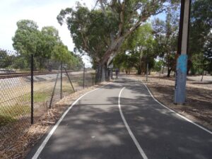
trail adjacent to the railway through St Clair
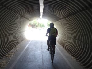
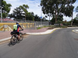
Grand Junction Rd underpass
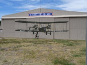
Aviation Museum, Lipson St Port Adelaide
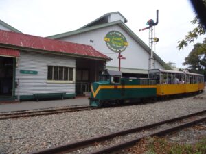
Railway Museum, Lipson St Port Adelaide
Maritime Museum, Lipson St Port Adelaide
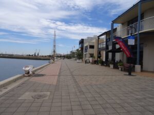
Port Dock paving shows the old rail lines
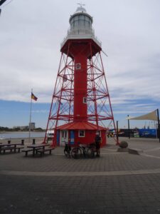
the 1869 Port River Lighthouse
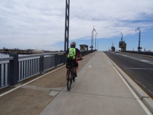
crossing Birkenhead Bridge over the Port River
Do you know of a bike hire or transportation service on this rail trail that should appear here? If so, let us know at admin@railtrails.org.au.
Information and Links
See Services tab above for links to services and businesses along this trail
For further information go to:
- Outer Harbour Greenway
- Map of the City of Adelaide Parklands Cycle Paths
- SA Maritime Museum
- National Railway Museum
- SA Aviation Museum
- Anna Rennie Loop Trail Inner Harbour Loop Trail map
- Anna Rennie information Anna Rennie
- Coast Park Trail
The trail is managed by
The City of Adelaide – City to edge of the Parklands (Park Terrace, Bowden)
The City of Charles Sturt – Park Terrace Bowden to Durham Terrace, Cheltenham
The City of Port Adelaide Enfield – Durham Terrace, Cheltenham to Outer Harbour
To report any issues or problems please contact
The City of Adelaide – 8230 7203
The City of Charles Sturt – 8405 6600
The City of Port Adelaide Enfield – 8408 1111
Contact Rail Trails Australia
To contact us about this rail trail, email sa@railtrails.org.au
Background Information
Traditional owners
We acknowledge the Kaurna people, the traditional custodians of the land and waterways on which the rail trail is built.
Development and future of the rail trail
The Rosewater Loop is a potential Rail trail of 5km in length that would connect the Outer Harbour Rail Trail with the Port River Bikeway via Eastern Parade. The loop was constructed in 1915 to alleviate congestion in the Port Dock rail yards and is no longer in use.
Rail line history
The Railway between Adelaide and the Port Dock Railway Station was opened in 1856 and was the second railway in South Australia and is believed to be the first Government owned railway in the British Empire. The rail line was later extended to Outer Harbour when a deeper sea port was required.
The Port Dock area was incredibly busy, bringing immigrants and produce in from abroad and exporting copper and farm produce to the world. All of this movement needed an efficient transport system. Port Road which runs parallel to the existing rail way line has an extraordinary width of more that 60m and is relatively flat and it was proposed by Colonel William Light in 1836 that a canal should be constructed between Adelaide and the Port Dock precinct. The proposal was romantic but did not measure up against the cost effective and efficient new rail technology that was emerging.
The Port Dock area became a maze of small rail lines, mostly privately owned and connected to the Wharf area and smelters. There were horse drawn trams, trains and trolly buses, steam trains and electric trams. Confusion reigned as no one knew who had right of way and no one cared because the private transport operators had to make money to survive. Eventually the port activity declined, the small private transport operators closed down and the State Government railway and bus services were all that remained.
Port Dock Railway Line extension is well underway
Posted: 14/04/24
The Adelaide to Port Dock railway line was constructed in 1856 to service the passenger and ...
More...Planned re-establishment of the rail line to the Port Dock precinct
Posted: 22/07/23
The Adelaide to Port Dock railway line was constructed in 1856 to service the passenger and ...
More...Rosewater Rail Loop to be redeveloped as a rail trail
Posted: 21/11/21
Gillman Rail Yards The Rosewater Rail Loop in ...
More...Nearby Trails
Stockade Rail Trail
Pooraka, 11km north of Adelaide
2.6 km


Parafield Rail Trail
15km north of Adelaide
3 km


Westside Bike Path
2km West of Adelaide.
9 km
Coast Park Rail Trail
12 Km west of Adelaide CBD
34 km
Mike Turtur Bikeway
Between Adelaide city and Glenelg
9 km
Penfield Rail Trail
Northern suburb of Adelaide
7 km
Marino Rocks Rail Trail
Marino Rocks
16 km
Smithfield Magazine Rail Trail
Smithfield Plains, 33kms north of Adelaide
3.5 km
Coast to Vines Rail Trail
Southern Adelaide Suburbs
37 km

Adelaide Hills Amy Gillett Rail Trail
Mount Lofty ranges, 49km east of Adelaide
16 km
Mount Barker Rail Trail
33km southeast of Adelaide
5 km
Barossa Rail Trail
Barossa Valley - between Gawler and Angaston
43 km
Kapunda Rail Trail
78km north of Adelaide
1 km
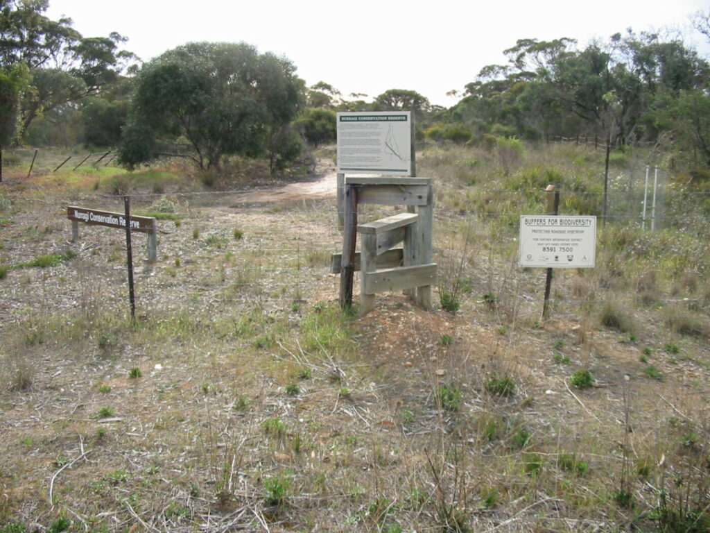
Nurragi Conservation Reserve
Milang approx 70km south east of Adelaide
12 km
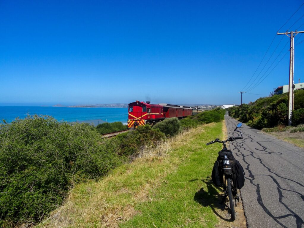
Encounter Bikeway
Between Goolwa and Victor Harbour on the Fleurieu Peninsula 90km south of Adelaide
28 km
Eudunda Rail Trail
112km north of Adelaide
1 km
Copper Rail Trail
100km north of Adelaide
26 km
Riesling and Rattler Rail Trail
130km north of Adelaide
53 km
Shamus Liptrot Rail Trail
100km north of Adelaide
11 km

Nearby Trails
Stockade Rail Trail
Pooraka, 11km north of Adelaide
2.6 km
Parafield Rail Trail
15km north of Adelaide
3 km
Westside Bike Path
2km West of Adelaide.
9 km
Coast Park Rail Trail
12 Km west of Adelaide CBD
34 km
Mike Turtur Bikeway
Between Adelaide city and Glenelg
9 km
Penfield Rail Trail
Northern suburb of Adelaide
7 km
Marino Rocks Rail Trail
Marino Rocks
16 km
Smithfield Magazine Rail Trail
Smithfield Plains, 33kms north of Adelaide
3.5 km
Coast to Vines Rail Trail
Southern Adelaide Suburbs
37 km
Adelaide Hills Amy Gillett Rail Trail
Mount Lofty ranges, 49km east of Adelaide
16 km
Mount Barker Rail Trail
33km southeast of Adelaide
5 km
Barossa Rail Trail
Barossa Valley - between Gawler and Angaston
43 km
Kapunda Rail Trail
78km north of Adelaide
1 km
Nurragi Conservation Reserve
Milang approx 70km south east of Adelaide
12 km
Encounter Bikeway
Between Goolwa and Victor Harbour on the Fleurieu Peninsula 90km south of Adelaide
28 km
Eudunda Rail Trail
112km north of Adelaide
1 km
Copper Rail Trail
100km north of Adelaide
26 km
Riesling and Rattler Rail Trail
130km north of Adelaide
53 km
Shamus Liptrot Rail Trail
100km north of Adelaide
11 km