Introduction
What are rail trails?
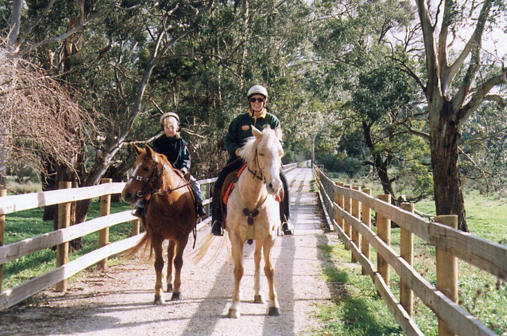
Rail trails are shared-use paths created in abandoned railway corridors. They can be used for walking, cycling and horse riding.
Where are they?
There are rail trails all over Australia and in many other countries. Rail trails link large and small communities and meander through scenic countryside just as railways did in the past.
What are they like?
Most trails have a gravel or dirt surface suitable for walking, mountain bikes and horses but there are also sealed and concreted trails that cater for touring bikes.
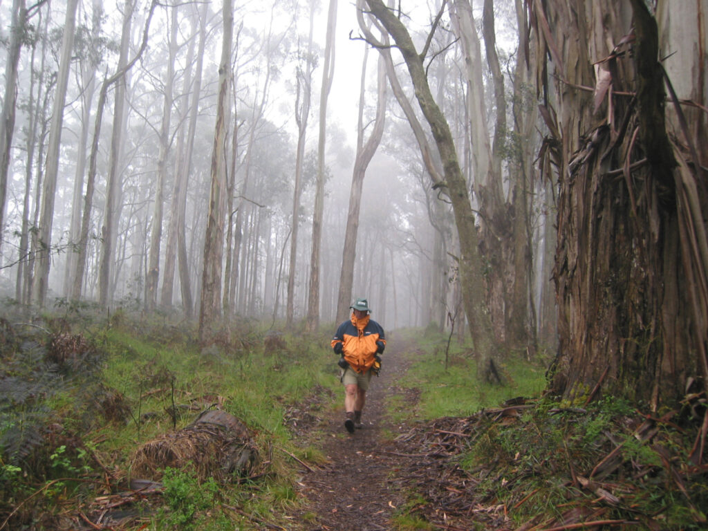
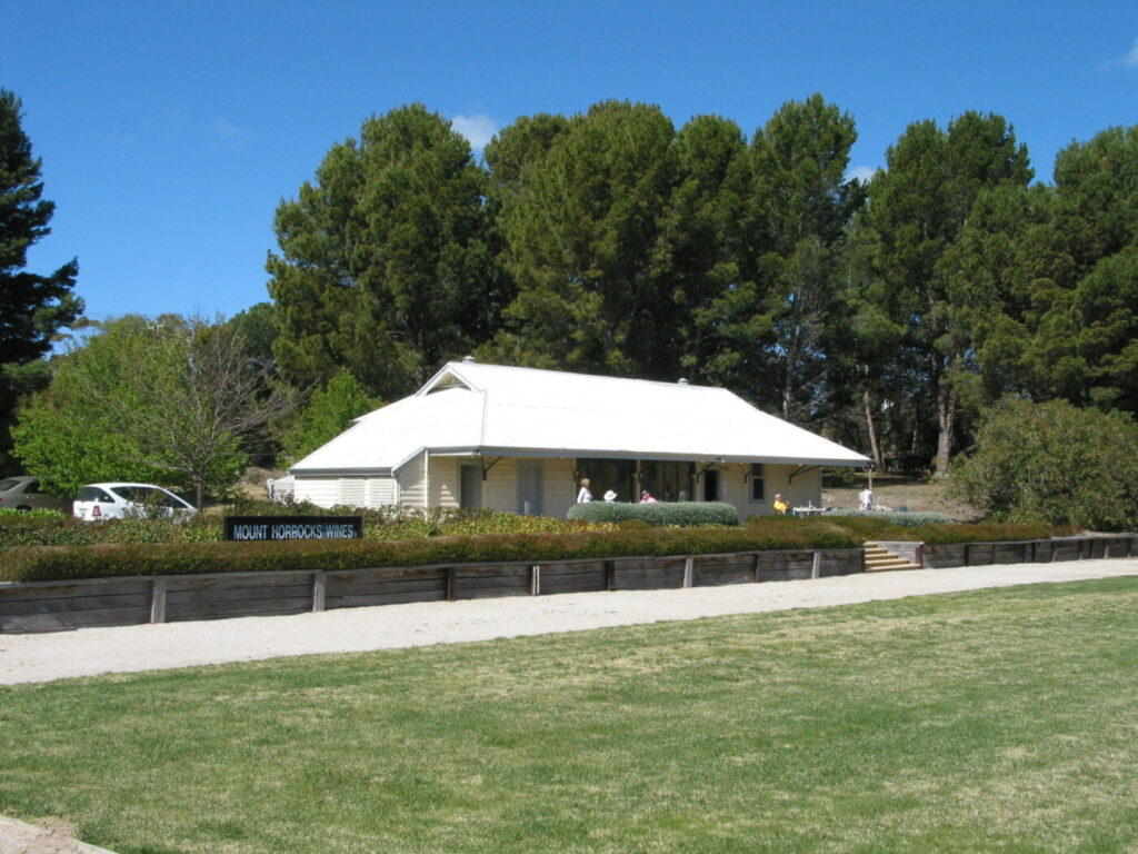
Following the route of the railways, they cut through hills, under roads, over embankments and across bridges over gullies, creeks and rivers. Apart from being great places to walk, cycle or horse ride, rail trails are linear conservation corridors protecting native plants and animals. They often link and protect remnant vegetation in farming areas and contain valuable flora and fauna habitat. Wineries and other attractions are near many trails as well as B&B’s and other accommodation.
Are the rails still there?
The tracks and sleepers are usually removed when a railway is closed, but remnants of the infrastructure remain, such as cuttings, embankments and bridges. Even an occasionally rusty rail spike.
Easy going
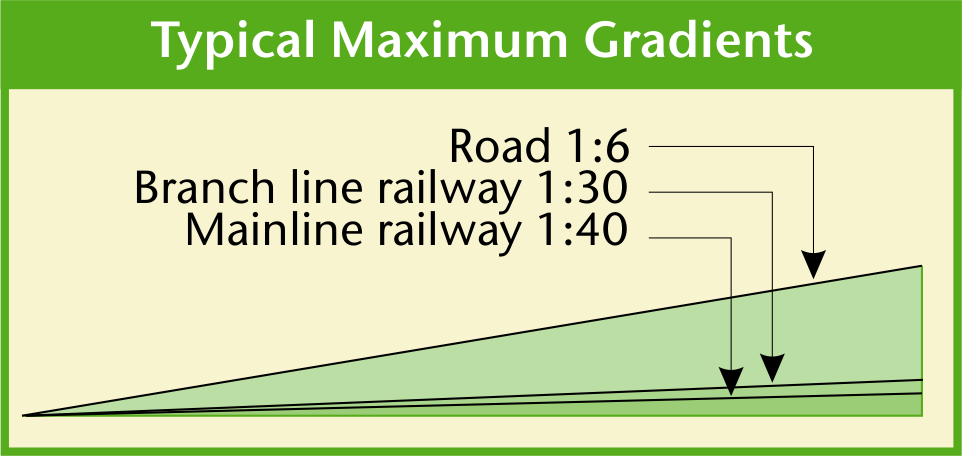
Every rail trail is different, but whether they are urban, rural or bush tracks, they all have one thing in common: gentle grades. Trains are not good at climbing hills, especially when it is wet. Railways avoid steep grades by contouring around hills, cutting through them and crossing valleys on bridges. Some gradient profiles on this website look steep but in reality they are never severe, except if the trail leaves the railway alignment. On most railways, the steepest grades were 1 in 40, meaning the line would rise 1m in every 40m.
On narrow gauge lines such as the Old Beechy in Victoria, the steepest grades were 1 in 30. Railway gradients are more gentle than most roads, which can be as steep as 1 in 6.
Our website descriptions provide gradient profiles which are great for trip planning, as you can pick the easiest (“downhill”) direction. Just walk or ride the trail one way and then return by public transport or organise a car shuffle. Some local tour operators provide return transport.
How it started
The conversion of railway reserves into public recreation spaces was just getting underway in America, in 1986, when our founding President, Mark Plummer, was living there, right near a rail trail. Later he visited the headquarters of the federally-funded Rails-to-Trails Conservancy in Washington and took things from there. He got some help in Victoria, where MP Graeme Stoney proposed a network of rail trails to the then state Environment Minister. The “Australian Rails to Trails Society” was formed and soon had 400 members pushing for development.
The society’s first magazine came out in 1994 at the grand price of $1, with articles on the walking trail along the Old Beechy line, plans to retain the Timboon rail corridor (now linked to the Twelve Apostles Trail in Victoria) and the formation of the Friends of the Warburton Trail. The 37km Lilydale to Warburton Rail Trail officially opened in 1996 but the Riesling Trail in SA was already operational by 1994 and the first official rail trail ride conducted in Qld from Linville to Blackbutt in 1995.
The ARTTS became Rail Trails Australia but, unlike its American counterpart, remains a largely volunteer-driven organisation, with membership now over 1000 and a number of those members providing outstanding service to the group over many years. Fundraising efforts include merchandise and guidebooks, with the first of those being produced in 1999. The public face of the organisation is now, predominantly, this website but there are regional representatives all over the country monitoring and supporting the trails.


