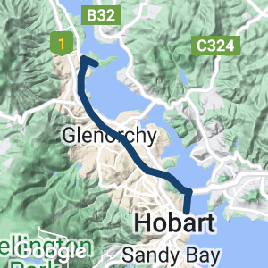
This is the best (and safest) way to get into Hobart city from the North or the East of Tasmania. The Hobart Intercity Cycleway runs all the way from Claremont in the North and almost to the CBD. It is a wide concrete path that runs through a bunch of suburbs with plenty of shopping centres, coffee shops and supermarkets nearby. There are a number of road crossings that can be busy during peak hours but otherwise are quite easy to cross with caution.
Coming from the North end of the city, the path runs close to the Cadbury chocolate factory in Claremont (please note that Cadburys no longer have a visitor centre or offer tours); The Tasmanian Transport Museum; the famous (and brilliant) Mona gallery; a local ice cream parlour; garden centre; Cornelian Bay playground (and public toilets); Tasmanian Botanical Gardens; under the Tasman Bridge; and finishing at the Regatta Grounds and Cenotaph.
It is a much loved path and many Hobart workers use the track every day to commute into work. On the weekends there are stacks of kids on bikes, parents with strollers and early morning road bike pelotons.
Nearby Attractions
- MONA Museum of old and new art
- Cadbury Factory at Claremont
- Tasmanian Transport Museum
- Many Heritage buildings
- Hobart historic waterfront and Constitution Dock
- Cascade Brewery (on the foothills of the mountain )
Last updated: 6 December 2022
Access Points
From the Northern end, access is via Bilton Street, Claremont
At the Southern end, the Hobart Regatta Grounds are at the entry point.
There are also numerous entry points to the path along the route at the various cross-roads.
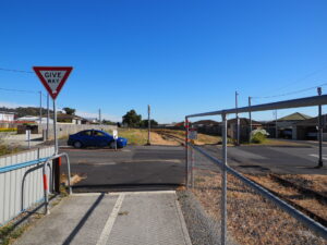
The Northern end of the Cycleway. 2022
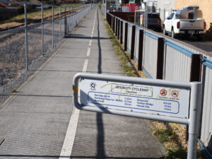
Information sign at the beginning of the cycleway. Just 2.5k to Mona. 2022
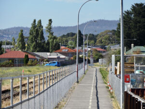
Looking to the first road crossing from the Northern end (heading South) 2022
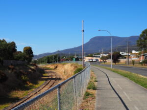
The cycleway runs parallel to the old railway line. Note the view of Kunanyi (Mt Wellington). 2022
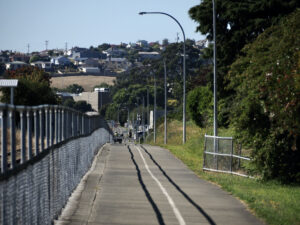
Heading towards the Glenorchy Shopping Centre. 2022
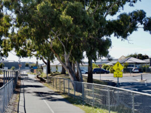
Heading towards a busy crossing. 2022
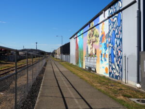
There are several walls of professional art along the path 2022
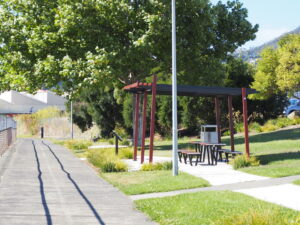
A park to rest after gorging on the local ice cream shop you just passed. 2022
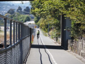
One of the few downhill sections where you can build up real speed 2022
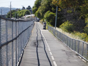
One short section has been suffering from subsidence. Caution required if travelling at speed. 2022
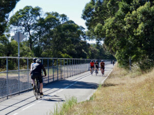
It can get busy on the weekends 2022
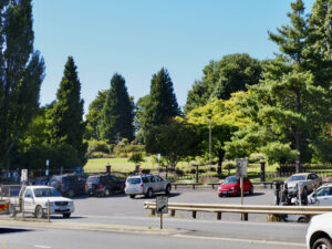
The lower entry to the Botanical Gardens is just across the road from the Cycleway. 2022
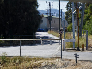
There is a short section of the path that is shared with slow traffic 2022
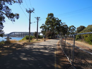
View of the Tasman Bridge 2022
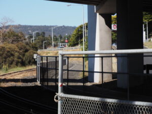
About the go under the Tasman Bridge 2022
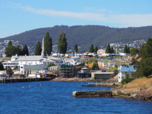
Views can be spectacular 2022
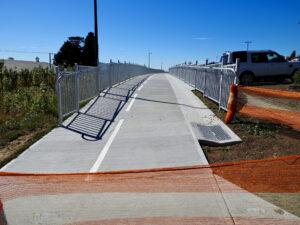
The newest crispy fresh part of the Cycleway 2022
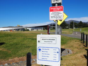
Information sign at the Southern end of the cycleway. You are now very close to the CBD 2022
Unfortunately at this stage Metro Tasmania bikes do not carry bikes in Hobart.
Do you know of a bike hire or transportation service on this rail trail that should appear here? If so, let us know at admin@railtrails.org.au.
Information and Links
The Glenorchy and Hobart city councils maintain the length of the path with regular (in some many places daily) sweeping and clearing of litter and vegetation.
City of Hobart Link here: https://www.hobartcity.com.au/Community/Parks-reserves-and-sporting-facilities/Find-a-park-or-sportsground/Intercity-Cycleway
Maps here: Cycling South and map
To advertise your rail trail support business on this page, please click here
To contact us about this trail, email or click here tas@railtrails.org.au
Contact Rail Trails Australia
To contact us about this rail trail, email tas@railtrails.org.au
Background Information
Traditional Owners
We acknowledge the Mouheneener people, the traditional custodians of the land and waterways on which the rail trail is built.
Development and future of the trail
Recently (February 2022) the full concrete path of the cycleway was extended further towards the Regatta Ground grandstand. From there you can ride a short section of bitumen (shared with cars), and travel onto yet another short section of concrete path. This leads to a smooth dirt track and onto a (currently closed) bitumen road that leads to a cycleway towards the Hobart docks. The alternative path that runs over the Cenotaph hill and tracks next to the Brooker Highway is more direct but noisier.
Plans for more permanent extension of the Cycleway through the new Macquarie Point Development are included in long term plans for the precinct.
At the other (Northern) end of the Cycleway in Claremont, the council plans to extend the cycleway into Austin’s Ferry (further North) and has been negotiating with several stakeholders to form a corridor along the disused single railway line.
Rail line history
The railway between Hobart and Launceston was built by the Tasmanian Main Line Railway Company and was officially opened on 1 November 1876. Because the TMLR had limited finances, the line was built to the narrow (1067 mm) gauge. In 1974, Hobart’s passenger service came to the end of the line, but freight haulage continued. These days, TasRail operates a freight service from Brighton in the south to Western Junction near Launceston.
From its inception the line was known as the Main Line and carried this title until around 1978 when Australian National renamed it the South Line. Despite being in use for over 125 years, only limited deviations have been built and the line follows the original alignment. Track standards have been improved by the use of heavier rail welded into long lengths, steel sleepers and better ballast.
The line remains in service, and sees multiple freight trains most days, these generally operating Burnie to Boyer and Burnie / Launceston to Hobart and return.
Nearby Trails
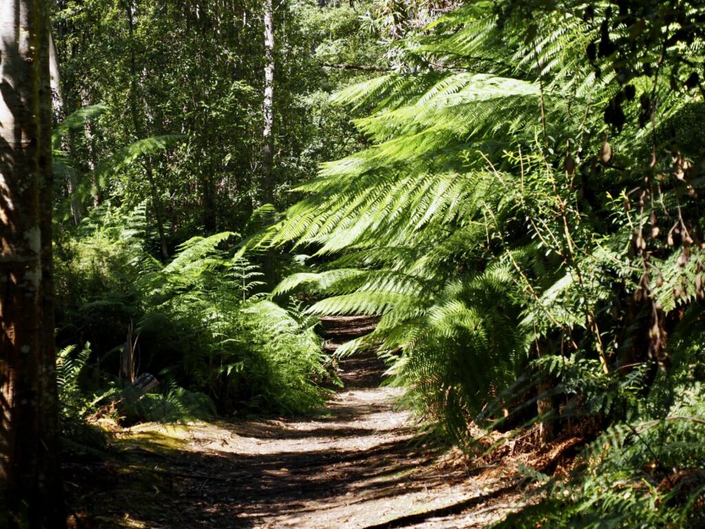
Kaoota Tramway Track
Kaoota, 28 km SW of Hobart.
6 km


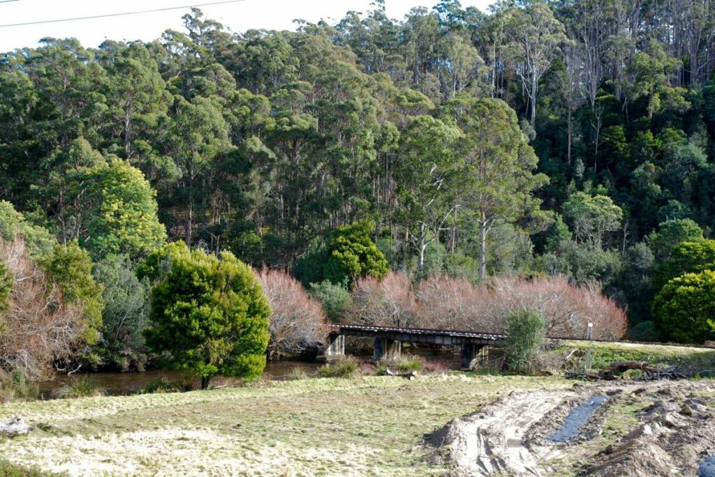
Derwent Valley Rail Trail
Derwent Valley, north east of Hobart.

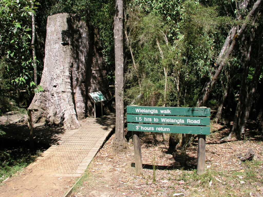
Wielangta Tramway Trail
65km North East of Hobart
6.5 km


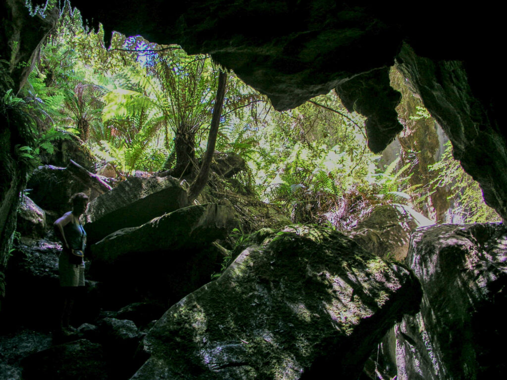
Mystery Creek Cave Trail
109km South of Hobart
2 km


