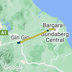
- This rail trail in central Queensland’s sugar growing region is partly open. It will total 49km when completed
- Walk, cycle or horse ride on the former rail corridor which once carried passenger and goods rail traffic from Mt Perry to Bundaberg.
- The trail provides scenic views over cane fields and rolling hills.
- Some short sections are already open.
Nearby Attractions
Bundaberg has many attractions and activities. Some of the more popular attractions are listed here.
- Bundaberg Rum visitor experience
- Bundaberg Railway museum
- Flying High bird sanctuary
- Hinkler hall of aviation
- Bundaberg Botanic Gardens
- Lake Monduran (Fred Haigh Dam)
- Historic Bundaberg CBD
Last updated: 21 November 2022
While there is a small replica at the start of the rail trail the council has also developed the Gin Gin Historical Village (former Gin Gin Railway Station). This site (Railway Station) is now Heritage listed and is used for Saturday Markets (BBQ, local produce and craft) and Australia Day Ceremonies as well as an annual Cane Cutting (Cane Harvest) event.
The Station site still has the original Station (Station Master ticket office / waiting area etc and devonshire teas can be arranged for bus tours). There is also a Goods building, original rail lines and other sheds, rolling stock (being restored) and a general museum and other items of interest.
This trail is on the same rail corridor as the heritage listed Boolboonda Tunnel.
Section Guides
A short 1km section of sealed pathway is open at Sharon
A 3.4km section is open at Gin Gin
- The Gin Gin access to the trail is a short walk from the commercial centre of town. Turn off the Bruce Highway at the Gin Gin Police Station into Walker Street, past the youth Centre and tennis facility, then right into Tirroan Road. Travel another 400 metres and you will see the replica Railway shelter, seating and signage which marks the commencement of the trail. Council acquired replica QR items to enhance the trail including seats and signage.
- The Tirroan entry to the trail is adjacent to the historic Tirroan Hotel (for essential refreshments) and has a Landcare Native Plant nursery and education facility nearby, which is under development.

Start of the trail at Gin Gin (2007)
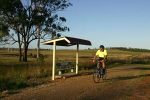
Tirroan (2007)
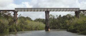
Splitters Creek Bridge near Bundaberg will be a major feature of the rail trail (Bundaberg Regional Council)
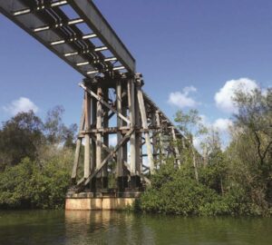
Splitters Creek Bridge near Bundaberg will be a major feature of the rail trail (Bundaberg Regional Council)
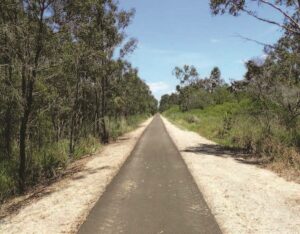
The existing rail trail at Sharon (Bundaberg Regional Council 2019)
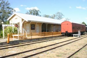
Gin Gin station area (2007)
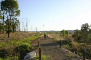
Gin Gin (2007)
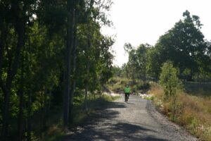
Gin Gin (2007)
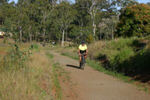
Gin Gin (2007)
Do you know of a bike hire or transportation service on this rail trail that should appear here? If so, let us know at admin@railtrails.org.au.
Information and Links
The Trail is maintained by Bundaberg Regional Council.
Please report any issues with the rail trail to the council.
Contact Rail Trails Australia
To contact us about this rail trail, email qld@railtrails.org.au
Background Information
Traditional Owners
We acknowledge the Gurang Gurang people, the traditional custodians of the land and waterways on which the rail trail is situated.
Development and future of the rail trail
Kolan Shire Council constructed the Recreation Trail in 2004, with support from Queensland Sport & Recreation, after Council purchased the former rail land from Queensland Rail.
The Queensland Government released its Queensland Cycling Action Plan in 2017 which committed to the investment of $14 million over four years to develop and implement a program to deliver rail trails in partnership with local governments on state-owned disused rail corridors. This funding provided an impetus to examine a range of railway corridors which may have the opportunity to be converted to rail trails. Bundaberg Regional Council commissioned Mike Halliburton Associates to prepare a Feasibility Study for a possible rail trail from Bundaberg to Gin Gin – utilising the now disused Mt Perry branch line railway corridor. The study was commissioned to ascertain whether it was a worthwhile project, and whether the rail trail would deliver the anticipated and desired benefits.
In January 2019, following consideration of the major issues pertaining to the development of a trail on the disused railway corridor between Bundaberg and Gin Gin and considering the views of key stakeholders, groups and individuals consulted (and background information obtained during the course of the project), the feasibility study recommended that the proposed rail trail proceed, subject to a number of conditions being met.
The recommended stages for the progressive development of the Bundaberg Gin Gin Rail Trail were stated as: Stage 1 – Bundaberg to Sharon (8.7km – includes bridge over Splitters Creek); Stage 2 – Sharon to South Kolan (Birthamba) (10.2km – includes existing Sharon Rail Trail); Stage 3 – South Kolan (Birthamba) to Bullyard (12.9km); Stage 4 – Bullyard to Gin Gin (13.8km).
In August 2020, the Queensland State Government and Bundaberg Regional Council announced they would each contribute $9.5 million to build the first half of the trail from Bundaberg to Koolboo Road via Sharon.
Railway history
The Mount Perry railway line opened from North Bundaberg to Moolboolaman in 1881. The Mount Perry railway (originally known as the Bundaberg Railway) was built by the Queensland Government to service the Mount Perry copper mines.
The line was extended to Gillen’s Siding opened in 1882, then on to Boolboonda in 1883, and lastly to Mount Perry in 1884. A feature of the last stage of the line was construction of the Boolboonda Tunnel. Excavated a distance of 192 metres through solid rock, the tunnel is the longest unsupported tunnel in the southern hemisphere
The line was closed back to Tirroan in 1960. It was closed back to Gin Gin in 1991 before being completely closed in 1993.
New rail trail for Bundaberg region
Posted: 21/08/20
The Queensland State Government and Bundaberg Council have announced a project that will deliver a ...
More...Nearby Trails
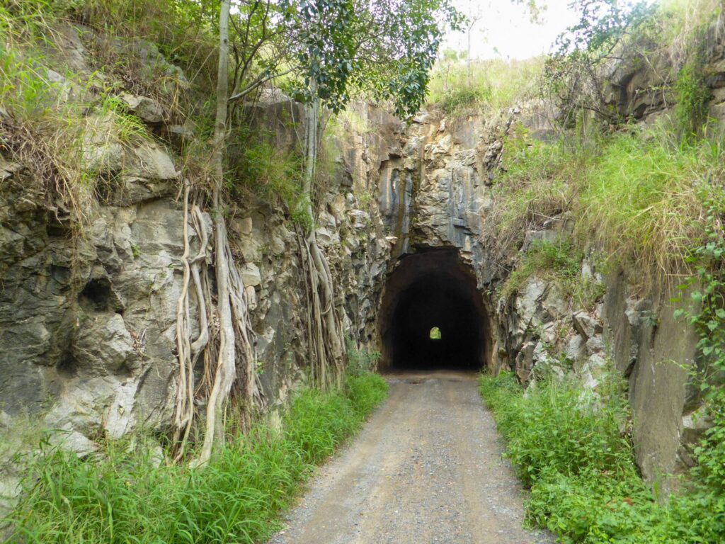
Boolboonda Tunnel Heritage Trail
Approximately 90km west of Bundaberg, 400km from Brisbane
3 km


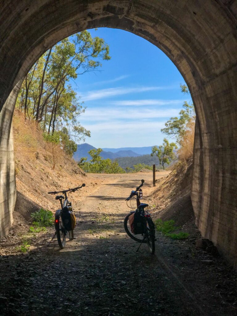
Boyne Burnett Inland Rail Trail
Boyne Valley, 480km north of Brisbane
69 km


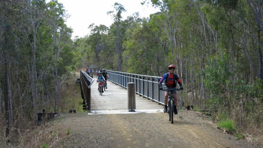
Mary to Bay Rail Trail (Fraser Coast)
288km north of Brisbane
32 km


