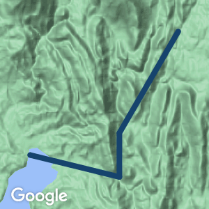
This great trail follows a historic former railway route through lovely rainforest inside the World Heritage Area.
Nearby Attractions
Kelly Basin and Pillinger are historic town sites on the shores of Macquarie Harbour.
Last updated: 6 December 2022
- This great trail follows a historic former railway route through lovely rainforest inside a World Heritage Area.
- Kelly Basin and Pillinger are historic town sites on the shores of Macquarie Harbour.
- A 5km section from the Bird River turnoff to Bird River is suitable for 4WD and bicycles.
- From Bird River the trail is for walking only.
- Allow a full day for the walk to Pillinger.
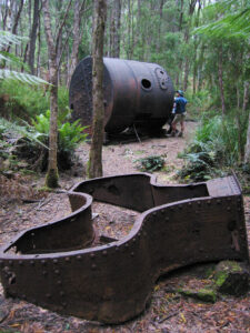
Remains at Kelly Basin
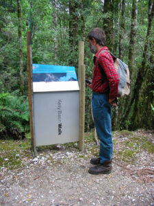
Start of the walk
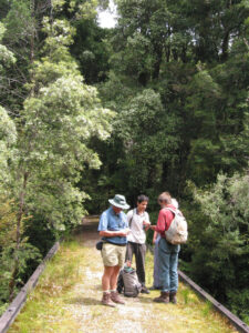
Start of the walk
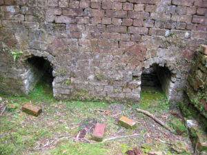
Remains at Kelly Basin
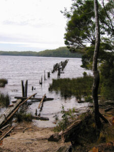
Kelly Basin
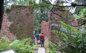
Remains at Kelly Basin
Do you know of a bike hire or transportation service on this rail trail that should appear here? If so, let us know at admin@railtrails.org.au.
Information and Links
To advertise your rail trail support business on this page, please click here
To contact us about this trail, email or click here tas@railtrails.org.au
Contact Rail Trails Australia
To contact us about this rail trail, email tas@railtrails.org.au
Background Information
Traditional Owners
We acknowledge the Toogee people, the traditional custodians of the land and waterways on which the rail trail is built.
Rail line history
The North Mount Lyell Railway was built to operate between the North Mount Lyell mine in West Coast Tasmania and Pillinger in the Kelly Basin of Macquarie Harbour.
It was built mainly to transport ore from Gormanston east of the West Coast Range to the Crotty smelters.
The line was also opened for passengers in December 1900. Stopping points were Gormanston junction, King River and Ten Mile. A small rail motor was utilised in the last years of operation.
Due to failure of the Crotty smelters and the North Mount Lyell operations in general, and the amalgamation of the Mount Lyell and North Mount Lyell mines and companies, the railway had a short operational life. It closed to passengers in July 1924 and closed in 1929.
The railway bridge at the King River, and the old rail formation were utilised right up to the damming of the River and the creation of Lake Burbury by the Hydro Electric Commission in the 1980s. The railway formation between the Linda Valley and the old locality of Darwin is now under water.
Nearby Trails
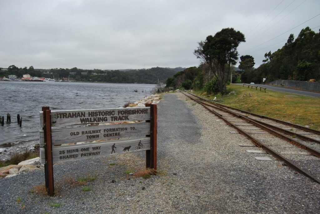
Strahan to Regatta Point Rail Trail
Strahan, 300km from Hobart
3 km


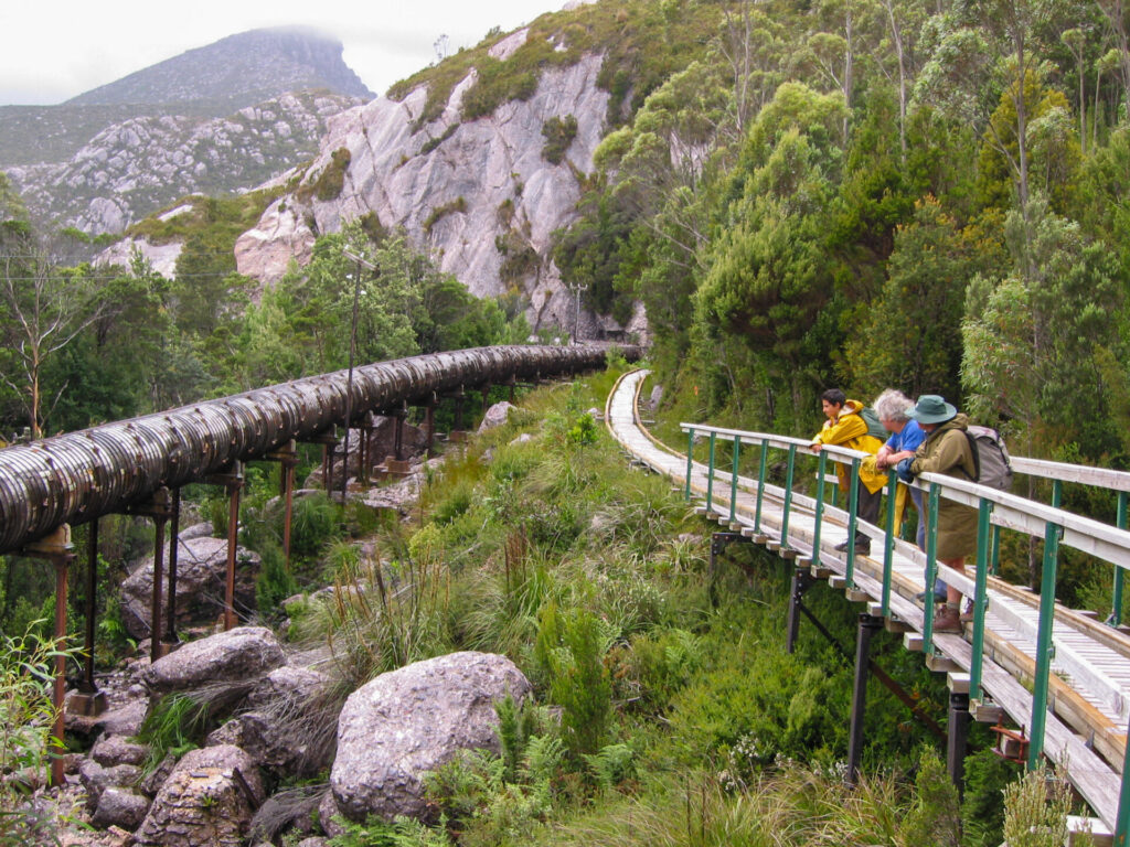
Lake Margaret Tramway Trail
Near Queenstown, 268km from Hobart
3.5 km

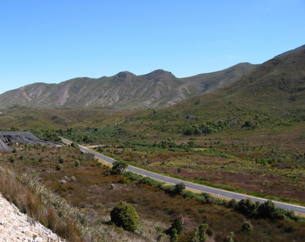
Strahan to Zeehan Road
Zeehan to Strahan, 296km from Hobart
41.8 km


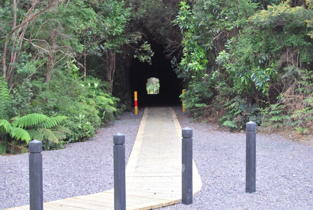
Spray Tunnel and Comstock Tramways
Zeehan Area, 296km from Hobart
6 km


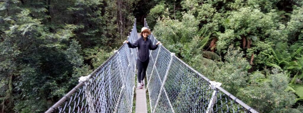
Montezuma Falls Rail Trail
Zeehan Area, 296km from Hobart
19 km


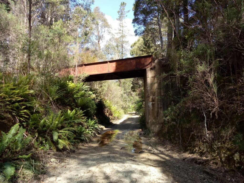
Melba Flats to Zeehan Rail Trail
Zeehan Area, 296km from Hobart
9 km


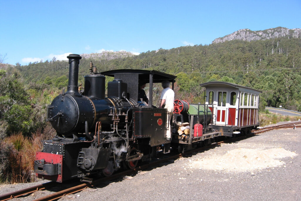
Wee Georgie Wood and the Tullah Tramway Trail
Tullah, 100km from Burnie, 310km from Hobart
1.5 km

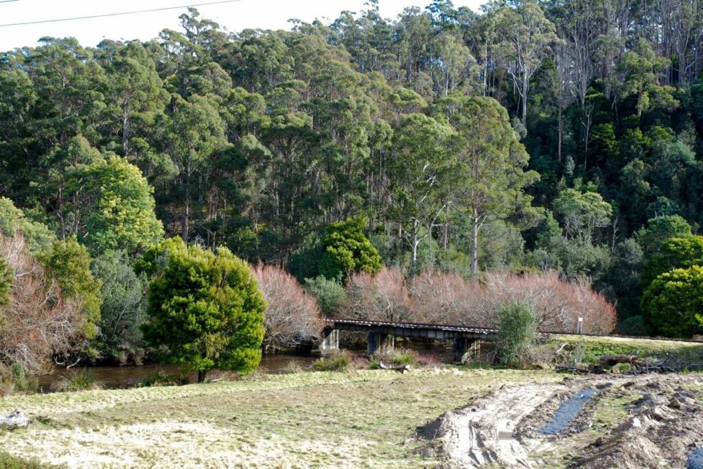
Derwent Valley Rail Trail
Derwent Valley, north east of Hobart.


One review of “North Mount Lyell Rail Trail”
I have not walked or ridden this trail but it was recommended by another traveler as a beautiful walk.