

This will be a 6km community rail trail directly connecting the fast growing suburbs of Westbrook and Wyreema, near Toowoomba. The trail passes through typical Eastern Darling Downs farmland.
It will also provide an opportunity for restoring a vegetation link between the two areas.
Last updated: 23 November 2022
![A large Camphor Laurel tree growing on the old siding identifies the site of the former Wyreema railway station (looking south towards Warwick). [2022]](https://www.railtrails.org.au/wp-content/uploads/2022/06/Q17-055-Wyreema-2022-06-13_142411-300x169.jpg)
A large Camphor Laurel tree growing on the old siding identifies the site of the former Wyreema railway station (looking south towards Warwick). [2022]
![Start of the possible rail trail at Wyreema looking towards Westbrook [2022]](https://www.railtrails.org.au/wp-content/uploads/2022/06/Q17-055-Wyreema-2022-06-13_142652-300x169.jpg)
Start of the possible rail trail at Wyreema looking towards Westbrook [2022]
![Looking towards Westbrook, plenty of potential for revegetation of the corridor [2022]](https://www.railtrails.org.au/wp-content/uploads/2022/06/Q17-055-Wyreema-to-Westbrook-2022-06-13_143622-300x169.jpg)
Looking towards Westbrook, plenty of potential for revegetation of the corridor [2022]
Do you know of a bike hire or transportation service on this rail trail that should appear here? If so, let us know at admin@railtrails.org.au.
Contact Rail Trails Australia
To contact us about this rail trail, email qld@railtrails.org.au
Background Information
Traditional Owners
We acknowledge the Giabal people, the traditional custodians of the land and waterways on which the rail trail is built.
Development Background
The rail trail is supported by the Toowoomba Regional Council which is applying for funding to construct the trail in the near future.
The conclusion of the Feasibility Study conducted in May 2021, determined that a rail trail on the 5.5km disused rail corridor between Westbrook and Wyreema is technically feasible and a worthwhile project. The report found that the limited number of issues raised during consultation (fencing required on both sides and two, mostly dry, water crossings) can be overcome with good design and at a relatively low cost. The corridor remains in public ownership and links the rapidly growing Toowoomba western communities of Westbrook and Wyreema.
In 2017 TRC identified Westbrook as Toowoomba’s next major growth area which will hold a population of 30 000 people by 2050. New schools have been planned and approved. The proposed rail trail is a critical off-road link, primarily for recreation though it may have some active transport value as Westbrook develops (for school children and workers). Providing a safe off-road route for residents and those looking to travel further afield was seen by the Consultants as a major positive outcome. No such route is provided at the present time in the two centres. Critically, this section provides a missing safe north-south link as the nearby road option (Toowoomba Karara Rd) is very unsafe for cycling.
A rail trail would add yet another outdoor recreation activity for cyclists and walkers, joggers, trail runners, people in wheelchairs, people in mobility scooters (gophers), parents pushing prams, school groups, clubs and families. The corridor would also provide a revegetation opportunity by establishing a ‘green’ corridor linking the two growth centres providing shade with tree species endemic to the area and which are now largely missing due to long term agricultural practices.
Toowoomba Regional Council, in accepting the recommendations of the Report, has indicated a preparedness to budget for the construction of the trail.
(The trail will cost in the order of $1.472 million to construct. Major cost contributors are trail surfacing (a sealed trail surface is proposed at $467,500), 2 new bridges (with a total span of 65 metres) at $390,000, and allowance for double fencing to provide separation between trail users and adjoining cropping land at $138,000. )
Railway History
The original railway from Brisbane to Sydney branched off the main western line at Gowrie Junction and headed through Westbrook to Wyreema then onto Warwick and NSW’s New England region. It opened way back in 1869.
However in 1915 a more direct line from Toowoomba to Wyreema was opened and the Gowrie Junction to Wyreema line eventually closed in 1959. The railway from Toowoomba to Wyreema and Warwick is still in use for freight.
Nearby Trails
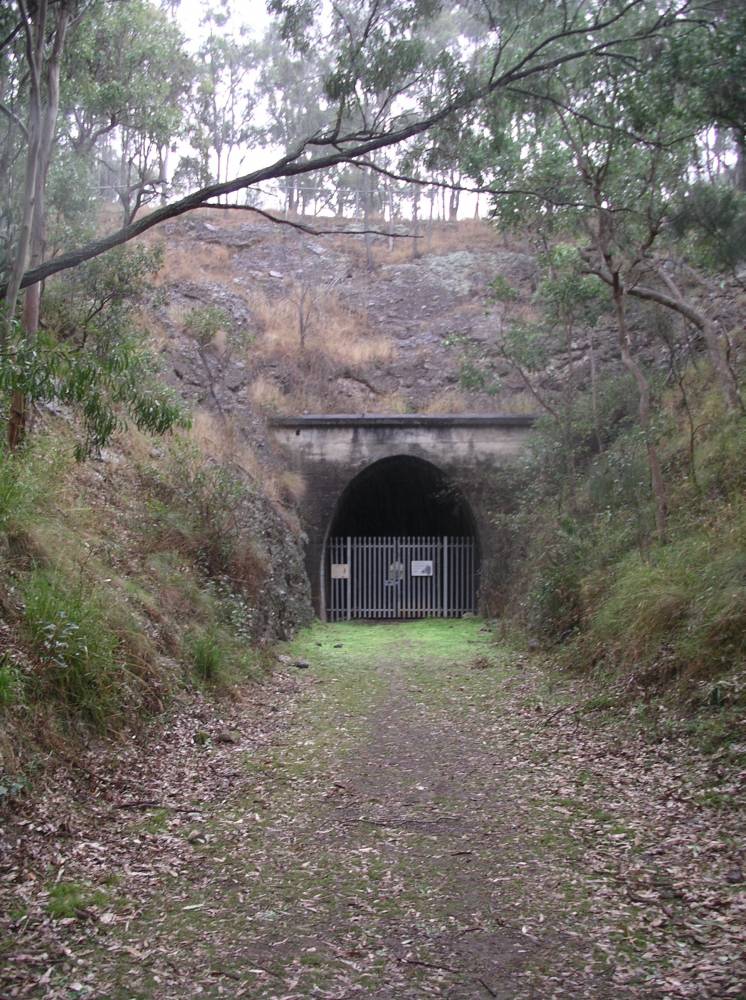
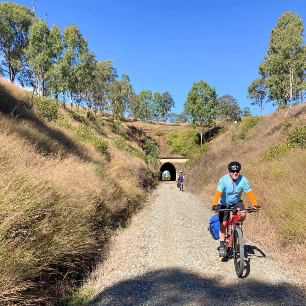
Muntapa Tunnel
15km south of Cooyar, north of Toowoomba, 210km from Brisbane
0.6 km

Brisbane Valley Rail Trail
Wulkuraka is 46 km southwest of Brisbane
161 km


Wulkuraka – Brassall Rail Trail
41 km west of Brisbane.
3 km


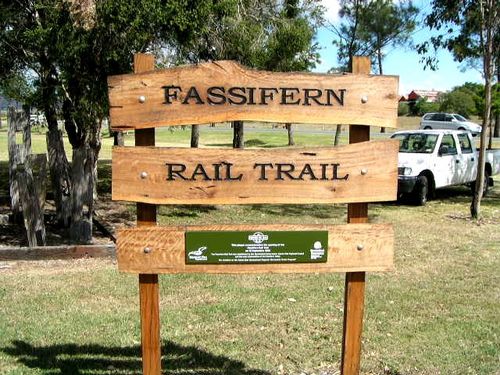
Fassifern Rail Trail
Boonah South East of Brisbane
6 km
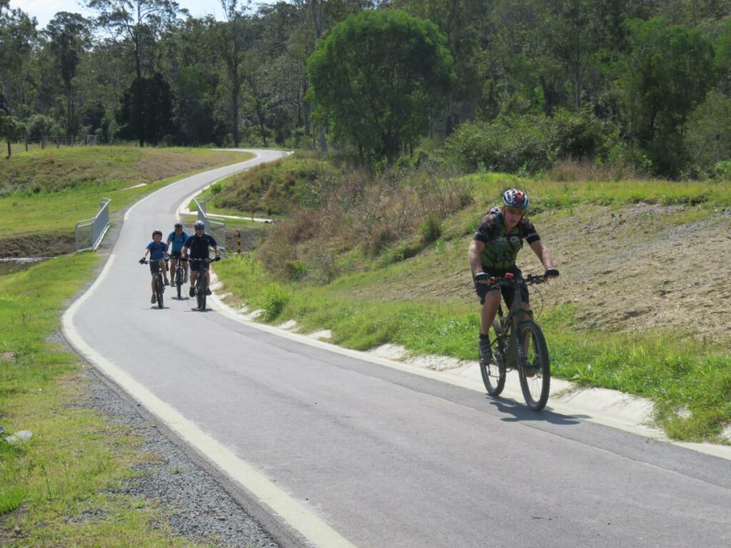
Ferny Grove Rail Trail
Samford Valley, north west of Brisbane, 16km from Brisbane
5 km
Nearby Trails
Muntapa Tunnel
15km south of Cooyar, north of Toowoomba, 210km from Brisbane
0.6 km
Brisbane Valley Rail Trail
Wulkuraka is 46 km southwest of Brisbane
161 km
Wulkuraka – Brassall Rail Trail
41 km west of Brisbane.
3 km
Fassifern Rail Trail
Boonah South East of Brisbane
6 km
Ferny Grove Rail Trail
Samford Valley, north west of Brisbane, 16km from Brisbane
5 km
