
- A high standard rail trail in the major population centre of Ipswich
- Great history connections with the first rail line in Queensland, a coke mine, the Rail Workshop Museum and the Smith Street bike route to Ipswich.
Nearby Attractions
- Ipswich is a major regional city in Queensland, with easy access from Brisbane by train and many tourist experiences on offer
- This trail is one of a number of rail trails in the south-eastern part of Queensland
- Wulkuraka is also the south-eastern starting point for the Brisbane Valley Rail Trail
Last updated: 20 November 2022
- The trail starts at Grace St, Wulkuraka. Grace St connects with Wulkuraka railway station.
- The path generally follows the route of the old railway line towards Brassall.
- At Vogel Road it goes on top of the old formation and heads north east towards the Brassall shopping centre (Workshops Street) then travels behind the shopping centre, then crosses Haig street.
- Mihi Junction is reached soon after crossing Haig St. There are picnic tables, which are under cover.
- Soon after the rest area, an 80m steel bridge spans Mihi Creek. This section of the trail is in bushland.
- After a short distance, you will come to the next rest stop (Klondyke Junction.) Here you will see the remains of the old coke mine that supplied the Queensland Railways.
- The current end of this trail is at W.M Hughes Street, North Ipswich at the Rail Workshop Museum.
- There are on road paths to North Ipswich shopping centre and the Bradfield Bridge across to Ipswich central and the railway station.
A lot of this trail has lighting and 24 hr camera surveillance and a 3.5m wide concrete surface.
![Start of the trail on Grace St Wulkuraka [2022]](https://www.railtrails.org.au/wp-content/uploads/2022/06/Q02-061-Wulkuraka-station-to-trail-head-2022-06-13_104932-300x169.jpg)
Start of the trail on Grace St Wulkuraka [2022]
![Riders enjoying the rail trail [2015]](https://www.railtrails.org.au/wp-content/uploads/2022/06/Q01-055-new-section-Brassall-rail-Trail-2015-2015-10-300x225.jpg)
Riders enjoying the rail trail [2015]
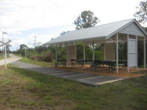
Mihi Junction picnic area (2010)
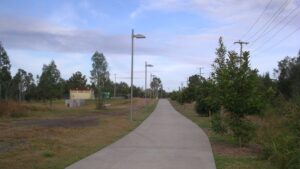
The trail near Brassall. (2010)
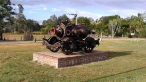
Sculpture beside the trail (2010)
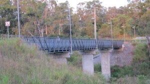
Mihi bridge (2012)
![Klondyke picnic area [2010]](https://www.railtrails.org.au/wp-content/uploads/2022/06/Q01-156-Klondyke-2010-07-2505_crop-300x170.jpg)
Klondyke picnic area [2010]
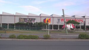
Ipswich Railway Workshops museum at the end of the trail (2010)
![The Bradfield Bridge from the North Ipswich shopping centre [2022]](https://www.railtrails.org.au/wp-content/uploads/2022/06/Q01-205-Bradfield-Bridge-2022-06-13_101956-300x169.jpg)
The Bradfield Bridge from the North Ipswich shopping centre [2022]
![The Bradfield Bridge across the Bremer River from the North Ipswich shopping centre [2022]](https://www.railtrails.org.au/wp-content/uploads/2022/06/Q01-205-Bradfield-Bridge-2022-06-13_102105-300x169.jpg)
The Bradfield Bridge across the Bremer River from the North Ipswich shopping centre [2022]
![The Bradfield Bridge looking towards Ipswich [2022]](https://www.railtrails.org.au/wp-content/uploads/2022/06/Q01-205-Bradfield-Bridge-2022-06-13_102309-300x169.jpg)
The Bradfield Bridge looking towards Ipswich [2022]
Do you know of a bike hire or transportation service on this rail trail that should appear here? If so, let us know at admin@railtrails.org.au.
Information and Links
The trail is managed by the Ipswich City Council
Please report any issues to the council.
For more information on the history of coal mining and coke production in Ipswich, see: https://www.ipswich.qld.gov.au/__data/assets/pdf_file/0019/9811/mining.pdf
Contact Rail Trails Australia
To contact us about this rail trail, email qld@railtrails.org.au
Background Information
Traditional Owners
We acknowledge the Yuggera people, the traditional custodians of the land and waterways on which the rail trail is situated.
Railway History
This is on the route of the first rail line in Queensland, from Ipswich to Wulkuraka on the west of Ipswich, which closed in 1868.
This came before the rail line from Ipswich to Brisbane in 1875. Ipswich was a prime candidate for becoming the capital of Queensland, but lost out to Brisbane in 1859. This is why the direction of the first rail line is this way.
The trail was built in 2008 and opened in 2009, with a proposed extension in the future further along the line which hugs the Bremer River towards the centre of Ipswich.
Wulkuraka to Brassall opens ( Brisbane Valley Rail Trail)
Posted: 06/09/16
The next stage of the Brisbane Valley Rail Trail opened on August 20 2016 in Ipswich This ...
More...Brassall Trail Extensions opened
Posted: 15/07/13
Stage two of the Brassall Rail Trail has opened toward Wulkuraka Railway Station. This section ...
More...Nearby Trails
Ferny Grove Rail Trail
Samford Valley, north west of Brisbane, 16km from Brisbane
5 km


Bethania to Beaudesert Rail Trail
South of Brisbane, 40km from Brisbane
3.5 km


Fassifern Rail Trail
Boonah South East of Brisbane
6 km


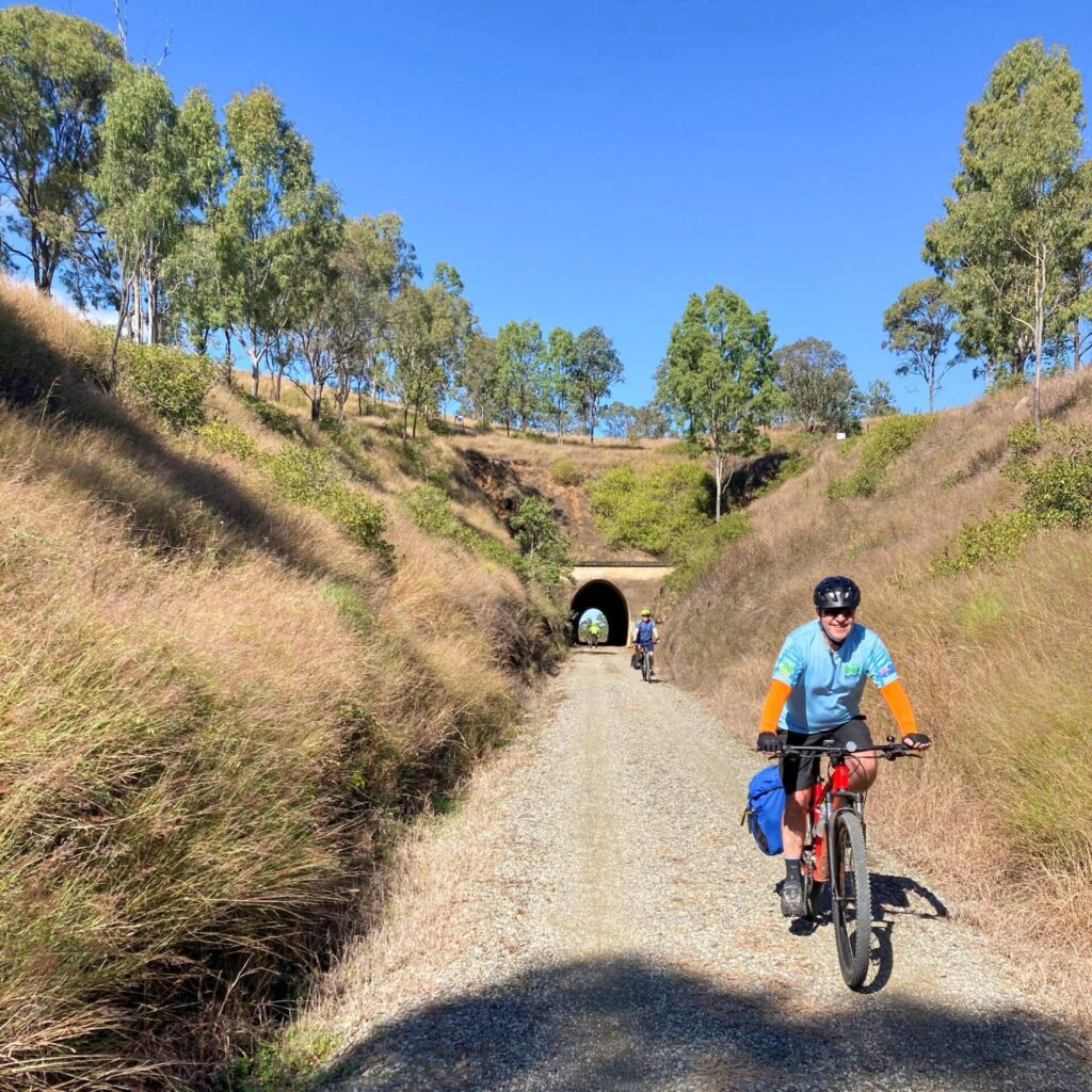
Brisbane Valley Rail Trail
Wulkuraka is 46km southwest of Brisbane
161 km


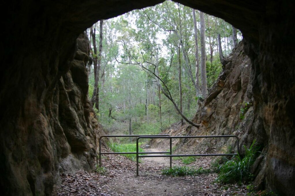
Canungra Tramway Tunnel
Canungra, south of Brisbane, 80km from Brisbane
1 km


Caboolture – Wamuran & Loop Rail Trail
Caboolture, 47km north of Brisbane
10.5 km


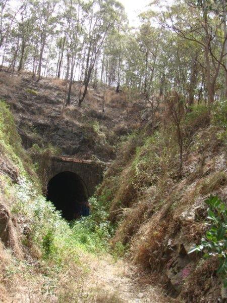
South Coast Rail Trail and Ernest Junction Tunnel
60 km from Brisbane
0.75 km

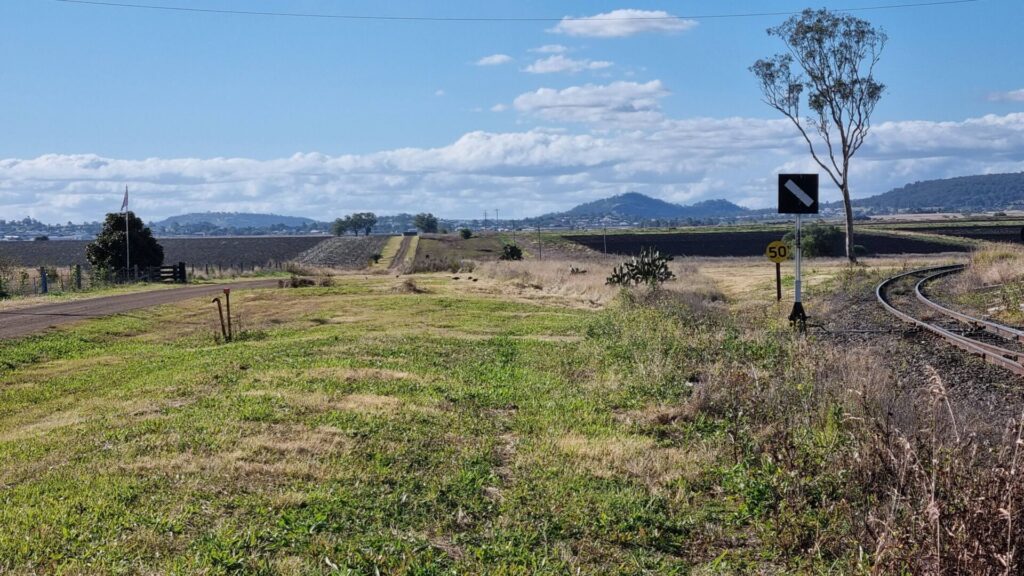
Westbrook to Wyreema Rail Trail
Toowoomba

Dularcha National Park Rail Trail
North of Brisbane, 77km from Brisbane
3.2 km


Buderim Tramway Heritage Trail
100 km north of Brisbane
2 km

Muntapa Tunnel
15km south of Cooyar, north of Toowoomba, 210km from Brisbane
0.6 km


One review of “Wulkuraka – Brassall Rail Trail”
This is a great little rail trail! For anyone that is interested in industrial history there is another ‘rail trail’ of sorts nearby that follows the old Tivoli Rail Line. There used to be a colliery on the other side of the Warrego Highway at Tivoli and a railway used to go through the suburbs from North Ipswich. It is marked on a 1960’s street directory I have and the route can be seen on Google Earth.
It roughly goes from the Rail Museum on North Street and goes up the lane opposite the carpark. It then crosses Pine Mountain Road, goes over Wyndham Street, then Liverpool Street, goes parallel to Frost Street, crosses Hill Street, Albert Street, Simmons Road ,Kay Street and onwards to Francis Street. It’s not an official ‘rail trail’ but the council has used the easement for a bike path and may appeal to history buffs