
 Location:
 Length:
 Surface:
 Start / End:
 Public Transport:
 Suitable for:
- The impressive sandstone viaduct over Knapsack Gully. When construction began in 1863 the viaduct was the largest in Australia, being 118 m long and 36 m high, with five spans of 16 m and two of 6 m.
- Remnants of zig-zag formation and Lucasville Station. The Lapstone Zig-Zag was the first full zig-zag constructed on any main-line railway anywhere in the world. The structure was later repeated on the western side of the Blue Mountains at the arguably more famous zig-zag railway between Clarence and Lithgow.
As of March 2024 the top section of the rail trail is closed for maintenance.
Nearby Attractions
- The sandstone viaduct
- A network of walks and mountain bike tracks in the area, including to lookouts and the historic Lennox Bridge on the Macquarie Pass.
- Blue Mountains World Heritage Area to the west
- Sydney Harbour and CBD around 60 km east
- Potential for a possible opening of the old Glenbrook Tunnel
Last updated: 18 March 2024
The Knapsack Viaduct and Zig-Zag are in the Lower Blue Mountains suburb of Lapstone.
Knapsack Viaduct is signposted from the M4 Motorway/Great Western Highway at the Emu Plains exit. From the car park at the junction of the old highway and historic Mitchells Pass, a concrete footpath rises gently and follows the former railway and highway route to and over the viaduct. From here, dirt paths (suitable for walking only) descend below the stone arches or climb to Elizabeth lookout, upper Zig-Zag ‘roads’ and Lucasville station.
Alternatively, the Zig-Zag and other sites can be approached from the top, from the east end of Knapsack Street.
An 634 metre-long 1892 tunnel, which bypassed the Zig-Zag, is located mainly south of the Great Western Highway. The tunnel is not open at this stage but Blue Mountains City Council are working on reopening it for cyclists and pedestrians. The entrances to the tunnel can be reached by walking tracks. The eastern entrance can be reached via a tunnel beneath the M4 to Governors Drive and then a track (overgrown at times) from near a water tank. The western end can be reached from the top of Tunnel Gully on the northern side of the Great Western Highway. Once closed in 1913, the tunnel was at times used to house a mushroom farm and to store mustard gas.
![The picturesque lower section of the zig-zag is very popular and features some significant cuttings [2024]](https://www.railtrails.org.au/wp-content/uploads/2024/03/N10-050-Lapstone-lower-leg-2024-03-17_145428-300x169.jpg)
The picturesque lower section of the zig-zag is very popular and features some significant cuttings [2024]
![Approaching the very wide bridge over the Knapsack Gully. It would have comfortably supported two rail lines. [2024]](https://www.railtrails.org.au/wp-content/uploads/2024/03/N10-050-Lapstone-lower-leg-2024-03-17_150030-300x169.jpg)
Approaching the very wide bridge over the Knapsack Gully. It would have comfortably supported two rail lines. [2024]
![The John Whitton bridge over the Knapsack Gully is the highlight of the rail trail [2024]](https://www.railtrails.org.au/wp-content/uploads/2024/03/N10-100-John-Whitton-bridge-2024-03-17_150654-300x169.jpg)
The John Whitton bridge over the Knapsack Gully is the highlight of the rail trail [2024]
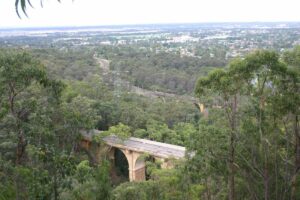
The viaduct from the top of the zig zag. (2009)
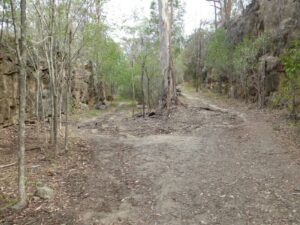
Junction on the Lapstone Zig Zag
![Former Lucasville station platform at the top junction [2009]](https://www.railtrails.org.au/wp-content/uploads/2020/11/N10-055-Lapstone-2009-01-6756-300x200.jpg)
Former Lucasville station platform at the top junction [2009]
![Start of the top section of the Zig Zag walk [2009]](https://www.railtrails.org.au/wp-content/uploads/2020/11/N10-106-The-start-of-the-Lapstone-Zig-Zag-walk-2-2018-02-300x225.jpg)
Start of the top section of the Zig Zag walk [2009]
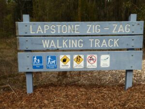
Walking track sign, Lapstone
![Glenbrook tunnel - east entrance [2022]](https://www.railtrails.org.au/wp-content/uploads/2022/01/N10-Lapstone-tunnel-east-end-_1641600547369.jpeg-225x300.jpg)
Glenbrook tunnel - east entrance [2022]
![Glenbrook tunnel - west portal [2022]](https://www.railtrails.org.au/wp-content/uploads/2022/01/N10-Lapstone-tunnel-west-end-1641600399476.jpeg-300x225.jpg)
Glenbrook tunnel - west portal [2022]
![Glenbrook tunnel - west portal [2022]](https://www.railtrails.org.au/wp-content/uploads/2022/01/N10-Lapstone-tunnel-west-end-1641600507249.jpeg-225x300.jpg)
Glenbrook tunnel - west portal [2022]
Do you know of a bike hire or transportation service on this rail trail that should appear here? If so, let us know at admin@railtrails.org.au.
Information and Links
For more information:
- https://en.wikipedia.org/wiki/Lapstone_Zig_Zag
- https://en.wikipedia.org/wiki/Glenbrook_Tunnel_(1892)
- http://www.visitsydneyaustralia.com.au/glenbrook-railway.html
To advertise your rail trail support business on this page, please click here.
To contact us about this trail, Email or click here: nsw@railtrails.org.au
Contact Rail Trails Australia
To contact us about this rail trail, email nsw@railtrails.org.au
Background Information
Traditional owners
We acknowledge the Dharug people, the traditional custodians of the land and waterways on which the rail trail is built.
Development and future of the rail trail
Much of the abandoned rail route can be reached via the rail trail.
Rail line history
This section of railway including the Knapsack Viaduct and the Lapstone Zig-Zag was completed in 1865 and opened for traffic in 1867. The Lapstone Zig-Zag and Lucasville station were officially closed in December 1892 after the first (1892) Glenbrook Tunnel Deviation was completed.
Around 1910 the lower section of the track, including the historic Knapsack Gully Viaduct, was converted into the Great Western Highway, the main road up Lapstone Hill until the M4 motorway replaced it in 1993. The M4 motorway still utilizes part of the lower section of the zig-zag, which now un-available as part of this small rail trail. The first tunnel was also bypassed by a double track tunnel with a gentler grade at this time.
Nearby Trails
Parramatta to Liverpool Railside Trail
25 km west of Sydney CBD
17 km






Rosehill to Carlingford Railside Trail
Western Sydney, 23km from Sydney CBD
5 km
Pippita Rail Trail
19 km west of Sydney, near Sydney Olympic Park

Meadowbank Railway Bridge
15 km west of Sydney
0.5 km
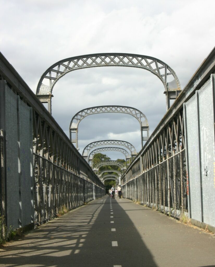
Como Bridge
20 km south of Sydney
2 km
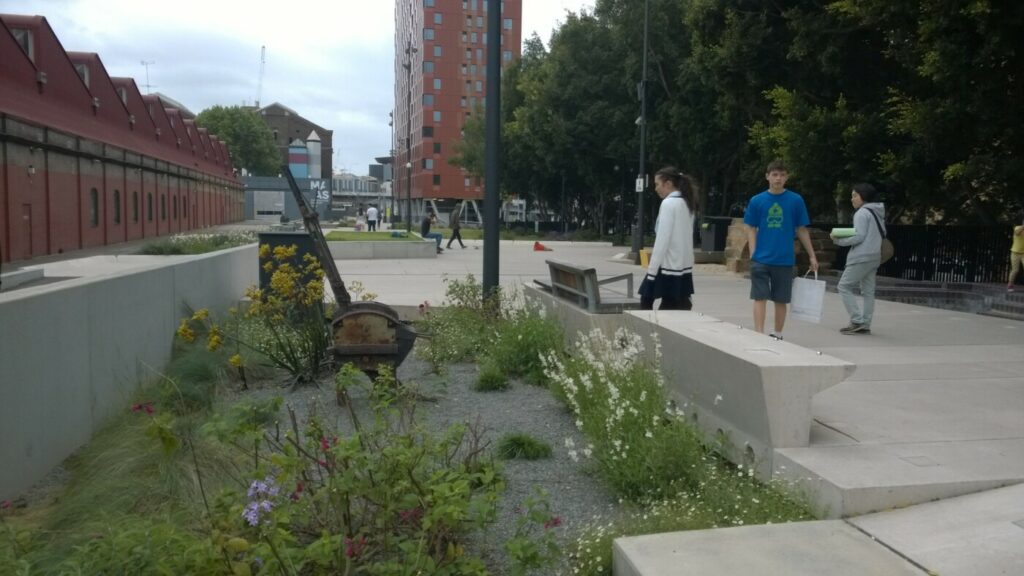
The Goods Line
2 km from the Sydney GPO
1 km
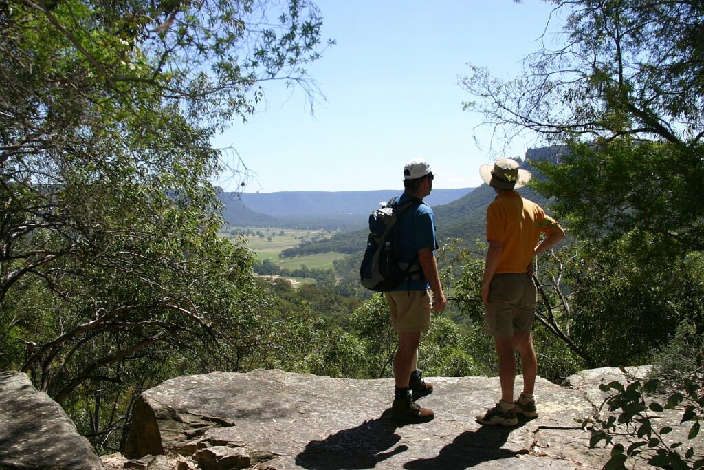
Wolgan Valley Rail Trail
Newnes is 190 km West of Sydney
11 km
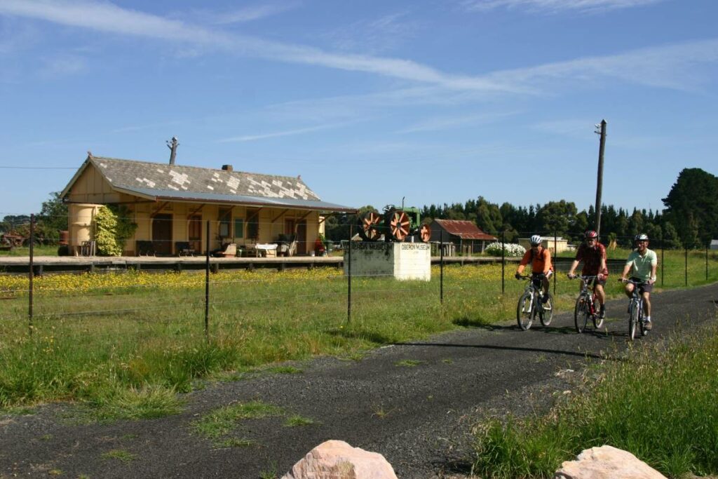
Pioneer Rail Trail Oberon
180 km west of Sydney
6 km
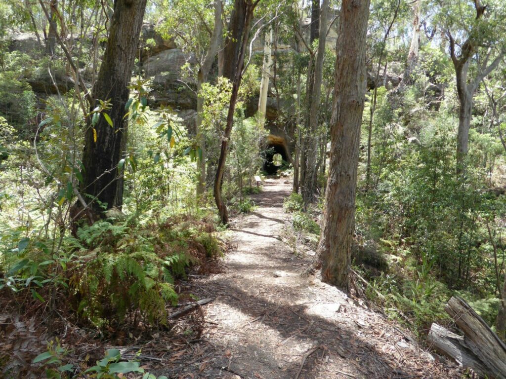
Box Vale Tramway Trail
110 km south-west of Sydney, in the Southern Highlands
5 km

Mt Kembla Memorial Pathway
100 km south of Sydney
2 km
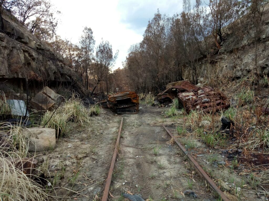
Awaba – Wangi Wangi Rail Trail
130 km north of Sydney
Nearby Trails
Parramatta to Liverpool Railside Trail
25 km west of Sydney CBD
17 km
Rosehill to Carlingford Railside Trail
Western Sydney, 23km from Sydney CBD
5 km
Pippita Rail Trail
19 km west of Sydney, near Sydney Olympic Park
Meadowbank Railway Bridge
15 km west of Sydney
0.5 km
Como Bridge
20 km south of Sydney
2 km
The Goods Line
2 km from the Sydney GPO
1 km
Wolgan Valley Rail Trail
Newnes is 190 km West of Sydney
11 km
Pioneer Rail Trail Oberon
180 km west of Sydney
6 km
Box Vale Tramway Trail
110 km south-west of Sydney, in the Southern Highlands
5 km
Mt Kembla Memorial Pathway
100 km south of Sydney
2 km
Awaba – Wangi Wangi Rail Trail
130 km north of Sydney
2 reviews of “Lapstone Knapsack Viaduct and Zig-Zag”
Explored this trail again over the new year weekend. It is justifiably popular with locals (great for short walks and cycling for littlies), and probably under appreciated by the thousands of tourists who travel past it unawares to the more famous parts of the Blue Mountains. Well worth a visit.
I walked this trail this morning (28/3/16) and it is a very popular with locals – riders, walkers and their dogs. It’s an easy walk up to the viaduct and then stairs up to the rail zig zag section. I found it really interesting, because it gave great views over the west Sydney region, good insight into the geology of the edge of the Blue Mountains, and great bush. I really recommend this trail, though the zig zag section is more for walking than riding, because of the difficulty in getting to it from the carparks.