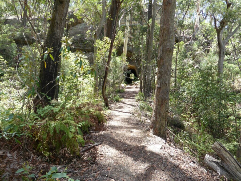
This short, attractive pathway is a popular off-road cycle route. Views are mainly bush with some rural residential housing. Signage reveals items and locations of historical significance, particularly relating to the mining history of the area, including tragedies such as the deaths of 96 miners and rescuers in a coal mine explosion in 1902. There is also information on cutting of red cedar timber.
The pathway ends at the site of the former Nebo Colliery’s Bradford breaker building.
- The top section of the pathway is suitable for walkers and mountain bikes only.
Nearby Attractions
- The historic Mount Kembla Village Hotel
- Soldiers and Miners Memorial Church
- Relics from the American Creek kerosene works
- Lookouts, walking tracks and tourist drives of the Illawarra escarpment
- Many beaches and Lake Illawarra
- Good cycling options, including railside trails, to Wollongong or Pt Kembla
- City of Wollongong
Last updated: 24 November 2022
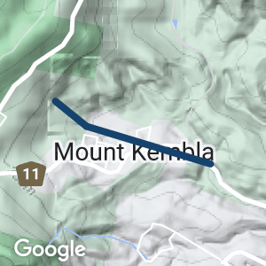
The trail can be accessed from:
- A small carpark southeast of 200 Cordeaux Rd
- Carpark and monument on Stones Rd
- Kirkwood Place
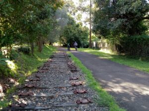
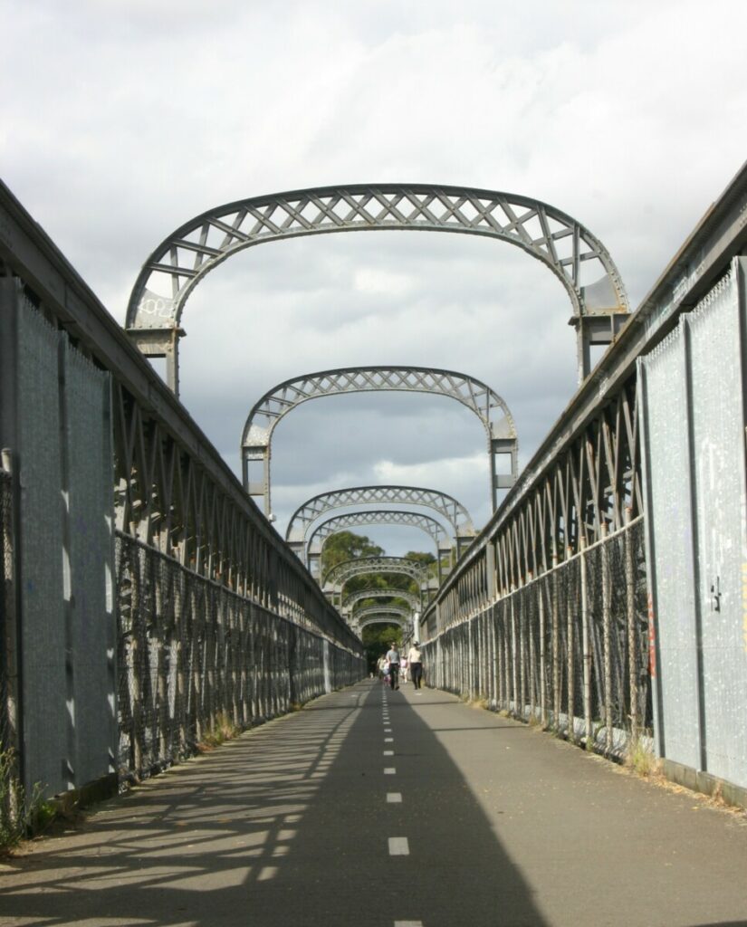
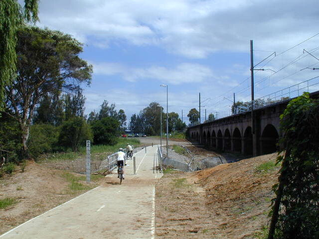
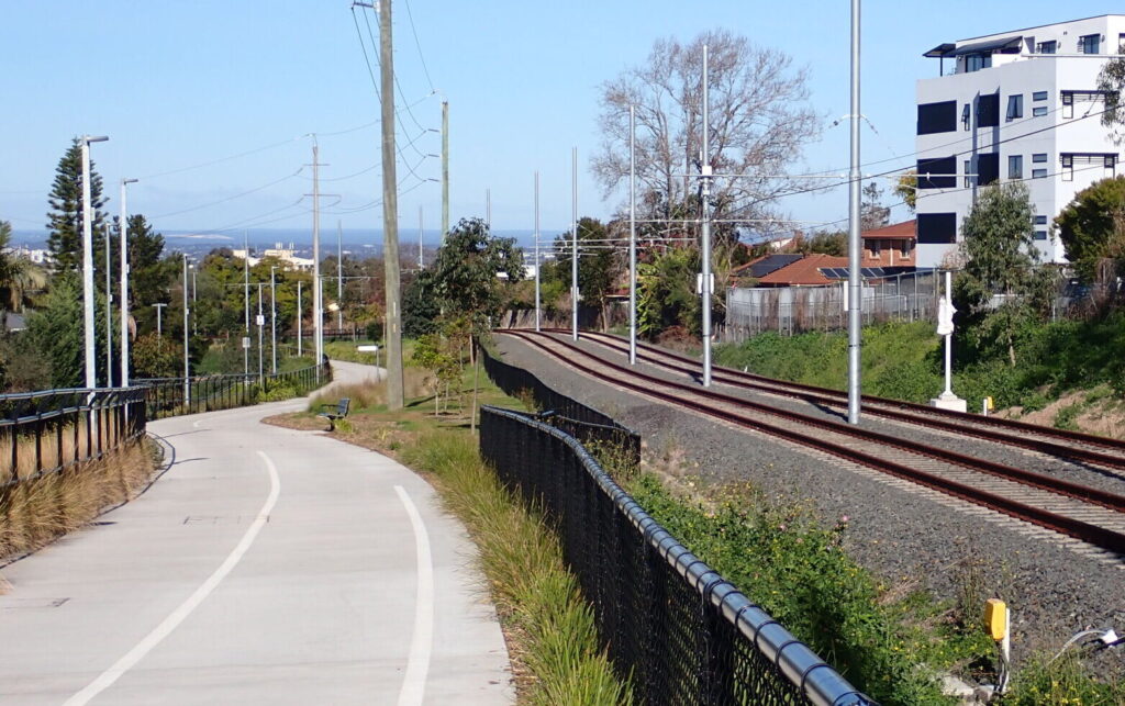
Mt Kembla Memorial Pathway with rail relics
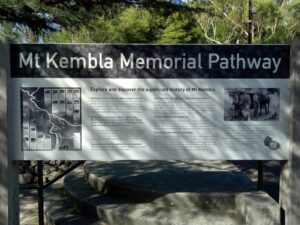
Pathway guide, Mt Kembla
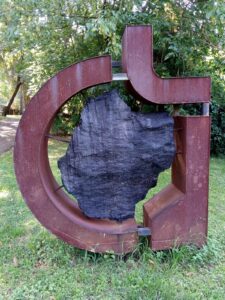
Sculpture, Mt Kembla
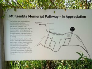
Pathway explanatory notes
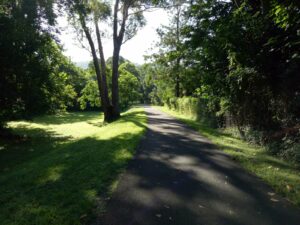
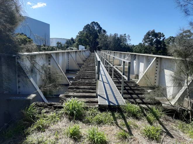
Sealed section of the pathway
 Leaders in Rail Trail Bicycle and E-Bike Hire in the Yarra Valley and Yarra Ranges. Customise your own riding adventure and help us support local businesses along the way. Family run and owned with extensive local knowledge, bike hire has never been so easy.
Do you know of a bike hire or transportation service on this rail trail that should appear here? If so, let us know at admin@railtrails.org.au.
Information and Links
For more information:
https://www.illawarramercury.com.au/story/4235145/new-walking-trail-takes-in-mt-kemblas-history/
The trail is managed by Wollongong City Council https://www.wollongong.nsw.gov.au/
Contact Rail Trails Australia
To contact us about this rail trail, email nsw@railtrails.org.au
Background Information
Traditional Owners
We acknowledge the Dharawal people, the traditional custodians of the land and waterways on which the trail is built.
Development and future of the rail trail
The Pathway was completed in stages, with the final Stage 3 to the Bradford breaker site completed in October 2016.
Nearby Trails
Box Vale Tramway Trail
110 km south-west of Sydney, in the Southern Highlands
5 km


Como Bridge
20 km south of Sydney
2 km


Parramatta to Liverpool Railside Trail
25 km west of Sydney CBD
17 km
Pippita Rail Trail
19 km west of Sydney, near Sydney Olympic Park

The Goods Line
2 km from the Sydney GPO
1 km
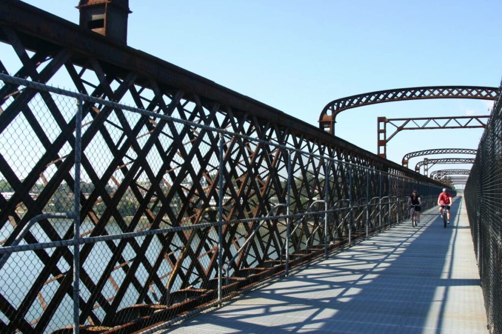
Meadowbank Railway Bridge
15 km west of Sydney
0.5 km
Rosehill to Carlingford Railside Trail
Western Sydney, 23km from Sydney CBD
5 km

Lavender Bay “High Line”
Milsons Point to Waverton
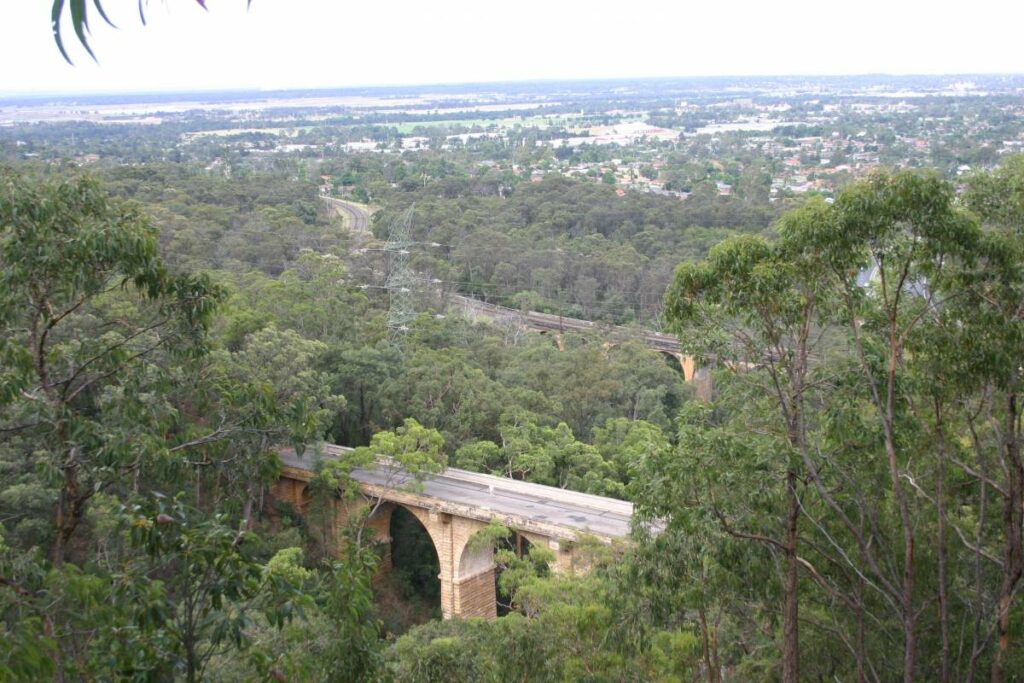
Lapstone Knapsack Viaduct and Zig-Zag
60 km west of Sydney
1.5 km
Goulburn to Crookwell Rail Trail
195km southwest of Sydney, in the Southern Tablelands
Nearby Trails
Box Vale Tramway Trail
110 km south-west of Sydney, in the Southern Highlands
5 km
Como Bridge
20 km south of Sydney
2 km
Parramatta to Liverpool Railside Trail
25 km west of Sydney CBD
17 km
Pippita Rail Trail
19 km west of Sydney, near Sydney Olympic Park
The Goods Line
2 km from the Sydney GPO
1 km
Meadowbank Railway Bridge
15 km west of Sydney
0.5 km
Rosehill to Carlingford Railside Trail
Western Sydney, 23km from Sydney CBD
5 km
Lavender Bay “High Line”
Milsons Point to Waverton
Lapstone Knapsack Viaduct and Zig-Zag
60 km west of Sydney
1.5 km
Goulburn to Crookwell Rail Trail
195km southwest of Sydney, in the Southern Tablelands
