
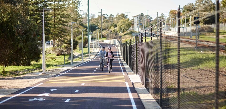
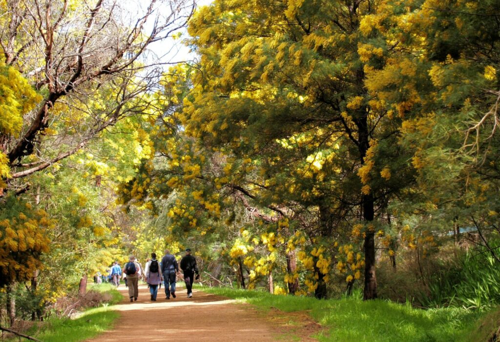
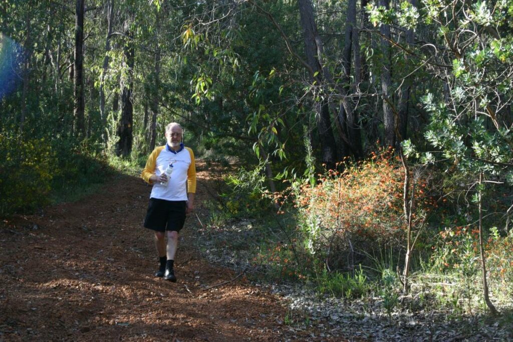
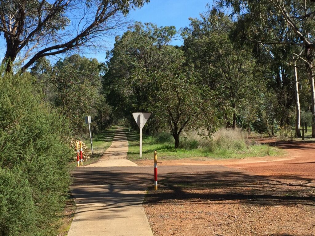
The Perth – Midland Principal Shared Path (PSP) is a high-quality urban dual use pathway which runs parallel to the Midland railway line through Perth’s eastern suburbs. At 17km in length, the path can be cycled in approximately 1 hour, or walked in approximately 4 hours.
Nearby Attractions
- Various historical and cultural attractions in and around the Perth CBD
- Café and retail precincts in Maylands, Bayswater and Guildford
- Perth’s premier railway history museum at Bassendean
- Visit historic Guildford established 1829
Last updated: 3 November 2023
Yagan Square to East Perth (2.1km)
Starting at the intersection of William Street Mall and Roe Street, the path heads east along Roe Street. It continues past Perth Train Station and then follows the railway line to McIver and Claisebrook. At Claisebrook, the path heads up a ramp and then turns left onto the Claisebrook station overpass. Descending from the overpass, the path follows the Graham Farmer Freeway for approximately 450m. It then turns northeast and runs along the southern side of the railway line to East Perth.
East Perth station was formerly the East Perth Locomotive Depot. In addition to Midland passenger services, it is also the departure point for Indian Pacific and Prospector trains.
East Perth to Bayswater (4.7km)
Leaving East Perth, the PSP continues on the southern side of the Midland rail line. It crosses Mount Lawley subway, then continues past Mount Lawley station and Maylands station. The old Maylands Station House (circa 1899) was preserved when the station was redeveloped in 2001. There is a vibrant shopping and café precinct in the vicinity.
Heading east, the PSP continues along the southern side of the railway line parallel to Whatley Crescent, passing Meltham station and then arriving at Bayswater.
The Bayswater station area is undergoing a significant redevelopment. Once complete, it will be a major hub for the Midland and future Airport and Ellenbrook railway lines.
Currently, the PSP around Bayswater station is diverted to accommodate these works. The latest diversion information can be found here on the METRONET website.
Bayswater to Bassendean (4.2km)
Leaving Bayswater, the PSP continues on the southern side of the railway. This section is currently closed to accommodate Airport rail line works. A diversion onto Whatley Crescent is in place until approximately mid-2022.
The on-road diversion re-joins the PSP at the intersection of Whatley Crescent and Newton Street. The PSP veers north-east alongside Guildford Road, passing under the Tonkin Highway traffic bridge.
Cycles Bespoke are one of two bike shops along this route and are located at 6/156 Guildford Road – approximately 500 metres after the Tonkin Highway overpass.
The PSP continues northeast, passing Ashfield. On the northern side of the railway line, at 136 Railway Parade, is the Railway Museum. This is WA’s premier museum devoted to railway history. It is generally open Wednesdays and Sunday afternoons. However, check their website for special events and variations to usual hours.
At Collier Road, the PSP crosses the railway line and continues on the northern side to Bassendean station.
Bassendean to Guildford (2km)
From Bassendean, the PSP continues on the northern side of the rail line. After passing Success Hill station, the PSP reaches the Swan River, where it briefly heads south, under the railway bridge and then crossing the river at Guildford Road Bridge. This bridge was constructed in 1937 and is heritage listed.
At Guildford Station, the PSP crosses to the northern side of the railway. There are several cafes, restaurants and shops within the vicinity, including the Guildford Hotel and the iconic Alfred’s Kitchen.
Guildford was one of the first towns established when WA was settled in 1829. The Swan Valley Visitor’s Centre is located just 200 metres from the PSP, on the corner of Meadow and Swan Streets. The Visitor’s Centre is a great source of information for the various walking and cycling heritage trail options in Guildford and the Swan Valley.
Guildford to Midland (4km)
Leaving Guildford, the path continues on the northern side of the railway towards East Guildford station.
The second bicycle store along the route, Guildford Cycles, is located 5/46 James Street Guildford. The store can be reached via a short detour from either Waylen Road rail crossing or Swan Street East and Fauntleroy Street.
The PSP continues to Woodbridge station, where the path terminates at the Morrison Road rail crossing.
The final section of the PSP between Morrison Road and Midland station is not yet completed. This section can be undertaken using Great Eastern Highway, where there is a footpath that takes you to the Midland Station parking area. Alternatively, you can continue east via Yelverton Drive and Amherst Road on the southern side of the railway which takes you past the. Old Midland Railway workshops which have been redeveloped as residential and commercial premises.
Heading north at Helena Street, you can access Midland station via a pathway just after the railway crossing.
About Bike Hire: https://aboutbikehire.com.au/ or 08 9221 2665. About 5 minute ride from Perth Central Train station.
Cycle Centre Perth: http://cyclecentre.com.au/ or (08) 9325 1176. Located a short ride (2-3 blocks) to the rail side Principal Shared Paths (PSP)
RideOnE: http://www.rideone.com.au/ or (08) 6117 4114. Urban and mountain ebike hire in Ascot which is several blocks from the Midland PSP.
Do you know of a bike hire or transportation service on this rail trail that should appear here? If so, let us know at admin@railtrails.org.au.
Information and Links
See Services tab above for links to services and businesses along this trail
For more information:
Perth to Midland bicycle route map
This pathway is managed by Main Roads WA. To report issues or problems, please visit:
https://www.mainroads.wa.gov.au/contact-us/
https://www.transport.wa.gov.au/activetransport/online-hazard-report-form.asp
Contact Rail Trails Australia
To contact us about this rail trail, email wa@railtrails.org.au
Background Information
Traditional owners
Rail Trails Australia acknowledges the Whadjuk people of the Noongar Nation, the traditional custodians of the land and waterways on which this pathway has been built.
Development and future of the rail trail
The Perth – Midland PSP is almost complete, with only a short section from Woodbridge to Midland stations to be developed. Planning is ongoing for the New Midland Train station, which will see the existing Midland station decommissioned and a new station constructed closer to the Midland town centre and Midland Health Campus. More than 1km of shared path along the northern side of the rail corridor will be constructed as part of this project. It will connect to the existing cycle network at Morrison Road and Lloyd Street.
A future connection linking the new Midland Station to the Railway Reserves Heritage Trail is also planned.
Rail line history
The Midland railway line is a suburban railway that connects the state capital of Perth with the city of Midland. The line opened on 1 March 1881 as the first suburban railway line in Perth. It originally operated as the Eastern Railway and ran between Fremantle and Guildford, via central Perth.
The Midland Railway Workshops were located to the southeast of the existing Midland station location. They were the main workshops for the Western Australian Government Railways for over 80 years, eventually closing in 1994. A number of structures from the workshops have been retained and some repurposed into commercial premises.
Nearby Trails
Kalamunda Railway Heritage Trail
25km south east of Perth
16 km


30 km


20 km
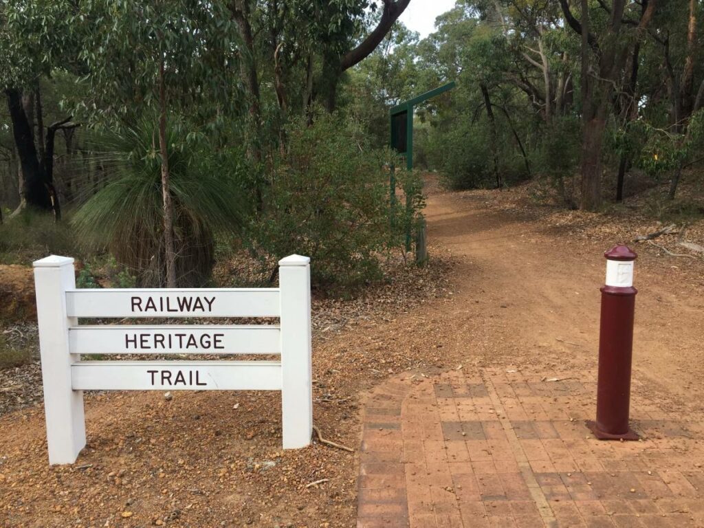
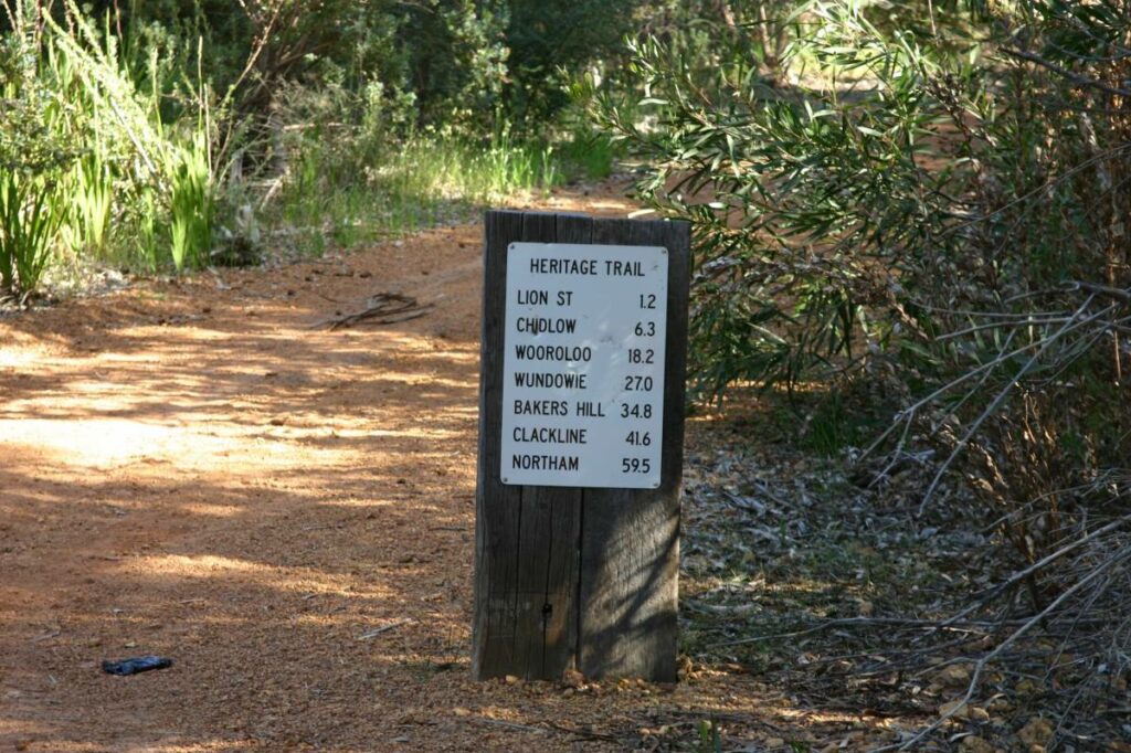
Railway Reserves Heritage Trail
19km East of Perth
59 km

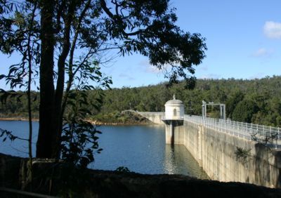
Mundaring Weir Rail Trail
39 km east of Perth
7 km
Jarrahdale 1872 Timber Tramway
50km south east of Perth
10 km
Kep Track
39km east of Perth
75 km
Jarrahdale Balmoral Rail Trail
50km south east of Perth
11 km
Tullis Bridge Walk Trail
135 km south east of Perth
9 km
Ranford Pool Walk Trail
135 km south east of Perth
2 km
Nearby Trails
Kalamunda Railway Heritage Trail
25km south east of Perth
16 km
30 km
20 km
Railway Reserves Heritage Trail
19km East of Perth
59 km
Mundaring Weir Rail Trail
39 km east of Perth
7 km
Jarrahdale 1872 Timber Tramway
50km south east of Perth
10 km
Kep Track
39km east of Perth
75 km
Jarrahdale Balmoral Rail Trail
50km south east of Perth
11 km
Tullis Bridge Walk Trail
135 km south east of Perth
9 km
Ranford Pool Walk Trail
135 km south east of Perth
2 km