
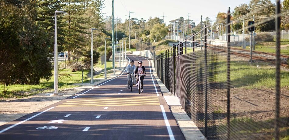
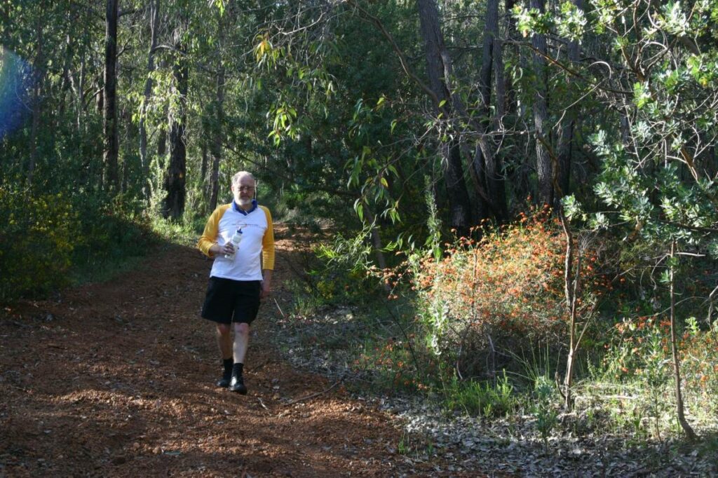
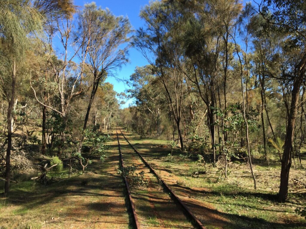
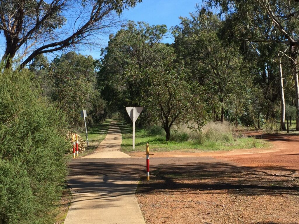
The Perth – Armadale Principal Shared Path (PSP) is a partially complete urban dual use pathway that runs parallel to the Armadale Railway Line through Perth’s south-eastern suburbs. At around 30km long, the entire route can be ridden 1.5 hours or walked in approximately six hours. Approximately 23km (or 75%) of the route consists of a high-quality asphalt shared path, with the remaining 25% comprising of low traffic residential streets.
Nearby Attractions
- The historic East Perth Power Station
- Perth Stadium and its surrounding parkland
- Connections to other trail networks along the Swan and Canning rivers
Last updated: 31 July 2024
Section Guides
Perth to Burswood (5.5 km)
Starting at the Yagan Square digital tower, the path heads east along the Roe Street cycleway before transitioning into a shared path at the historic Barrack Street Bridge. Heading east, the path takes you past the McIver and Claisebrook train stations before crossing the Graham Farmer Freeway via an impressive footbridge. On the other side the freeway, the paths runs alongside the edge of the East Perth Power Station. Opened in 1916 and closed in 1981, the heritage listed building is earmarked for redevelopment as an ‘eastern gateway’ to the Perth CBD. Crossing the Swan River via the Windan Bridge, the path leads to the Burwood Peninsula, home to Perth Stadium, Belmont Park Racecourse and the Crown Perth Entertainment Complex. At Riversdale Road, the path crosses the freeway again before linking up with another section of path on Goodwood Parade. Here, the path continues past Burswood Station before crossing over Great Eastern Highway via another footbridge.
Burswood to Beckenham (8.7 km)
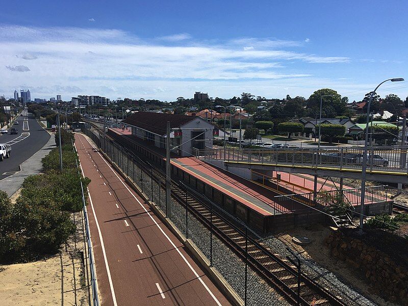
Heading south from Great Eastern Highway, the route follows a quiet local road called Rutland Avenue to Victoria Park Station. Victoria Park is a trendy inner suburb home to many restaurants and cafes. From Victoria Park Station, the road riding continues along Rutland Avenue before the PSP recommences at the Miller Street Bridge.
The path crosses Archer Street before passing Carlisle and Oats Street train stations. Another road crossing occurs at Oats Street, with the PSP continuing along Rutland Avenue. On the other side of Welshpool Road, the path continues past Welshpool Station, which will be closed in coming years as part of broader upgrades to the Armadale Line. The PSP continues over another street crossing at Hamilton Street to reach Queens Park Station before crossing Wharf Street. Beyond Wharf Street, the path continues past Cannington Station before reaching Beckenham Station, which straddles either side of William Street.
Beckenham to Gosnells (7.3 km)
The section between William Street and Roe Highway has recently been upgraded. Just south of Roe Highway, a passenger spur line heads off in a westerly direction towards Thornlie. South of Kenwick Station, the PSP continues crosses Bickley Brook as it approaches Maddington Station.
After crossing Kelvin Road another section of road riding is encountered along The Crescent (which is soon to be upgraded). This continues to the crossing of Albany Highway, where the PSP recommences again. From here, the PSP remains close to the railway line as it crosses the Canning River to reach the historic Gosnells town centre.
Gosnells to Armadale (9.0 km)
At Dorothy Street, it is best to cross to the western side of the railway. Here there is a 2.3km section of road riding (via Wheatley Street, Hicks Street and Seaforth Avenue). South of Tonkin Highway there are several further sections of road riding. Here it is easiest to remain on the western side of the railway where you pass several stations including Kelmscott, Challis and Sherwood. Once reaching Armadale Road, the path recommences on the eastern side of railway taking you to the Armadale city centre.
South of Armadale
The PSP is currently being extended from Armadale to Byford as part of METRONET. There are also plans to link Byford to Mundjiong which will involve extending the existing “Soliders Road Shared Path”

 Leaders in Rail Trail Bicycle and E-Bike Hire in the Yarra Valley and Yarra Ranges. Customise your own riding adventure and help us support local businesses along the way. Family run and owned with extensive local knowledge, bike hire has never been so easy.
About Bike Hire: https://aboutbikehire.com.au/ or (08) 9221 2665. About 5 minute ride from Perth Central Train station.
Cycle Centre Perth: http://cyclecentre.com.au/ or (08) 9325 1176. Located a short ride (2-3 blocks) to the rail side Principal Shared Paths.
Do you know of a bike hire or transportation service on this rail trail that should appear here? If so, let us know at admin@railtrails.org.au.
Information and Links
See Services tab above for links to services and businesses along this trail.
This pathway is managed by Main Roads WA. To report issues or problems, please visit:
https://www.mainroads.wa.gov.au/contact-us/ https://www.transport.wa.gov.au/activetransport/online-hazard-report-form.asp
Contact Rail Trails Australia
To contact us about this rail trail, email wa@railtrails.org.au
Background Information
Traditional owners
Rail Trails Australia acknowledges the Whadjuk people of the Noongar Nation, the traditional custodians of the land and waterways on which this pathway is built.
Development and future of the rail trail
All “gaps” along the Perth – Armadale PSP are planned to be replaced with a high-quality dual use paths in the next few years. Planned upgrades include:
- Rutland Avenue in the Town of Victoria Park;
- The Crescent in the City of Gosnells; and
- Dorothy Street to Tonkin Highway in the City of Gosnells.
Additionally, as part of the Victoria Park – Canning Level Crossing Removal Project, it is expected that a large part of the PSP will be upgraded/realigned in order to accommodate several viaduct structures.
Rail line history
The Armadale Line connects Perth with Armadale, and follows the northernmost section of the South Western Railway which opened 1893. The South Western Railway operated from Perth to Bunbury and is still used by the Australind regional passenger service to this day. The section between Perth and Armadale was electrified in 1991. Recent decades has seen the replacement of the Belmont Park Station with the much larger Perth Stadium Station, as well as the construction of a spur line to Thornlie (opened in 2005). Works are underway to extend the Thornlie to Cockburn by 2024. There is also a proposal to extend the electrified section of the Armadale line south to Byford, which will hopefully also see an extension of the PSP.
Nearby Trails
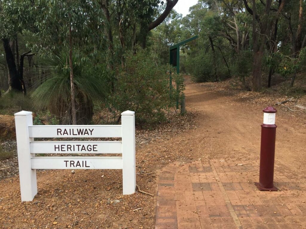
Kalamunda Railway Heritage Trail
25km south east of Perth
16 km


20 km


17 km
Jarrahdale 1872 Timber Tramway
50km south east of Perth
10 km
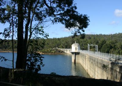
Mundaring Weir Rail Trail
39 km east of Perth
7 km
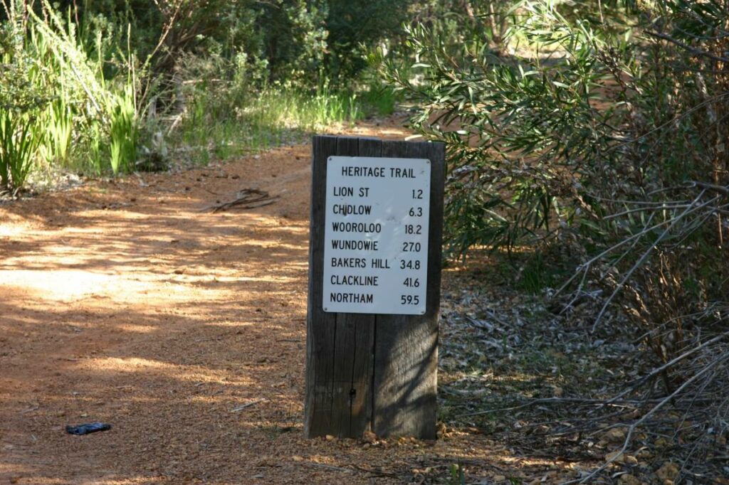
Railway Reserves Heritage Trail
19km East of Perth
59 km

Jarrahdale Balmoral Rail Trail
50 km south east of Perth
11 km
Kep Track
39km east of Perth
75 km
Tullis Bridge Walk Trail
135 km south east of Perth
9 km
Ranford Pool Walk Trail
135 km south east of Perth
2 km
Nearby Trails
Kalamunda Railway Heritage Trail
25km south east of Perth
16 km
20 km
17 km
Jarrahdale 1872 Timber Tramway
50km south east of Perth
10 km
Mundaring Weir Rail Trail
39 km east of Perth
7 km
Railway Reserves Heritage Trail
19km East of Perth
59 km
Jarrahdale Balmoral Rail Trail
50 km south east of Perth
11 km
Kep Track
39km east of Perth
75 km
Tullis Bridge Walk Trail
135 km south east of Perth
9 km
Ranford Pool Walk Trail
135 km south east of Perth
2 km
