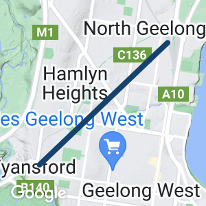
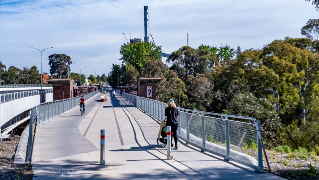
- A safe and convenient way to walk and ride in the northern area of Geelong
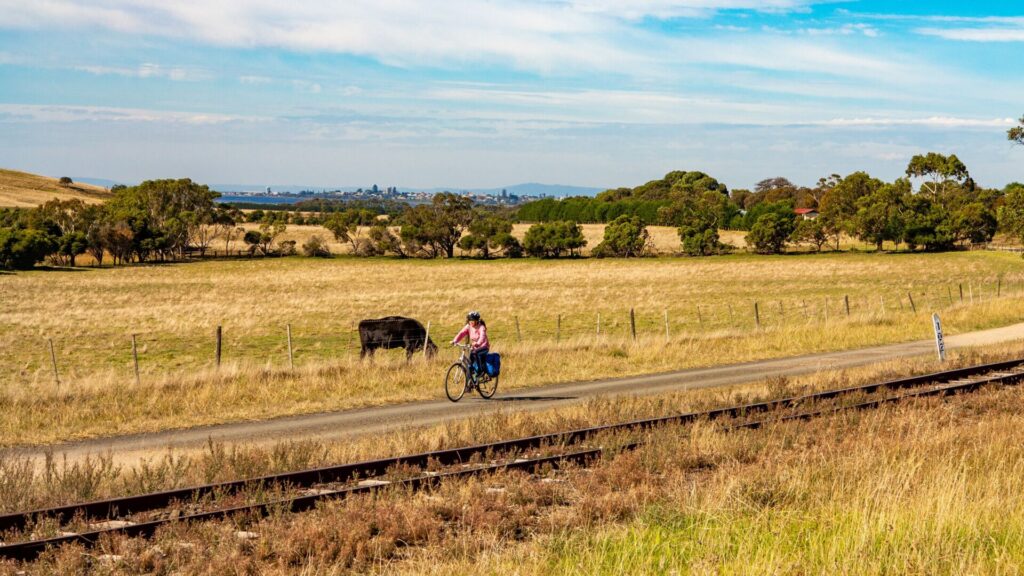
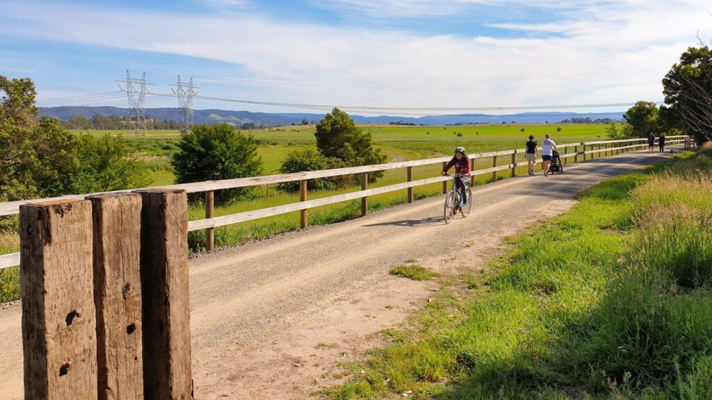
- Brilliant views of the Moorabool River valley from the Fyansford end of the trail
- A great excuse to explore the many highlights of the Geelong region
Nearby Attractions
- Geelong Waterfront with its colourful, carved bollards
- National Wool Museum
- Buckley Falls
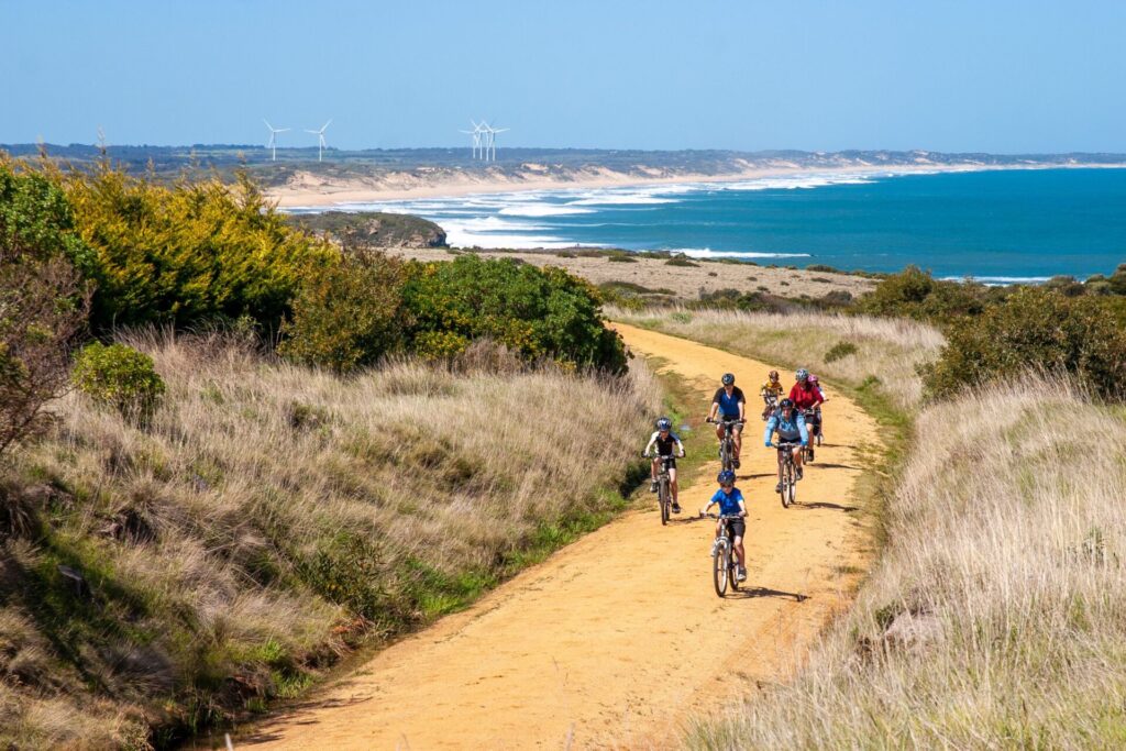
- Bellarine Rail Trail
- Corio Bay
- Green Spine project along Malop St
Last updated: 19 April 2024
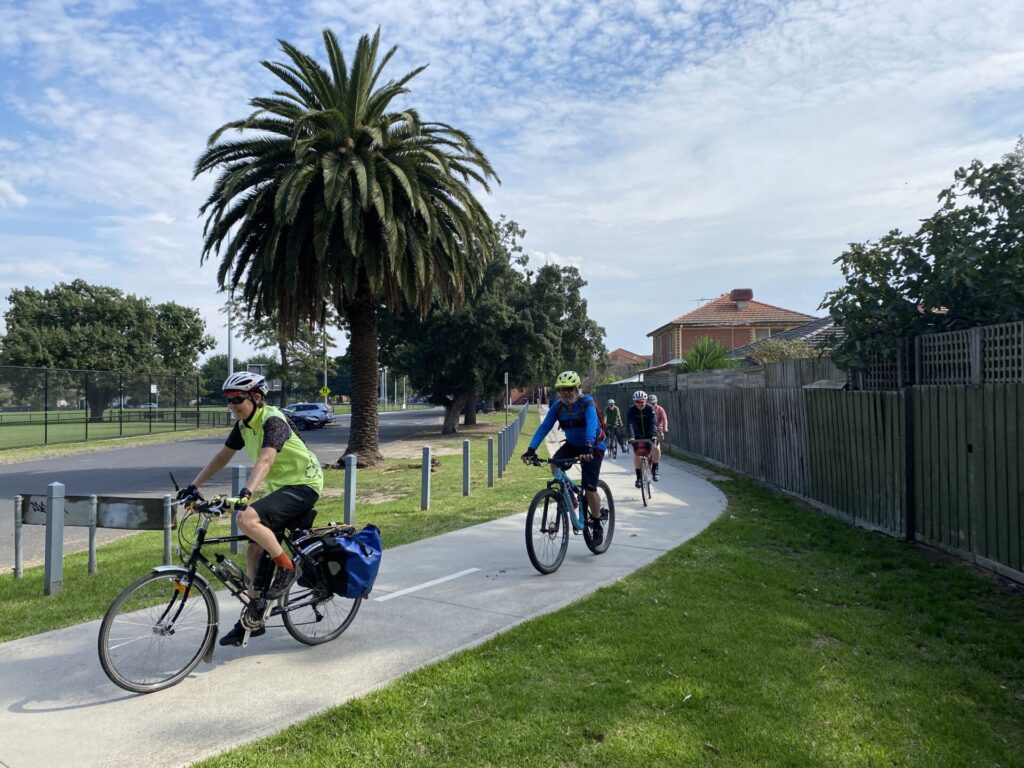
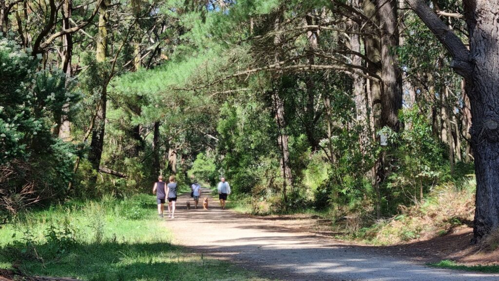
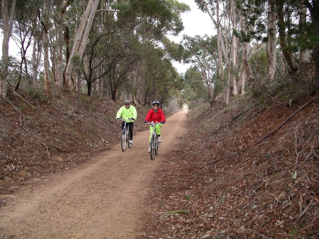
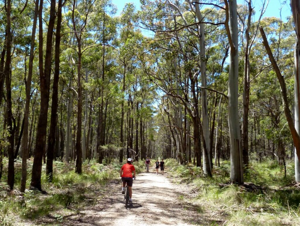
The trail appears to retain the ancient asphalt from when it was first sealed and is lumpy in places, but it offers a range of parkland and urban settings as it heads up to Fyansford. It’s possible to link this shared path to the Bellarine Rail Trail by following the Barwon River Trail.
Section Guides
- The rail trail starts from Douro St, opposite Roseneath St, where there is limited parking.
- Douro St is near North Geelong Station, which has a sizeable car park. From there take Victoria St west to Roseneath St, turn right and travel north until it meets Douro St, where the trailhead is signed as Tom McKean Linear Park
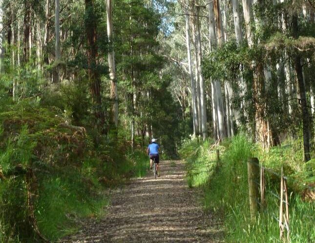
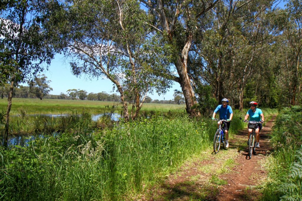
- The asphalt path runs through various urban settings linking small and large parks. There are facilities at Hamlyn Park and Kevin Kirby Reserve, which also has a BBQ
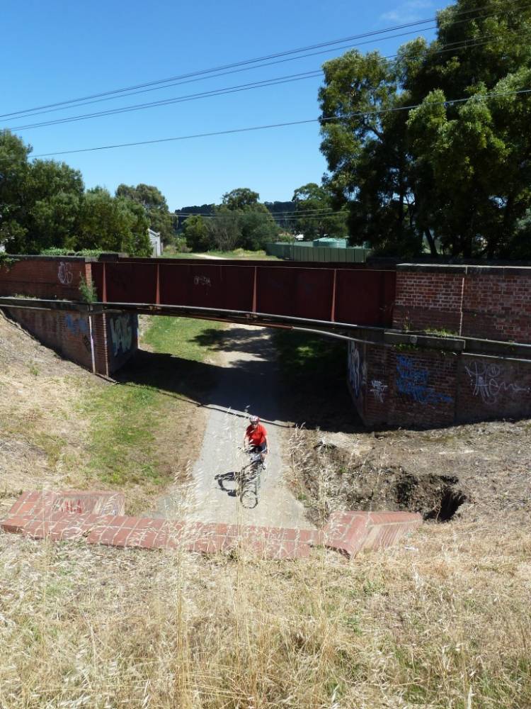
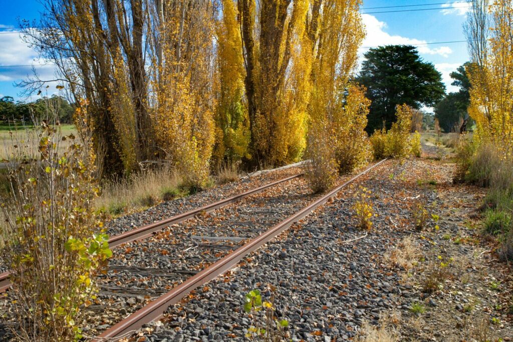
- When you reach the end of the trail at McCurdy St, Fyansford, only the despatch area and switching yard for the cement trains remains. The tall silos high on the bluff were a focal point for locals and visitors, especially after they were painted by famous street artist Rone. The artwork was visible for kilometres but the silos were demolished in 2020
- The cement works itself, below the Hyland St hill, has also been demolished
CONNECTING TRAIL
- If the Fyansford Rail Trail was just a warm-up for you, why not add 17km by riding to the Bellarine Rail Trail? From the Fyansford switching yard on McCurdy Rd, walk down the zig-zag path or ride down Hyland St, with care, and cross Deviation Rd to the Barwon River Trail. Head south-east, passing The Hill MTB Park on Marnock Rd to the left and an impressive array of rowing sheds after Moorabool St. Due to level-crossing removal works, it’s currently not advisable to ride directly to the Bellarine trailhead at South Geelong Station via Yarra St, so turn left after the Breakwater rail bridge, take Church and Tucker streets and the partial shared path along Breakwater Rd north to join the Bellarine Rail Trail just south of Carr St (see our map). There is car parking there and camping at the showgrounds you just past.
![Riding south from the trailhead with railyards in the background [2019]](https://www.railtrails.org.au/wp-content/uploads/2021/11/V17-055-North-Geelong-2019-08-0539-300x169.jpg)
Riding south from the trailhead with railyards in the background [2019]
![Sparkling facilities halfway along the trail in Hamlyn Park, near Calvert St [2019]](https://www.railtrails.org.au/wp-content/uploads/2021/11/V17-055-North-Geelong-to-Fyansford-2019-08-2019-08-31_162721-300x169.jpg)
Sparkling facilities halfway along the trail in Hamlyn Park, near Calvert St [2019]
![Typical parkland scenery on the trail next to the railway alignment [2019]](https://www.railtrails.org.au/wp-content/uploads/2021/11/V17-055-North-Geelong-to-Fyansford-2019-08-2019-08-31_162435-300x169.jpg)
Typical parkland scenery on the trail next to the railway alignment [2019]
![The Fyansford end of the path near McCurdy Rd. It was built as a railside trail in the 1980s [2019]](https://www.railtrails.org.au/wp-content/uploads/2021/11/V17-055-North-Geelong-to-Fyansford-2019-08-2019-08-31_162050-300x169.jpg)
The Fyansford end of the path near McCurdy Rd. It was built as a railside trail in the 1980s [2019]
![The view from Fyansford looking over the Moorabool River [2019]](https://www.railtrails.org.au/wp-content/uploads/2021/11/V17-105-Fyansford-2019-08-0547-300x169.jpg)
The view from Fyansford looking over the Moorabool River [2019]
![The line brought in raw materials and transported out the cement [2019]](https://www.railtrails.org.au/wp-content/uploads/2021/11/V17-105-Fyansford-2019-08-31_160416-300x169.jpg)
The line brought in raw materials and transported out the cement [2019]
![The silos' artwork was a landmark, but they were demolished the year after this shot [2019]](https://www.railtrails.org.au/wp-content/uploads/2021/11/V17-105-Fyansford-2019-08-0546-300x169.jpg)
The silos' artwork was a landmark, but they were demolished the year after this shot [2019]
Public Transport
V/Line’s Geelong services from Southern Cross Station will get you to the North Geelong Station near the start of this trail. From there take Victoria St west to Roseneath St, turn right and travel north until it meets Douro St, where the trailhead is on the left and signed as Tom McKean Linear Park.
Refer to the PTV web page for map and timetables, or the navigation app of your choice.
Do you know of a bike hire or transportation service on this rail trail that should appear here? If so, let us know at admin@railtrails.org.au.
Contact Rail Trails Australia
To contact us about this rail trail, email vic@railtrails.org.au
Background Information
The line was conceived by the Australian Portland Cement Company, which approached the state government in 1915-16 requesting a rail link from its plant on Hyland St, Fyansford, to the North Geelong yards to cope with increased production and reduce road traffic. The company bought the land for it and transferred the titles to Victoria Railways. The broad-gauge line opened in 1918, with a conveyor system carrying the cement up the hill from the APC plant to the silos and despatch area on McCurdy Rd.
A shared path and linear park were established beside the tracks in the early 1980s but use of the line itself declined as road haulage took over. The cement plant closed in 2000 and was demolished, while the silos were decorated with artwork and became a landmark until they were removed in 2020.
Coincidentally, after initially using a ropeway, in 1926 the company opened its own 3’6″-gauge (1067mm) line from the Fyansford plant to its quarries further up the Moorabool River. This was replaced with a conveyor system in 1966 and most of the locomotives went to the Bellarine Railway.
Nearby Trails
Bellarine Rail Trail
Bellarine Peninsula, 75 km southwest of Melbourne's CBD
35 km


Sandridge Railside Trail
Melbourne city, 1 km from GPO
4 km

Webb Dock Bridge
Docklands, 1 km from Melbourne CBD
0.2 km
Tiger Rail Trail
136 km south west of Melbourne
4.4 km
Rosstown Rail Trail
Southern suburbs, 9 km from the CBD
8.8 km

Inner Circle Rail Trail
Inner suburbs, 5 km from the CBD
4.8 km

Mornington Railside Trail
Mornington Peninsula, 60 km south of CBD
4 km
Hawthorn to Kew Rail Trail
Inner suburbs, 9 km east of Melbourne CBD
1 km
Red Hill Rail Trail
Mornington Peninsula, 90 km south of CBD
6.3 km

Outer Circle Rail Trail
Eastern suburbs, 6 km from Melbourne CBD
17 km
Meadowlink Rail Trail
Broadmeadows, 20 km north of CBD
1.2 km
The Bunny Trail
110 km west of Melbourne
1.0 km

Old Beechy Rail Trail
Otway Ranges, 152 km south west of Melbourne
37 km
Ballarat-Skipton Rail Trail
110km north west of Melbourne
57 km
Woodend to Daylesford (incl Domino) Rail Trail
85km north west of Melbourne
5 km
Heathmont to Belgrave Trail
Eastern suburbs, 40 km from the CBD
16 km
Eastern Dandenong Ranges Trail
Dandenongs, 50 km southeast of CBD
15 km
Warburton Rail Trail/Yarra Valley Trail
Yarra Valley, 50 km east of Melbourne CBD
48 km
Bass Coast Rail Trail
130km south-east of Melbourne
23 km
Camperdown-Timboon Rail Trail
160km south west of Melbourne
41 km
Castlemaine to Maryborough Rail Trail
Central Victoria, 124 km from Melbourne

Nearby Trails
Bellarine Rail Trail
Bellarine Peninsula, 75 km southwest of Melbourne's CBD
35 km
Sandridge Railside Trail
Melbourne city, 1 km from GPO
4 km
Webb Dock Bridge
Docklands, 1 km from Melbourne CBD
0.2 km
Tiger Rail Trail
136 km south west of Melbourne
4.4 km
Rosstown Rail Trail
Southern suburbs, 9 km from the CBD
8.8 km
Inner Circle Rail Trail
Inner suburbs, 5 km from the CBD
4.8 km
Mornington Railside Trail
Mornington Peninsula, 60 km south of CBD
4 km
Hawthorn to Kew Rail Trail
Inner suburbs, 9 km east of Melbourne CBD
1 km
Red Hill Rail Trail
Mornington Peninsula, 90 km south of CBD
6.3 km
Outer Circle Rail Trail
Eastern suburbs, 6 km from Melbourne CBD
17 km
Meadowlink Rail Trail
Broadmeadows, 20 km north of CBD
1.2 km
The Bunny Trail
110 km west of Melbourne
1.0 km
Old Beechy Rail Trail
Otway Ranges, 152 km south west of Melbourne
37 km
Ballarat-Skipton Rail Trail
110km north west of Melbourne
57 km
Woodend to Daylesford (incl Domino) Rail Trail
85km north west of Melbourne
5 km
Heathmont to Belgrave Trail
Eastern suburbs, 40 km from the CBD
16 km
Eastern Dandenong Ranges Trail
Dandenongs, 50 km southeast of CBD
15 km
Warburton Rail Trail/Yarra Valley Trail
Yarra Valley, 50 km east of Melbourne CBD
48 km
Bass Coast Rail Trail
130km south-east of Melbourne
23 km
Camperdown-Timboon Rail Trail
160km south west of Melbourne
41 km
Castlemaine to Maryborough Rail Trail
Central Victoria, 124 km from Melbourne