
This potential trail links Milsons Point to Waverton on the north side of Sydney Harbour. Although relatively short, the 3km trail has excellent scenic views of Sydney Harbour and Barangaroo. It passes close to some iconic Sydney places, beginning at Luna Park and encompassing Wendy Whiteley’s Secret Garden and Sawmillers Reserve. It even has its own tunnel.
The rail corridor has been in the news in 2024 as potentially Sydney’s version of New York City’s excellent High Line rail trail. For more information, see this ABC news item.
The trail route can be followed generally today on foot from the northern end of Luna Park, with some on-street diversions where the tunnel is situated.
Nearby Attractions
The main local attractions are the views of Sydney Harbour and the Harbour Bridge, the proximity to Milsons Point, Luna Park, Sydney’s CBD and North Sydney precinct, and the nearby locations of Wendy Whiteley’s Secret Garden, Sawmillers Reserve and Waverton Park on the Sydney Harbour foreshore.
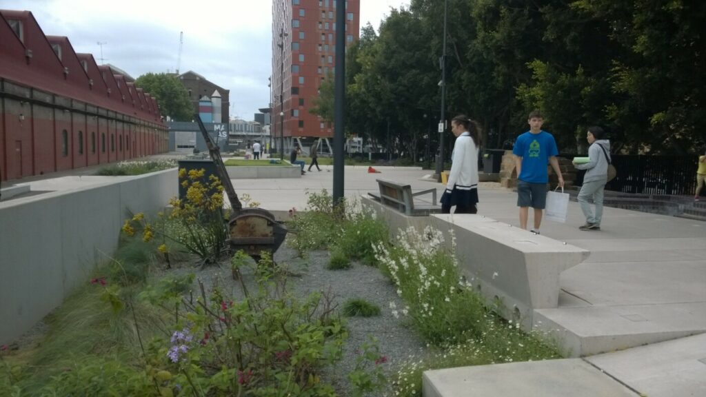
Luna Park is a family-friendly amusement park that all ages can enjoy.
The whole area of Lavender Bay and Milsons Point has historical significance in the early years of European settlement of Sydney and the construction of the harbour bridge from 1923 to 1932.
Last updated: 25 June 2024
The trail route is easily accessed on the board walk at the northern end of Luna Park.
The western end of the tunnel is adjacent to French Street. From there, there are on-street and footpath options to follow the route to Waverton station.
There are bus and train options for accessing both Milsons Point and Waverton stations.

View from Lavender Bay

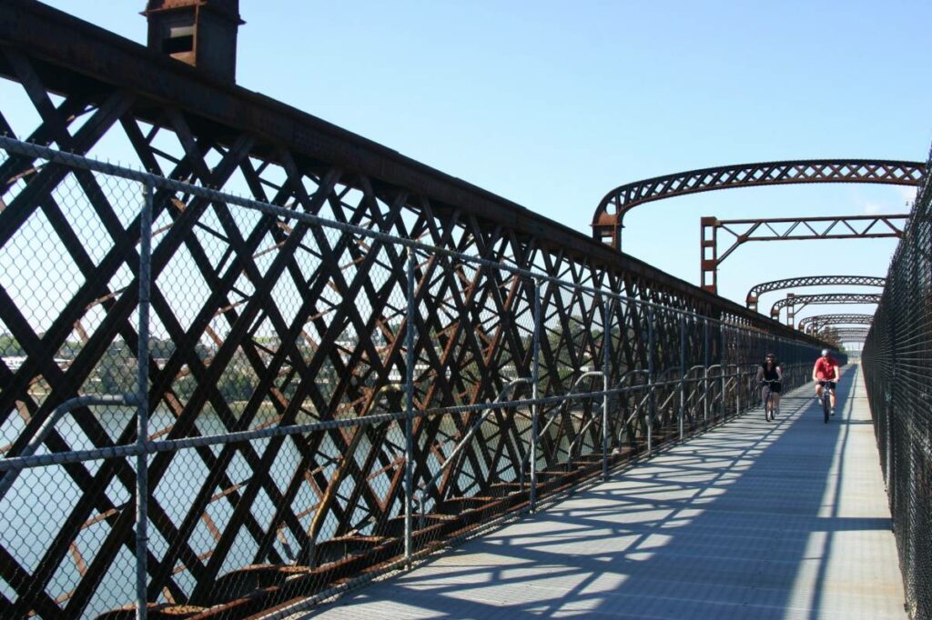
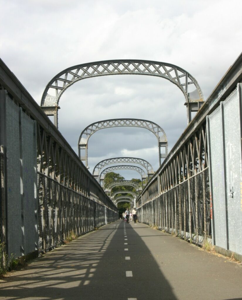
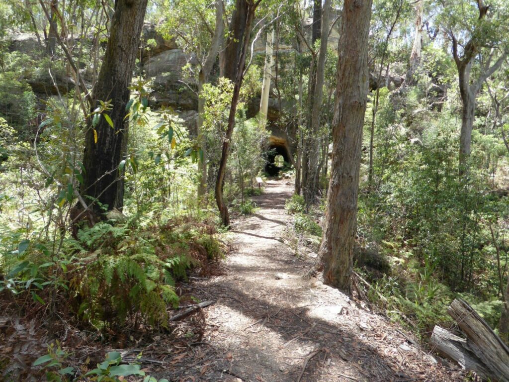
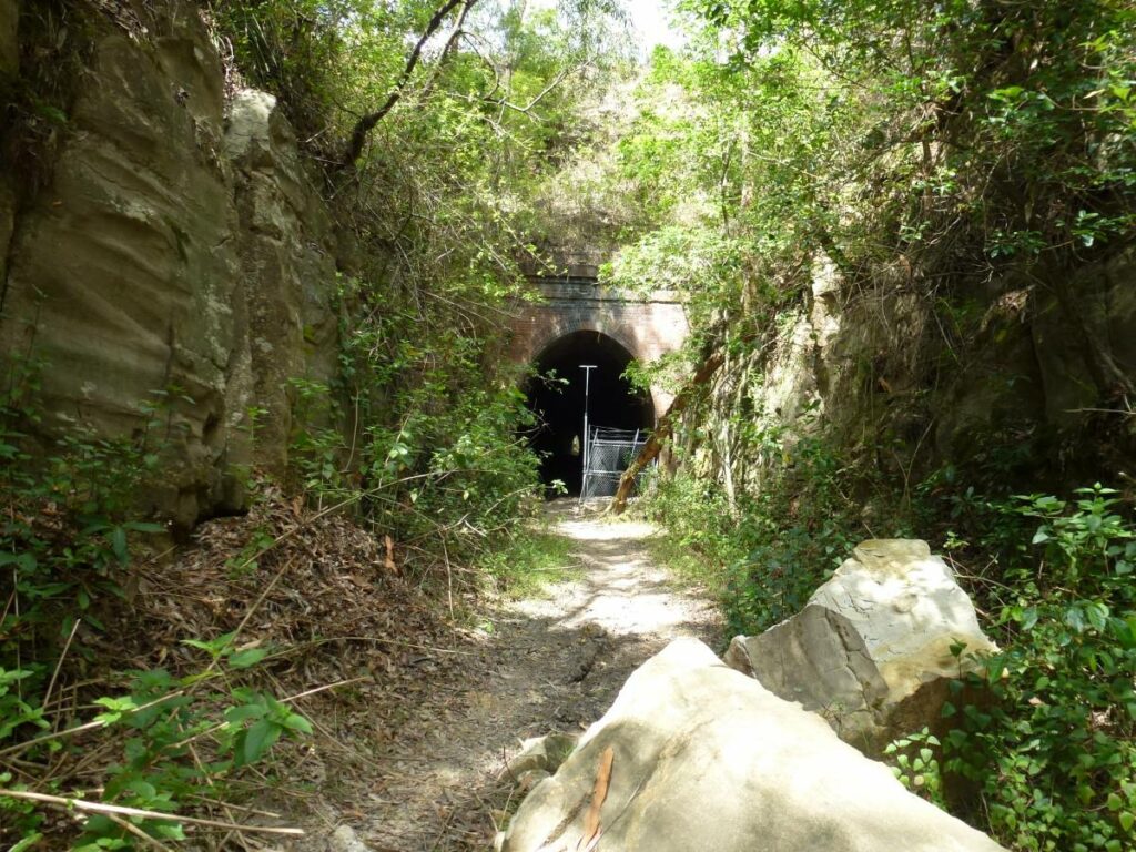
Rail corridor near Sawmillers Reserve

Looking south from Waverton to Sydney's CBD

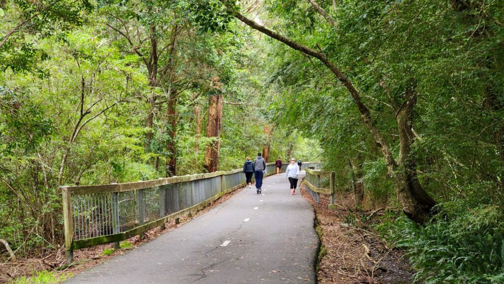
Elevated section in Lavender Bay

Sydney Harbour Bridge view from the rail corridor
This potential rail trail is situated near rail and bus routes in the North Sydney area.
For more information, see the TransportNSW website.
Do you know of a bike hire or transportation service on this rail trail that should appear here? If so, let us know at admin@railtrails.org.au.
Contact Rail Trails Australia
To contact us about this rail trail, email nsw@railtrails.org.au
Background Information
Before the Sydney Harbour Bridge was constructed, Sydney’s north shore rail line from Hornsby ended at Milsons Point and passengers were carried by ferry across Sydney Harbour.
The construction of the bridge in 1932 brought a new higher-level road and rail alignment from Waverton through North Sydney across the harbour, which includes today’s Milsons Point station. The rail sidings at Lavender Bay became a branch line from this new alignment. They are still in occasional operational use today.
Traditional Owners
We acknowledge the Gamaragal people, the traditional custodians of the land and waterways on which the Lavender Bay rail corridor is built.
Nearby Trails
The Goods Line
2 km from the Sydney GPO
1 km


Meadowbank Railway Bridge
15 km west of Sydney
0.5 km
Pippita Rail Trail
19 km west of Sydney, near Sydney Olympic Park

Rosehill to Carlingford Railside Trail
Western Sydney, 23km from Sydney CBD
5 km
Como Bridge
20 km south of Sydney
2 km
Parramatta to Liverpool Railside Trail
25 km west of Sydney CBD
17 km
Lapstone Knapsack Viaduct and Zig-Zag
60 km west of Sydney
1.5 km

Mt Kembla Memorial Pathway
100 km south of Sydney
2 km
Awaba – Wangi Wangi Rail Trail
130 km north of Sydney
Box Vale Tramway Trail
110 km south-west of Sydney, in the Southern Highlands
5 km

Fassifern to Toronto Greenway Track
26 km from Newcastle
4 km
Fernleigh Track
135 km north of Sydney, 5km from Newcastle city centre
16 km
Wolgan Valley Rail Trail
Newnes is 190 km West of Sydney
11 km
Glendale to Wallsend Tramway Track
13 km from Newcastle City
8.5 km
Richmond Vale Rail Trail
160 km north of Sydney, 12 km northwest of Newcastle
Nearby Trails
The Goods Line
2 km from the Sydney GPO
1 km
Meadowbank Railway Bridge
15 km west of Sydney
0.5 km
Pippita Rail Trail
19 km west of Sydney, near Sydney Olympic Park
Rosehill to Carlingford Railside Trail
Western Sydney, 23km from Sydney CBD
5 km
Como Bridge
20 km south of Sydney
2 km
Parramatta to Liverpool Railside Trail
25 km west of Sydney CBD
17 km
Lapstone Knapsack Viaduct and Zig-Zag
60 km west of Sydney
1.5 km
Mt Kembla Memorial Pathway
100 km south of Sydney
2 km
Awaba – Wangi Wangi Rail Trail
130 km north of Sydney
Box Vale Tramway Trail
110 km south-west of Sydney, in the Southern Highlands
5 km
Fassifern to Toronto Greenway Track
26 km from Newcastle
4 km
Fernleigh Track
135 km north of Sydney, 5km from Newcastle city centre
16 km
Wolgan Valley Rail Trail
Newnes is 190 km West of Sydney
11 km
Glendale to Wallsend Tramway Track
13 km from Newcastle City
8.5 km
Richmond Vale Rail Trail
160 km north of Sydney, 12 km northwest of Newcastle

One review of “Lavender Bay “High Line””
We walked along the trail corridor on 16 June 2024, from Luna Park to Waverton via Sawmillers Reserve and back via Wendy Whiteley's Secret Garden. For showcasing Sydney and its harbour, this is a superb potential trail.