
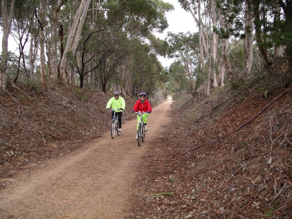
The true rail trail follows just a short section of the former Ballarat East – Buninyong (Bunny) Lbranch line to the Eureka Centre, but you can continue following the alignment of the railway pretty closely along quiet suburban streets, through the Woowookarung Regional Park and Recreation Rd Bushland Reserve to Mt Clear. A loop can get you back to town using the Canadian Creek Trail for a total of 13.5km.
Nearby Attractions
- The Eureka Centre
- Woowookarung Regional Park and sensory trail
- Sovereign Hill heritage centre
- Ballarat Municipal Observatory and Museum
- Lake Wendouree
- Ballarat Tramway Museum
- Ballarat Wildlife Park
- Ballarat-Skipton Rail Trail
Last updated: 26 June 2024
- This trail follows a short section of the former East Ballarat – Buninyong (Bunny) Line from the East Ballarat Station site on Dyte Pde, which is now occupied by a community garden. There is roadside parking and picnic tables here.
- Follow the gravel path east from the station site and, after 500m there is evidence of the line diverging from the main one to head south towards Buninyong.
- The trail uses the partially filled railway cutting under Victoria St. There is an information board at street level on the southern side.
- It continues through the long cutting, across Charlesworth Rd (with rails still in the surface) and alongside a caravan park to the rail trail’s end. There is another information board at the north edge of the Eureka Centre car park.
- Using the map prepared by Friends of Canadian Corridor (link below), walkers and riders can follow more of the railway alignment through quiet suburban streets and the Woowookarung Regional Park, to get to another short section of rail trail
- The Bunny Trail stops at Recreation Rd, Mt Clear, after 7km. You can head back the way you came or complete a 13.5km loop back to Ballarat on the Canadian Creek Trail.
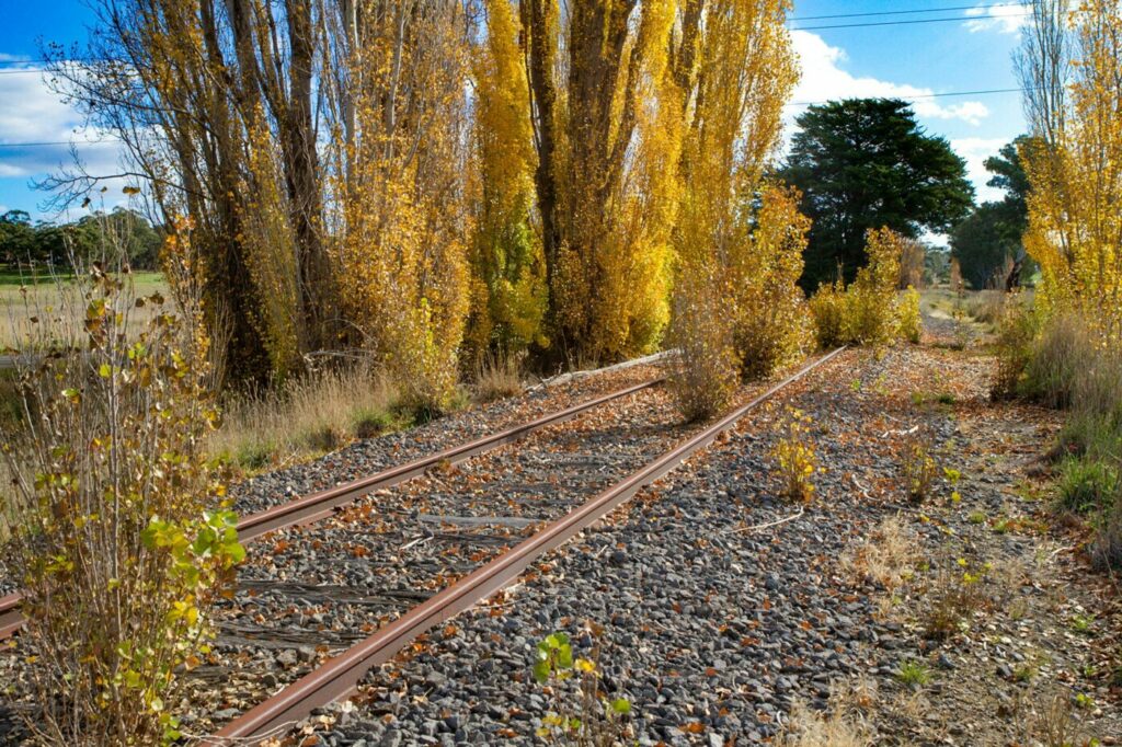
- It you’re passing through Buninyong, you can check out the station platform there and an information board, on Forest St
![Start of the trail near Dyte Pde, on the northern side of Victoria St [2024]](https://www.railtrails.org.au/wp-content/uploads/2020/11/V61-050-Walkers-head-towards-the-underpass-along-the-Bunny-Trail-next-to-Dyte-Pde-East-Ballarat-2024-300x187.jpg)
Start of the trail near Dyte Pde, on the northern side of Victoria St [2024]
![Walking under the southern Victoria St pedestrian bridge [2024]](https://www.railtrails.org.au/wp-content/uploads/2020/11/V61-050-The-trail-goes-under-two-pedestrian-bridges-while-a-subway-has-replaced-the-Victoria-St-road-bridge-inbetween-2024-300x270.jpg)
Walking under the southern Victoria St pedestrian bridge [2024]
![The trail goes under two pedestrian bridges, while a subway has replaced the road one in between [2024]](https://www.railtrails.org.au/wp-content/uploads/2020/11/2141605543842-300x225.jpg)
The trail goes under two pedestrian bridges, while a subway has replaced the road one in between [2024]
![The cutting has been partly filled in to improve drainage [2024]](https://www.railtrails.org.au/wp-content/uploads/2020/11/V61-050-Beyond-Victoria-St-East-Ballarat-the-cutting-has-been-partly-filled-in-to-improve-drainage-2024-300x200.jpg)
The cutting has been partly filled in to improve drainage [2024]
![Heading south through the cutting towards Specimen Vale Creek [2016]](https://www.railtrails.org.au/wp-content/uploads/2022/07/V61-056-East-Ballarat-8008-2016-10-300x169.jpg)
Heading south through the cutting towards Specimen Vale Creek [2016]
![Along the trail approaching Charlesworth St [2011]](https://www.railtrails.org.au/wp-content/uploads/2020/11/5121605543842-300x225.jpg)
Along the trail approaching Charlesworth St [2011]
![Eureka Centre marks start of a redeveloped section of the rail corridor [2024]](https://www.railtrails.org.au/wp-content/uploads/2020/11/V61-100-Eureka-Centre-marks-the-start-of-a-big-gap-in-the-rail-corridor-due-to-residential-development-2024-300x169.jpg)
Eureka Centre marks start of a redeveloped section of the rail corridor [2024]
![Trail returns to the alignment between Wilson and Spencer streets but is not fully developed [2024]](https://www.railtrails.org.au/wp-content/uploads/2020/11/V61-150-The-trail-returns-to-the-railway-corridor-between-Wilson-and-Spencer-streets-where-Levy-Station-was-but-is-not-fully-developed-and-the-bridge-a-little-narrower-than-the-original-2024-300x225.jpg)
Trail returns to the alignment between Wilson and Spencer streets but is not fully developed [2024]
![Modern public transport passes relics at Levy Stn site on Spencer St [2024]](https://www.railtrails.org.au/wp-content/uploads/2020/11/V61-150-Modern-public-transport-passes-decorative-bogie-axles-at-Levy-Station-site-on-Spencer-St-as-houses-take-over-the-rail-corridor-again-to-the-south-2024-300x186.jpg)
Modern public transport passes relics at Levy Stn site on Spencer St [2024]
![Rusty tank north of Elsworth St is all that remains of Canadian railyard [2024]](https://www.railtrails.org.au/wp-content/uploads/2020/11/V61-200-Rusting-fuel-tank-north-of-Elsworth-St-is-all-that-remains-of-the-Canadian-railyard-2024-300x169.jpg)
Rusty tank north of Elsworth St is all that remains of Canadian railyard [2024]
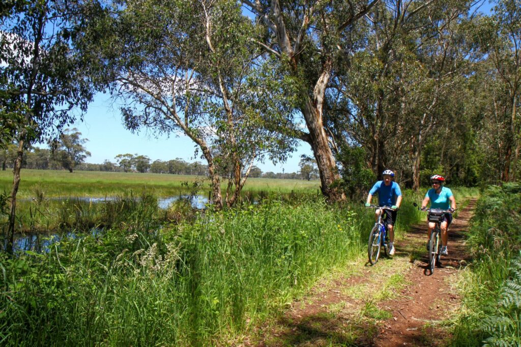
![Nice shade in Recreation Rd Bushland Reserve, Mount Clear [2023]](https://www.railtrails.org.au/wp-content/uploads/2023/10/20231024_100634-300x225.jpg)
Nice shade in Recreation Rd Bushland Reserve, Mount Clear [2023]
![New bridge and remains of the railway one in the reserve [2023]](https://www.railtrails.org.au/wp-content/uploads/2023/10/20231024_101551-300x225.jpg)
New bridge and remains of the railway one in the reserve [2023]

Brick culvert near Bunny Station site, still doing sterling service in 2024
![The platform remains in Forest St, Buninyong, but only 600m of undeveloped railway corridor, as a cutting has been filled in [2024]](https://www.railtrails.org.au/wp-content/uploads/2020/11/V61-350-Buninyong-station-site-2024-06-The-platform-remains-in-Forest-St-but-only-600m-of-undeveloped-railway-corridor-as-the-road-bridge-at-Barkly-St-has-been-removed-and-the-cutting-filled-in-300x169.jpg)
The platform remains in Forest St, Buninyong, but only 600m of undeveloped railway corridor, as a cutting has been filled in [2024]
Do you know of a bike hire or transportation service on this rail trail that should appear here? If so, let us know at admin@railtrails.org.au.
Information and Links
If you find any defects with this trail contact Ballarat City Council (03) 5320 5500
More information on the Bunny Loop, describing historical features of the former railway, is available by downloading the following two PDFs provided by the Friends of Canadian Corridor.
Bunny Trail Loop brochure here.
Buninyong branch line history here.
Contact Rail Trails Australia
To contact us about this rail trail, email vic@railtrails.org.au
Background Information
This trail was a branch line from East Ballarat to Buninyong and ran for 11km. It opened in 1889, with passenger services ending in 1930, the section from Eureka to Buninyong closed to goods trains on 2 February, 1947, and the tiny remainder to Eureka in 1986. In its heyday, the “Bunny” brought raw materials to the many Buninyong industries, with the main ones being a butter factory, tannery, brewery, box factory and market gardens. Much of the railway corridor has been sold but, in 2023, there was a major breakthrough when a short section of the rail easement near Woowookarung Regional Park was purchased by the City of Ballarat to bring the Bunny Trail through to Recreation Rd, Mt Clear.
At the Buninyong end of the line, the platform can still be seen in Forest Rd, where there is an information board and a bogie axle.
Buninyong Rail Trail makes progress
Posted: 23/05/23
The Bunny Rail Trail is a new trail under development between Ballarat and Buninyong in ...
More...Friends group receives grant to construct new rail trail section in Ballarat
Posted: 08/07/22
The Friends of Canadian Creek situated in Ballarat, has received a $33,000 community bank grant. The ...
More...Nearby Trails
Ballarat – Skipton Rail Trail
110 km north west of Melbourne
57 km


Woodend to Daylesford (incl Domino) Rail Trail
85 km north west of Melbourne
6 km
Castlemaine to Maryborough Rail Trail
Central Victoria, 124 km from Melbourne


Castlemaine to Maldon Railside Trail
120 km north west of Melbourne
18 km
Fyansford Rail Trail
North Geelong, 5 km from town centre
4.4 km
Bellarine Rail Trail
Bellarine Peninsula, 75 km southwest of Melbourne's CBD
35 km

Meadowlink Rail Trail
Broadmeadows, 20 km north of CBD
1.2 km
Webb Dock Bridge
Docklands, 1 km from Melbourne CBD
0.2 km
O’Keefe Rail Trail
East of Bendigo, 150 km from Melbourne
50 km
Sandridge Railside Trail
Melbourne city, 1 km from GPO
4 km

Inner Circle Rail Trail
Inner suburbs, 5 km from the CBD
4.8 km
Tiger Rail Trail
136 km south west of Melbourne
4.4 km
Hawthorn to Kew Rail Trail
Inner suburbs, 9 km east of Melbourne CBD
1 km
Outer Circle Rail Trail
Eastern suburbs, 6 km from Melbourne CBD
17 km
Rosstown Rail Trail
Southern suburbs, 9 km from the CBD
8.8 km

Old Beechy Rail Trail
Otway Ranges, 152 km south west of Melbourne
37 km
Camperdown – Timboon Rail Trail
160 km south west of Melbourne
41 km
Nearby Trails
Ballarat – Skipton Rail Trail
110 km north west of Melbourne
57 km
Woodend to Daylesford (incl Domino) Rail Trail
85 km north west of Melbourne
6 km
Castlemaine to Maryborough Rail Trail
Central Victoria, 124 km from Melbourne
Castlemaine to Maldon Railside Trail
120 km north west of Melbourne
18 km
Fyansford Rail Trail
North Geelong, 5 km from town centre
4.4 km
Bellarine Rail Trail
Bellarine Peninsula, 75 km southwest of Melbourne's CBD
35 km
Meadowlink Rail Trail
Broadmeadows, 20 km north of CBD
1.2 km
Webb Dock Bridge
Docklands, 1 km from Melbourne CBD
0.2 km
O’Keefe Rail Trail
East of Bendigo, 150 km from Melbourne
50 km
Sandridge Railside Trail
Melbourne city, 1 km from GPO
4 km
Inner Circle Rail Trail
Inner suburbs, 5 km from the CBD
4.8 km
Tiger Rail Trail
136 km south west of Melbourne
4.4 km
Hawthorn to Kew Rail Trail
Inner suburbs, 9 km east of Melbourne CBD
1 km
Outer Circle Rail Trail
Eastern suburbs, 6 km from Melbourne CBD
17 km
Rosstown Rail Trail
Southern suburbs, 9 km from the CBD
8.8 km
Old Beechy Rail Trail
Otway Ranges, 152 km south west of Melbourne
37 km
Camperdown – Timboon Rail Trail
160 km south west of Melbourne
41 km

4 reviews of “Bunny Trail”
Had a lovely ride through Ballarat but not sure if I followed the Bunny Loop map. Found the FOCC map hard to follow as did not include all street names. Couldn’t find numbered items in Google Maps either. A signposted trail would be great but, if not possible due to funding constraints etc, simply walking or cycling the trail with Google Maps and adding the numbered features into Google Maps would be a great help for visitors.
Easy to follow path in Ballarat East. Easy walk, lots of people walking their dogs. Parking at Eureka Centre. Very convenient, being close to home
I agree with the last comment. The trail is still in good condition but way too short.
I quickly rode this trail today (29th December 2014), on the way home from doing the Domino Trail – so I could tick it off the list. This is a very short trail that basically goes from the rail reserve on the main train line of Ballarat to the Eureka Centre. The trail surface is good compact dirt most of the way, and easy handle hybrid (and even road bikes if needed). The most interesting part is when the trail goes under the rail lines and the main road. However, with no plans to extend it – I can’t see this trail being used by anyone apart from the locals, and those attempting to do all of the rail trails.