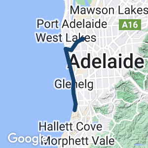
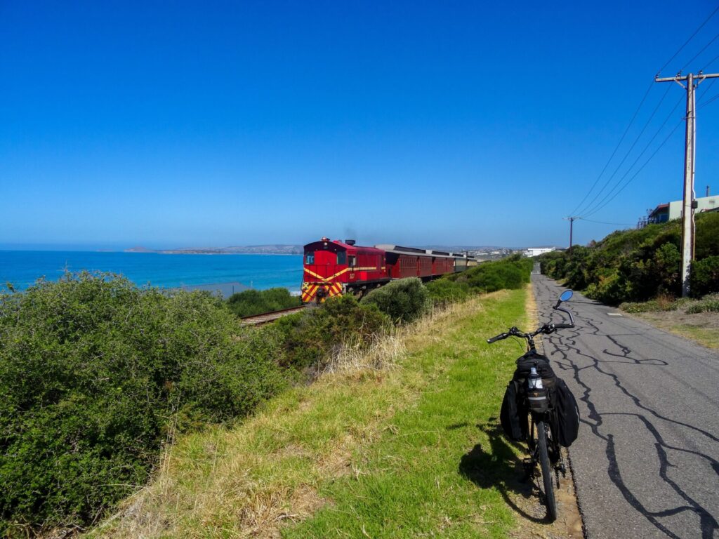
This is an excellent trail that follows three railway lines that were never able to link together. Perhaps the best feature of this trail is that it follows 17km of sandy beaches on the western side of Adelaide. The trail is enjoyable to ride, with many locations to stop and enjoy the reserves and beaches along its length. It is a treat for all the family. The trail forms part of the Coast Park Trail which, on completion, will extend 70km along the coast from Outer Harbour in the North to Sellicks Hill in the South.
Nearby Attractions
- The Coast Park Rail Trail is a great day or weekend destination located on the coastal beaches of Adelaide.
- The track has a sealed surface and is very flat
- There are excellent reserves and recreation areas along the trail as well as kiosks, cafes and hotels.
- The trail passes four jetties which are accessible if you walk your bike.
- Grange Jetty precinct, Henley Square, Glenelg’s Jetty Road and Brighton’s Jetty Road are excellent dining precincts located along the trail.
- The trail links with several other off-road trails that lead back to Adelaide or further along the coast.
- The Bay Discovery Centre is a seaside museum and information centre, located adjacent to the trail at Jetty Road Glenelg. The centre is well worth the visit, particularly if you are a tourist riding along the trail. More information can be found here
Last updated: 14 February 2024
The Coast Park Rail Trail is divided into three sections that relate to the three separate railway lines that were never connected as originally planned in the 1880s. Access from Adelaide to the coast was a significant problem from settlement due to the ‘low swampy reed country’ (wetlands) which extended along the coastal sand dune system for the majority of the length of trail. While it was a beautiful and bountiful natural wetland, the early colonists managed to drain it within a few decades of settlement and in doing so created sand drifts that destroyed two of the three railways.
The Coast Park Rail Trail consists of three sections:
- The Woodville (Outer Harbour Rail Trail) to Grange section is 7km in length and is a rail side trail that follows the operational railway line, which was originally a privately owned railway, through suburbia to the coast at Grange.
- The Grange to Glenelg section is 10km in length and travels along the coast approximately 100m west of the original location of the Grange to Glenelg railway. The trail is paved and sits on the edge of a reclaimed embankment which provides excellent views of the coast.
- The Glenelg to Marino section is 7km in length and travels along the coast and through sections of sand hills on which the railway was constructed.
Section Guides
Woodville to Grange (6.5km) opened 1882
Unfortunately, this description is lengthy because the signage along the Woodville to Grange trail is poor. This issue has been raised with the trail manager.
- Cross the railway lines from the Outer Harbor Rail Trail at Woodville Railway Station and then follow the curving Rowley Terrace until you reach Port Road. There is a pedestrian actuated crossing which will lead you over Port Road. Once over Port Road ride a few metres toward the railway line and then turn left and follow the trail adjacent to the railway.
- Follow the Path until you reach May Street where you will need to turn left and continue following May Street, turning right into Alma Terrace and follow it until it ends at Todville Street.
- Cross Todville Street using the crossing lights and then follow the path through the new housing development until you again reach Alma Terrace. Just prior to the roundabout at the junction of Alma Terrace and Levistone Street, take the path on the right and follow it to the railway pedestrian crossing on the right. Once over the railway line turn left and follow the Clark Terrace path to the junction of Trimmer Parade and Tapleys Hill Road
- At the traffic lights, cross Trimmer Parade and then Tapleys Hill Road. Turn left and follow the footpath along the edge of the Royal Adelaide Golf Course and then right into Meakin Terrace. Cross Frederick Road and then proceed along Westmoreland Road to Beach Street.
- Turn right onto Beach Street and use the footpath on right hand side of the road to cross the creek. Just over the creek turn right into Napier Drive and follow the path along the creek until you come to the railway line. The house constructed by the explorer Charles Sturt in 1840, known as ‘The Grange’, is a short distance along Napier Drive.
- Once at the railway line turn left into Terminus Street and continue onto Grange Railway Station.
- At the end of Terminus Street, turn left onto Charles Sturt Avenue and then right onto Baker Street. Take the path on the right at the bend in Baker Street and follow it along the railway until you reach Military Road.
- Turn right onto the Military Road footpath and follow it to the pedestrian crossing near the service station. Cross Military Road at the crossing and turn right and, using the footpath, move along Military Road a short distance until you come to Terminus Street. Ride up the rise (once the coastal dune), past Seaview Road (believed to be the alignment of the Grange to Glenelg railway) until you come to the coast. Turn left onto the coast path (on the sea side of the Esplanade) and follow it to the Grange Jetty, which is the beginning of the Grange to Glenelg section.
Grange to Glenelg (10km) constructed 1882 abandoned 1883
- A railway was constructed along the coast, in the sand dunes and between Military Road and the foreshore, from Grange to Glenelg to assist with the building of Military Road. This 10km railway was said to be used for transporting materials to assist with the building of Military Road which would link military forts along the coast. Surprisingly, 4km of the railway was removed after completion of the road works. The remaining 6km was left in position but gradually disappeared into the moving coastal dunes. The railway was often referred to as ‘the mystery railway’ or the railway that ‘never was’.
- Follow the shared use path along the foreshore. Please note that this path is a shared use path which can be very busy during weekends. The following are points of interest along this section of path.
- Grange and Henley Beach Jetties
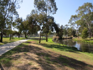
- River Torrens outlet – The River Torrens Linear Park shared use path commences at this location and runs eastward for 12km to the Adelaide CBD and then a further distance of 20km to the Adelaide Hills.
- Immediately south of the West Beach Boat ramp there is a 700m section of path within a sand dune (there is often sand over the path). Over the sand dune is a waste water treatment plant which was the original site of the temporary Fort Glenelg. In 1956, during construction works, the original railway line was unearthed within this site.
-
- When the trail reaches the Patawalonga River, the Glenelg Wier provides a crossing point. Please walk your bike along the weir. Once over the weir turn left and then right and proceed toward the open reserve in the distance. Ride between the reserve and the apartment building on the coast and then turn left to return to the coastline.
Glenelg to Marino (7km) opened 1879 abandoned 1880
Jetty Road, Glenelg was the terminus for the Adelaide to Glenelg Railway (constructed in 1873) and it is still operating as a tram service to Adelaide. The Glenelg to Marino Railway was never technically connected to the Adelaide to Glenelg Railway due to political and financial issues, not to mention personal feuds between local residents and the owners of the railway. Add to that the monumental difficulties of running a train through sand hills and it is plain to see that this privately owned railway was never meant to be.
Points of interest along this section are
- Glenelg and Brighton Jetties
- Minda Costal Park – immediately south of the Somerton Surf Lifesaving Club the trail travels through a small section of the original costal sand dunes.
- Just beyond the Brighton Beachfront Holiday Park near the end of the trail, there is a café and the remains of Tjilbruke Spring. The spring, which still flows slowly today, once fed a substantial freshwater pond adjacent to the coast. This site forms part of the Kaurna people’s Tjilbruke Dreaming Story.
Side Trails
Grange Lakes Corridor Shared Use Path – Adelaide to Henley Beach / Grange Tramway – opened 1882 closed 1957
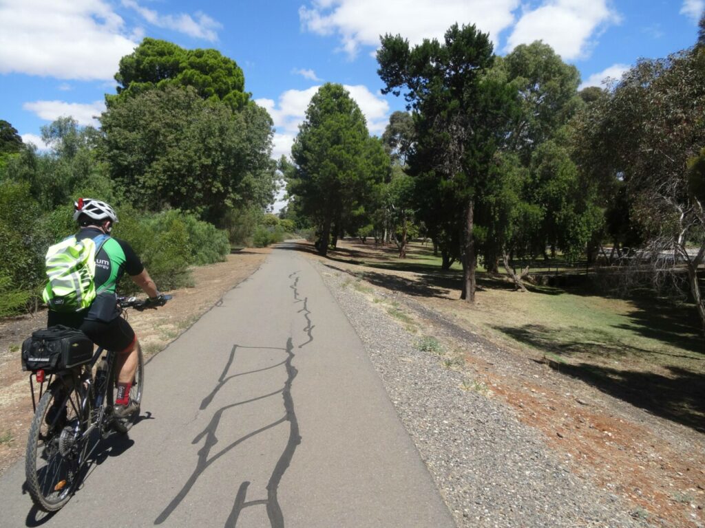
Competition was king in the early days of the colony and there was money to be made from railways/tramways but more often than not, money was lost. When the above privately owned railways were being constructed a privately owned tramway was constructed from Adelaide to Henley Beach in 1882. At one stage the tramway and the railway terminated next to each other. While there are no remains of the tramway, there is an unused rail corridor which runs parallel to the Port River and intersects with the Woodville to Grange section of the rail trail mentioned above. This trail, which is known as the Grange lakes Corridor Shared Use Path, extends through to Trimmer Parade and provides excellent, safe cycling with plenty to see along the way.
Other Trails that connect with the Coast Park Rail Trail
- Outer Harbor Rail Trail. The Coast Park Rail Trail starts from the Woodville Railway Station which is adjacent to the Outer Harbour Rail Trail. It is therefore possible to cycle from the Adelaide CBD along the Outer Harbour Rail Trail and then follow the Coast Park Rail Trail from Woodville.
- River Torrens Linear Park shared use trail. Approximately 11 km from the commencement of the Coast Park Rail Trail, the River Torrens discharges into the sea. At this point the River Torrens Linear Park shared use path commences and heads to the Adelaide CBD (12km) and then onto the Adelaide Hills (20km).
- Mike Turtur Rail Trail. This trail connects Glenelg with the Adelaide CBD and it also connects with the Westside Rail Trail and the Sturt Linear Park shared use path.
- Coast to Vines Rail Trail and Marino Rocks Rail Trail. At the end of the Coast Park Rail Trail, at Marino Rocks, you can ride up the hill using Burnham Road, Strickland Road and then turn right on to Bandon Terrace. You can then follow the Bandon Terrace (the Marino Rocks Rail Trail) and turn right into Jervois Terrace then left into The Cove Road which can be followed until, opposite Emma Street, the Coast to Vines Rail Trail commences on the left. The distance between the end of the Coast Park Rail Trail and the commencement of the Coast to Vines Rail Trail is 1.4km with a 40m climb in the first 400m. Sometimes it’s better to walk.
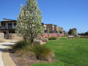
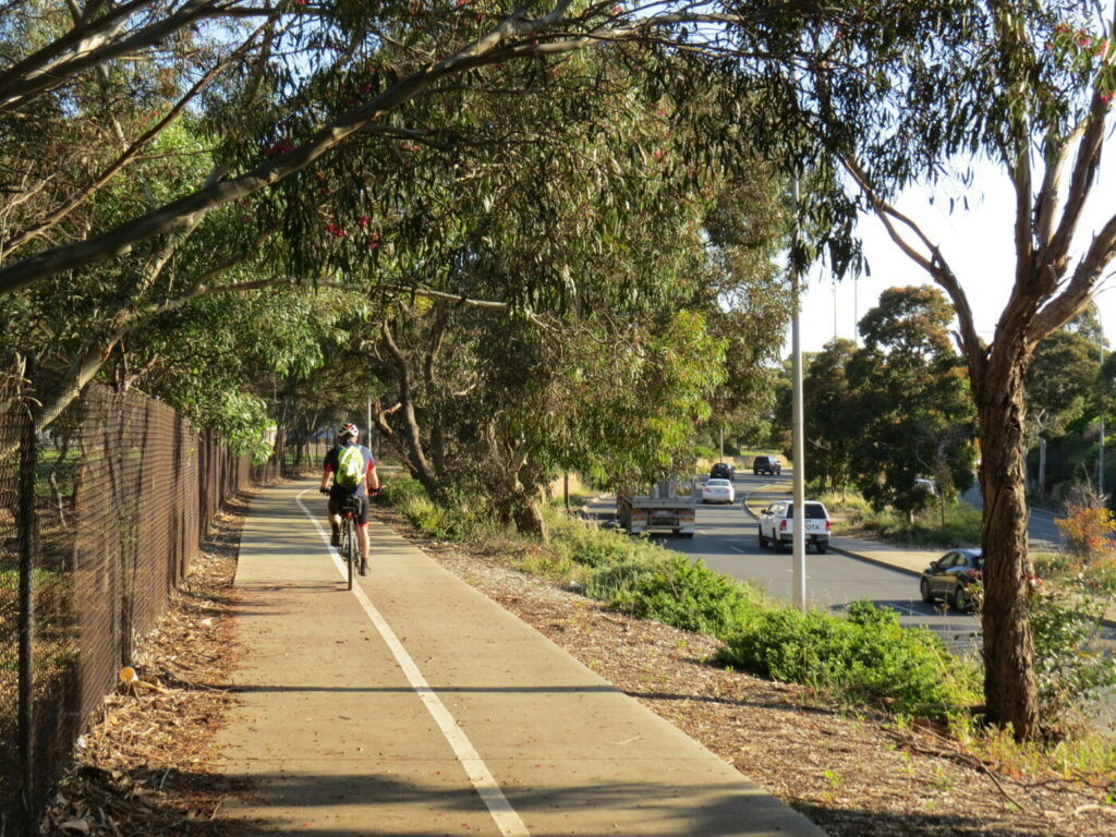
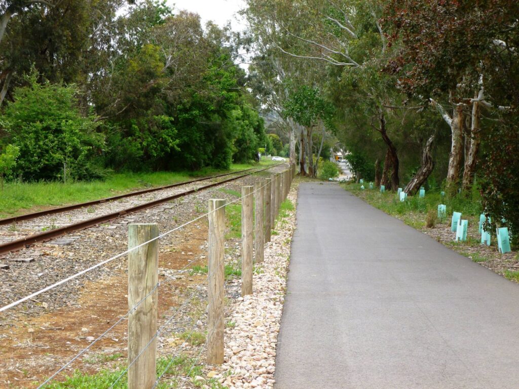
trail passes through new housing development at Woodville West - Oct 23
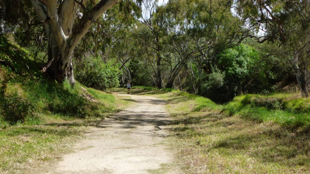
the trail meanders along the old tram corridor toward Grange - Oct 23
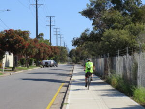
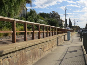
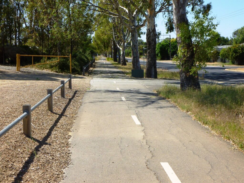
Meakin Terrace footpath has been widened to become a shared use path - Oct 23
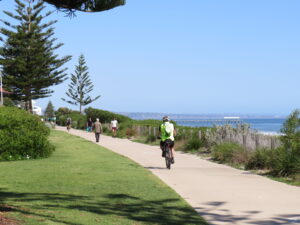
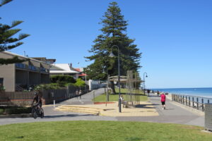
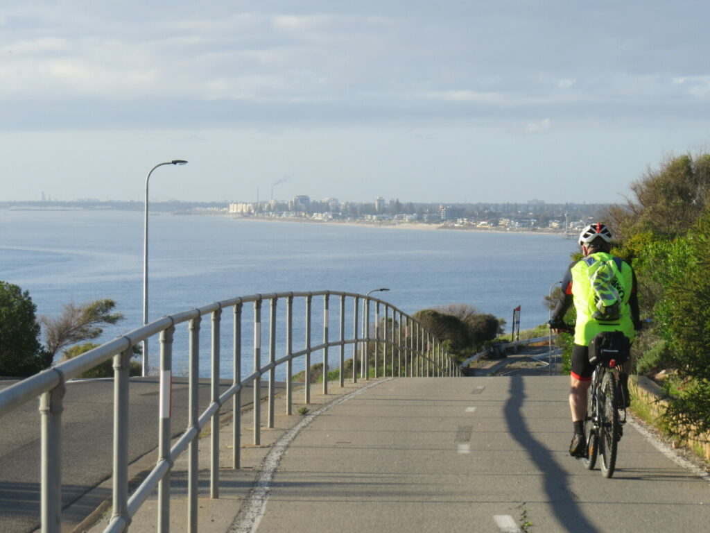
heading toward the Henley Beach Jetty - Oct 23
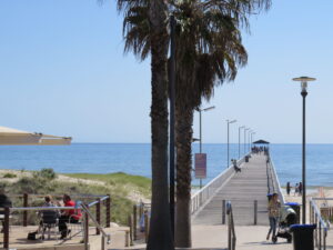
Grange Jetty. Photo taken standing on the trail - Oct 23
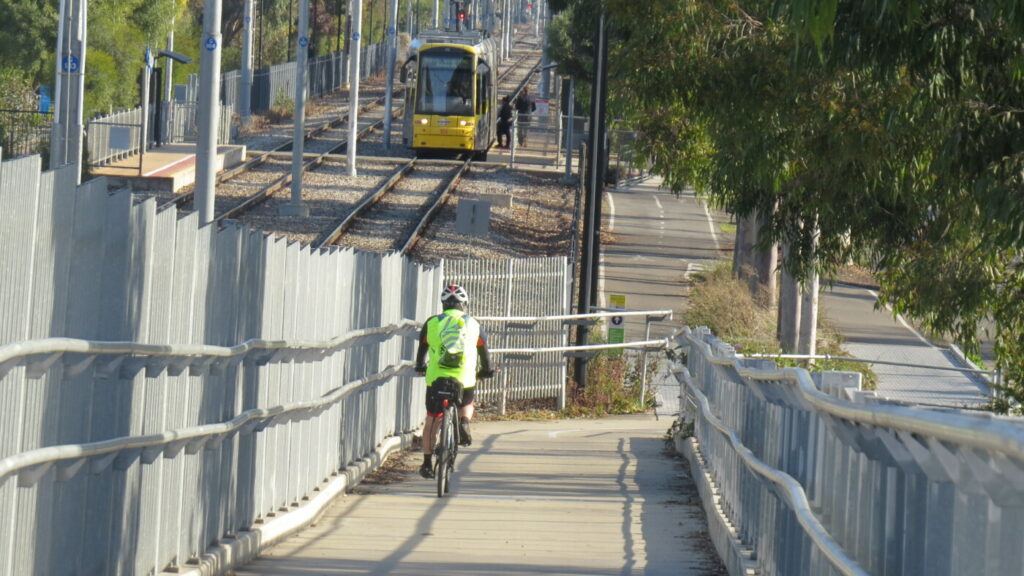
Grange Station platform which is now part of the Military Road footpath - Oct 23
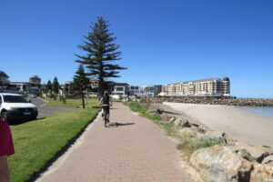
approaching Glenelg - Oct 23
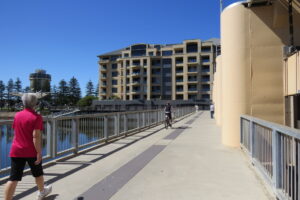
crossing the Patawalonga River weir at Glenelg - Oct 23
Glenelg foreshore showing a sensible path design with cyclists on the left path and walkers on the seaside path - Oct 23
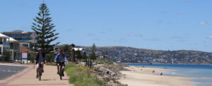
Approaching Brighton Jetty - Oct 23
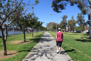
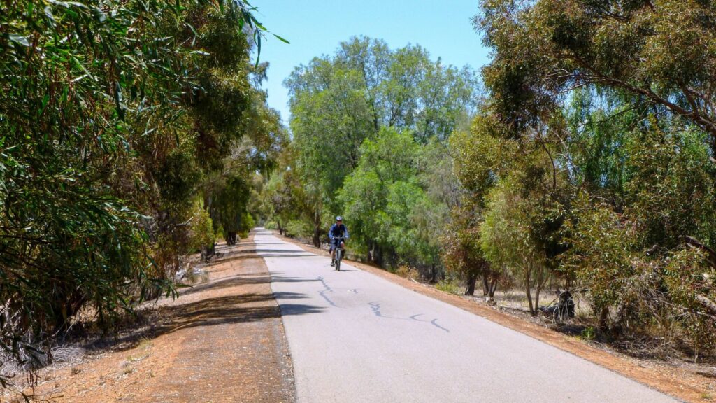
Grange Lakes Corridor which was originally planned to be a railway corridor - Oct 23
Do you know of a bike hire or transportation service on this rail trail that should appear here? If so, let us know at admin@railtrails.org.au.
Information and Links
See Services tab above for links to services and businesses along this trail
For further information, or to report any problems, please see contacts below:
City of Holdfast Bay Ph: 08 8229 9999 website www.holdfast.sa.gov.au
City of Charles Sturt Ph: 08 08 8408 1111 or website www.charlessturt.sa.gov.au
City of Holdfast Bay – Glenelg to Marino path information https://www.holdfast.sa.gov.au/discover-our-place/glenelg-to-seacliff-coastal-walk
Walking SA Coastal Park information Coast Park Path
Contact Rail Trails Australia
To contact us about this rail trail, email sa@railtrails.org.au
Background Information
Traditional owners
We acknowledge the Kaurna meyunna people, the traditional custodians of the land and waterways on which the Coast Park Rail Trail is constructed.
Rail line history
Witongga is the Kaurna meyunna peoples name for the reed beds that once existed along the Adelaide coast line from Glenelg to the Port River estuary, a distance of 8km. Water from creeks and rivers collected in the reed bed wetlands and provided a fertile and bountiful home for the Kaurna meyunna people.
For the colonists, the reed beds were a barrier that prevented convenient access between the coast and Adelaide. Private companies were formed to construct railways to the coast but Witongga was not going to give up without a fight.
Two privately owned tramways (only Government owned lines could be called railways) and one Government railway were constructed along the coast between 1879 to 1883 and while they ended within metres of each other they were never connected.
Woodville to Grange Railway (spur line from the Outer Harbour Railway to Grange) 6.5km
The Grange line was constructed by a private company to encourage people to invest in land in the Grange area. The line was built away from the reedbeds and crossed over the Port River estuary. The line was opened in 1882 and linked Grange to Adelaide, Port Adelaide and the two coastal forts of Glanville and Largs. It was in financial trouble by 1891 and was taken over by the South Australian Railways and later extended to Henley beach. The line still operates today but terminates at Grange.
Grange to Glenelg Railway (1882 to 1883) 10km
As a result of community concern relating to a possible invasion by the Russian Navy, the South Australian Government commissioned several reviews on the best options for protecting the Colony from invasion. The favoured option was the construction of four coastal forts. This plan was slowly implemented, after years of procrastination, and Fort Glanville was constructed in 1880 and Fort Largs in 1884. Fort Glenelg amounted to some guns placed amongst sand bags while the concept of a fort at Marino was abandoned. It was always believed that the forts would be connect by a railway along the coast. The Government finally acted in 1882 and ordered the construction of a road from Glenelg to Grange. A railway was to be constructed to assist with the construction of the road as it would be constructed in sand and swamp areas between the coastal dune and the reedbeds. The project was completed by 1883 and the railway was then abruptly removed. The Glenelg community protested and implored the Government to retain the railway for passenger, freight and security services, after all, it was intended that it would service the forts along the coast. The Government stopped removal of the line leaving 6km intact. The remaining line was never used and was slowly consumed by sand drifts. The fort at Glenelg remained a temporary structure and was never used. The road was named Military Road and was often blocked by sand drifts or flooded during winter but it still remains in use today. In 1956 workers unearthed a section of the railway at Glenelg and it became known locally as the Mystery Railway, why it was built and why it was removed are still a mystery.
Glenelg to Marino Rocks Tramway (January 1879 to April 1880) 7km
The line was constructed to transport construction materials from quarries to Adelaide and the provide a public transport service to the southern beaches. Political interference and complaints from the people of Glenelg meant that the only route for the rail corridor was through the sand dunes on the edge of the coast. The service was terminated after operating for 16 months due to poor patronage, damage caused to the line by sand drifts and the unfortunate death of three passengers in two separate accidents. The lines were removed and the rolling stock sold.
Adelaide to Henley tramway (1883 to 1957) 12km
While this tramway is not connected with the Coast Park Rail Trail it is interesting in that it crosses the reedbeds. The Reedbeds were subject to seasonal flooding and the horse drawn tram, which operated along Henley Beach Road, would cease operation until the floodwater receded. It wasn’t until 1909, when electrification of the tram line was proposed, that an 860m long and 2.3m high timber viaduct was constructed to ensure that the tram could pass over the reedbeds, even during floods. The structure worked however the floods brought down silt that raised the ground level so the following years floods were higher. Finally, the flood waters topped the viaduct, termites began to enjoy the timber structure and bus transport became more reliable.
In total 6 tram and railway lines were constructed either to the coast or along the coast between 1879 and 1880
Development and future of the rail trail
The rail trail is fully developed however there are plans to improve the Woodville to Grange section of the trail and possibly relocate sections of the trail closer to the existing rail corridor.
The Grange Lakes Corridor Shared Use Path is being continually redeveloped and extended. It is planned that the corridor will extend southward to connect with the River Torrens Linear Park Shared Use Path.
The Coast Park Shared Use Path extends northward from Grange for a short distance however there is a 5km section of coast that currently does not have a shared use path. The first section of the shared use path has been completed and it is anticipated that the remainder of the path will be constructed by 2025. On completion of this 5km section, the Coast Park Trail will be 32km in length, which includes 18km of Rail Trail.
Nearby Trails
Westside Bike Path
2km West of Adelaide.
9 km


Mike Turtur Bikeway
Between Adelaide city and Glenelg
9 km
Marino Rocks Rail Trail
Marino Rocks
16 km
Outer Harbour Rail Trail
Port Adelaide, 20km north west of Adelaide
23 km
Stockade Rail Trail
Pooraka, 11km north of Adelaide
2.6 km
Coast to Vines Rail Trail
Southern Adelaide Suburbs
37 km

Parafield Rail Trail
15km north of Adelaide
3 km
Penfield Rail Trail
Northern suburb of Adelaide
7 km
Mount Barker Rail Trail
33km southeast of Adelaide
5 km
Smithfield Magazine Rail Trail
Smithfield Plains, 33kms north of Adelaide
3.5 km
Adelaide Hills Amy Gillett Rail Trail
Mount Lofty ranges, 49km east of Adelaide
16 km
Barossa Rail Trail
Barossa Valley - between Gawler and Angaston
43 km
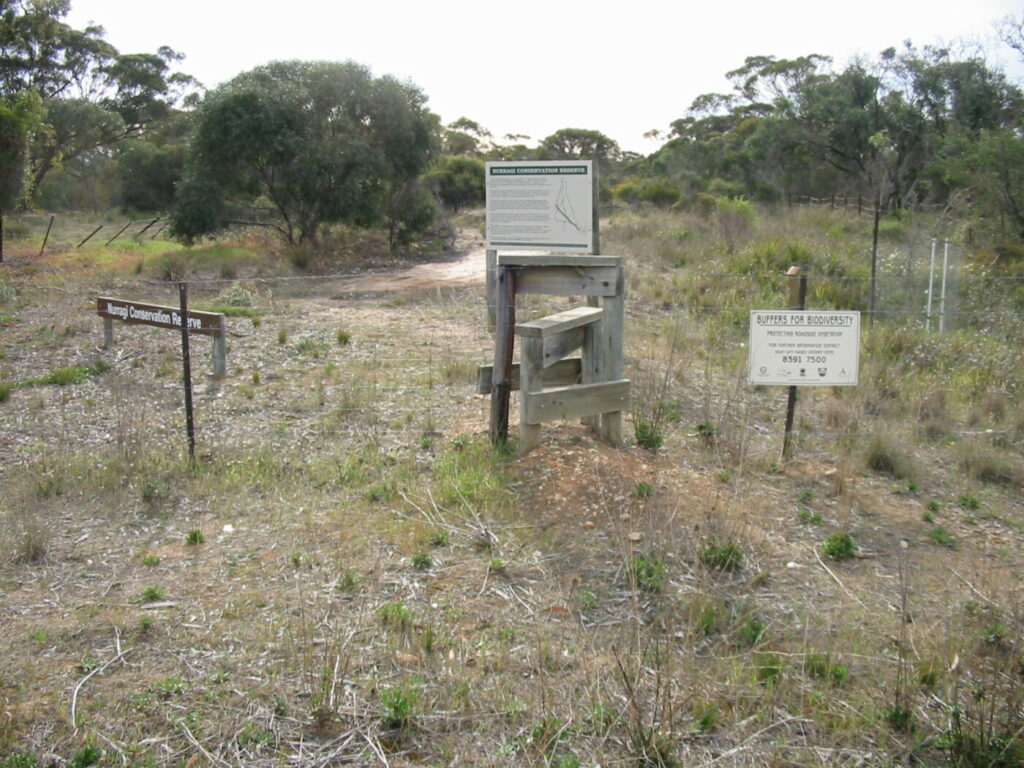
Nurragi Conservation Reserve
Milang approx 70km south east of Adelaide
12 km
Encounter Bikeway
Between Goolwa and Victor Harbour on the Fleurieu Peninsula 90km south of Adelaide
28 km
Kapunda Rail Trail
78km north of Adelaide
1 km
Eudunda Rail Trail
112km north of Adelaide
1 km
Copper Rail Trail
100km north of Adelaide
26 km
Riesling and Rattler Rail Trail
130km north of Adelaide
53 km
Shamus Liptrot Rail Trail
100km north of Adelaide
11 km

Nearby Trails
Westside Bike Path
2km West of Adelaide.
9 km
Mike Turtur Bikeway
Between Adelaide city and Glenelg
9 km
Marino Rocks Rail Trail
Marino Rocks
16 km
Outer Harbour Rail Trail
Port Adelaide, 20km north west of Adelaide
23 km
Stockade Rail Trail
Pooraka, 11km north of Adelaide
2.6 km
Coast to Vines Rail Trail
Southern Adelaide Suburbs
37 km
Parafield Rail Trail
15km north of Adelaide
3 km
Penfield Rail Trail
Northern suburb of Adelaide
7 km
Mount Barker Rail Trail
33km southeast of Adelaide
5 km
Smithfield Magazine Rail Trail
Smithfield Plains, 33kms north of Adelaide
3.5 km
Adelaide Hills Amy Gillett Rail Trail
Mount Lofty ranges, 49km east of Adelaide
16 km
Barossa Rail Trail
Barossa Valley - between Gawler and Angaston
43 km
Nurragi Conservation Reserve
Milang approx 70km south east of Adelaide
12 km
Encounter Bikeway
Between Goolwa and Victor Harbour on the Fleurieu Peninsula 90km south of Adelaide
28 km
Kapunda Rail Trail
78km north of Adelaide
1 km
Eudunda Rail Trail
112km north of Adelaide
1 km
Copper Rail Trail
100km north of Adelaide
26 km
Riesling and Rattler Rail Trail
130km north of Adelaide
53 km
Shamus Liptrot Rail Trail
100km north of Adelaide
11 km