
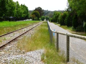
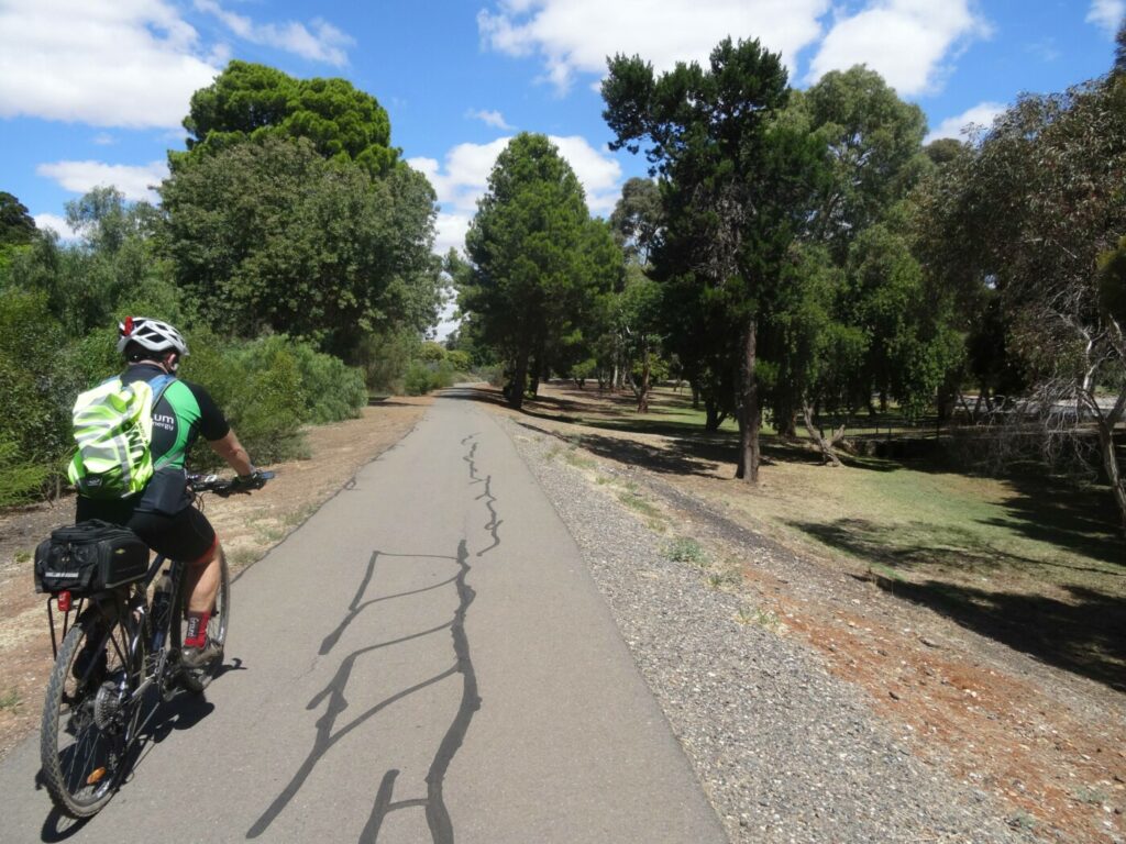
- The trail is a pleasant path adjacent to the railway line. It has easy grades and is ideal for children and novice riders.
- SteamRanger Heritage Railway.
- Laratinga Wetlands Trail.
- Bluestone Linear Park.
- Newenham Linear Park Trail.
Nearby Attractions
- Old station building
- SteamRanger Heritage Railway
- Laratinga Wetlands Trail
- Bluestone Linear Park
- Newenham Linear Park Trail
- Amy Gillett Trail nearby
Last updated: 14 June 2024
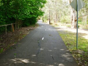
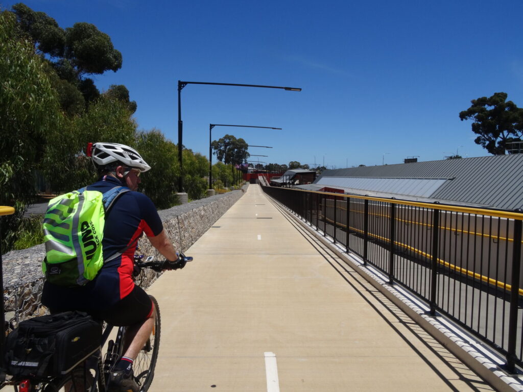
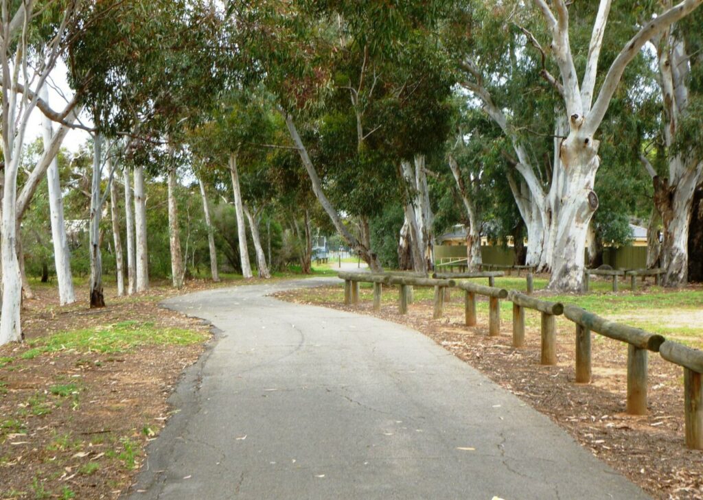
The Mount Barker Rail Trail features a mostly smooth sealed surface of good width. There are two blocks of good gravel path. It is a useful off-road route for cyclists, walkers and runners, linking the town centre with several wetland areas and numerous suburbs. The Amy Gillett Trail is just 10km north by road.
There are food outlets and supermarkets in the nearby main street and food outlets and toilets in the adjacent Homemaker Centre.
Section Guides
Childs Rd to Gawler St (1.9km)
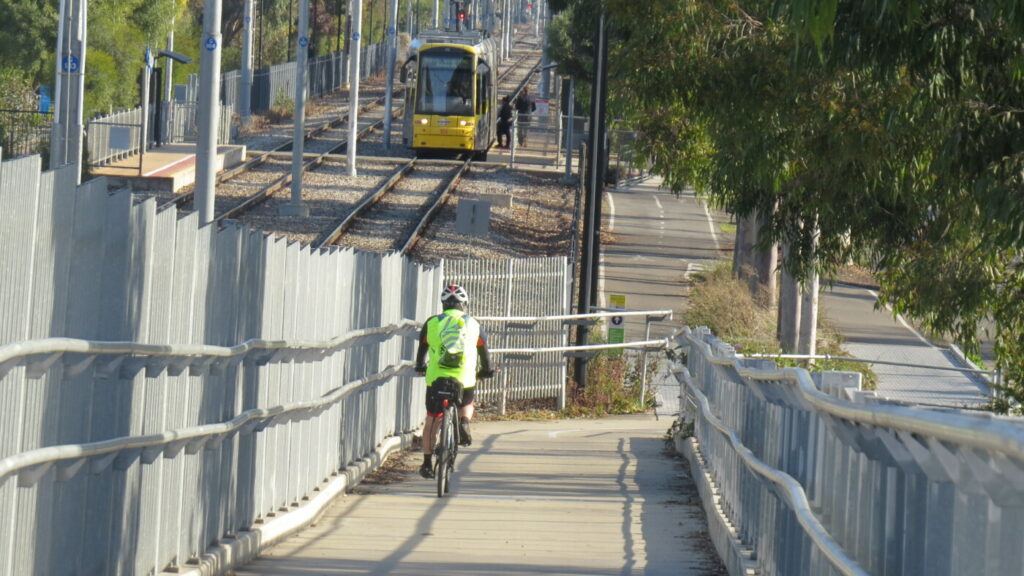
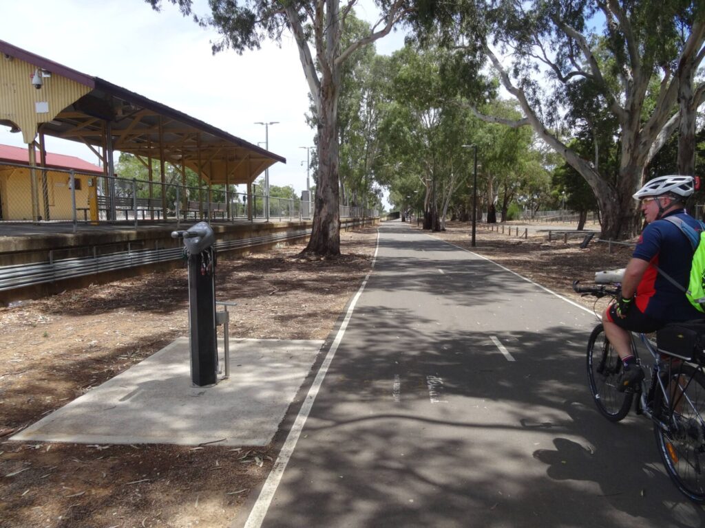
The trail starts at the northern end of Childs St, Littlehampton. A pedestrian tunnel under the South Eastern Freeway links to Childs St, Mt Barker. Some on-street parking is available in both locations. Alternatively there is ample parking available at the Mount Barker Railway Station.
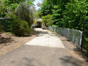
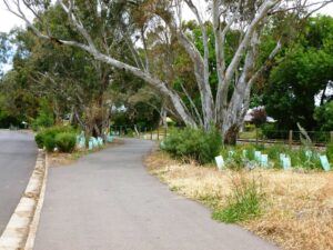
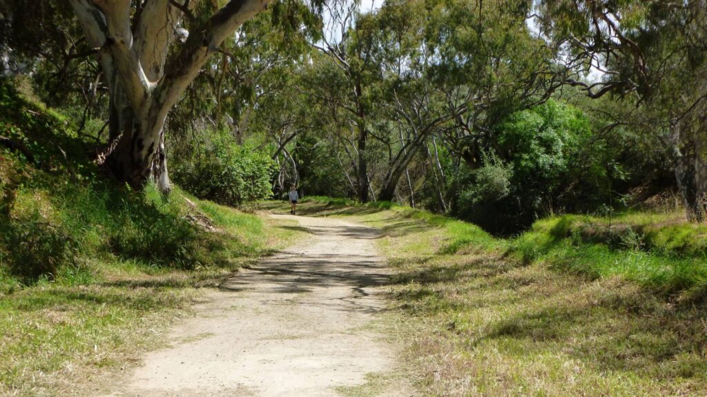
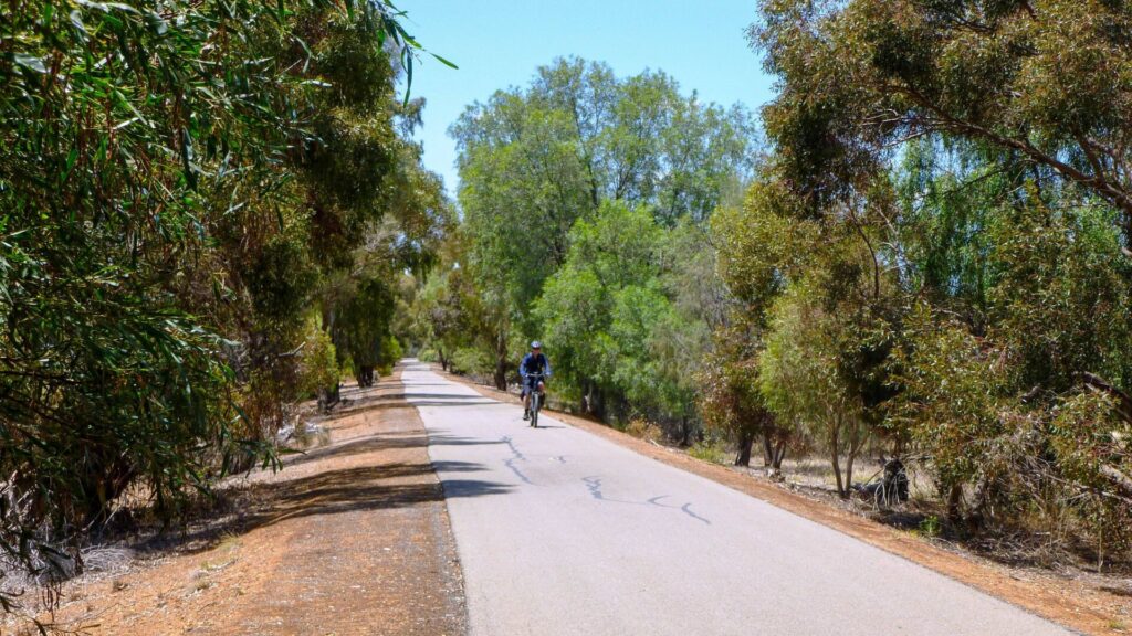
The first 400m is new concrete path of good standard. After passing under the freeway in a pedestrian tunnel, the trail turns right and descends sharply between a housing estate and the freeway embankment before passing under the railway line and immediately turning left to follow the railway line. The good quality path then passes alongside the Purtinga Wetlands before exiting onto a roadside path. Crossing Cameron Rd near a disused rail crossing, the path turns right to follow Cameron Rd briefly, separated from traffic by steel fencing, then crosses the caravan park access road and a bridge over a creek. The winding trail passes through lush vegetation following the creek for the next kilometre, separated from the railway line by the caravan park and a transport depot. At Gawler St there is access to the town centre to the right or the Homemaker Centre, Railway Station and SteamRanger Depot to the left.
Gawler St to Alexandrina Rd (1.2km)
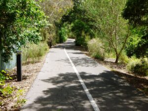
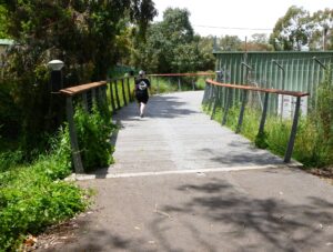
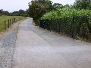
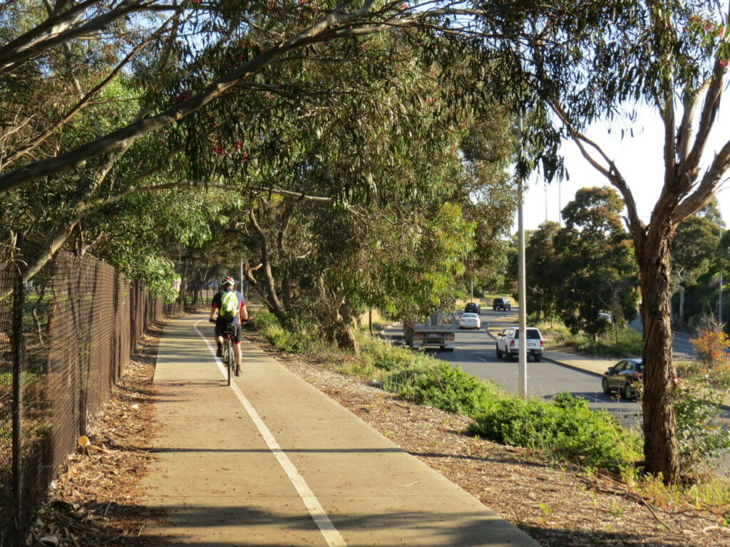
Continue along the creekside path behind the Homemaker Centre, crossing the creek on a wide bridge. Just before the path passes under the railway bridge, toilets can be accessed from a walkway through to the Homemaker Centre carpark. Immediately after passing under the railway, make a right turn to pass over another bridge over the creek. The trail is a gravel surface from this point for 2 blocks, remaining on the eastern side of the railway. Take care crossing Fletcher Rd. Further on, Alexandrina Rd can be busy but has a safe crossing with traffic lights.
Alexandrina Rd to Trail End (1.6km)
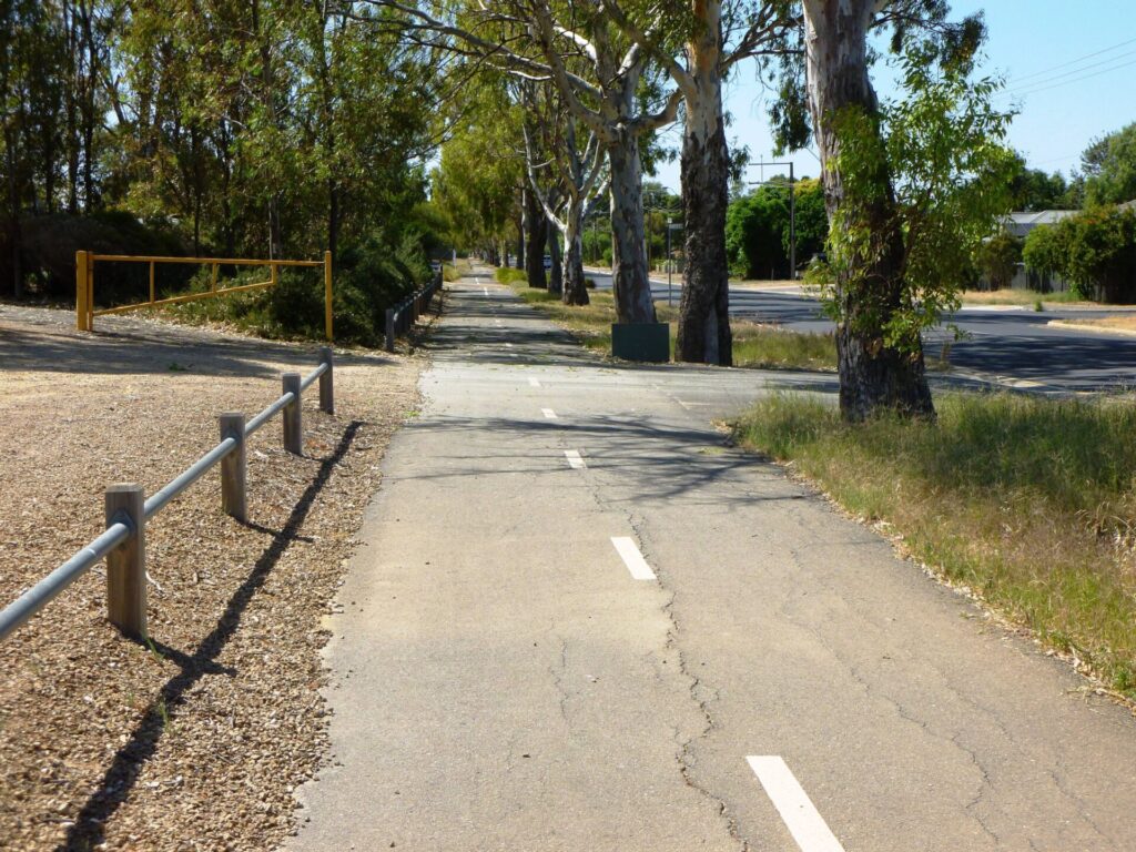
After crossing Alexandrina Rd the trail is a fairly new sealed path of good width. Wellington Rd crossing is a safe crossing with traffic lights. There is a supermarket about 300m east on Wellington Rd.
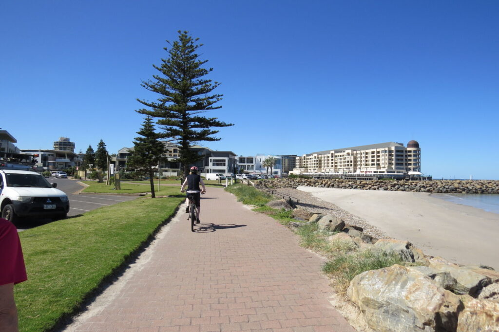
The good quality sealed path continues south to Hurling Dr which also has a safe crossing. South of Hurling Dr the trail is narrower and an older surface, in mostly good condition, passing between housing estates and the railway line. After 600m the path ends at the western edge of Bluestone Linear Park. Paths within the park lead around the lake to a playground and picnic area. Toilets are 400m further south along the linear park adjacent to basketball courts.
Side Trails
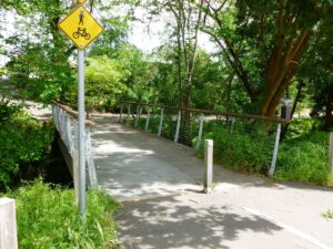
Laratinga Wetlands Trail (2km)
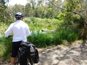
At the point where the path passes under the railway line at the rear of the Homemaker Centre, continue straight ahead on a good quality path for 2km to access the popular walking trails of the Laratinga Wetlands. There are toilets and picnic facilities close to Bald Hills Rd.
Summit Sport and Recreation Park Trail (3.5km)
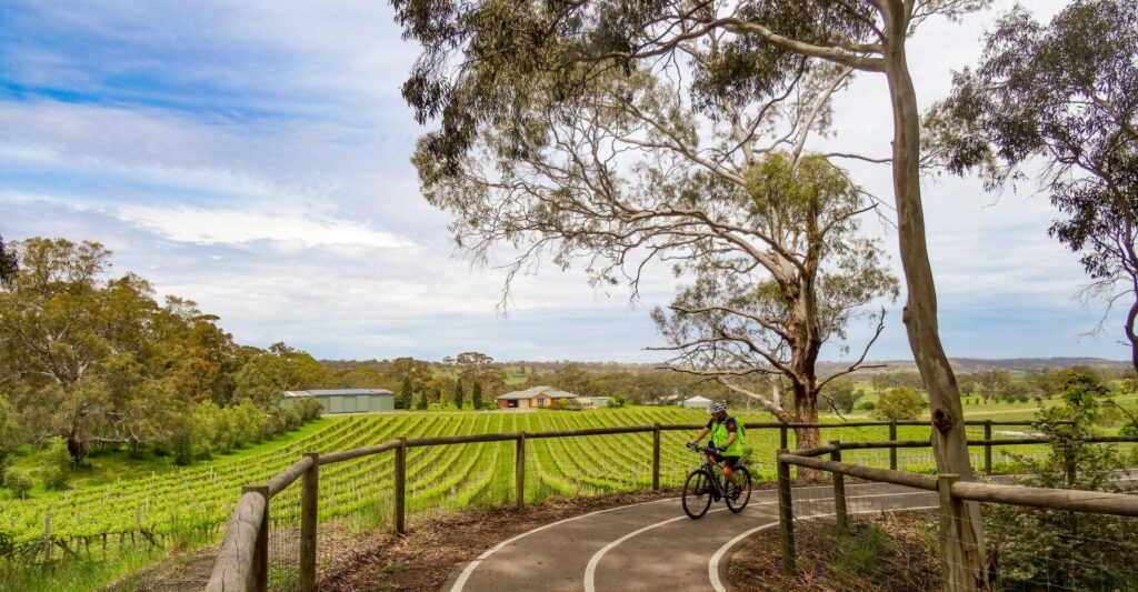
Follow directions above to the Laratinga Wetlands. At the entrance to the Laratinga BBQ and picnic area, turn right and cross two footbridges, then turn left to access a boardwalk which leads to a good quality trail which passes under Bald Hills Rd. The trail climbs gently through farmland until reaching the Summit Sport and Recreation Park. There is good parking around the football oval and great views of surrounding hills and farmland from the southern side of the oval.
Newenham Linear Park Trail (3.6km)
At the rear of the Homemaker Centre, 200m prior to the railway underpass, turn right to cross a bridge over the creek and access the Newenham Linear Park Trail which extends 3.6km to the south western suburbs of Mt Barker, following Western Flat Creek. Two underpasses provide safe passage under busy roads. There are toilets, BBQ and picnic facilities along the very pleasant scenic route.
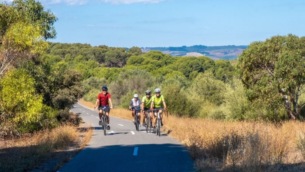
Amy Gillett Rail Trail (11km)
The 16km Amy Gillett Rail Trail starts in Oakbank, approximately 10km north of Childs Rd, Littlehampton. Access between the two rail trails is via rural roads, some of which can be busy at times.
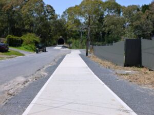
Childs Rd Path to Tunnel under freeway Dec 2021
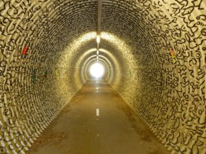
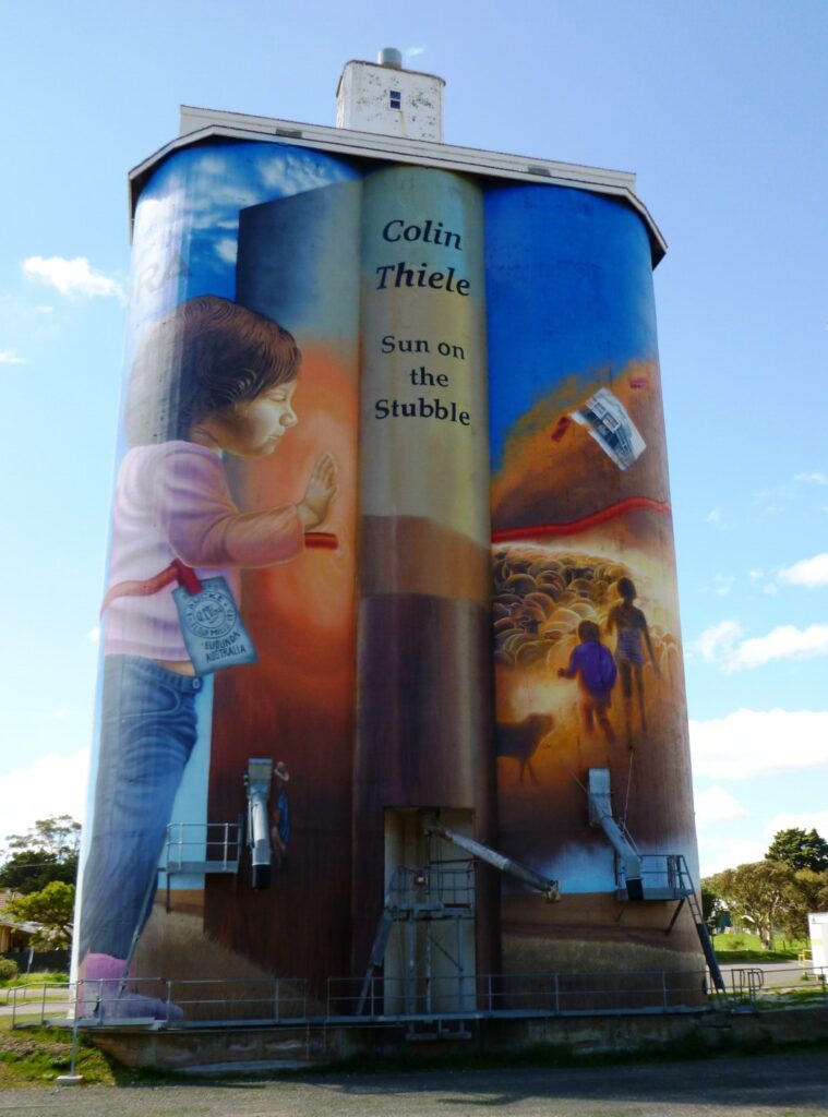
Tunnel Artwork Dec 21
Decent from Tunnel back to the rail corridor - Dec 21
the trail passes under the old rail corridor - Nov 21
Alongside Wetlands - Nov 21
the trail follow a creek and the rail corridor - Nov 21
Boardwalk over the creek - Nov 21
Trail bridge Near Mt Barker Station - 2 Nov 21
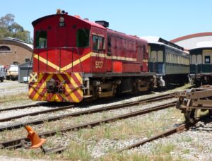
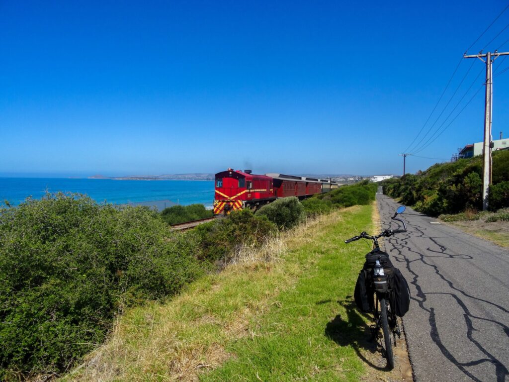
SteamRanger Engine 507 - Dec 21
Trail Bridge over Western Flat Creek - Nov 21
Northward View of Slope - Nov 21
Wellington Road railway crossing - Nov 21
Whittaker Tce - Nov 21
side trail to Laratinga Wetland - Nov 21
Laratinga Wetlands - Dec 21
Do you know of a bike hire or transportation service on this rail trail that should appear here? If so, let us know at admin@railtrails.org.au.
Information and Links
The trail is managed by the District Council of Mount Barker. To report problems contact
co*****@mo*********.au
or phone (08) 8391 7200 .
For further information go to:
Contact Rail Trails Australia
To contact us about this rail trail, email sa@railtrails.org.au
Background Information
Traditional Owners
We acknowledge the Peramangk people, the traditional custodians of the land and waterways on which the rail trail is built.
Development and Future of the Rail Trail
The trail takes advantage of the railway reserve to provide an off-road link between the centre of town and suburbs and wetlands to the south, north, east and southwest.
Rail Line History
The line from Adelaide to Victor Harbor was completed in 1884, joining the historic Goolwa – Victor Harbor line to what would soon be the main Melbourne – Adelaide line. The branch line from Mount Barker Junction to Victor Harbor had stations at Mount Barker, Strathalbyn and Goolwa.
Regular services operated until 1984. Community support saw the establishment of the not-for-profit organisation SteamRanger in 1989, which ran heritage trains from Adelaide to Victor Harbor. In 1995 the main line between Adelaide and Melbourne was converted to standard gauge, leaving Steamranger’s depot in metropolitan Adelaide isolated and defunct. Mount Barker station became its new base, and all its locomotives and facilities were transferred there. SteamRanger’s locomotive and rolling stock depot occupies the area to the south of the station originally used as a goods yard and incorporates the original goods shed.
SteamRanger Heritage Railway operates a number of different steam and diesel hauled tourist trains from Mt Barker to Strathalbyn and on through the coastal holiday towns of Goolwa and Port Elliot to the tourist resort town of Victor Harbor. Trains operate over 200 days a year and are manned by volunteers from the Australian Railway Historical Society, who are also responsible for maintenance of the rail line and the heritage locomotives and carriages.
Nearby Trails
Adelaide Hills Amy Gillett Rail Trail
Mount Lofty ranges, 49km east of Adelaide
16 km


O-Bahn Busway Rail Trail
Commences from Adelaide CBD
16 km
Mike Turtur Bikeway
Between Adelaide city and Glenelg
9 km
Marino Rocks Rail Trail
Marino Rocks
16 km
Westside Bike Path
2km West of Adelaide.
9 km
Coast to Vines Rail Trail
Southern Adelaide Suburbs
37 km
Stockade Rail Trail
Pooraka, 11km north of Adelaide
2.6 km
Coast Park Rail Trail
12 Km west of Adelaide CBD
34 km
Parafield Rail Trail
15km north of Adelaide
3 km

Gawler Rail Trail
North of Adelaide CBD
14 km
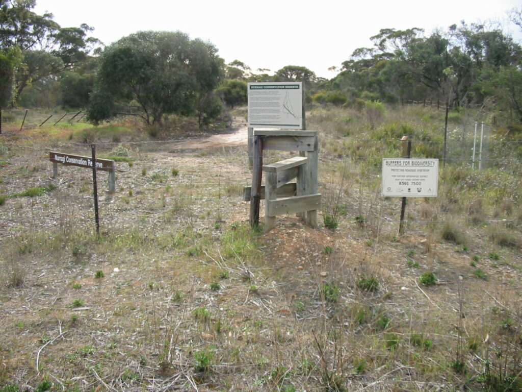
Nurragi Conservation Reserve
Milang approx 70km south east of Adelaide
12 km
Outer Harbor Greenway Rail Trail
Port Adelaide, 20km north west of Adelaide
23 km
Penfield Rail Trail
Northern suburb of Adelaide
7 km
Smithfield Magazine Rail Trail
Smithfield Plains, 33kms north of Adelaide
3.5 km
Barossa Rail Trail
Barossa Valley - between Gawler and Angaston
43 km
Encounter Bikeway
Between Goolwa and Victor Harbour on the Fleurieu Peninsula 90km south of Adelaide
28 km
Kapunda Rail Trail
78km north of Adelaide
1 km
Eudunda Rail Trail
112km north of Adelaide
1 km
Nearby Trails
Adelaide Hills Amy Gillett Rail Trail
Mount Lofty ranges, 49km east of Adelaide
16 km
O-Bahn Busway Rail Trail
Commences from Adelaide CBD
16 km
Mike Turtur Bikeway
Between Adelaide city and Glenelg
9 km
Marino Rocks Rail Trail
Marino Rocks
16 km
Westside Bike Path
2km West of Adelaide.
9 km
Coast to Vines Rail Trail
Southern Adelaide Suburbs
37 km
Stockade Rail Trail
Pooraka, 11km north of Adelaide
2.6 km
Coast Park Rail Trail
12 Km west of Adelaide CBD
34 km
Parafield Rail Trail
15km north of Adelaide
3 km
Gawler Rail Trail
North of Adelaide CBD
14 km
Nurragi Conservation Reserve
Milang approx 70km south east of Adelaide
12 km
Outer Harbor Greenway Rail Trail
Port Adelaide, 20km north west of Adelaide
23 km
Penfield Rail Trail
Northern suburb of Adelaide
7 km
Smithfield Magazine Rail Trail
Smithfield Plains, 33kms north of Adelaide
3.5 km
Barossa Rail Trail
Barossa Valley - between Gawler and Angaston
43 km
Encounter Bikeway
Between Goolwa and Victor Harbour on the Fleurieu Peninsula 90km south of Adelaide
28 km
Kapunda Rail Trail
78km north of Adelaide
1 km
Eudunda Rail Trail
112km north of Adelaide
1 km
