- Barossa Valley wine and food experiences
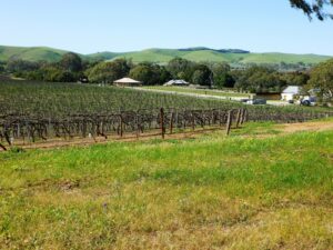
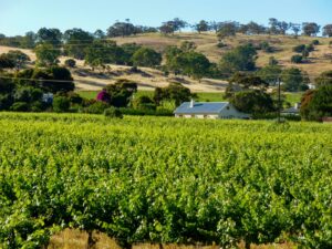
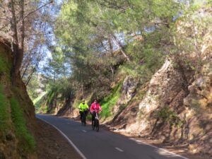
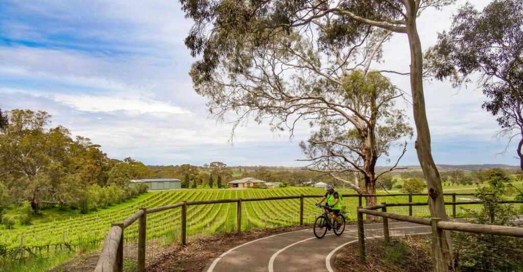
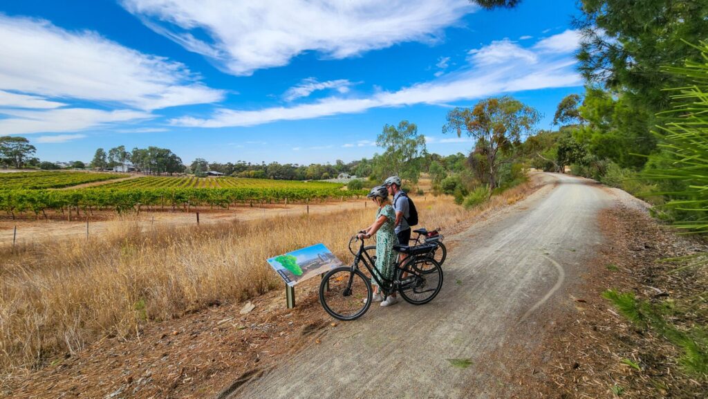
- Rural and vineyard scenery
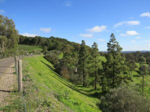
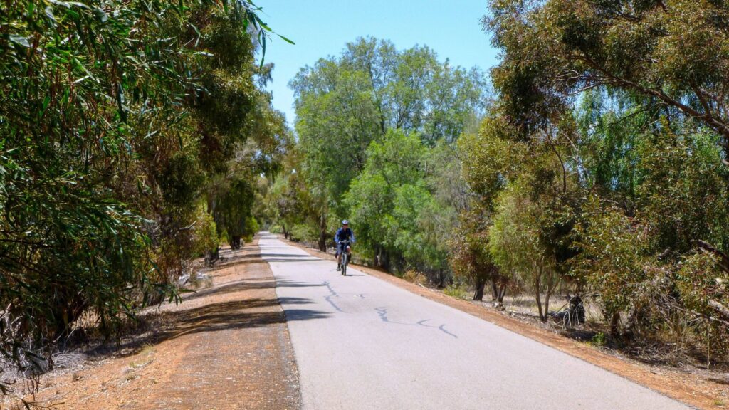
- Tanunda to Angaston is flat – ideal for children and novice riders
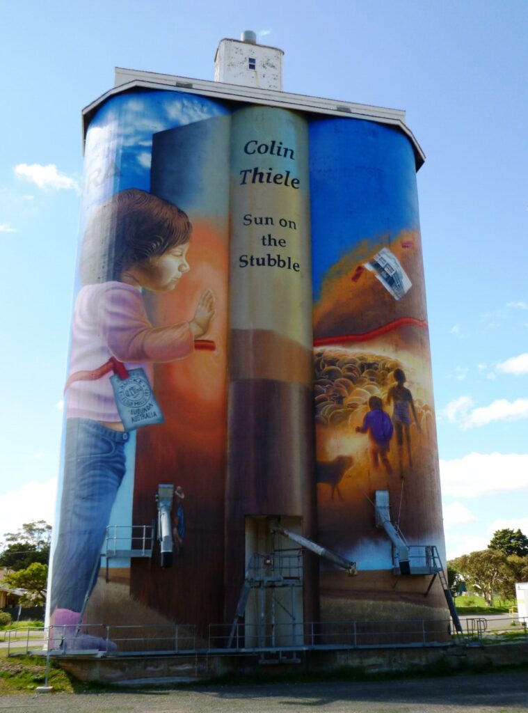
- Barossa Adventure Station – Angaston
- Barossa German heritage
- To date 16km of this is developed rail trail with the remainder connecting paths to join open section.
Nearby Attractions
- Wine and food experiences
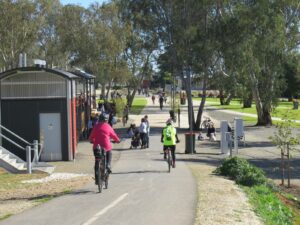
- Barossa towns
- Barossa Adventure Station – Angaston
- Rural scenery
Last updated: 19 December 2023
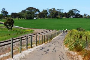
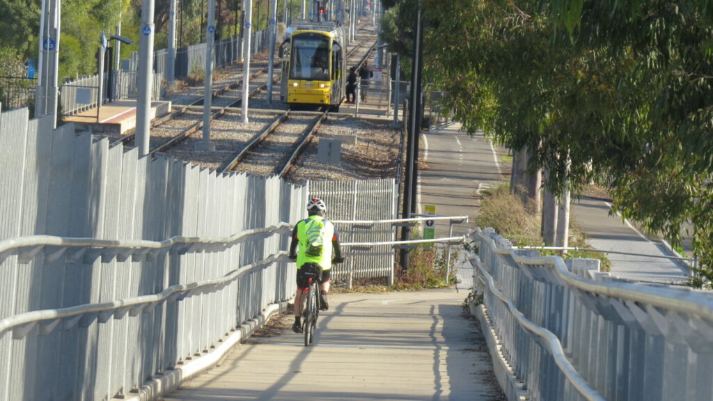
This scenic shared use trail (walking and cycling) is located in the heart of the Barossa Valley and links the major towns of Gawler, Tanunda, Nuriootpa and Angaston via the railway corridor, taking advantage of panoramic views and the topography of the land.
Although some of the Gawler to Tanunda section is not rail trail, it gives cyclists and tourists the opportunity to extend their ride or walk and explore more parts of the Barossa by bike. It is possible to enjoy a ride all the way from Gawler to Angaston mainly on traffic-free dedicated cycle paths. Care must be taken on the short on-road section through Tanunda and at all road crossings. Take advantage of the many coffee shops, bakeries and restaurants in all the Barossa towns.
At the terminus of the Barossa Rail Trail in the Angaston rail yards, The Barossa Council has created a unique recreation area called the Barossa Adventure Station which features a one kilometre mountain bike trail, zip-line, accessible trampolines, bespoke tower and slide, skate ramps, boulder walling, half-court basketball, sensory sound forest and serene BBQ and picnic facilities. The Barossa Adventure Station will cater for all the family needs and is located only metres away from the main street of Angaston.
Nearby MTB trails at Moculta and Pewsey Vale.
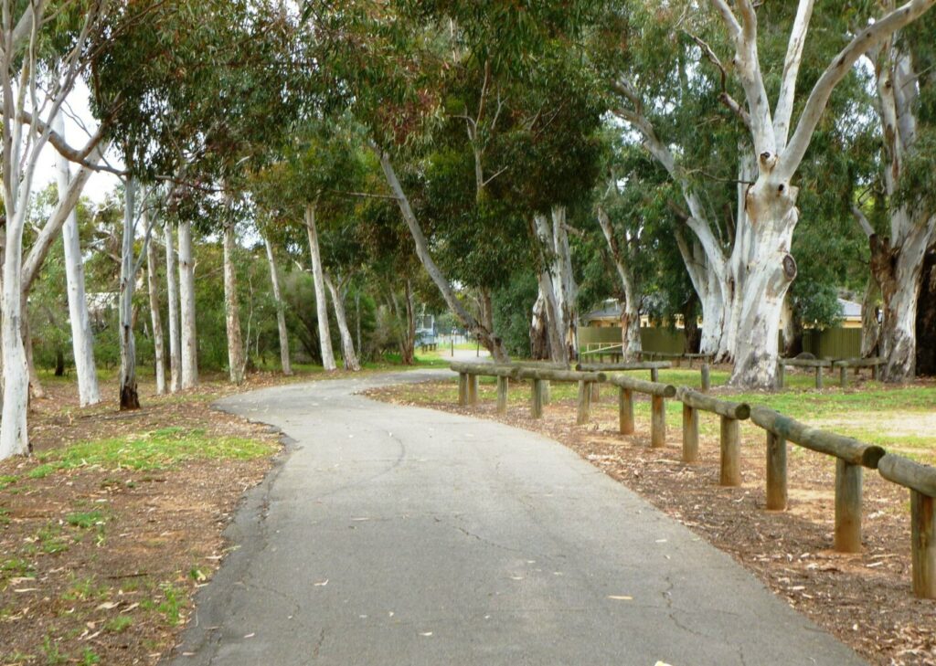
Toilets and picnic facilities at Lyndoch, Tanunda, Nuriootpa and Angaston
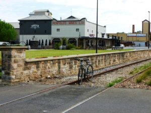
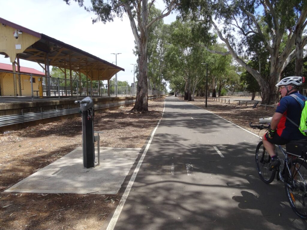
Barossa Cycle Hub located at Visitor Information Centre (68 Murray Street Tanunda) includes bike hire, showers, public toilets, cycle storage and lock-up, bike maintenance stand, tools and some spare parts.
Barossa Bike Hire (5 South Terrace, Nuriootpa) can provide bikes, e-bikes, bike tours, some parts and repairs. Hire bikes can be delivered to accommodation within the Barossa.
Gawler Cycle Hub located at Visitor Information Centre (2 Lyndoch Road, Gawler) includes bike hire, showers, public toilets, cycle storage and lock-up, bike maintenance stand, drinking fountain, picnic tables and shelter.
Plenty of places to eat and stay in the region. There are caravan parks in Tanunda, Nuriootpa and Gawler.
Section Guides
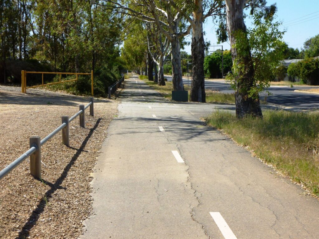
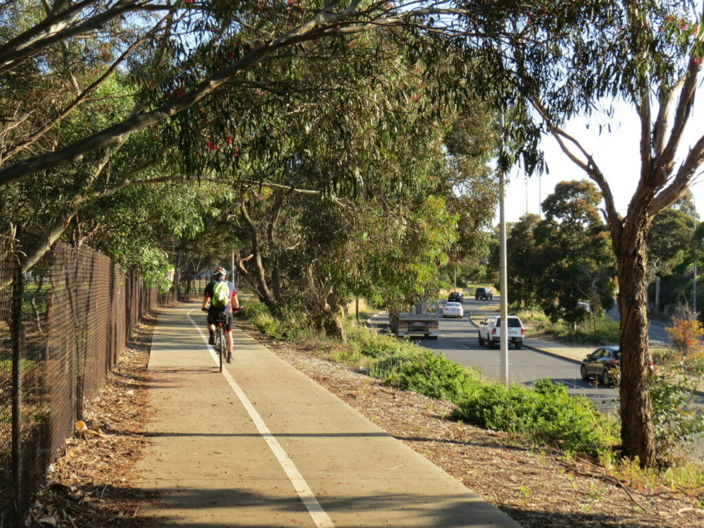
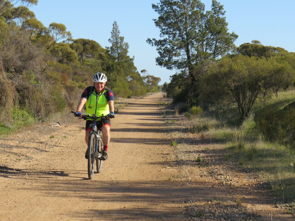
Gawler to Lyndoch (16 km)
This section was completed in 2014, with an extension from Gawler East to Kalbeeba completed in 2022, and features a high quality smooth hot mix surface.
Either Gawler (4.8km to Barossa Rail Trail) or Gawler Central (3.3km) railway stations can be used but Gawler Central is closest to the Gawler Cycle Hub and the start of the Barossa Rail Trail. Gawler station has an F Class steam locomotive on display at its northern end.
From the Gawler Cycle Hub, a mostly on-road cycle route starts alongside the council administration building carpark in High Street. Signage and road markings show the way. The final section is off-road cyclepath alongside the Barossa Valley Way and links to the Barossa Rail Trail at Sunnydale Avenue. Pick up a route map at the Cycle Hub Information Centre.
The Barossa Rail Trail follows the unused railway line from Gawler East to Sandy Creek, then follows the Barossa Valley Way and railway to Lyndoch.
At Sandy Creek a short link trail provides access to the historic Sandy Creek Hotel and Barossa Valley Way.
There are no steep or dangerous sections, but take care at road crossings.
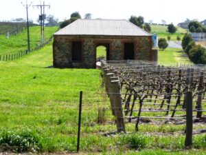
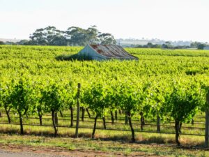
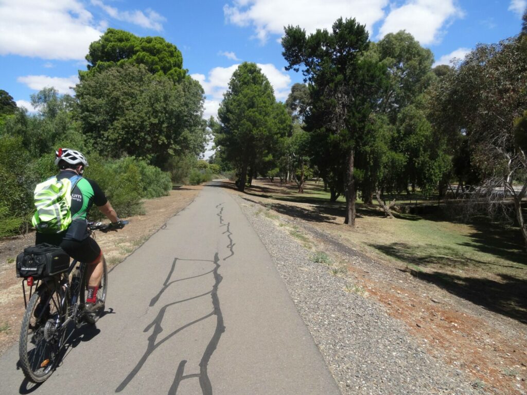
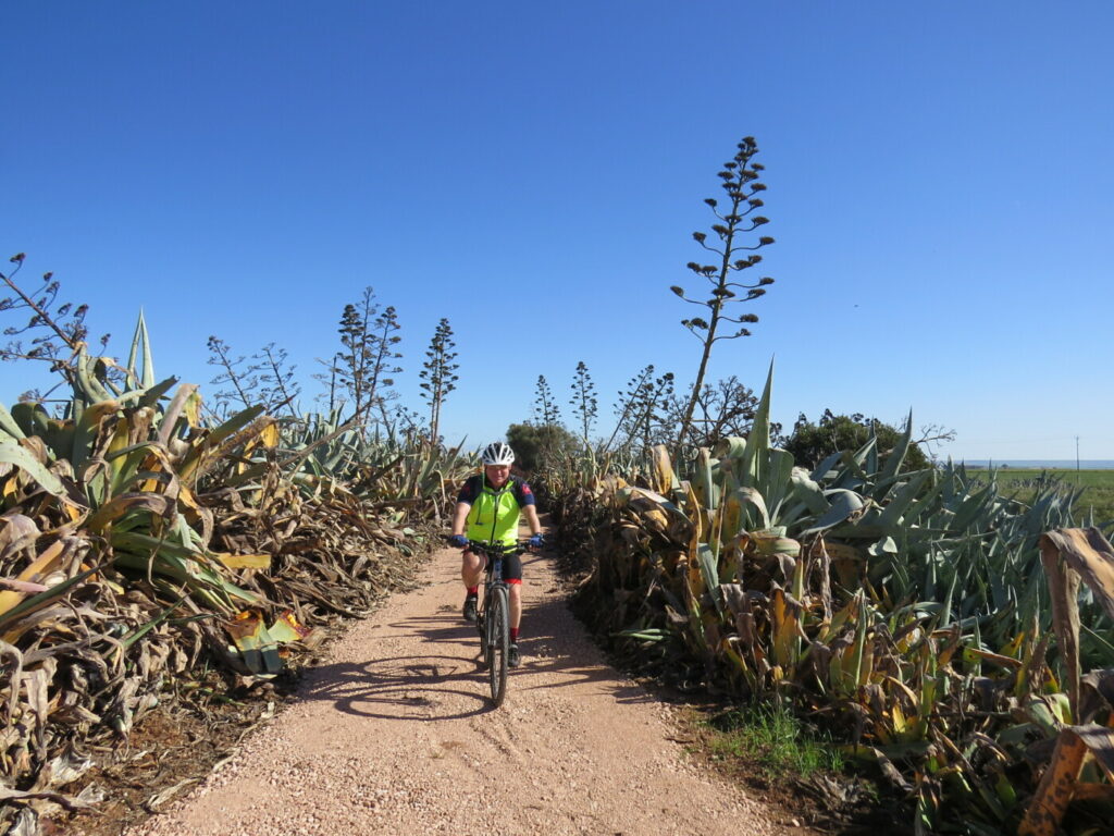
The trail passes mostly cropping and grazing farmland and then vineyards and wineries closer to Lyndoch.
At Lyndoch Hill the trail passes through the hotel grounds and rose garden.
Picnic facilities, water station and toilets are located opposite Lyndoch Bakery.
Lyndoch to Rowland Flat (5.6 km)
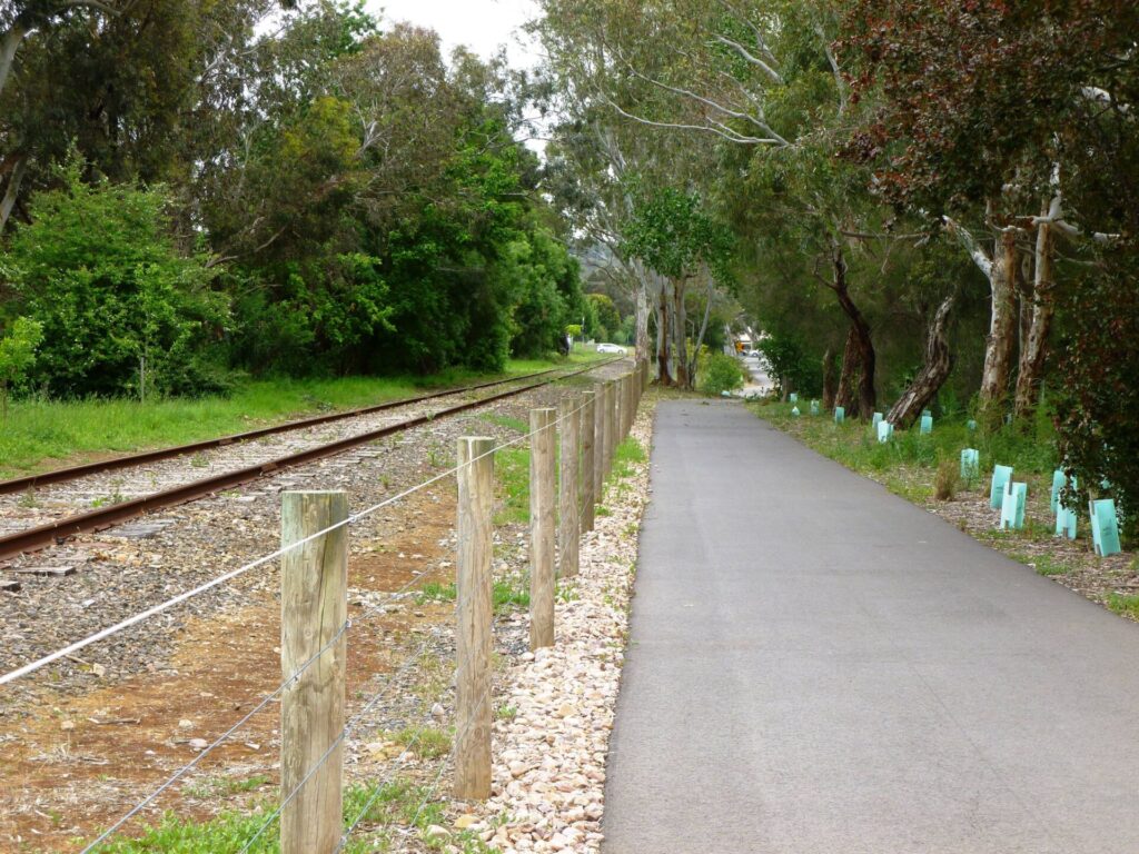
This section is a good quality sealed cycle path that follows Barossa Valley Way and then the unused railway line to Rowland Flat.
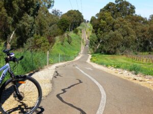
The section that follows the railway line has a couple of short, steep climbs.
The trail passes vineyards and wineries.
This part of the line suffered a number of derailments over the years. An information board near Rowland Flat details the events.
Rowland Flat to Tanunda (9.4 km)
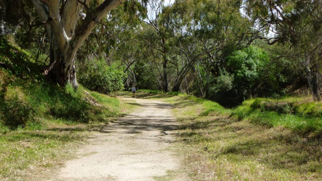
This section is not a rail trail but a good quality sealed cycle path which follows the North Para River and then the Barossa Valley Way to Tanunda.
The section that follows the North Para River has several short, steep climbs and awkward sharp switchback bends, and two stock grids.
There are some hazardous sections on this trail so all cycle riders should exercise caution.
The trail passes through the grounds of Jacobs Creek Visitor Centre.
The trail finishes at the start of the main street in Tanunda which can be busy but speeds are usually low – exercise caution.
Cycle Hub at Barossa Visitor Information Centre in Tanunda (68 Murray Street) includes bike hire, showers, public toilets, cycle storage and lock-up, bike maintenance stands, tools and some spare parts.
Tanunda Railway Station (300m east of the Cycle Hub) is in a reasonable state of repair and was in use by community groups until recently.
Numerous accommodation, food and beverage options in Tanunda.
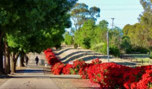
Tanunda to Nuriootpa (6 km)
This section is mostly a railside trail. From the Cycle Hub it is an on-road journey through Tanunda on Murray St with good on-road cycle lanes for most of the distance; alternatively the quieter and more scenic Bilyara, Langmeil and Para Roads can be used. The 3.5 km railside trail starts at Kroemers Crossing Roundabout at the intersection of Murray St and Burings Rd, and is a good sealed cycle path.
This section features a long (around 3 km) avenue of red roses between the unused railway line and cycle path, passing vineyards and wineries. There are large, shady trees between the path and main road.
Exercise care at roundabout road crossings at Kroemers Crossing (Burings Rd) and Dorrien (Seppeltsfield Rd). The remains of Dorrien Siding are visible south of Seppeltsfield Rd.
Hot air balloons can often be seen in the morning, usually during the first hour of daylight.
The historic Penfolds building at Nuriootpa has been repurposed to provide food and beverage options.
Where the railway crosses the Barossa Valley Way at Nuriootpa, turn right into South Terrace then left into The Crescent to continue to Angaston.
Side Trail – Nuriootpa Linear Park Shared Use Path (2 km not included in the Barossa Rail Trail)
At the point where the railway crosses the Barossa Valley Way at Nuriootpa, continue straight ahead to Nuriootpa centre.
About 200 metres north of this crossing is Tolley Reserve with an RX steam locomotive on display as well as toilets, picnic facilities, playground, skate park and MTB/BMX track.
A riverside linear path runs from Tolley Reserve under the Murray Street road bridge and then onto the Nuriootpa caravan park.
Numerous accommodation, food and beverage options in Nuriootpa.
Nuriootpa to Angaston (7 km)
This is a high quality rail trail which follows the old rail easement and has a smooth hot mix bitumen surface. At Nuriootpa turn into South Terrace then left into The Crescent to access the Nuriootpa – Angaston rail trail.
No buildings remain at Nuriootpa station but platforms, railway lines and water tower are still in place.
Nuriootpa had a turning triangle rather than a turntable for reversing engines. The triangle is still in place, often hidden by long grass, and the cycle path crosses it twice.
Railway Terrace, on the opposite side of Nuriootpa station, formed one straight of a rectangular racing circuit used for the 1950 Australian Grand Prix. Murray Street was another straight, right through the middle of the shopping precinct.
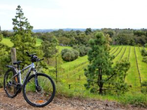
This section passes through vineyards and past wineries, and features high embankments and deep shady cuttings at the Angaston end.
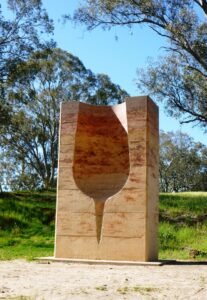
The trail has been enhanced with high quality metal sculptures, information and map boards and seating at regular intervals.
Early morning wildlife encounters (birds, kangaroos, rabbits etc) are not uncommon on this section.
Road crossings have been paved to resemble rails and sleepers – exercise caution at all road crossings.
Iconic Barossa Farmers Market can be accessed from the Light Pass/Diagonal Road crossing or the Stockwell Road crossing. Saturday mornings only.
Angaston Station site has been reinvented as a multi-purpose recreation area known as the Barossa Adventure Station.
A 1km MTB track overlooks the old railway yard.
Barossa Valley Machinery Preservation Society has a large shed in the station grounds. They have numerous restored/under restoration vehicles, engines and machinery occasionally on display.
At Angaston the trail terminates in Washington St. Turn left then left again into Sturt St to access Murray Street shops and cafes.
Angaston has a working Blacksmith’s Shop in the main street, open weekends and public holidays.
Numerous accommodation, food and beverage options in Angaston.
![The beginning of the rail trail proper at Gawler East [2022]](https://www.railtrails.org.au/wp-content/uploads/2022/08/S21-057-023-Barossa-RT-Ext-Sunnydale-Ave-Start-Jul-22-300x225.jpg)
The beginning of the rail trail proper at Gawler East [2022]
![The new section near Kalbeeba is enjoyable in all seasons [2022]](https://www.railtrails.org.au/wp-content/uploads/2022/08/S21-057-028-Barossa-RT-Ext-midpoint-view-east-Jul-22-300x225.jpg)
The new section near Kalbeeba is enjoyable in all seasons [2022]
![Road crossing at Kalbeeba [2022]](https://www.railtrails.org.au/wp-content/uploads/2022/08/S21-057-031-Barossa-RT-Ext-Kalbeeba-Jul-22-300x225.jpg)
Road crossing at Kalbeeba [2022]
Trail between Kalbeeba and Sandy Creek (2020)
![End of the rail trail proper at Sandy Creek [2020]](https://www.railtrails.org.au/wp-content/uploads/2022/08/S21-106-BT6-Rail-Side-Trail-end-Sandy-Creek-2020-09-300x225.jpg)
End of the rail trail proper at Sandy Creek [2020]
Old House close to Lyndoch (2020)
The rail side trail is a bit more undulating than the railway at Rowland Flat (2020)
Trail view near Jacobs Creek (2020)
Rail Trail Hills and Vineyard View (2020)
Trailside Art near Jacobs Creek (2020)
![Barossa Cycle Hub at Tanunda [2022]](https://www.railtrails.org.au/wp-content/uploads/2022/08/S21-257-BT29-Barossa-Cycle-Hub-Tanunda-2020-09-225x300.jpg)
Barossa Cycle Hub at Tanunda [2022]
Trail Side Vineyards - Nuriootpa (2020)
Trail Side Roses - Nuriootpa (2020)

Dorrien Roses (2020)
Historic Penfolds Building - Nuriootpa (2020)
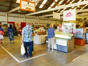
Barossa Farmers Market (2020)
![Take a break at Artisans - one of the many wineries along the route [2022]](https://www.railtrails.org.au/wp-content/uploads/2022/08/S21-001-Lunch-at-Artisans-of-Barossa-2022-01-300x225.jpg)
Take a break at Artisans - one of the many wineries along the route [2022]
View from the rail trail near Angaston (2020)
Climbing up to Angaston (2020)
Approaching Angaston station area. (2020)
The Angaston station area has been transformed by the Council into a recreation centre for the community (2020)
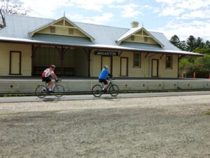
The Angaston station building has also been restored (2020)
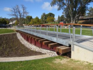
The turntable at the Angaston Station is now a feature of the trail (2020)
 Ride in this well known region passing world famous wineries and gourmet outlets along the way.
Do you know of a bike hire or transportation service on this rail trail that should appear here? If so, let us know at admin@railtrails.org.au.
Information and Links
For more information:
Barossa Bike Hire – Provider for Bike Hire, Cycle Tours, and Gourmet Bike Experiences.
To report any issues or problems please contact The Barossa Council
Contact Rail Trails Australia
To contact us about this rail trail, email sa@railtrails.org.au
Background Information
Traditional owners
We acknowledge the Kaurna, Peramangk and Ngadjuri people, the traditional custodians of the land and waterways on which the rail trail is built.
Development and future of the rail trail
The first section of rail-side trail between Tanunda and Nuriootpa was opened in 1992. In 2010, the track between Nuriootpa and Angaston was removed and the high standard rail trail constructed. The cyclepath between Tanunda and Kalbeeba was opened in 2014 with sections between Rowland Flat and Altona, and between Sandy Creek and Kalbeeba being rail-side trails. The newest addition of rail-side trail connecting Kalbeeba with Gawler East was opened in July 2022.
As the railway is still technically ‘operational’ from Gawler to Nuriootpa, this section of the trail has been built beside it or following the creek. However the line has now been removed at the Kroemer’s Crossing roundabout near Tanunda so is unlikely to be used again without significant restoration works.
Rail line history
The Gawler to Angaston line was officially opened in 1911 to much fanfare. The Railway Authorities commissioned a special school train for the opening, which carried 1258 children.
In 1917 the line was extended further north east from Nuriootpa to Truro and later a further branch off this to Penrice Quarry about 6km from Nuriootpa.
Regular commuter passenger services were withdrawn in 1968 and no passenger services have used the line since 2003, with the withdrawal of the Barossa Wine Train.
Tour Down Under takes place soon in South Australia
Posted: 19/12/23
South Australia's iconic Tour Down Under international road cycling event is on again in January 2024 ...
More...New water station installed on Barossa Rail Trail
Posted: 19/12/23
A new water station has recently been installed at the Angaston Adventure Park near the ...
More...Barossa Rail Trail extension between Gawler East and Kalbeeba now open
Posted: 26/07/22
The Barossa Rail Trail extension between Gawler East and Kalbeeba is now open and proving ...
More...The Barossa Trail Extension (SA)
Posted: 08/10/12
The new section of Barossa Trail will be 27km in total, and will be known ...
More...Nearby Trails
Smithfield Magazine Rail Trail
Smithfield Plains, 33kms north of Adelaide
3.5 km


Kapunda Rail Trail
78km north of Adelaide
1 km

Penfield Rail Trail
Northern suburb of Adelaide
7 km
Parafield Rail Trail
15km north of Adelaide
3 km
Adelaide Hills Amy Gillett Rail Trail
Mount Lofty ranges, 49km east of Adelaide
16 km

Stockade Rail Trail
Pooraka, 11km north of Adelaide
2.6 km
Outer Harbour Rail Trail
Port Adelaide, 20km north west of Adelaide
23 km
Eudunda Rail Trail
112km north of Adelaide
1 km
Westside Bike Path
2km West of Adelaide.
9 km
Mike Turtur Bikeway
Between Adelaide city and Glenelg
9 km
Mount Barker Rail Trail
33km southeast of Adelaide
5 km
Coast Park Rail Trail
12 Km west of Adelaide CBD
34 km
Marino Rocks Rail Trail
Marino Rocks
16 km
Riesling and Rattler Rail Trail
130km north of Adelaide
53 km
Coast to Vines Rail Trail
Southern Adelaide Suburbs
37 km
Copper Rail Trail
100km north of Adelaide
26 km
Shamus Liptrot Rail Trail
100km north of Adelaide
11 km

Nurragi Conservation Reserve
Milang approx 70km south east of Adelaide
12 km
Encounter Bikeway
Between Goolwa and Victor Harbour on the Fleurieu Peninsula 90km south of Adelaide
28 km
Nearby Trails
Smithfield Magazine Rail Trail
Smithfield Plains, 33kms north of Adelaide
3.5 km
Kapunda Rail Trail
78km north of Adelaide
1 km
Penfield Rail Trail
Northern suburb of Adelaide
7 km
Parafield Rail Trail
15km north of Adelaide
3 km
Adelaide Hills Amy Gillett Rail Trail
Mount Lofty ranges, 49km east of Adelaide
16 km
Stockade Rail Trail
Pooraka, 11km north of Adelaide
2.6 km
Outer Harbour Rail Trail
Port Adelaide, 20km north west of Adelaide
23 km
Eudunda Rail Trail
112km north of Adelaide
1 km
Westside Bike Path
2km West of Adelaide.
9 km
Mike Turtur Bikeway
Between Adelaide city and Glenelg
9 km
Mount Barker Rail Trail
33km southeast of Adelaide
5 km
Coast Park Rail Trail
12 Km west of Adelaide CBD
34 km
Marino Rocks Rail Trail
Marino Rocks
16 km
Riesling and Rattler Rail Trail
130km north of Adelaide
53 km
Coast to Vines Rail Trail
Southern Adelaide Suburbs
37 km
Copper Rail Trail
100km north of Adelaide
26 km
Shamus Liptrot Rail Trail
100km north of Adelaide
11 km
Nurragi Conservation Reserve
Milang approx 70km south east of Adelaide
12 km
Encounter Bikeway
Between Goolwa and Victor Harbour on the Fleurieu Peninsula 90km south of Adelaide
28 km
9 reviews of “Barossa Rail Trail”
As other reviewers have noted, this is a superb area on a great trail. So I will just note two things for consideration. Firstly, before riding this trail, it is worth noting the elevation change between Gawler and Angaston and decide if you want the climbs on the way out or the way back. I rode Angaston to Jacobs Creek Winery at Rowland Flat (on an ebike so the climbs were not an issue). Secondly this is a five star trail except for the on road section through Tanunda. This is a high volume traffic road at urban speeds. There is an on road bike lane but the closer you get to the town centre, the more cars there are parked in it. Cyclists need to claim the vehicle lane to prevent close passes from motorists. This can be nerve racking for many cyclists. And riding on the footpath requires negotiating many driveways. So, be prepared to deal with traffic going through Tanundra. Then enjoy the bliss of being fully separated for the remainder of the trail.
We rode Lyndoch to Angston, 58k return. Lovely views, only small section from Nuriootpa to Angston actually on railway easement. Some steep sections between Rowland Flat and Tanunda, but good views compensate. Good surface, lots of opportunities for vineyard visits. Lovely area to ride.
We are staying at Lyndoch Hill Motel for a few nights. Nice place, and central to our plans for riding the Barossa trail. Today we rode from Lyndoch to Angaston and return, approx 58kms. This is a bike trail, or shared use path for most of the way except for the 7km section between Nuriootpa and Angaston, which is a true Rail Trail. I consider the Rail Trail section of this trail to be one of the best in Australia. The only drawback is that it is only 7kms long. The surface is smooth hot mix seal, and there are many sculptures and interpretive signs on the way. The Station precinct at Angaston has been beautifully preserved, including the station building and platform, some old rail lines, goods shed, and turntable.
The trail between Nuriootpa and Tanunda is next to the disused railway line, but the rest of the trail is well away from the old line.
The trail is extremely hilly and windy between Tanunda and Rowland Flat. However this may appeal to some trail users, as it runs next to the river and there are some nice views.
This trail is sealed all the way, and there are loads of opportunities to visit wineries, bakeries, restaurants and pubs every few kms.
A lovely trail in a lovely part of the world.
Spent a day riding 32km of this wonderful rail trail. Hired excellent bikes in Nuriootpa and cycled between Angaston and Tanunda, stopping at several wineries along the way. The views along many sections of the trail, and particularly from the outdoor winery settings, were fabulous. The trail is well signposted, the surface is very good, and it is a great way to see the famous Barossa Vineyards.
I rode this trail both ways last week. It was in excellent condition, and travelled through some beautiful country. The best part for me was the section around the Jacobs Creek winery!
Riding was easy with only a few short steep hills around Jacobs Creek, as in the actual creek, although they were a bit of fun after some of the long straights.
Interestingly, when riding through the small town like Tanunda, I found drivers to be patient, courteous and considerate, unlike their city cousins!
The whole area is very beautiful, and it’s well worth spending a few days there. The trail rates 10/10 from me!
I should have rated it 5 star, but can’t seem to edit my review!
My partner and I rode the Angaston to Lyndoch section of this trail in a day in September 2018.
The Barossa is perhaps the best-known wine region in Australian and a major tourist and foodie destination – so there are plenty of places to eat and drink, but also the roads can be quite busy. We stayed at Angaston but there are many accommodation options in Nuriootpa, Tanunda and surrounds, many of them upmarket.
We hired a tandem from the helpful and well-stocked Barossa Bike Hire in Nuriootpa.
While the Barossa (rail) Trail, cyclepath and Jack Bobridge trail stretch for over 40km, only approximately the 10km between Nuriootpa and Angaston is on or beside a disused rail line. This is also one of the most pleasant and scenic parts of the whole trail, and passes close to several wineries. We saw several other cyclists on this section. Angaston is pretty and deserves some time for a coffee or refreshments.
Heading south from Nuriootpa the cycleway has some sections on or beside the busy Barossa Valley Way. It also has some steeper but scenic sections away from the main road. The weather was warm, so once we reached Lyndoch and had some lunch we decided it was time to return to Nuriootpa rather than continuing to the larger town and transport hub of Gawler. We did this via a back road which wound past wineries and through farm land, and provided more elevated views over the Barossa Valley.
I have riden the new section from just outside Gawler to Lyndoch – a nice easy ride, totally on bikeway only crossing a few side roads and the main road once. Scenic country, passing through fields, vineyards and an arched rose garden, ending across from the bakery in a pretty green park with a sheltered area with seating and conveniences.
This needs an update – it’s finished to the outskirts of Gawler and is generally a nice ride (needs some plants to beautify in places) and connects over 40 km to Angaston. Well worth it.