- The Nurragi Rail Trail provides a unique opportunity to experience remnant vegetation which is indigenous to the region
- Includes a mix of natural and cultural heritage features
- Recommended for families, train enthusiasts, and groups who want a gentle 2-3 hour walk
Nearby Attractions
- More than 300 species of native plants
- Lake Alexandrina at Milang is a great place for a dip, especially for the kids; the water is only waist deep until past the end of the jetty
- Milang Railway Museum (open from 12- 4 pm on Saturdays and Sundays and by appointment at other times; phone 8537 0061) has souvenirs and serves refreshments in the carriages.
Last updated: 28 April 2024
One of the original reasons for rail trails was to create long conservation corridors, and this trail is a good example.
Following settlement of the area in the mid 1800s native vegetation was cleared for agricultural production and less than 2 per cent remains. The Nurragi rail corridor was left relatively undisturbed and through the efforts of the local community, council and SA Government, existing vegetation has been protected and revegetated with species of the original Milang scrub.
More than 300 species of native plants grow on the reserve; 67 of these are of particular conservation significance. The reserve also attracts native mammals, reptiles and birds.
The trail is only suitable for walking as there are many stiles over fences at the road crossings, it can be cycled if you are prepared for a significant challenge. The trail is flat and is easy walking, but be prepared to move through sections of vegetation.
Nurragi volunteers have established a self-guided walking trail from Sandergrove to Milang. Points of interest are marked, distance markers have been installed, and a brochure produced to guide walkers.
The only facilities are at Milang, including BBQ facilities and a caravan park at the foreshore.
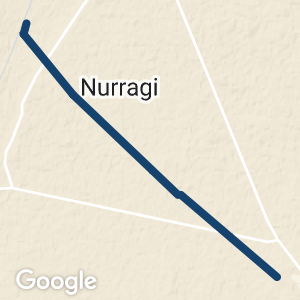
Nurragi Conservation Reserve can be reached from many points including:
- The Sandergrove end via Goolwa Rd and Tucker Rd (follow Tucker Rd to the end, past the railway line)
- Next to the cemetery (off Weeroona Rd) at the Milang end
- At Punkulde or from Nurragi Rd
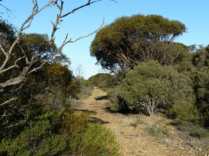
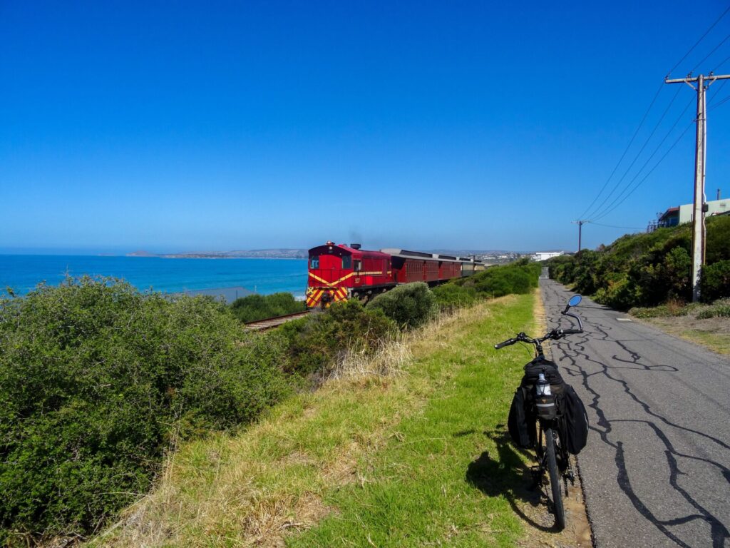
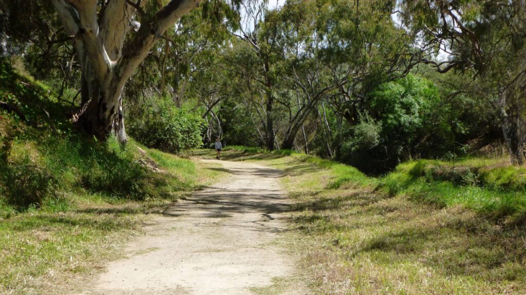
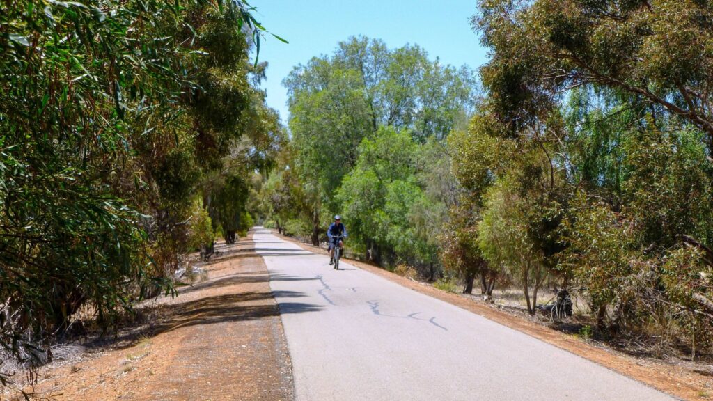
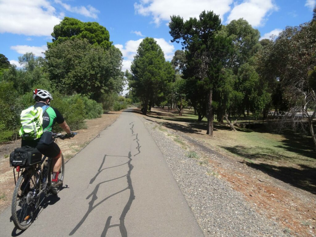
Typical scenery on the trail. Simon Lewis 2007.
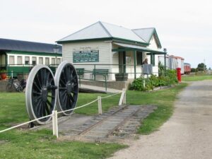
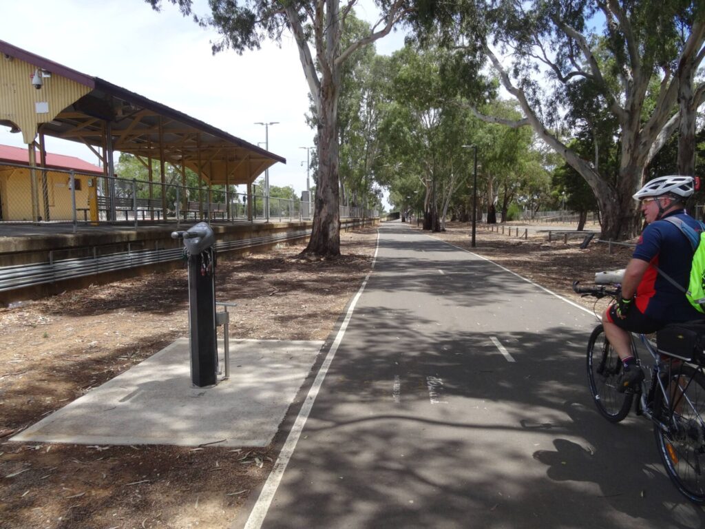
Port Milang Railway Station (2006)
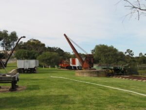
Port Milang (2006)
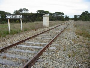
Site of Sandergrove Railway Station (2006)
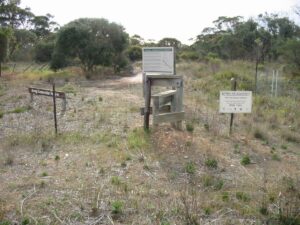
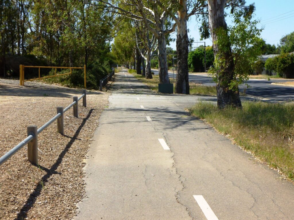
Fence crossing stiles Milang (2006)
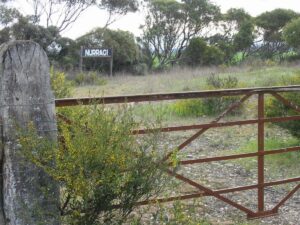
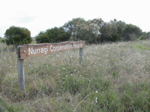
Nurragi Station Site (2006)
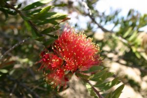
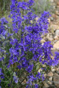
Scarlet Bottlebrush which can be seen on the trail. Jeff Whittaker.
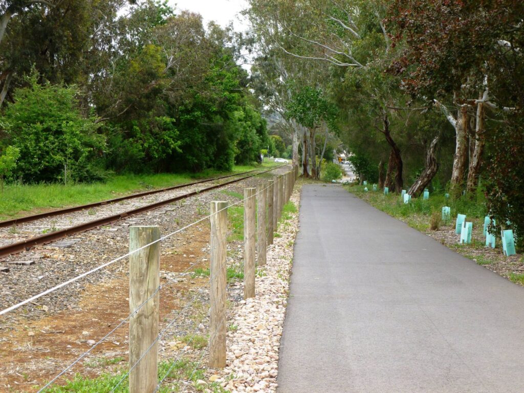
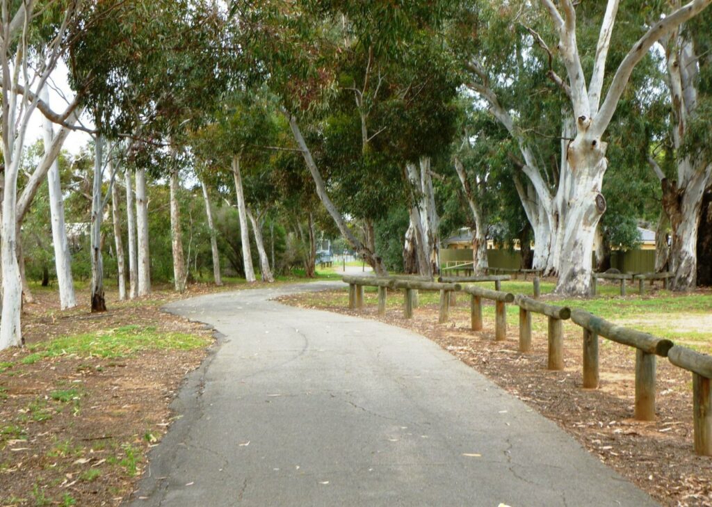
Nurragi conservation trail, September 2006
native vegetation on the trail
Do you know of a bike hire or transportation service on this rail trail that should appear here? If so, let us know at admin@railtrails.org.au.
Information and Links
Contact Rail Trails Australia
To contact us about this rail trail, email sa@railtrails.org.au
Background Information
Traditional owners
We acknowledge the Ngarrindjeri people, the traditional custodians of the land and waterways on which the rail trail is built.
Rail line history
The Reserve is on the former Sandergrove to Milang railway line, which opened in 1884 and closed in 1970. Sandergrove was the junction on the now Steamranger line from Mt Barker to Victor Harbor, about 10 km south of Strathalbyn.
A heritage agreement permanently protects the Reserve, which is significant for its valuable remnant native vegetation. Nurragi was the intermediate station on the former railway line and is based on the Ngarrindjeri word for ‘scrub’.
The Reserve was dedicated as a nature conservation and plantation reserve in 1991, and the rail trail was officially opened in May 2014.
Nearby Trails
Encounter Bikeway
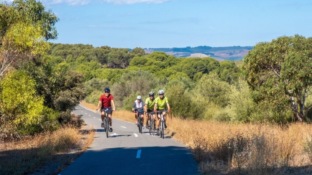
Between Goolwa and Victor Harbour on the Fleurieu Peninsula 90km south of Adelaide
28 km


Mount Barker Rail Trail
33km southeast of Adelaide
5 km
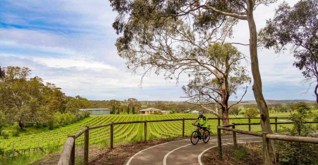
Coast to Vines Rail Trail
Southern Adelaide Suburbs
37 km

Adelaide Hills Amy Gillett Rail Trail
Mount Lofty ranges, 49km east of Adelaide
16 km
Marino Rocks Rail Trail
Marino Rocks
16 km
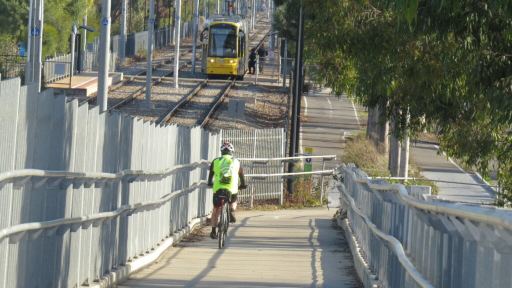
Mike Turtur Bikeway
Between Adelaide city and Glenelg
9 km
Westside Bike Path
2km West of Adelaide.
9 km
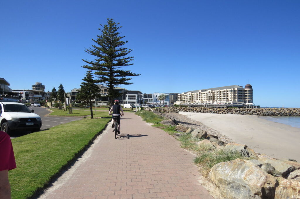
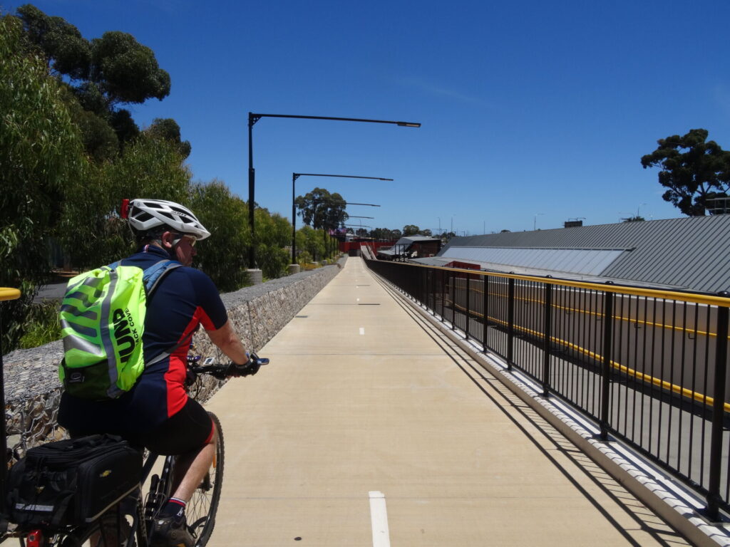
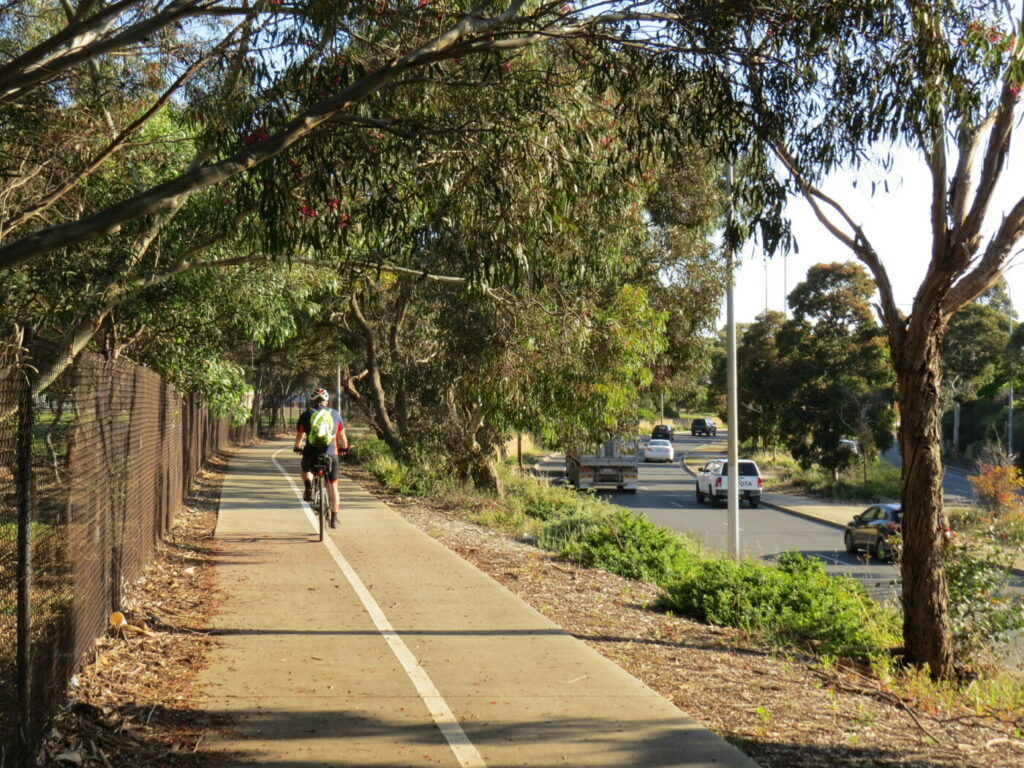
Coast Park Rail Trail
12 Km west of Adelaide CBD
34 km
Stockade Rail Trail
Pooraka, 11km north of Adelaide
2.6 km
Outer Harbour Rail Trail
Port Adelaide, 20km north west of Adelaide
23 km
Parafield Rail Trail
15km north of Adelaide
3 km

Gawler Rail Trail
North of Adelaide CBD
14 km
Penfield Rail Trail
Northern suburb of Adelaide
7 km
Smithfield Magazine Rail Trail
Smithfield Plains, 33kms north of Adelaide
3.5 km
Barossa Rail Trail
Barossa Valley - between Gawler and Angaston
43 km
Kapunda Rail Trail
78km north of Adelaide
1 km
Nearby Trails
Encounter Bikeway
Between Goolwa and Victor Harbour on the Fleurieu Peninsula 90km south of Adelaide
28 km
Mount Barker Rail Trail
33km southeast of Adelaide
5 km
Coast to Vines Rail Trail
Southern Adelaide Suburbs
37 km
Adelaide Hills Amy Gillett Rail Trail
Mount Lofty ranges, 49km east of Adelaide
16 km
Marino Rocks Rail Trail
Marino Rocks
16 km
Mike Turtur Bikeway
Between Adelaide city and Glenelg
9 km
Westside Bike Path
2km West of Adelaide.
9 km
Coast Park Rail Trail
12 Km west of Adelaide CBD
34 km
Stockade Rail Trail
Pooraka, 11km north of Adelaide
2.6 km
Outer Harbour Rail Trail
Port Adelaide, 20km north west of Adelaide
23 km
Parafield Rail Trail
15km north of Adelaide
3 km
Gawler Rail Trail
North of Adelaide CBD
14 km
Penfield Rail Trail
Northern suburb of Adelaide
7 km
Smithfield Magazine Rail Trail
Smithfield Plains, 33kms north of Adelaide
3.5 km
Barossa Rail Trail
Barossa Valley - between Gawler and Angaston
43 km
Kapunda Rail Trail
78km north of Adelaide
1 km
