
The trail is a pleasant path along a linear park adjacent to the Adelaide to Gawler railway, connecting Mawson Lakes with the southern suburbs of Salisbury. It is mostly flat and is ideal for children and novice riders.
There are no facilities along this trail.
Parafield Airport lies to the east of the trail.
At Mawson Lakes, connect to the Dry Creek Trail.
At the northern end, quiet streets on the western side of the rail reserve link to Salisbury for connections to the Penfield Rail Trail and Little Para River Trail.
Nearby Attractions
- Mawson Lakes for shopping, cafes, linear parks.
- Classic Jets Fighter Museum at Parafield Airport.
- Access to Dry Creek Trail at Mawson Lakes and other trails in Salisbury.
- Rail access at both ends of the trail.
Last updated: 29 February 2024
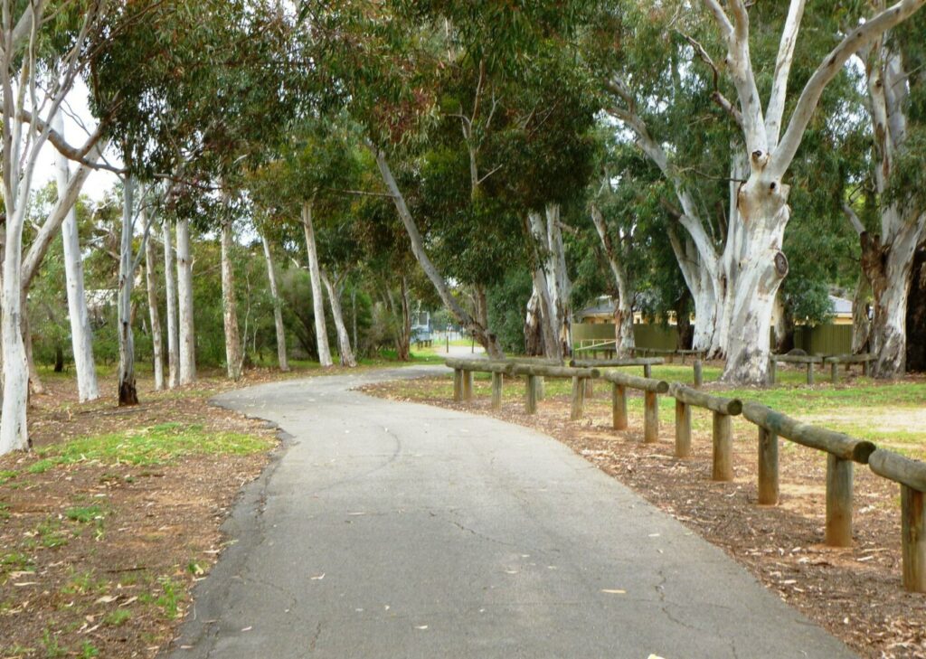
The Parafield Rail Trail features a sealed surface of good width, well sheltered by trees and shrubs along its length. Trail start is at Mawson Lakes Interchange and end is at Parafield Station. The trail is separated from the Adelaide – Gawler railway by a watercourse. Greenfields station is the only intermediate station accessible from the trail via a narrow footbridge.
Section Guides
Mawson Lakes Interchange to Parafield Station (3.0km)
From the station interchange, proceed north under the road overpass to find the trail start point. Cross the footbridge over a creek and turn left onto the trail. 300m from the trail start, a narrow footbridge on the left gives access to another path linking to Greenfields Station.
The trail has good shelter from trees and shrubs on both sides. Parafield Airport is to the right and aircraft are frequently observed.
The Rail Trail ends at Parafield station at Kings Road where a small bridge links to the station carpark.
Side Trails
Alternate Return (3.0 km)
At Parafield station cross the railway line and turn left onto a cyclepath. Follow the railway south on a combination of cyclepaths and quiet back streets, returning to Mawson Lakes Interchange. This route will eventually form part of the Gawler Greenway Rail Trail.
Parafield Airport (0.5 km)
From Parafield station the sealed trail continues eastward, parallelling Kings Road. The trail ends after 500m at Dakota Drive. Quiet roads can be followed from here to the Classic Jets Fighter Museum.
Dry Creek Trail
The Dry Creek Trail is a 21.4km trail which follows Dry Creek from the Tapa Martinthi Trail in the west to Wynn Vale Dam in the east. Mostly gentle grades make it an easy ride for most abilities. This trail can be accessed immediately south of Mawson Lakes Interchange.
Stockade Rail Trail
The Stockade Rail Trail is a 2.6 km trail on the old Dry Creek to Stockade/Northfield line. Travel via the Dry Creek Trail to reach Stockade.
Levels to City Bikeway
The Levels to City Bikeway extends from Mawson Lakes to the City. However the Mawson Lakes to Pooraka section uses busy roads and is not recommended (use the Dry Creek Trail instead). The Pooraka to City section is all sealed and uses a combination of quiet back streets and sealed shared use paths.
Penfield Rail Trail
The Penfield Rail Trail is a 7 km trail which starts at Salisbury station, 3.2 kms north of Parafield station. Quiet back streets can be used to travel to Salisbury.
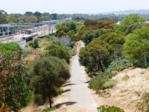
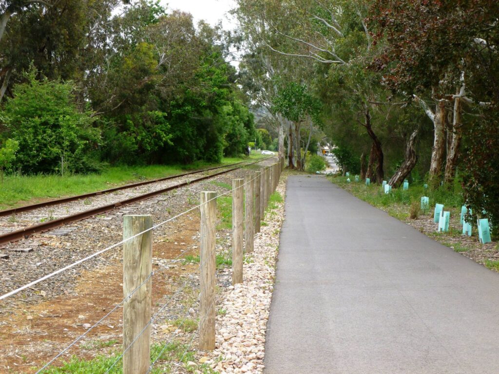
Trail passing Greenfields Railway Station - Nov 23
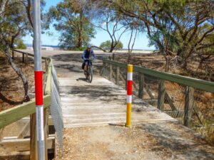
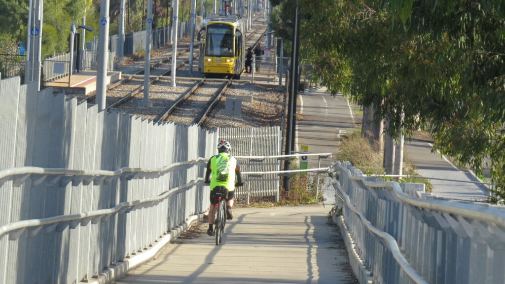
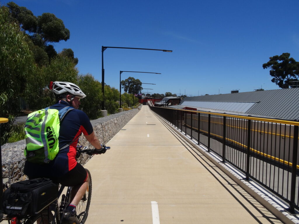
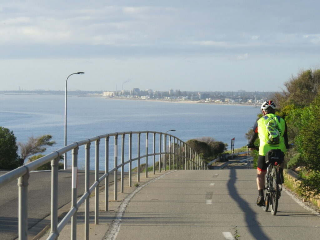
Trail connects to Kings Road shared use path via a small bridge - Feb 24
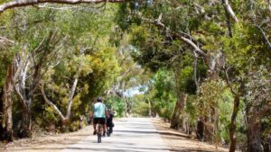
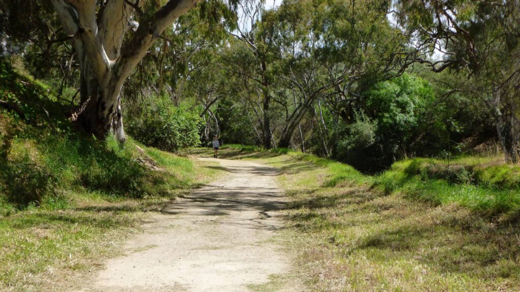
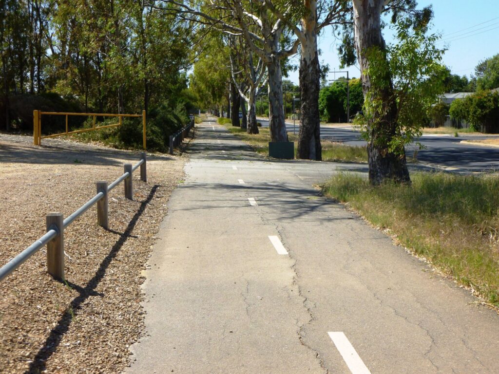
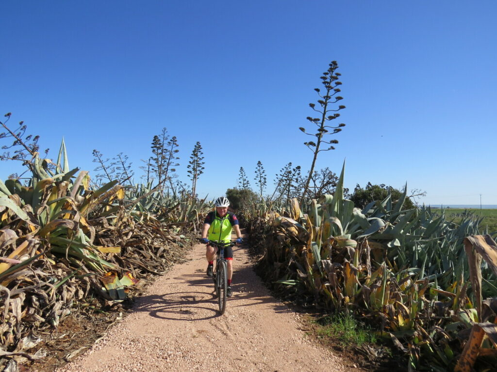
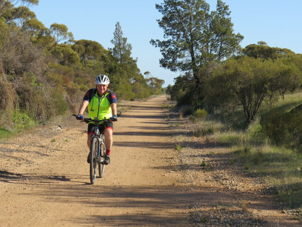
the vegetation on the side of the trail offers cyclists good protection from the elements - Feb 24
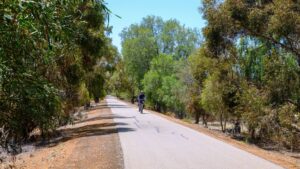
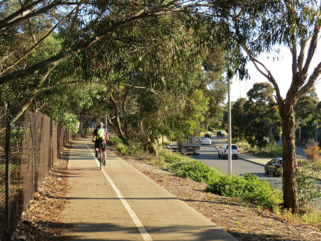
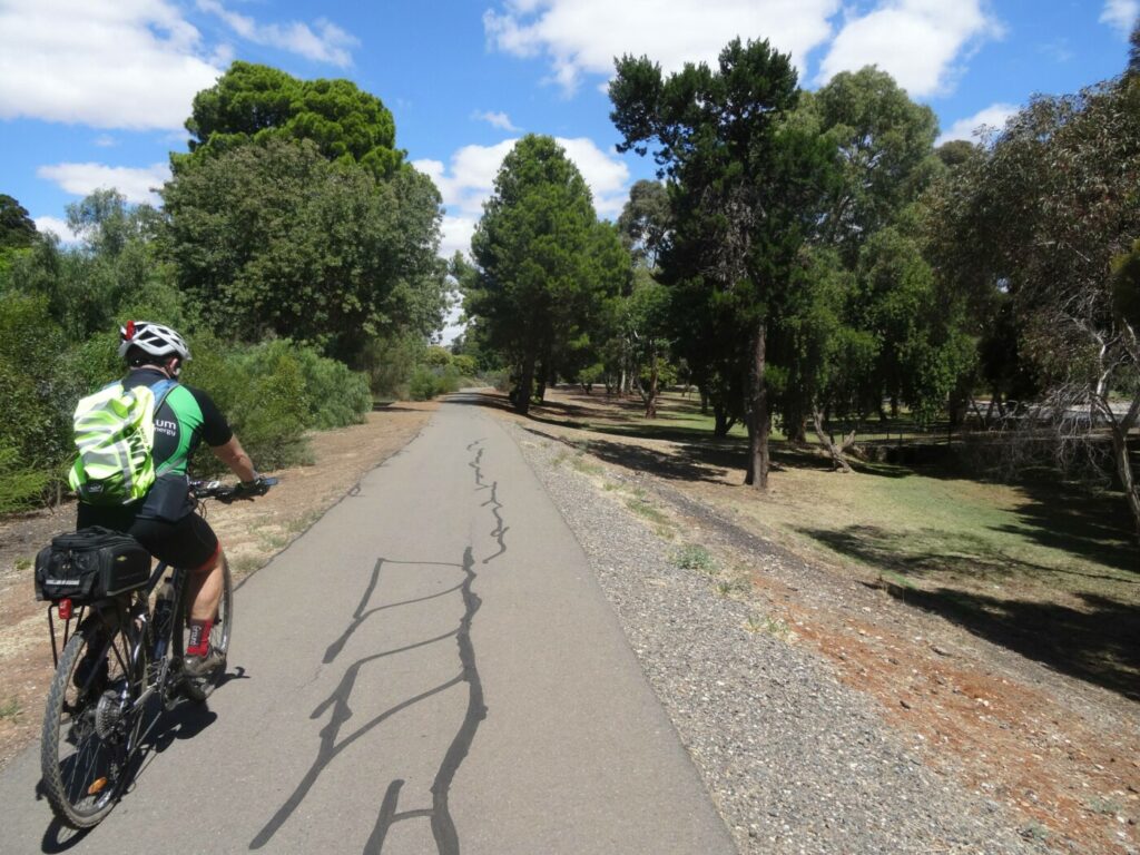
Cyclist using the trail near Greenfields Station - Feb 24
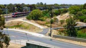
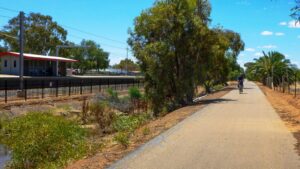
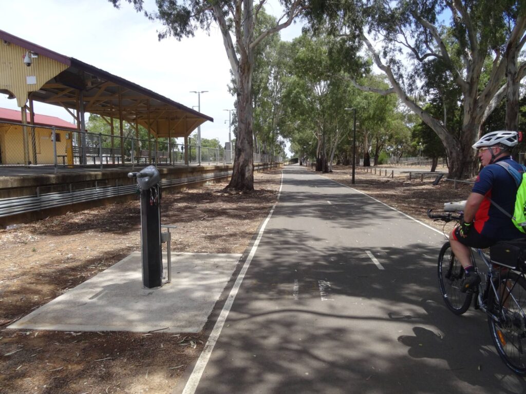
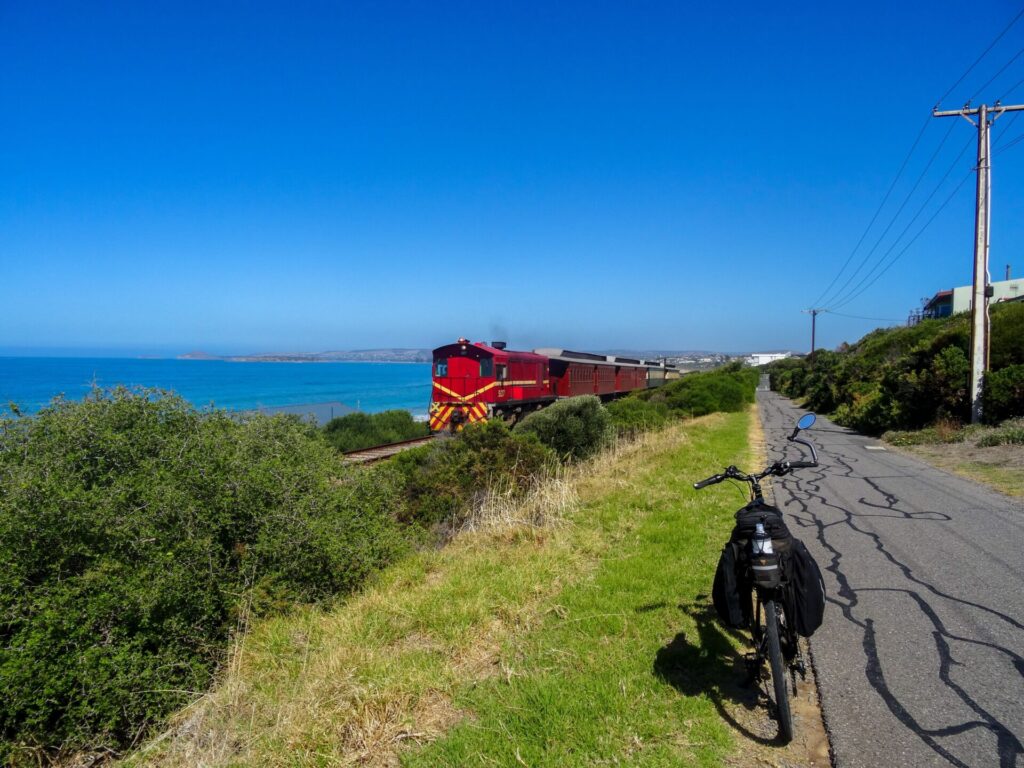
Leaving Mawson Lakes with the trail on the right and the train on the left - Feb 24
view along the trail from Mawson Lakes with railway on the left - Feb 24
Trail passing Greenfields Railway Station - Nov 23
Do you know of a bike hire or transportation service on this rail trail that should appear here? If so, let us know at admin@railtrails.org.au.
Information and Links
The trail is managed by The City of Salisbury. To report any issues or problems:
Ph: 08 8406 8222 or city@salisbury.sa.gov.au
For further information go to:
Rail timetables at Adelaide Metro
Information about Dry Creek Linear Park – Mawson Lakes
Information about Dry Creek Linear Park
Contact Rail Trails Australia
To contact us about this rail trail, email sa@railtrails.org.au
Background Information
Traditional Owners
We acknowledge the Kaurna people, the traditional custodians of the land and waterways on which the rail trail is constructed.
Development and Future of the Rail Trail
The Parafield Rail Trail has been developed over many years and is now an excellent sealed surface with good width.
A new path is planned to be constructed between the railway line and Thomas More College from Kings Road to Alba Court. When complete this will provide a safe and more direct link to Salisbury.
Rail Line History
The Adelaide-Smithfield section of the Gawler line was opened in 1857, making it one of South Australia’s oldest rail lines. In recent years the Gawler line has been electrified and all trains are now modern electric railcars.
Nearby Trails
Stockade Rail Trail
Pooraka, 11km north of Adelaide
2.6 km


Penfield Rail Trail
Northern suburb of Adelaide
7 km

Outer Harbour Rail Trail
Port Adelaide, 20km north west of Adelaide
23 km

Smithfield Magazine Rail Trail
Smithfield Plains, 33kms north of Adelaide
3.5 km
Westside Bike Path
2km West of Adelaide.
9 km
Mike Turtur Bikeway
Between Adelaide city and Glenelg
9 km
Coast Park Rail Trail
12 Km west of Adelaide CBD
34 km
Marino Rocks Rail Trail
Marino Rocks
16 km
Adelaide Hills Amy Gillett Rail Trail
Mount Lofty ranges, 49km east of Adelaide
16 km

Barossa Rail Trail
Barossa Valley - between Gawler and Angaston
43 km
Mount Barker Rail Trail
33km southeast of Adelaide
5 km
Coast to Vines Rail Trail
Southern Adelaide Suburbs
37 km
Kapunda Rail Trail
78km north of Adelaide
1 km
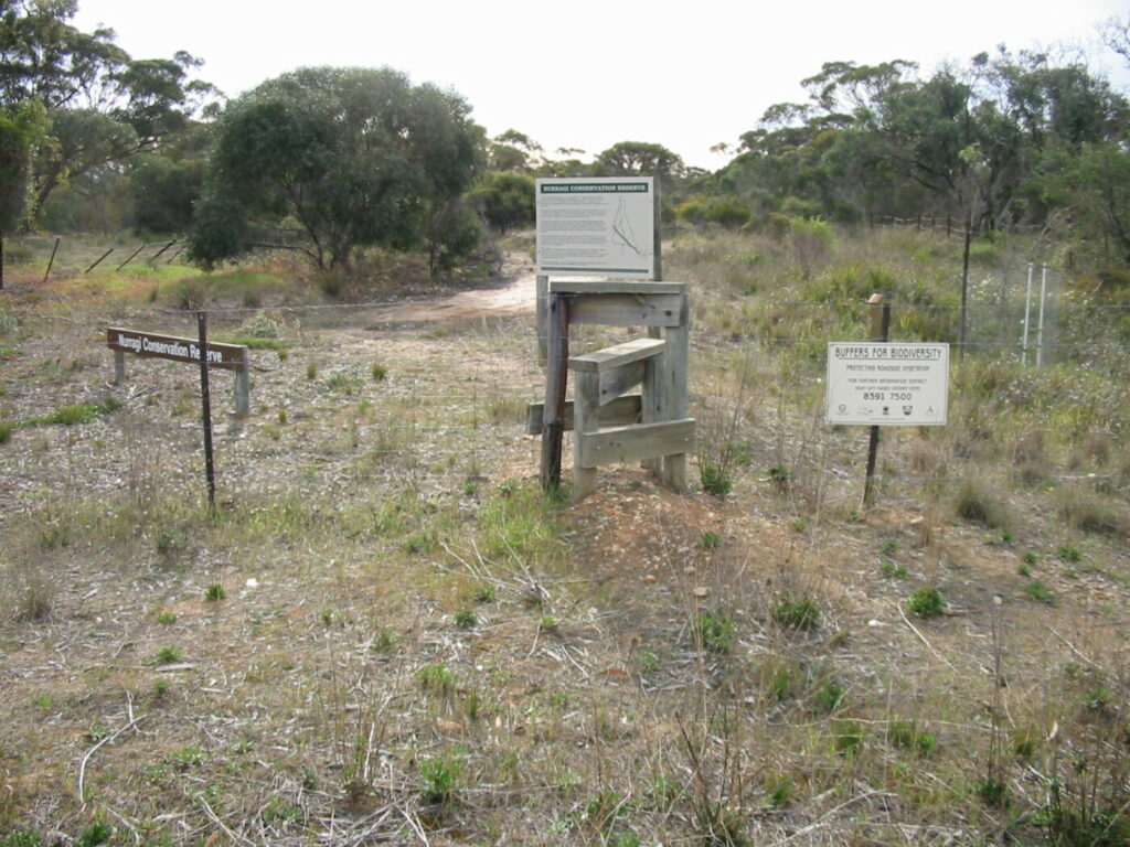
Nurragi Conservation Reserve
Milang approx 70km south east of Adelaide
12 km
Eudunda Rail Trail
112km north of Adelaide
1 km
Encounter Bikeway
Between Goolwa and Victor Harbour on the Fleurieu Peninsula 90km south of Adelaide
28 km
Riesling and Rattler Rail Trail
130km north of Adelaide
53 km
Copper Rail Trail
100km north of Adelaide
26 km
Shamus Liptrot Rail Trail
100km north of Adelaide
11 km

Nearby Trails
Stockade Rail Trail
Pooraka, 11km north of Adelaide
2.6 km
Penfield Rail Trail
Northern suburb of Adelaide
7 km
Outer Harbour Rail Trail
Port Adelaide, 20km north west of Adelaide
23 km
Smithfield Magazine Rail Trail
Smithfield Plains, 33kms north of Adelaide
3.5 km
Westside Bike Path
2km West of Adelaide.
9 km
Mike Turtur Bikeway
Between Adelaide city and Glenelg
9 km
Coast Park Rail Trail
12 Km west of Adelaide CBD
34 km
Marino Rocks Rail Trail
Marino Rocks
16 km
Adelaide Hills Amy Gillett Rail Trail
Mount Lofty ranges, 49km east of Adelaide
16 km
Barossa Rail Trail
Barossa Valley - between Gawler and Angaston
43 km
Mount Barker Rail Trail
33km southeast of Adelaide
5 km
Coast to Vines Rail Trail
Southern Adelaide Suburbs
37 km
Kapunda Rail Trail
78km north of Adelaide
1 km
Nurragi Conservation Reserve
Milang approx 70km south east of Adelaide
12 km
Eudunda Rail Trail
112km north of Adelaide
1 km
Encounter Bikeway
Between Goolwa and Victor Harbour on the Fleurieu Peninsula 90km south of Adelaide
28 km
Riesling and Rattler Rail Trail
130km north of Adelaide
53 km
Copper Rail Trail
100km north of Adelaide
26 km
Shamus Liptrot Rail Trail
100km north of Adelaide
11 km