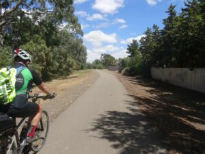
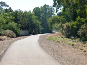
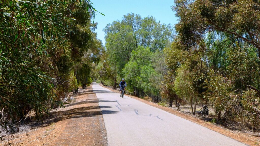
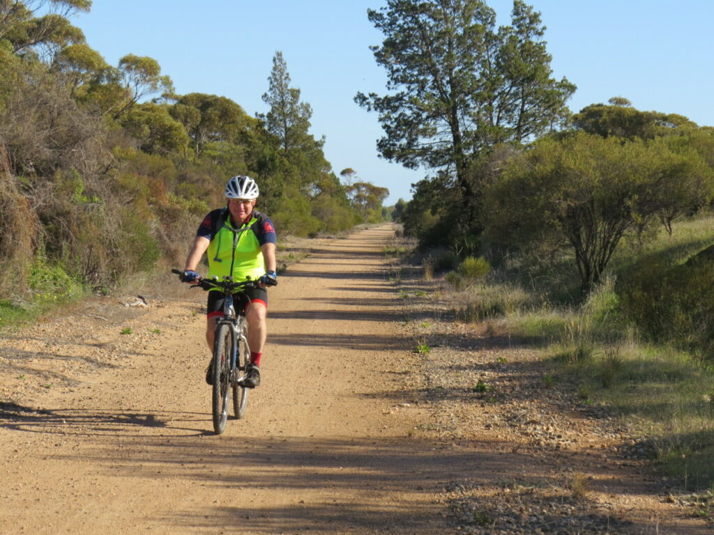
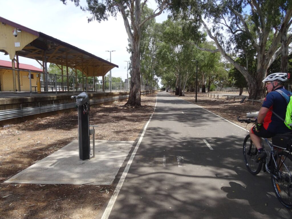
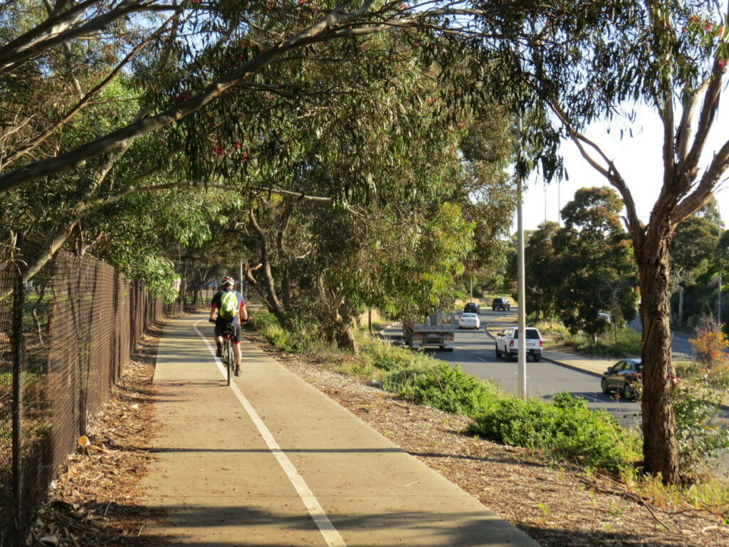
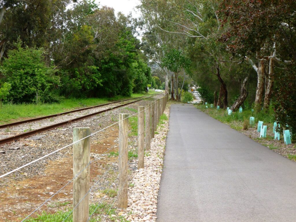
- Pleasant path along a linear park on the old rail reserve It has easy grades, ideal for children and novice riders
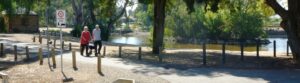
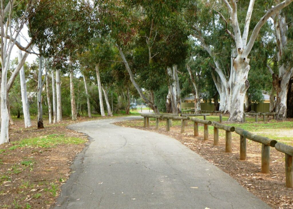
- Davidson Reserve features a large duck pond, picnic facilities and toilets
- Historic copper mines nearby
Nearby Attractions
- Mining history
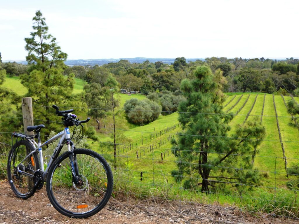
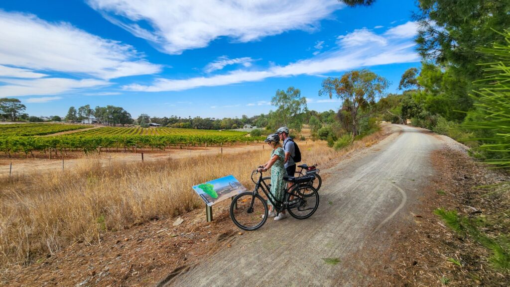
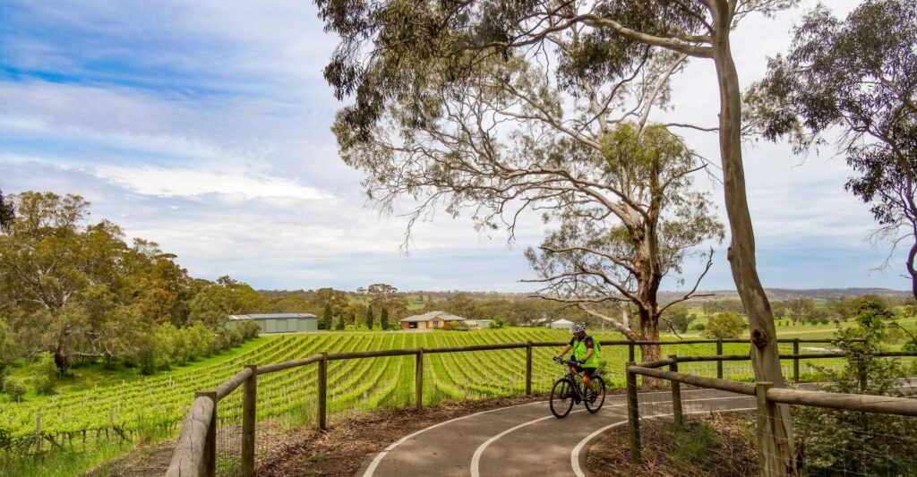
- Rural scenery
- Access to Mawson, Heysen and Kidman Trails
Last updated: 22 November 2022
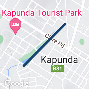
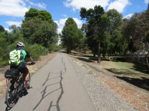
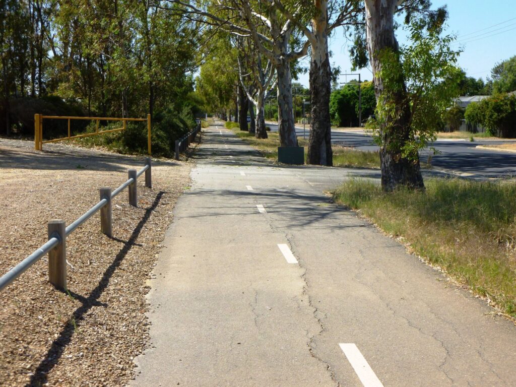
The Kapunda Rail Trail features a smooth hot-mix surface of good width. It is SA’s second shortest rail trail but is well used by cyclists, walkers and runners, especially before and after school. All three of SA’s major long distance trails, Mawson (cycling), Heysen (hiking) and Kidman (horse riding/multi-use) pass along or cross this trail.
There are coffee shops, bakery and restaurants in the nearby main street, and toilets and picnic facilities at Davidson Reserve.
Section Guides
Coghill Street to High Street (0.8 km)
The trail starts on the western side of the Davidson Reserve duck pond on Coghill Street. Some rail remnants are visible adjacent to the path, and the level crossing on Coghill St is intact. An old pumphouse building alongside the trail was used to pump water from the dam for use by steam trains.
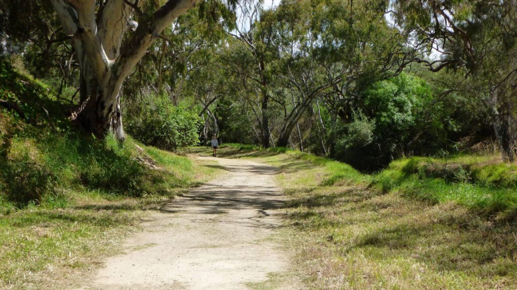
Head north along the linear park, taking care at the two road crossings.
A short diversion to Hill St reveals the Lions Playground Park, complete with an old Rx Class steam locomotive. Adjacent Kapunda swimming pool is nearby in Beck St.
Side Trails
Old Station
To the south of the duck pond, an unsealed road leads to the old station, which is quite grand by country standards and has been kept in good condition and used as a B&B in recent years. Much of the rail and yard infrastructure is still in place.
Rattler and Riesling Rail Trails
The southern end of the Rattler and Riesling Rail Trails can be reached at Riverton, about 30 km northwest of Kapunda, by road or via the Mawson Trail.
Barossa Rail Trail
The Barossa Rail Trail can be reached at Nuriootpa, 22 km southeast of Kapunda, by road or via the Mawson Trail.
near High Street 2020
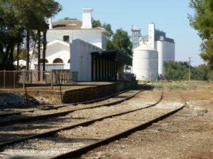
Kapunda Station 2020
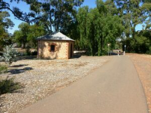
steam train pump house next to Davidson Reserve pond 2020
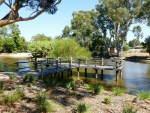
Davidson Reserve pond with pump house in the Background 2020
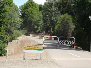
road crossing with sign showing the local name for the trail Swann Path 2020
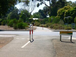
Baker Street road crossing 2020

Davidson Reserve 2020
Do you know of a bike hire or transportation service on this rail trail that should appear here? If so, let us know at admin@railtrails.org.au.
Information and Links
The trail is managed by Light Regional Council. To report problems contact light@light.sa.gov.au or phone (08) 8525 3200.
For more information:
Contact Rail Trails Australia
To contact us about this rail trail, email sa@railtrails.org.au
Background Information
Traditional Owners
We acknowledge the Kaurna people, the traditional custodians of the land and waterways on which the rail trail is built.
Development and Future of the Rail Trail
While informal trails have existed within the railway reserve for decades, it is only since the line closure and removal of the tracks that attractive linear path and sealed rail trail has been established.
The Swann Path Kapunda Rail Trail opened in 2015. There are plans to extend the trail south 1.5 km to Bethel Rd and it is hoped the Kapunda Trail will eventually form part of a future Wine Capital Trail which will run from the Clare Valley to McLaren Vale via the Barossa Valley and Adelaide Hills wine regions.
Rail Line History
Kapunda became the first mining town in South Australia soon after copper was discovered in 1842. Mining began in 1844 and continued until 1879, when world copper prices fell. Although copper was mined for only a brief period, revenue from its sales saved South Australia from bankruptcy.
When the railway opened in 1860, Kapunda became the rural centre for the Mid-North of the State. The first section of the line from Gawler to Kapunda was built to serve the mines and opened in August 1860. It was extended to Morgan in 1878 to provide a more efficient freight and passenger connection between the Murray paddle steamers and both the city of Adelaide and Port Adelaide for ocean transport.
The Eudunda to Morgan section closed in 1969, and the line was removed not long after. The Kapunda to Eudunda section was closed in 1994, with the deterioration of the River Light bridge at Hansborough cited as a reason for closure. This section was pulled up the following year. The remaining Gawler to Kapunda section was leased by the SA Government to Australian Southern Railroad in 1997 as part of AN’s SA freight asset sale to Genesee and Wyoming. While it theoretically remains open, it has not been used for many years.
Nearby Trails
Eudunda Rail Trail
112km north of Adelaide
1 km


Barossa Rail Trail
Barossa Valley - between Gawler and Angaston
43 km

Smithfield Magazine Rail Trail
Smithfield Plains, 33kms north of Adelaide
3.5 km
Riesling and Rattler Rail Trail
130km north of Adelaide
53 km
Penfield Rail Trail
Northern suburb of Adelaide
7 km
Parafield Rail Trail
15km north of Adelaide
3 km
Shamus Liptrot Rail Trail
100km north of Adelaide
11 km


Stockade Rail Trail
Pooraka, 11km north of Adelaide
2.6 km
Copper Rail Trail
100km north of Adelaide
26 km
Adelaide Hills Amy Gillett Rail Trail
Mount Lofty ranges, 49km east of Adelaide
16 km
Outer Harbour Rail Trail
Port Adelaide, 20km north west of Adelaide
23 km
Westside Bike Path
2km West of Adelaide.
9 km
Mike Turtur Bikeway
Between Adelaide city and Glenelg
9 km
Coast Park Rail Trail
12 Km west of Adelaide CBD
34 km
Mount Barker Rail Trail
33km southeast of Adelaide
5 km
Marino Rocks Rail Trail
Marino Rocks
16 km
Coast to Vines Rail Trail
Southern Adelaide Suburbs
37 km
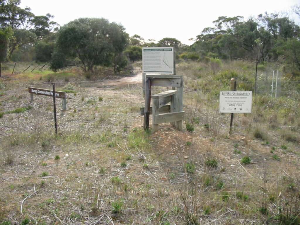
Nurragi Conservation Reserve
Milang approx 70km south east of Adelaide
12 km
Nearby Trails
Eudunda Rail Trail
112km north of Adelaide
1 km
Barossa Rail Trail
Barossa Valley - between Gawler and Angaston
43 km
Smithfield Magazine Rail Trail
Smithfield Plains, 33kms north of Adelaide
3.5 km
Riesling and Rattler Rail Trail
130km north of Adelaide
53 km
Penfield Rail Trail
Northern suburb of Adelaide
7 km
Parafield Rail Trail
15km north of Adelaide
3 km
Shamus Liptrot Rail Trail
100km north of Adelaide
11 km
Stockade Rail Trail
Pooraka, 11km north of Adelaide
2.6 km
Copper Rail Trail
100km north of Adelaide
26 km
Adelaide Hills Amy Gillett Rail Trail
Mount Lofty ranges, 49km east of Adelaide
16 km
Outer Harbour Rail Trail
Port Adelaide, 20km north west of Adelaide
23 km
Westside Bike Path
2km West of Adelaide.
9 km
Mike Turtur Bikeway
Between Adelaide city and Glenelg
9 km
Coast Park Rail Trail
12 Km west of Adelaide CBD
34 km
Mount Barker Rail Trail
33km southeast of Adelaide
5 km
Marino Rocks Rail Trail
Marino Rocks
16 km
Coast to Vines Rail Trail
Southern Adelaide Suburbs
37 km
Nurragi Conservation Reserve
Milang approx 70km south east of Adelaide
12 km