
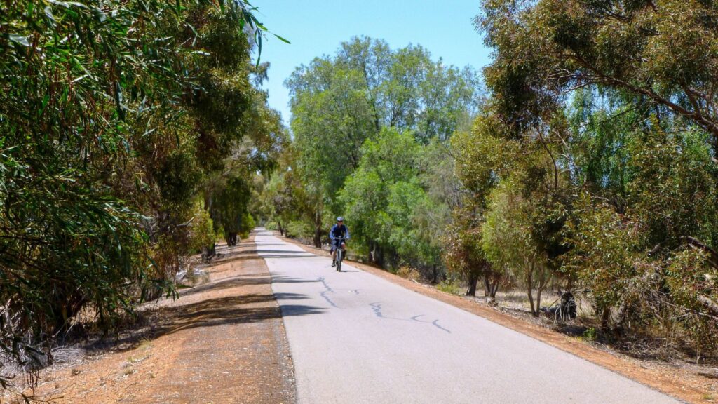
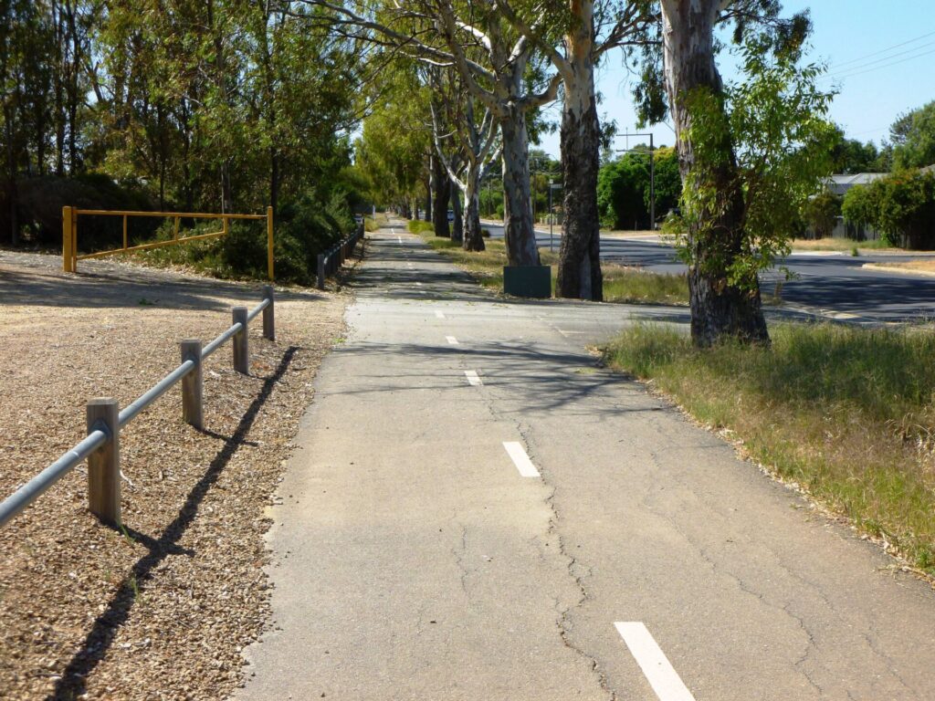
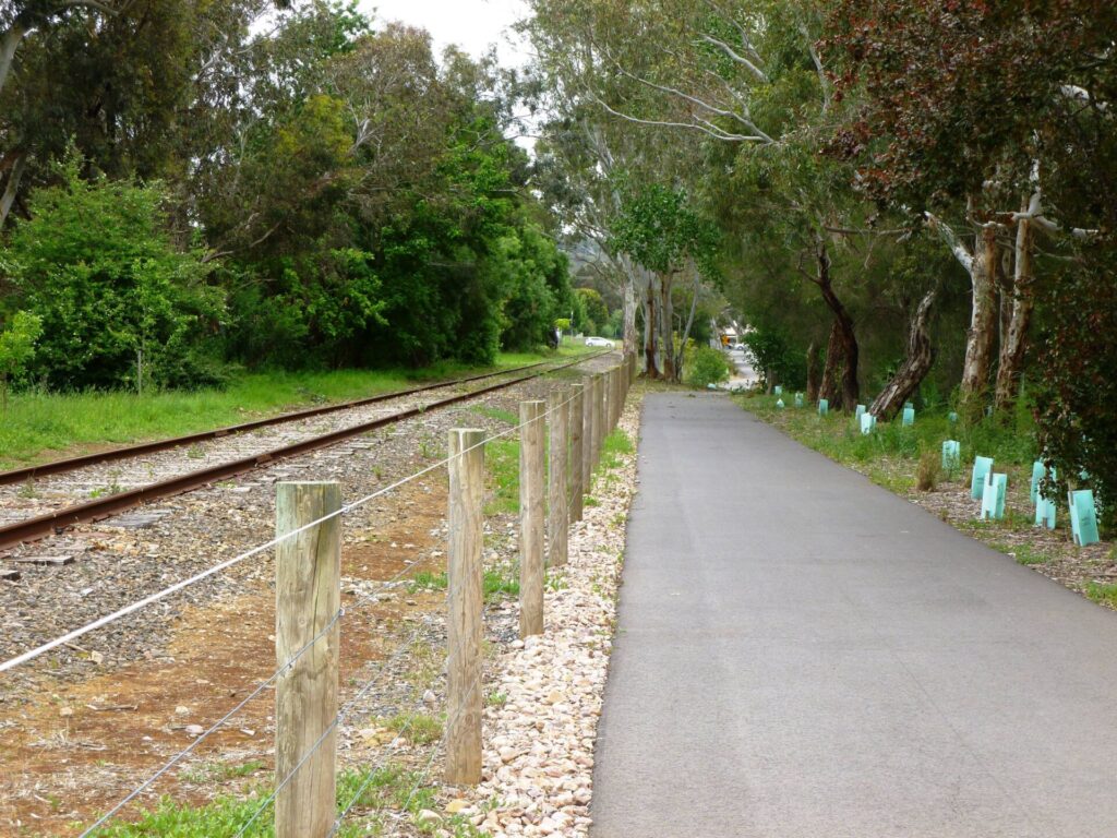
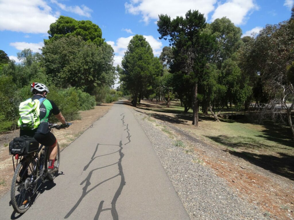
The trail is a pleasant path along a linear park on and adjacent to the old rail reserve. It has easy grades and is ideal for children and novice riders. The Dry Creek section is rougher with some steep slopes.
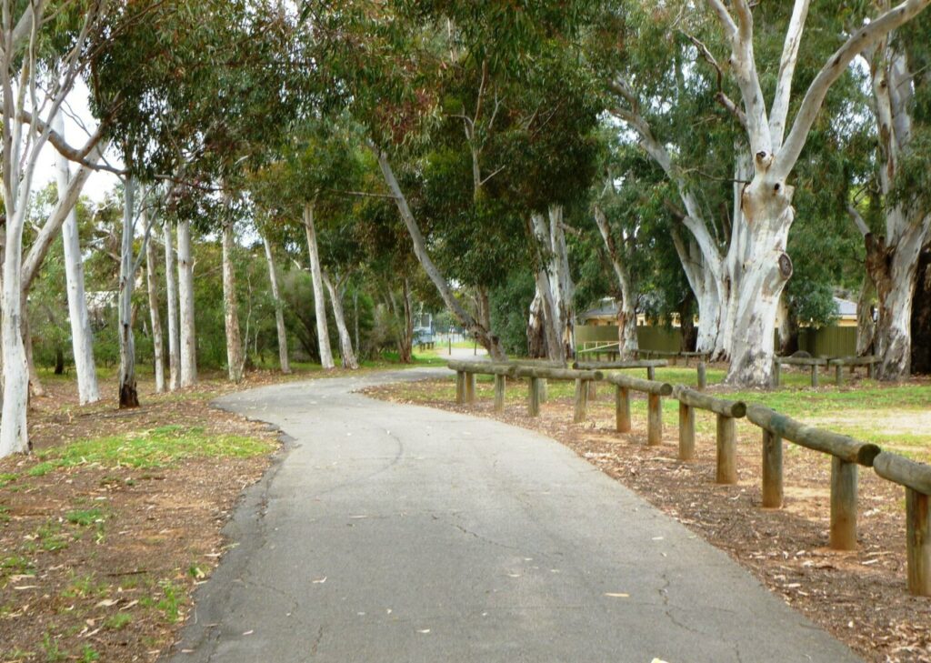
Unity Park features numerous paths, wetlands, parking, picnic facilities and toilets.
Stockade Botanic Park features gardens, barbecues, picnic areas and toilets.
View the historic quarry and prison nearby.
Nearby Adelaide Super-Drome is the headquarters for the Australian Institute of Sport’s Track Cycling Program.
Nearby Attractions
- Quarry and prison history
- Parklands with wetlands
- Access to Dry Creek Trail and The Levels – City Bikeway
- Nearby Adelaide Super-Drome
Last updated: 28 April 2024
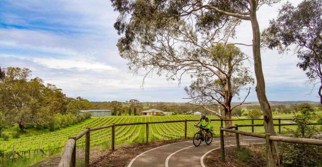
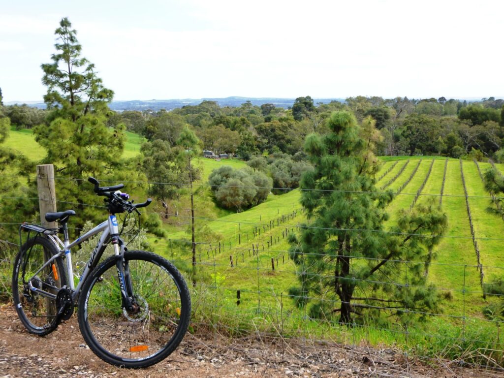
The Stockade Rail Trail features a gravel surface of good width, ranging from smooth fine gravel through Unity Park to some rougher gravel sections along Dry Creek.
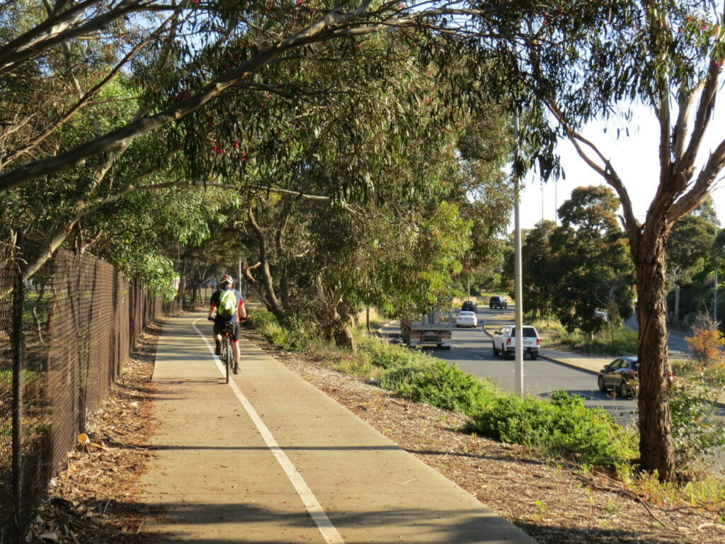
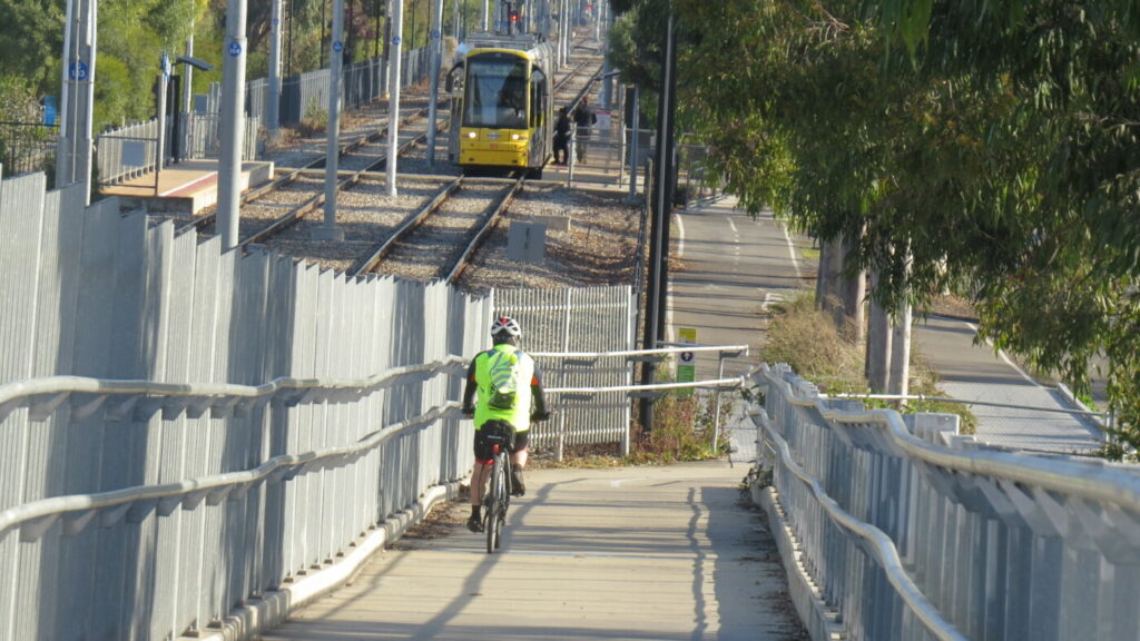
The Levels – City Bikeway crosses the trail at the western edge of Unity Park giving access to/from the city via quiet back streets and the Torrens Linear Park Shared Use Path.
Dry Creek Trail is an off-road trail which follows Dry Creek from the Barker Wetlands, through Mawson Lakes and continues to Wynn Vale Lake. Part of Stockade Rail Trail uses the Dry Creek Trail.
Food outlets located within the Gepps Cross Homemaker Centre opposite the trail start, and to the north in Pooraka.
Bridgeway Hotel on Bridge Road near crossing point.
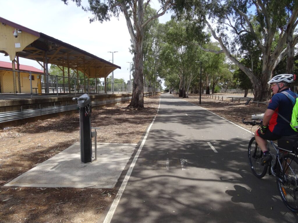
Toilets and picnic facilities in Unity Park and Stockade Botanic Park.
Section Guides
Main North Road to Bridge/Briens Road (1.5km)
The trail starts on the eastern side of Main North Rd. The railway reserve is still clearly visible, flanked by rows of tall gums. Some rail remnants are still visible adjacent to the path. Pooraka station was located on the western side of Main North Rd. There is a pleasant park with ‘Winds of Change’ sculptures immediately north of the trail start.
Head east along the trail, bypassing the vehicle control gates if closed. Cross The Levels – City Bikeway as you enter Unity Park where there are a number of path options allowing exploration of Unity Park. Toilets and facilities are located close to South Terrace.
Northfield station was located on what is now the Cross Keys BMX Club and Pooraka Skate Park.
Bridge/Briens Road to Stockade (1.1km)
Cross Bridge/Briens Rd at the traffic lights.
The original Northfield / Stockade station was on the eastern side of Briens Rd. The site is now a works depot for the Department of Infrastructure and Transport which prevents access to the old rail reserve.
Turn left onto the eastern Briens Rd footpath and proceed 200m north to access the Dry Creek Trail. Take care on the first part of this trail with a steep descent and climb on a loose surface.
On the eastern side of the works depot the trail rejoins the old rail reserve and there are several paths to choose from. The lower path with dark gravel is the old rail alignment.
Alternate Route – Turn right onto the eastern Briens Rd footpath and proceed 100m south to Howard Road. Follow Howard Rd uphill and enter Stockade Botanical Park. Turn into the car park and access the path near the toilet block. The park area is accessed by turning right onto the shared use path. To rejoin the rail reserve, turn left and proceed east onto a gravel path which drops steeply to join the Dry Creek Trail. The steep section is best traversed with caution.
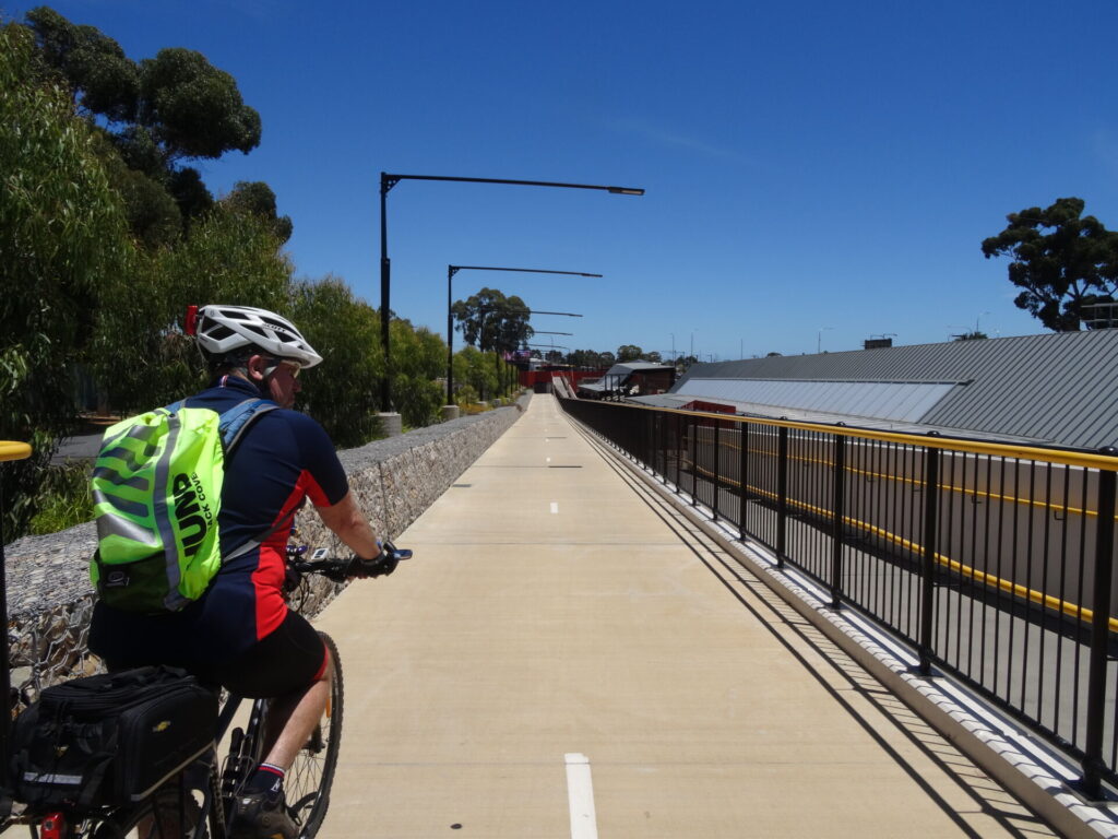
Records are vague as to how far the railway continued but it is believed it ended somewhere near the first quarry where there is an unusual steel walkway. This is Yatala Guard Tower 1 from which prison guards supervised prisoners working in the quarry. There are a number of historical sites nearby and Yatala Prison sits atop the hill to the southeast.
Side Trails
Dry Creek Trail
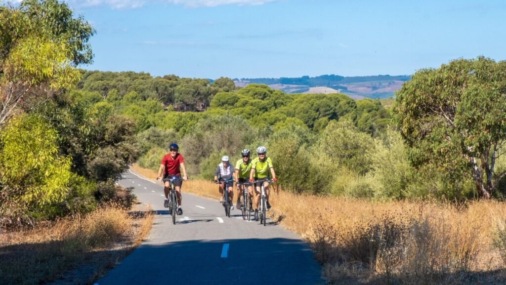
The Dry Creek Trail is a 21.4km trail which follows Dry Creek from the Tapa Martinthi Trail in the west to Wynn Vale Dam in the east. Mostly gentle grades make it an easy ride for most abilities.
Levels to City Bikeway
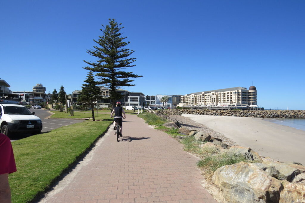
The Levels to City Bikeway extends from Mawson Lakes to the City, however the Mawson Lakes to Pooraka section uses busy roads and is not recommended. The Pooraka to City section is all sealed and uses a combination of quiet back streets and sealed shared use paths.
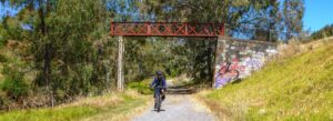
the trail with the Yatala Prison guard tower above it - Nov 23
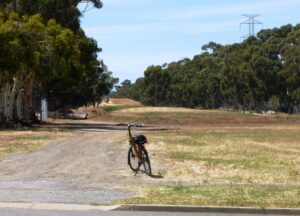
Trail start Main North Road - Nov 23
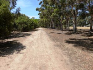
Trail follows the large eucalypts on the sides of the old rail corridor - Nov 23
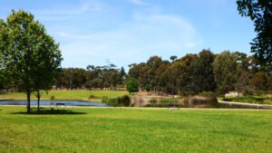
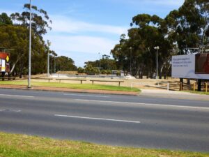
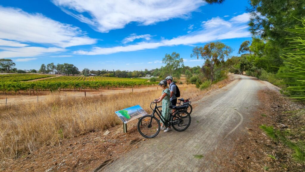
Trail adjacent to the Unity Park wetlands - Nov 23
the old Station Site is now a BMX track - Nov 23
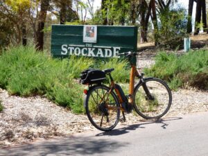
Stockade Park entrance - Nov 23
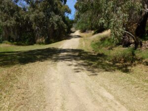
Dry Creek Trail below the old rail corridor - Nov 23

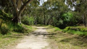
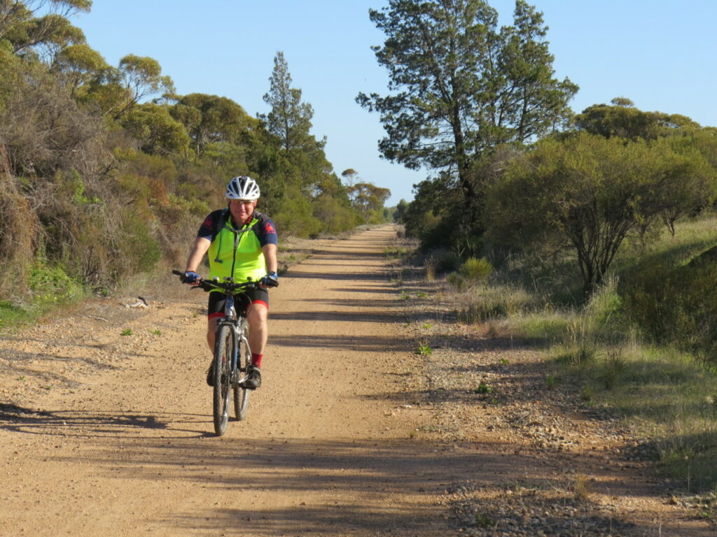
Dry Creek Trail upper level - Nov 23
junction of the Stockade Rail Trail and Dry Creek Trail - Nov 23
Do you know of a bike hire or transportation service on this rail trail that should appear here? If so, let us know at admin@railtrails.org.au.
Information and Links
The trail is managed by The City of Salisbury and The City of Port Adelaide Enfield (the rail reserve is the council boundary). To report any issues or problems:
City of Salisbury – North of railway easement
Ph: 08 8406 8222 or
ci**@sa*******.au
City of Port Adelaide Enfield – South of railway easement
Ph: 08 8405 6600 or
se*****@ci*******.au
For further information go to:
YouTube video of Dry Creek to Stockade Railway
Information about Dry Creek Linear Park
Information about Dry Creek Linear Park – Mawson Lakes
Information about Unity Park
Information about Stockade Botanic Park
Information about Adelaide Super-drome
Rail timetables at Adelaide Metro
Contact Rail Trails Australia
To contact us about this rail trail, email sa@railtrails.org.au
Background Information
Traditional Owners
We acknowledge the Kaurna people, the traditional custodians of the land and waterways on which the rail trail is constructed.
Development and Future of the Rail Trail
Whilst informal trails have existed within the railway reserve for decades, it is only since the line closure and removal of the tracks that the opportunity has existed for the establishment of an attractive park and rail trail.
Rail Line History
The Northfield railway line (formerly Stockade railway line) was a railway in northern Adelaide running between Dry Creek station and Northfield. The line branched east from the Gawler railway line just north of Dry Creek station. The Stockade line (originally terminating at Stockade railway station) was opened on 1 June 1857 at the same time as the Adelaide-Smithfield section of what is now the Gawler line, making it one of South Australia’s oldest rail lines. It was built to carry stone from the quarries behind Yatala Labour Prison. There was one, possibly two, turntables in the vicinity of Stockade station. Originally intended only for freight, the line also later catered for passenger traffic.
The terminus station Stockade was closed in 1961. The turntable was removed and the terminus was relocated to the western side of Briens Rd and renamed as Northfield. Northfield station consisted of a single platform and shelter on the western side of Briens Rd.
The last passenger trains to Northfield ran in 1987. Livestock continued to be delivered by rail to the Gepps Cross Abattoirs and Livestock Markets sale-yards until 1995. The stations were subsequently demolished and the track was lifted. In 2019, overgrown remains of Cavan railway station, Pooraka railway station and the rail corridor between Cavan and Pooraka, were all that remained of the line.
Nearby Trails
Parafield Rail Trail
15km north of Adelaide
3 km


Gawler Rail Trail
North of Adelaide CBD
14 km

O-Bahn Busway Rail Trail
Commences from Adelaide CBD
16 km
Outer Harbor Greenway Rail Trail
Port Adelaide, 20km north west of Adelaide
23 km
Penfield Rail Trail
Northern suburb of Adelaide
7 km
Westside Bike Path
2km West of Adelaide.
9 km
Mike Turtur Bikeway
Between Adelaide city and Glenelg
9 km
Coast Park Rail Trail
12 Km west of Adelaide CBD
34 km
Smithfield Magazine Rail Trail
Smithfield Plains, 33kms north of Adelaide
3.5 km
Marino Rocks Rail Trail
Marino Rocks
16 km
Adelaide Hills Amy Gillett Rail Trail
Mount Lofty ranges, 49km east of Adelaide
16 km

Mount Barker Rail Trail
33km southeast of Adelaide
5 km
Coast to Vines Rail Trail
Southern Adelaide Suburbs
37 km
Barossa Rail Trail
Barossa Valley - between Gawler and Angaston
43 km
Kapunda Rail Trail
78km north of Adelaide
1 km
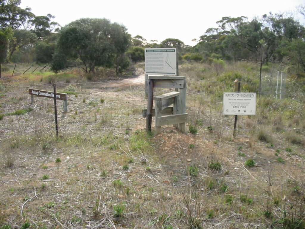
Nurragi Conservation Reserve
Milang approx 70km south east of Adelaide
12 km
Encounter Bikeway
Between Goolwa and Victor Harbour on the Fleurieu Peninsula 90km south of Adelaide
28 km
Eudunda Rail Trail
112km north of Adelaide
1 km
Riesling and Rattler Rail Trail
130km north of Adelaide
53 km
Copper Rail Trail
100km north of Adelaide
26 km
Shamus Liptrot Rail Trail
100km north of Adelaide
11 km

Nearby Trails
Parafield Rail Trail
15km north of Adelaide
3 km
Gawler Rail Trail
North of Adelaide CBD
14 km
O-Bahn Busway Rail Trail
Commences from Adelaide CBD
16 km
Outer Harbor Greenway Rail Trail
Port Adelaide, 20km north west of Adelaide
23 km
Penfield Rail Trail
Northern suburb of Adelaide
7 km
Westside Bike Path
2km West of Adelaide.
9 km
Mike Turtur Bikeway
Between Adelaide city and Glenelg
9 km
Coast Park Rail Trail
12 Km west of Adelaide CBD
34 km
Smithfield Magazine Rail Trail
Smithfield Plains, 33kms north of Adelaide
3.5 km
Marino Rocks Rail Trail
Marino Rocks
16 km
Adelaide Hills Amy Gillett Rail Trail
Mount Lofty ranges, 49km east of Adelaide
16 km
Mount Barker Rail Trail
33km southeast of Adelaide
5 km
Coast to Vines Rail Trail
Southern Adelaide Suburbs
37 km
Barossa Rail Trail
Barossa Valley - between Gawler and Angaston
43 km
Kapunda Rail Trail
78km north of Adelaide
1 km
Nurragi Conservation Reserve
Milang approx 70km south east of Adelaide
12 km
Encounter Bikeway
Between Goolwa and Victor Harbour on the Fleurieu Peninsula 90km south of Adelaide
28 km
Eudunda Rail Trail
112km north of Adelaide
1 km
Riesling and Rattler Rail Trail
130km north of Adelaide
53 km
Copper Rail Trail
100km north of Adelaide
26 km
Shamus Liptrot Rail Trail
100km north of Adelaide
11 km
