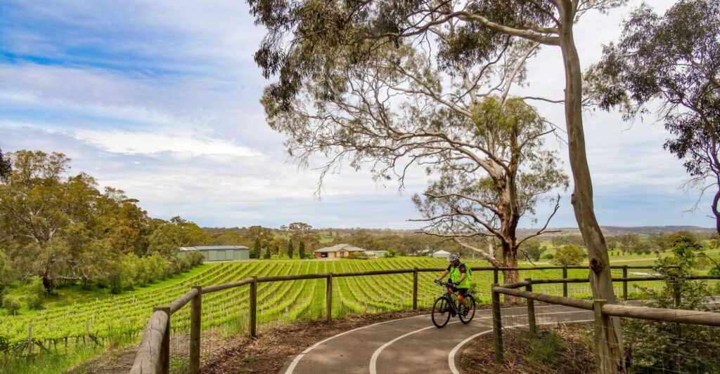
The trail is a pleasant path along a linear park adjacent to Davoren Road, connecting Smithfield Interchange with the old Smithfield Magazine. It follows the alignment of the historic Smithfield Magazine railway line.
There are public toilets, BBQs and picnic facilities at Stebonheath Park.
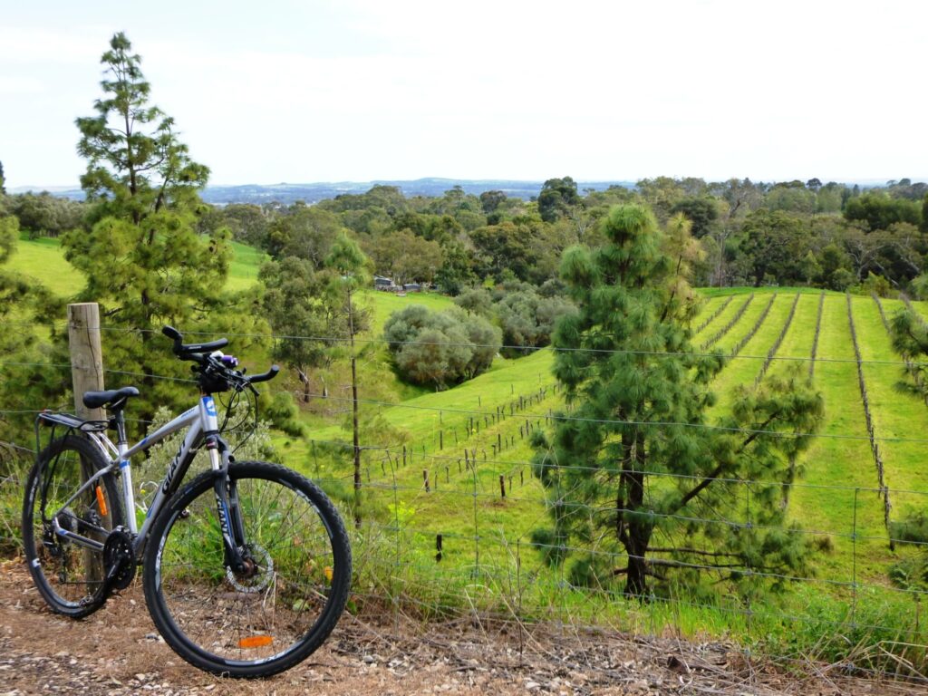
From Smithfield Magazine, connect to the Stuart O’Grady bikeway.
Nearby Attractions
- Munno Para shopping centre for shopping, cafes, fast food.
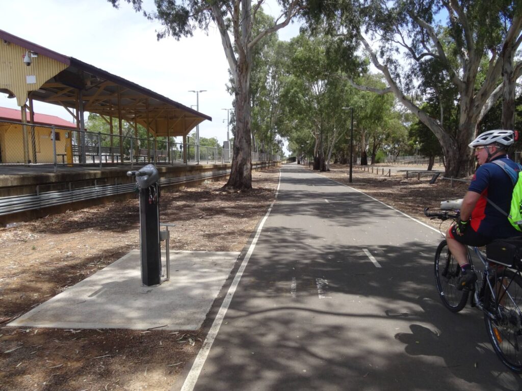
- Rail access at Smithfield
- Stebonheath Park
- Parkrun at Stebonheath Park
- Access to Stuart O’Grady bikeway.
- Access to Penfield Rail Trail
Last updated: 28 April 2024
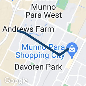
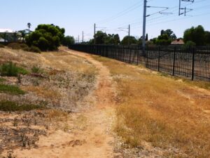
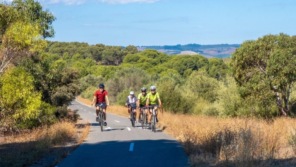
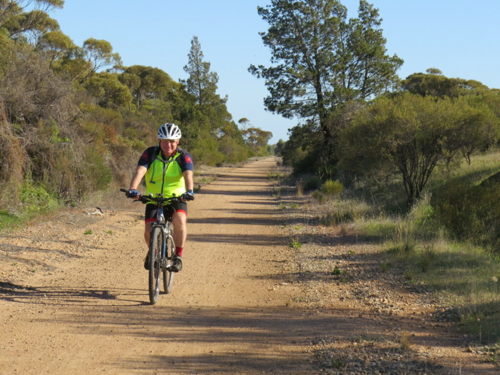
The Smithfield Magazine Rail Trail features an off-road shared path with a sealed surface of good width, an on-road section between Arcadia Drive and Peachey Roads, and some unsealed trail near Smithfield station (this can be avoided on quiet back streets). Trail start is at Smithfield Interchange and end is at Smithfield Magazine on Andrews Rd.
Section Guides
Smithfield Interchange to Peachey Road (1.8km)
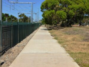
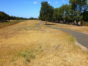
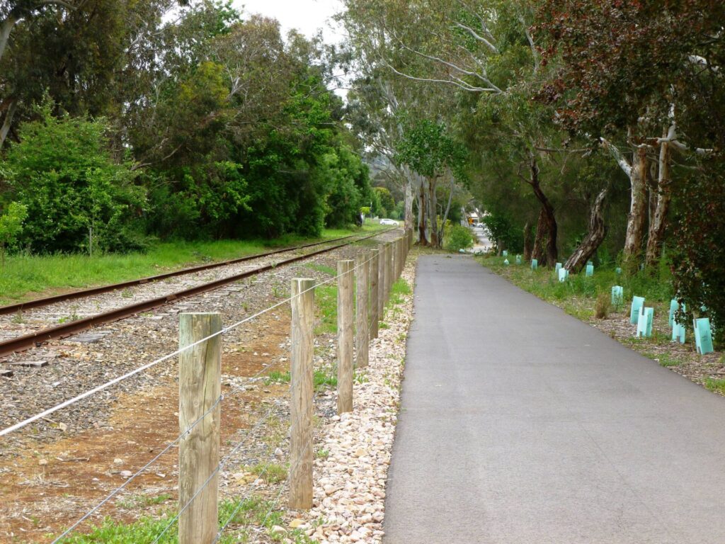
From the station’s western carpark, proceed south along the rail reserve fence-line, initially on concrete path, then gravel, then unformed path until reaching the paved path at the wetlands of Playford Waters Park adjacent to Iberia Way. Where this gravel path passes between the fence and nearby houses is the point at which the Smithfield Magazine railway diverged from the main line.
For a sealed alternate route, proceed via the quiet streets of Graeber Rd and Iberia Drv, paralleling the railway, until reaching Playford Waters Park. There are bridges at either end of the lake and paved paths on both sides.
On reaching Arcadia Drive, cross the bridge over the lake and turn right onto Strathaird Blvd. There is no cycle lane but this is a quiet street.
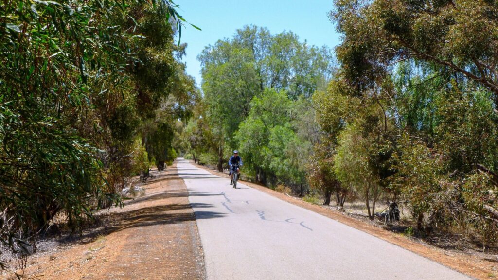
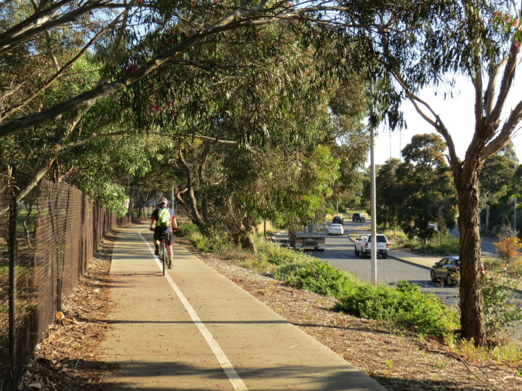
Cross the roundabout at Coventry Rd and continue in the cycle lane on Davoren Rd to the Peachey Rd roundabout. This road is mostly a low traffic volume but there are two large schools nearby so expect traffic around school start/finish.
Peachey Road to Smithfield Magazine (1.7km)
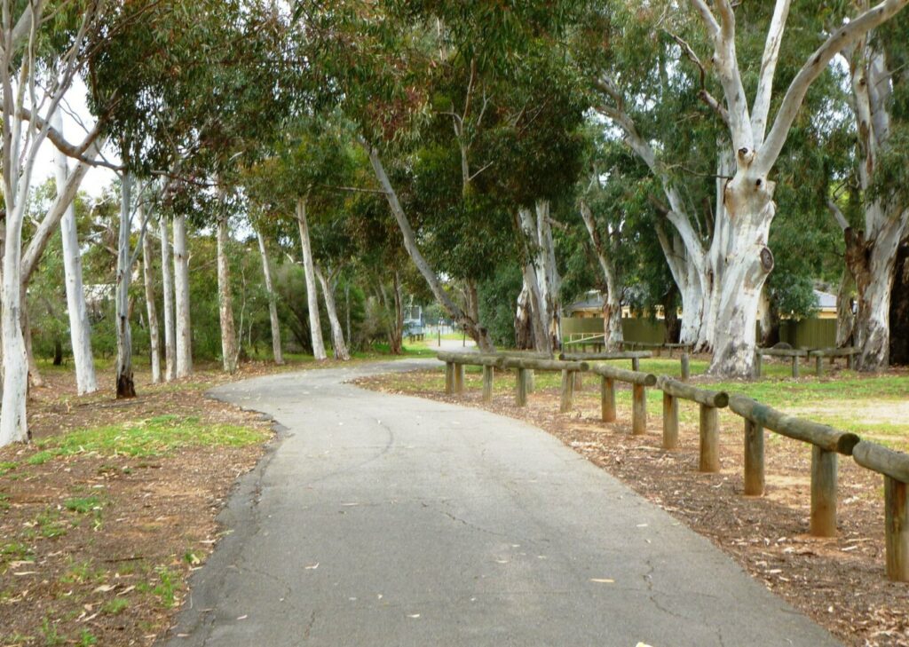
Cross the Peachey Rd roundabout and access the shared use path on the northern side of Davoren Rd. Follow the shared use path past Stebonheath Park on the right. Stebonheath Park has toilets, BBQs, shaded picnic facilities, playground and trails. Parkrun occurs on Saturday mornings.
On reaching President Ave, cross the roundabout and access Eton Drv either by unformed track from the dead-end, or by paved path on the southern edge of the reserve.
At the other end of Eton Drv another unformed track gives access to Magazine Pl which connects to Andrews Rd at the Smithfield Magazine boundary. Eton Drv has no ramps at either end.
From the Magazine fenceline two original Magazine buildings are visible. One straight ahead still has its earth mounds and loading platforms, and one off to the right has been re-purposed and had its earth mounds removed.
Side Trails
Stuart O’Grady Bikeway (1.5 km)
At Andrews Rd turn right and proceed northward. Access the shared use path on the left when it commences. Follow the path around to the left at Curtis Rd until it joins the Stuart O’Grady Bikeway. To the north Gawler is 12km and to the south, Adelaide is 40km.
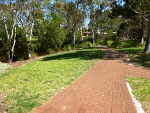
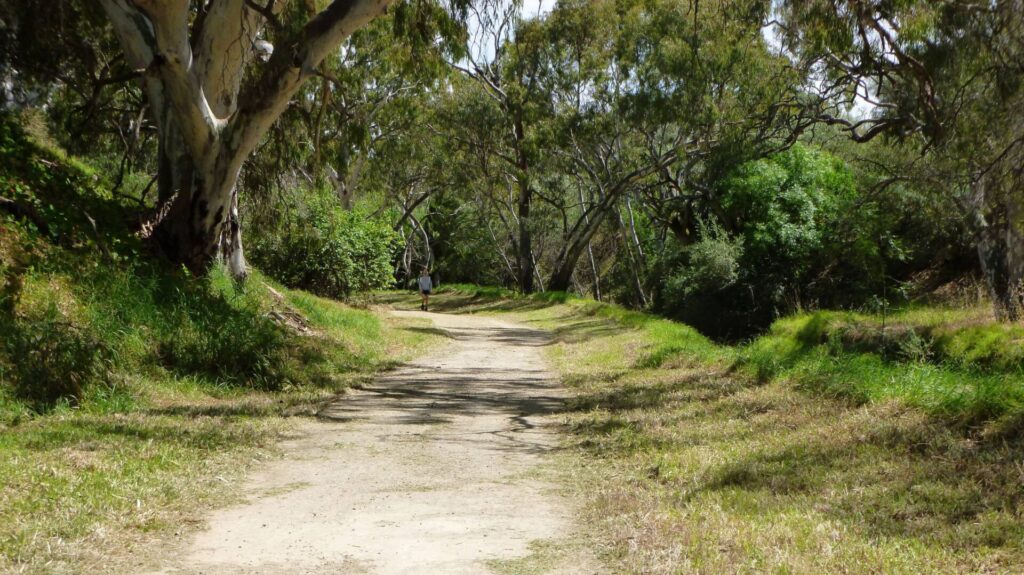
Smith Creek Trail (1.2 km)
The Smith Creek linear park trail is a pleasant 1.2 km trail which starts opposite Stebonheath Park and follows Smith Creek to Petherton Rd.
Penfield Rail Trail (4.3 km)
The Penfield Rail Trail can be accessed via the Smith Creek trail, Petherton Rd and Stebonheath Rd. Exercise caution on the busy Stebonheath Rd. Penfield Rail Trail starts at Bellchambers Rd.
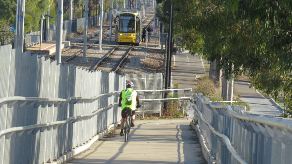
Trail Start Smithfield Station Feb 23
Unformed Trail by Gawler line Feb 23
Paved Wetland Trail Feb 23
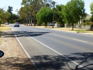
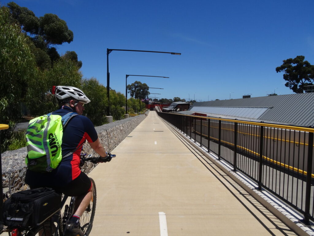
Davoren Rd Cyclelane Feb 23
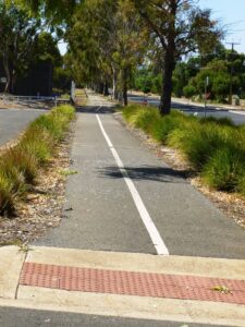
Davoren Rd Shared Path Feb 23
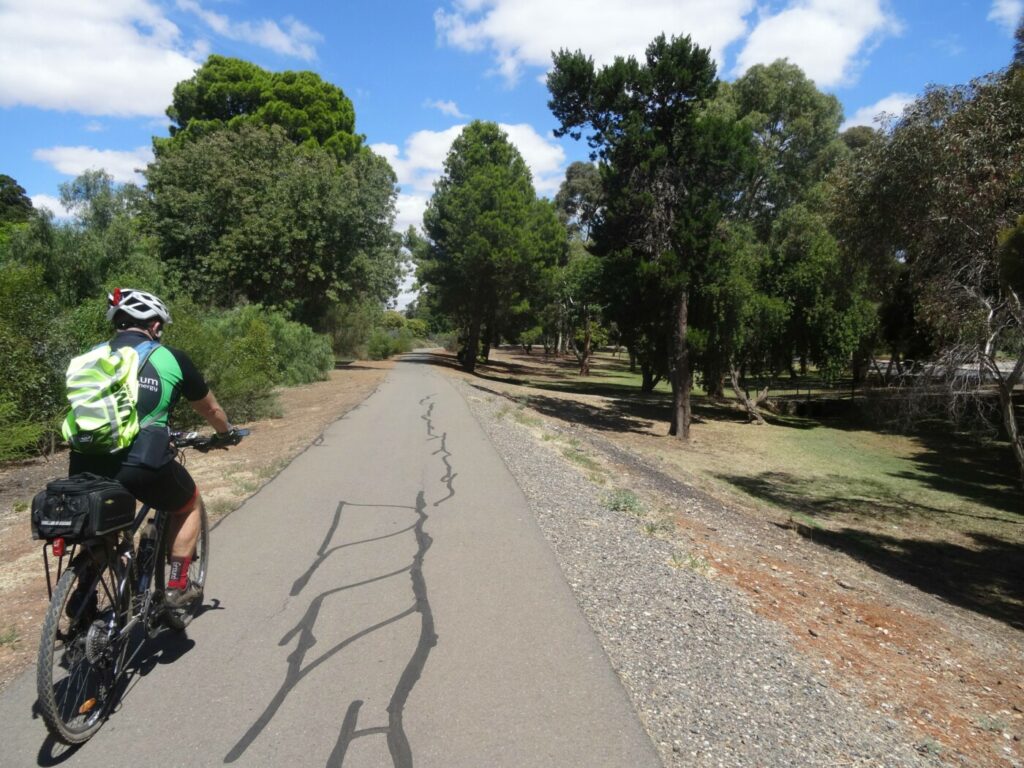
Smith Creek Link path Feb 23
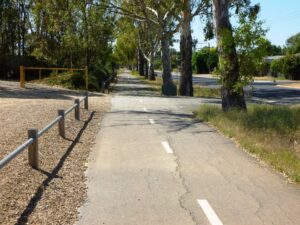
Davoren Rd Shared Path West End Feb 23
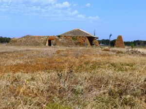
Magazine Building Feb 23
 Leaders in Rail Trail Bicycle and E-Bike Hire in the Yarra Valley and Yarra Ranges. Customise your own riding adventure and help us support local businesses along the way. Family run and owned with extensive local knowledge, bike hire has never been so easy.
Do you know of a bike hire or transportation service on this rail trail that should appear here? If so, let us know at admin@railtrails.org.au.
Information and Links
The trail is managed by The City of Playford. To report any issues or problems:
Ph: 08 8256 0333 or City of Playford
For further information go to:
Rail timetables at Adelaide Metro
Smithfield Magazine railway history https://www.youtube.com/watch?v=Urv4Z_ToODI
Nearby Rail Trail Penfield Rail Trail
Contact Rail Trails Australia
To contact us about this rail trail, email sa@railtrails.org.au
Background Information
Traditional Owners
We acknowledge the Kaurna people, the traditional custodians of the land and waterways on which the rail trail is constructed.
Development and Future of the Rail Trail
The Smithfield Magazine Rail Trail is a good off-road shared path between Peachey Rd and President Avenue. There is potential for more off-road shared path between Coventry and Peachey Rds but no indication that this is likely.
Rail Line History
The Adelaide-Smithfield section of the Gawler line was opened in 1857, making it one of South Australia’s oldest rail lines. In recent years the Gawler line has been electrified and all trains are now modern electric railcars.
The Smithfield magazine was built early in 1941 on a 530 hectare site, about 5 km north of the Salisbury Explosive and Filling Factory. It was the storage area for the Salisbury factory’s munitions, including Cordite, TNT and Nitrocellulose.
Approximately 95 buildings were constructed, each well separated and equidistant from each other to minimise the damage that an explosion would cause. They were surrounded by huge earth mounds and blast protection walls made of sandbags filled with sand and cement. The magazine buildings are constructed of red brick with corrugated cement roofs and have wide eaves.
The magazine was connected to the existing Adelaide-Gawler railway to enable munitions and stores to be moved in and out of the area. A little south of the Smithfield station, a 5’3” railway line branched off the main line, ran alongside the northern side of Davoren Road, crossed Andrews Rd and continued in an east-west direction alongside the road in the Smithfield Magazine.
To facilitate the movement of munitions within the area, an internal tramway operated. There were two main 2 foot gauge lines which ran in an east-west direction along each side of the 5’3” line. Branches came off the 2 foot lines and then off those lines very short spur lines led to individual buildings. There were 4 to 5 spur lines on each branch.
In 1962 moves were made to close the magazine, with the bulk of the explosives destroyed in June 1962, and the area of the overall magazine reduced. A large portion of the land was sold, with some magazine buildings converted into residences by the new owners. Approximately 223 hectares was retained and used as a holding area for bulk explosives.
The railway line was removed around 1967.
Much of the magazine area has now been subdivided and several housing estates are being constructed.
Nearby Trails
Penfield Rail Trail
Northern suburb of Adelaide
7 km


Parafield Rail Trail
15km north of Adelaide
3 km


Gawler Rail Trail
North of Adelaide CBD
14 km
Stockade Rail Trail
Pooraka, 11km north of Adelaide
2.6 km

O-Bahn Busway Rail Trail
Commences from Adelaide CBD
16 km
Barossa Rail Trail
Barossa Valley - between Gawler and Angaston
43 km
Outer Harbor Greenway Rail Trail
Port Adelaide, 20km north west of Adelaide
23 km
Westside Bike Path
2km West of Adelaide.
9 km
Adelaide Hills Amy Gillett Rail Trail
Mount Lofty ranges, 49km east of Adelaide
16 km

Mike Turtur Bikeway
Between Adelaide city and Glenelg
9 km
Coast Park Rail Trail
12 Km west of Adelaide CBD
34 km
Marino Rocks Rail Trail
Marino Rocks
16 km
Kapunda Rail Trail
78km north of Adelaide
1 km
Mount Barker Rail Trail
33km southeast of Adelaide
5 km
Coast to Vines Rail Trail
Southern Adelaide Suburbs
37 km
Eudunda Rail Trail
112km north of Adelaide
1 km
Riesling and Rattler Rail Trail
130km north of Adelaide
53 km
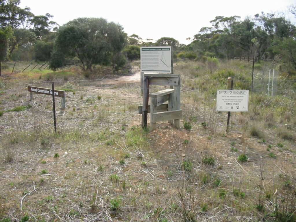
Nurragi Conservation Reserve
Milang approx 70km south east of Adelaide
12 km
Copper Rail Trail
100km north of Adelaide
26 km
Shamus Liptrot Rail Trail
100km north of Adelaide
11 km

Encounter Bikeway
Between Goolwa and Victor Harbour on the Fleurieu Peninsula 90km south of Adelaide
28 km
Nearby Trails
Penfield Rail Trail
Northern suburb of Adelaide
7 km
Parafield Rail Trail
15km north of Adelaide
3 km
Gawler Rail Trail
North of Adelaide CBD
14 km
Stockade Rail Trail
Pooraka, 11km north of Adelaide
2.6 km
O-Bahn Busway Rail Trail
Commences from Adelaide CBD
16 km
Barossa Rail Trail
Barossa Valley - between Gawler and Angaston
43 km
Outer Harbor Greenway Rail Trail
Port Adelaide, 20km north west of Adelaide
23 km
Westside Bike Path
2km West of Adelaide.
9 km
Adelaide Hills Amy Gillett Rail Trail
Mount Lofty ranges, 49km east of Adelaide
16 km
Mike Turtur Bikeway
Between Adelaide city and Glenelg
9 km
Coast Park Rail Trail
12 Km west of Adelaide CBD
34 km
Marino Rocks Rail Trail
Marino Rocks
16 km
Kapunda Rail Trail
78km north of Adelaide
1 km
Mount Barker Rail Trail
33km southeast of Adelaide
5 km
Coast to Vines Rail Trail
Southern Adelaide Suburbs
37 km
Eudunda Rail Trail
112km north of Adelaide
1 km
Riesling and Rattler Rail Trail
130km north of Adelaide
53 km
Nurragi Conservation Reserve
Milang approx 70km south east of Adelaide
12 km
Copper Rail Trail
100km north of Adelaide
26 km
Shamus Liptrot Rail Trail
100km north of Adelaide
11 km
Encounter Bikeway
Between Goolwa and Victor Harbour on the Fleurieu Peninsula 90km south of Adelaide
28 km
